Bawdy Brook Plantation
Wood, Forest in Lancashire
England
Bawdy Brook Plantation
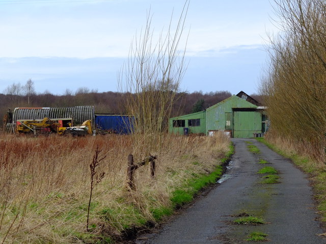
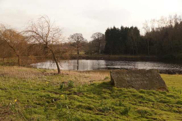
Bawdy Brook Plantation is a picturesque woodland located in the county of Lancashire, England. Situated amidst the captivating beauty of nature, this plantation covers a vast expanse of land, offering a serene and peaceful retreat for visitors.
The plantation is home to a diverse range of tree species, including oak, beech, and birch, creating a rich and vibrant forest environment. The lush greenery and dense canopy provide a haven for various wildlife species, making it a popular spot for nature enthusiasts and photographers.
Traversing the plantation, visitors will discover a network of well-maintained trails and paths, allowing for leisurely walks or invigorating hikes. The winding trails lead visitors through enchanting woodlands, across babbling brooks, and past charming ponds, offering breathtaking views at every turn.
Bawdy Brook Plantation is not only renowned for its natural beauty but also for its historical significance. The area has been inhabited for centuries, and remnants of ancient settlements and agricultural practices can still be seen within the plantation. This adds a sense of intrigue and wonder to the overall experience, as visitors can explore the intertwining narratives of human history and the natural world.
The plantation is a popular destination for families, couples, and individuals looking to escape the hustle and bustle of city life. It provides a tranquil sanctuary where one can immerse themselves in the sights and sounds of nature, offering a truly rejuvenating experience for all who visit.
If you have any feedback on the listing, please let us know in the comments section below.
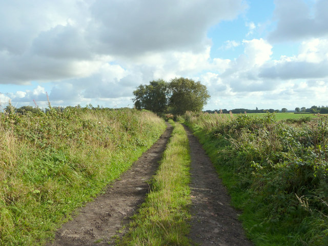
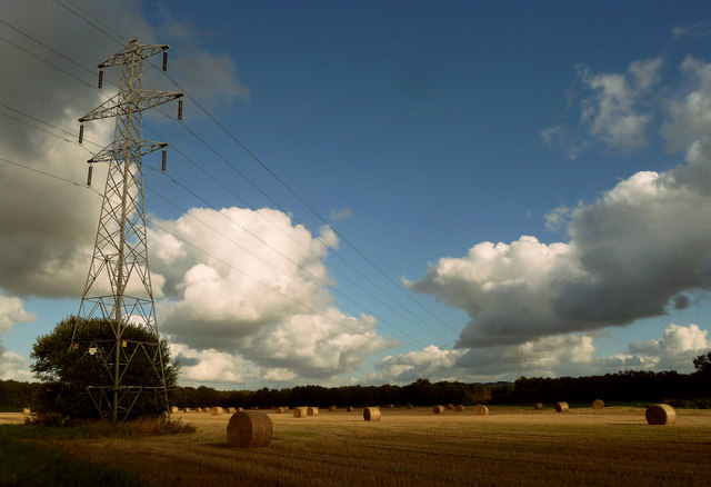
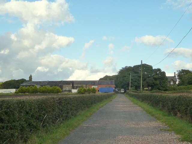
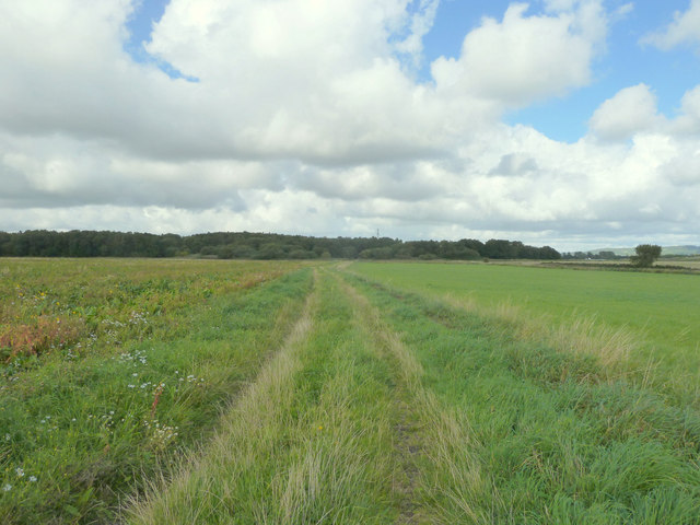
Bawdy Brook Plantation Images
Images are sourced within 2km of 53.519647/-2.7990183 or Grid Reference SD4702. Thanks to Geograph Open Source API. All images are credited.


Bawdy Brook Plantation is located at Grid Ref: SD4702 (Lat: 53.519647, Lng: -2.7990183)
Unitary Authority: St. Helens
Police Authority: Merseyside
What 3 Words
///than.song.spare. Near Rainford, Merseyside
Nearby Locations
Related Wikis
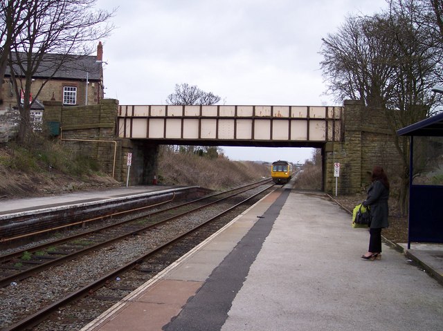
Rainford railway station
Rainford railway station is situated to the north of the village of Rainford, Merseyside, England. It is on the Kirkby branch line. The station, and all...

A570 road
The A570 is a primary route in Northern England, that runs from St Helens to Southport. == Route == Until the early 1970s, the road ran from a junction...

Hey's Crossing Halt railway station
Hey's Crossing Halt railway station was on the Skelmersdale branch, which ran from Ormskirk to Rainford Junction via Skelmersdale. Most trains ran beyond...
Rainford High School
Rainford High School is a coeducational secondary school and sixth form located in Rainford, Merseyside, England. It first opened in 1940 and continues...
Rainford Village railway station
Rainford Village railway station was on the railway line from St Helens to Rainford Junction, then Ormskirk, England. == Opening and early history == The...

Rainford
Rainford is a village and civil parish in the Metropolitan Borough of St Helens, Merseyside, England, 5 miles (8.0 km) north of St Helens. At the 2011...

Barrow Nook
Barrow Nook is a small rural hamlet on the fringes of Bickerstaffe in the county of Lancashire, England.Stone quarried from Barrow Nook was used to build...
White Moss Level Crossing Halt railway station
White Moss Level Crossing Halt railway station was on the Skelmersdale branch, which ran from Ormskirk to Rainford Junction via Skelmersdale. Most trains...
Nearby Amenities
Located within 500m of 53.519647,-2.7990183Have you been to Bawdy Brook Plantation?
Leave your review of Bawdy Brook Plantation below (or comments, questions and feedback).