Cole's Green
Settlement in Suffolk East Suffolk
England
Cole's Green

Cole's Green is a small village located in the county of Suffolk, England. Situated approximately 12 miles southwest of Ipswich, it is nestled in the heart of the beautiful Suffolk countryside. The village is part of the Mid Suffolk district and falls within the civil parish of Kersey.
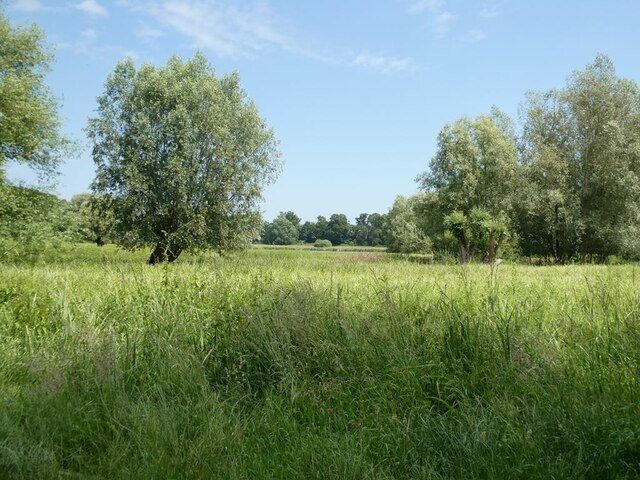
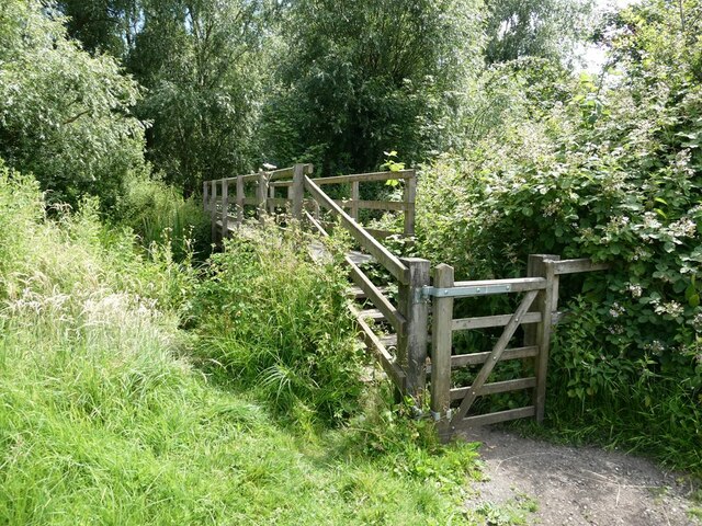
Cole's Green is known for its picturesque setting and tranquil atmosphere, making it an ideal destination for those seeking a peaceful retreat. The village is surrounded by rolling fields, meandering streams, and charming woodland areas, offering residents and visitors ample opportunities for outdoor activities such as walking, cycling, and birdwatching.
The village itself is characterized by a collection of quaint cottages, many of which are made from traditional Suffolk pink bricks and thatched roofs, adding to its rural charm. There is also a small, historic church dating back to the 14th century, which serves as a focal point for the local community.
Although Cole's Green is a small village, it benefits from its proximity to larger towns and cities. The nearby town of Hadleigh provides amenities such as shops, schools, and healthcare facilities. Additionally, the city of Ipswich offers a wider range of services, including shopping centers, restaurants, and cultural attractions.
Overall, Cole's Green offers a peaceful and idyllic setting for those looking to escape the hustle and bustle of city life, while still enjoying convenient access to nearby amenities. Its natural beauty, historic charm, and sense of community make it a desirable place to live or visit in Suffolk.
If you have any feedback on the listing, please let us know in the comments section below.
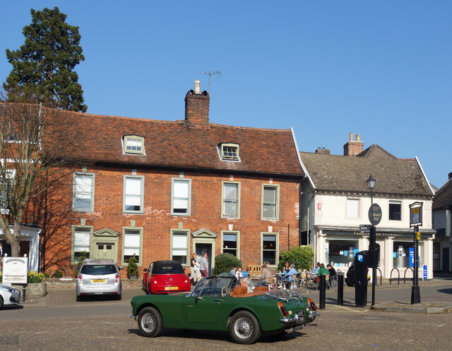
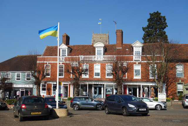
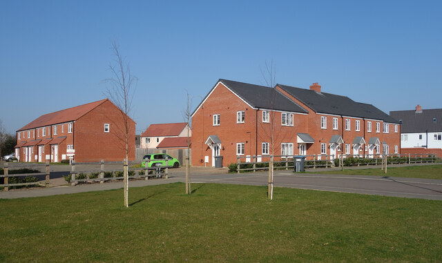
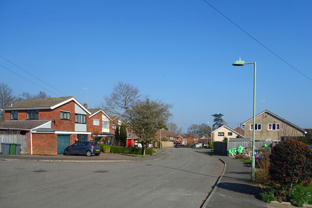
Cole's Green Images
Images are sourced within 2km of 52.211113/1.3504662 or Grid Reference TM2862. Thanks to Geograph Open Source API. All images are credited.


Cole's Green is located at Grid Ref: TM2862 (Lat: 52.211113, Lng: 1.3504662)
Administrative County: Suffolk
District: East Suffolk
Police Authority: Suffolk
What 3 Words
///overnight.chops.symphonic. Near Framlingham, Suffolk
Nearby Locations
Related Wikis
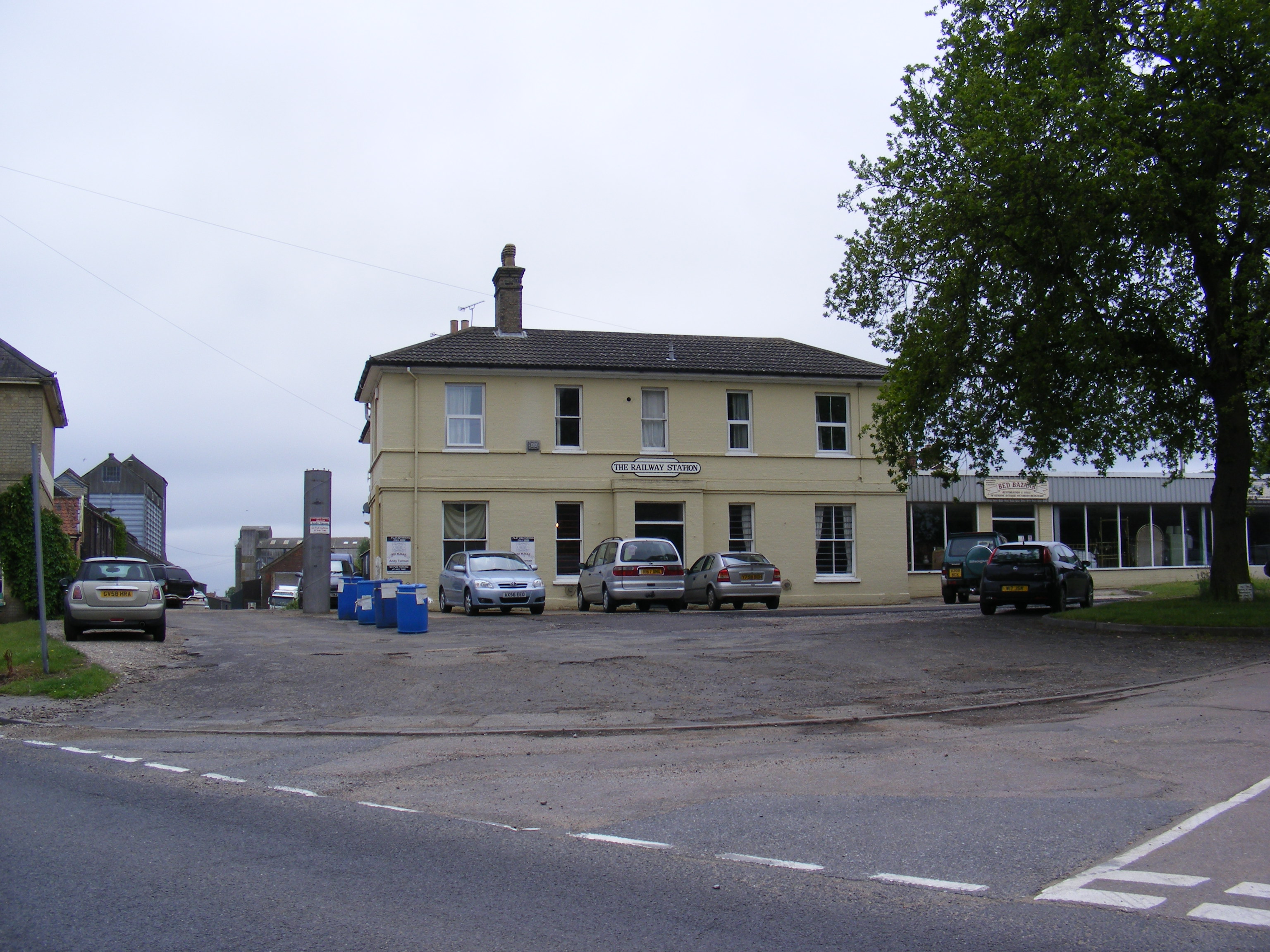
Framlingham railway station
Framlingham railway station was located in Framlingham, Suffolk, UK and was the terminus station on the Framlingham Branch. It opened on 1 June 1859 and...

Loes Hundred
Loes was a hundred of Suffolk, with an area of 31,321 acres (126.75 km2).Loes Hundred was long and thin in shape, around 15 miles (24 km) long and between...

Regency House
Regency House is a grade II* listed house at 7 Church Street in Framlingham, Suffolk, England. The house is timber-framed, of three storeys, and dates...
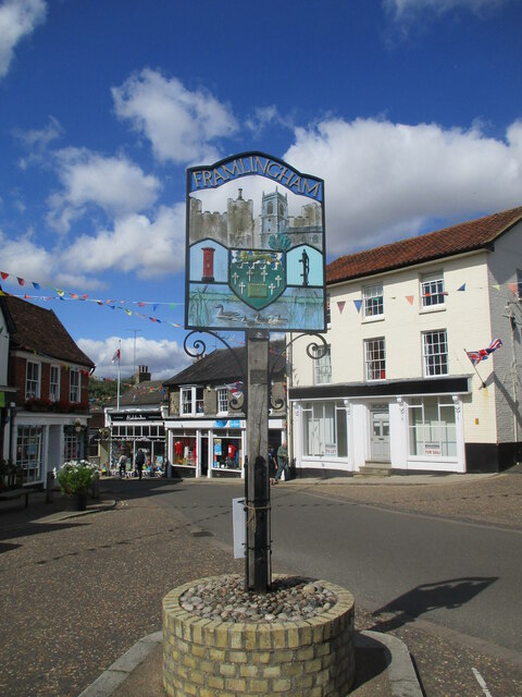
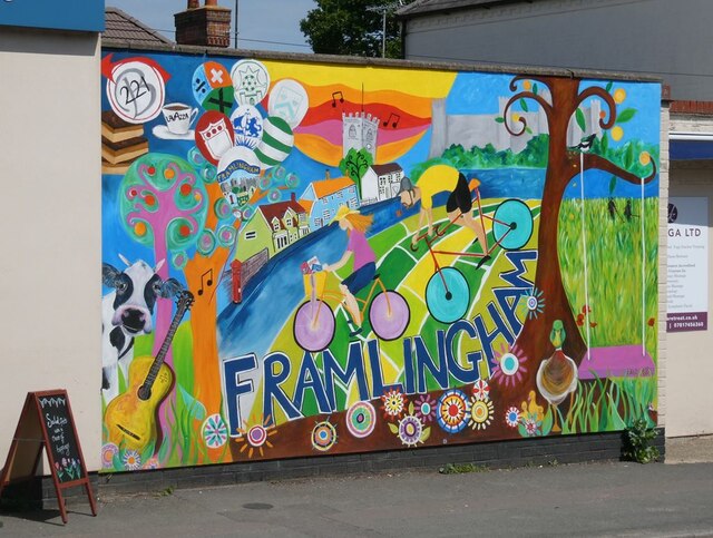
Framlingham
Framlingham is a market town and civil parish in Suffolk, England. Of Anglo-Saxon origin, it appears in the 1086 Domesday Book. The parish had a population...
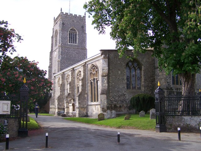
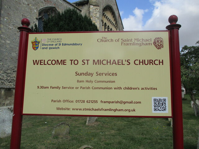
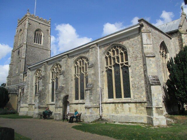
St Michael the Archangel's Church, Framlingham
St Michael's Church in Framlingham, Suffolk is a Church of England church dedicated to Saint Michael. It was the burial site of the Howard family. The...
Framlingham Town F.C.
Framlingham Town Football Club is a football club based in Framlingham, Suffolk, England. Affiliated to the Suffolk County Football Association, they are...

Sir Robert Hitcham's Almshouses
Sir Robert Hitcham's Almshouses are grade II* listed almshouses in New Road, Framlingham, Suffolk, England. They were built in 1654 under the will of Sir...

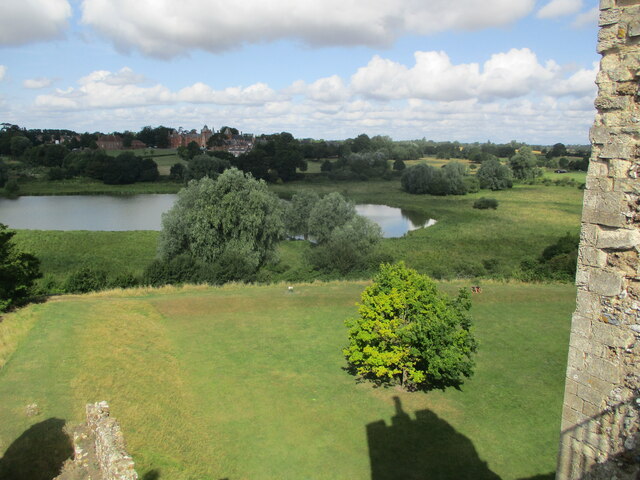
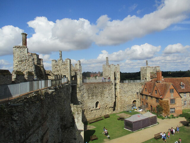
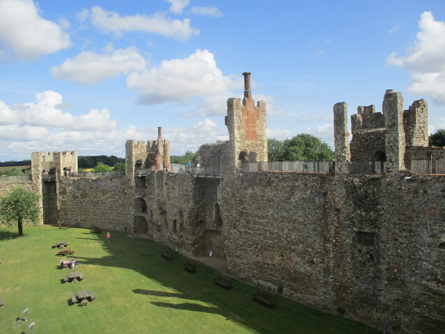
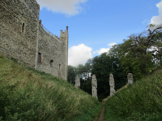
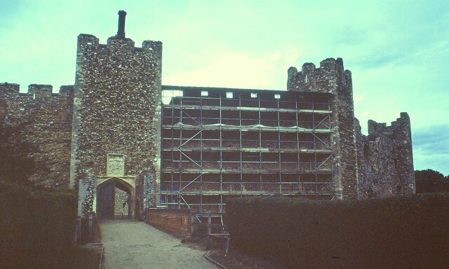
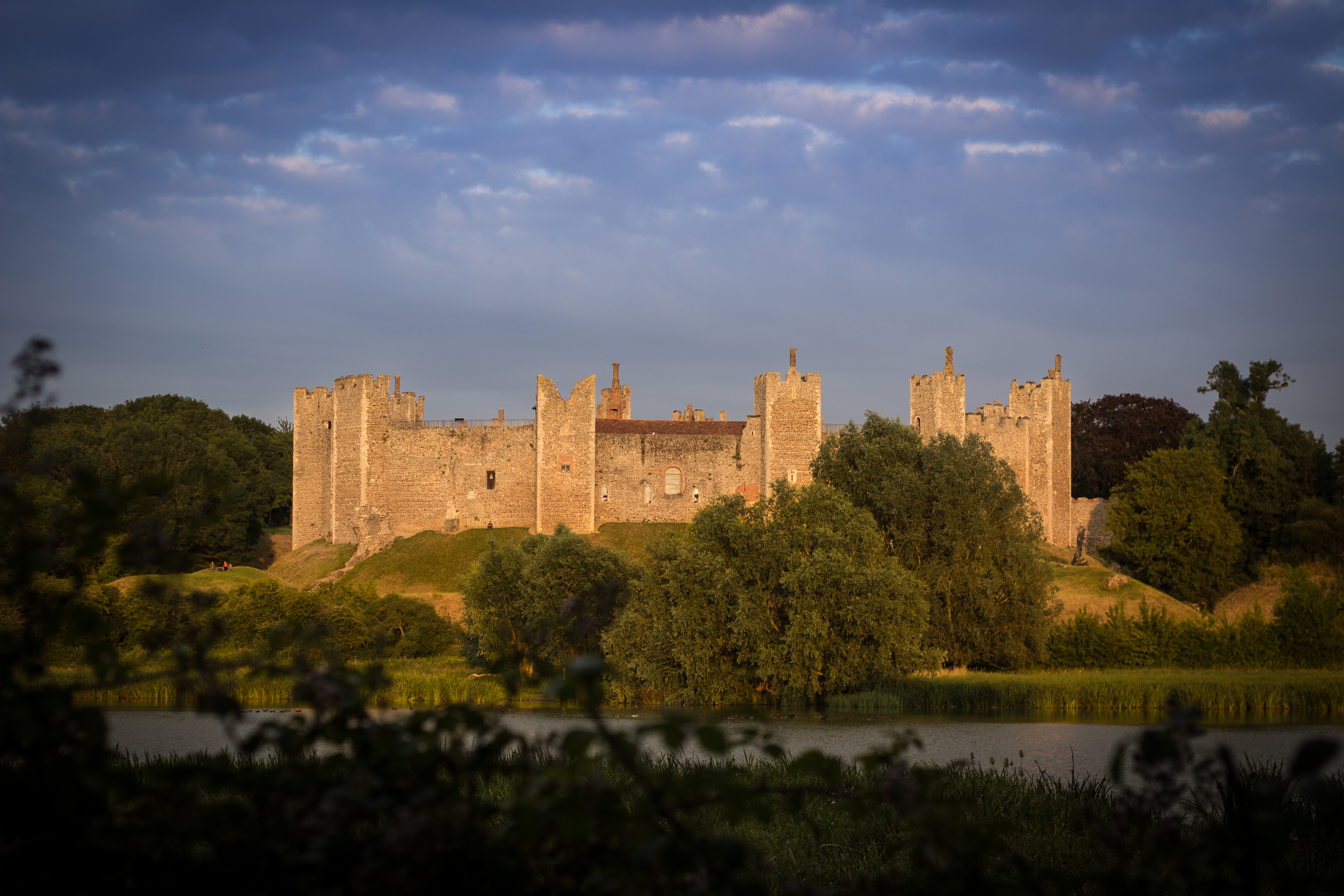
Framlingham Castle
Framlingham Castle is a castle in the market town of Framlingham, Suffolk, England. An early motte and bailey or ringwork Norman castle was built on the...
Have you been to Cole's Green?
Leave your review of Cole's Green below (or comments, questions and feedback).