Coleorton Moor
Settlement in Leicestershire North West Leicestershire
England
Coleorton Moor
Coleorton Moor is a small village located in the county of Leicestershire, England. Situated on the eastern edge of the National Forest, it lies approximately 3 miles southwest of the town of Coalville. The village is primarily rural in nature, with a population of around 500 residents.
The landscape of Coleorton Moor is characterized by rolling hills and open fields, providing picturesque views of the surrounding countryside. The village is surrounded by farmland, with agricultural activities playing a significant role in the local economy.
Historically, Coleorton Moor has been known for its mining industry, particularly coal mining, which was a prominent economic activity in the area during the 19th and 20th centuries. However, the decline of the coal industry in the latter half of the 20th century led to a shift in the village's economic focus.
Today, Coleorton Moor is a peaceful and quiet village, known for its charming rural atmosphere. The village features a mix of traditional and modern housing, with a small number of amenities including a village hall and a local pub. It is also home to Coleorton Primary School, providing education for children in the area.
The village is well-positioned for outdoor enthusiasts, with numerous walking and cycling routes in the vicinity. The nearby National Forest offers opportunities for nature exploration and outdoor activities, making Coleorton Moor an attractive destination for those seeking a peaceful retreat in the heart of the English countryside.
If you have any feedback on the listing, please let us know in the comments section below.
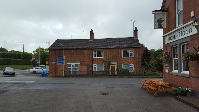
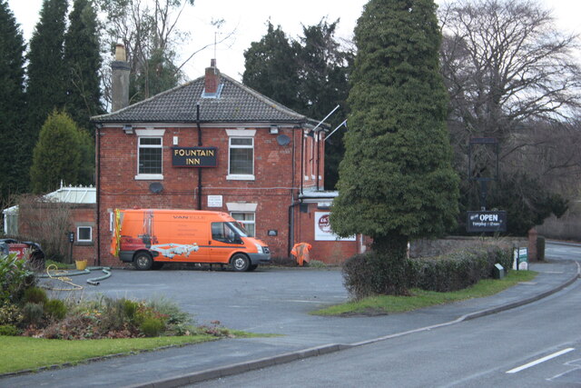
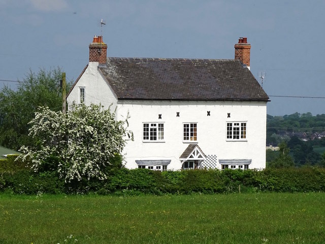
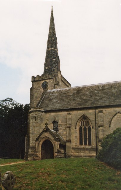
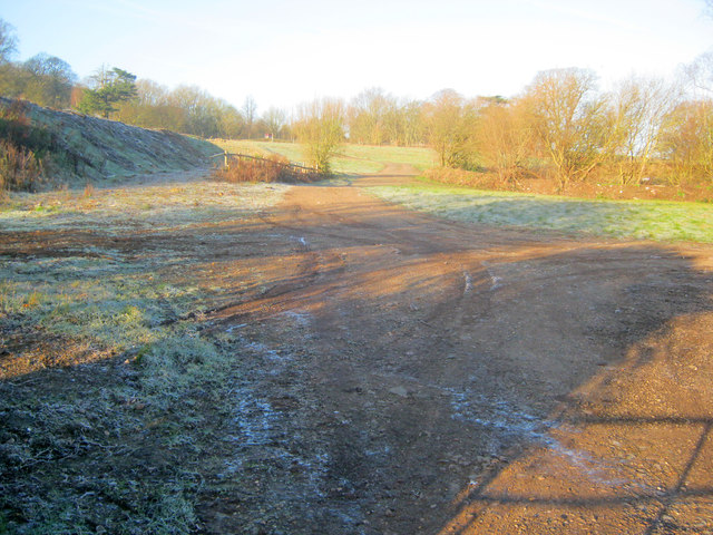
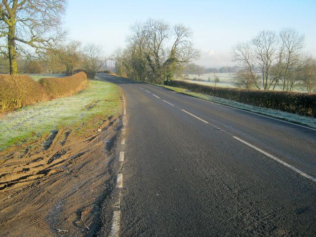
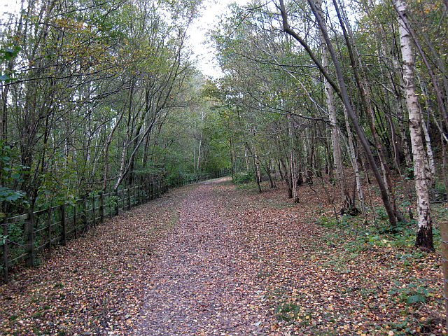
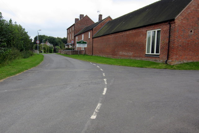
Coleorton Moor Images
Images are sourced within 2km of 52.745502/-1.404452 or Grid Reference SK4016. Thanks to Geograph Open Source API. All images are credited.


Coleorton Moor is located at Grid Ref: SK4016 (Lat: 52.745502, Lng: -1.404452)
Administrative County: Leicestershire
District: North West Leicestershire
Police Authority: Leicestershire
What 3 Words
///leaps.orbit.state. Near Ravenstone, Leicestershire
Nearby Locations
Related Wikis

Coleorton Wood
Coleorton Wood is a woodland in the village of Coleorton, near Coalville in northwest Leicestershire, England. It is a six-hectare (15-acre) mixed woodland...

North West Leicestershire (UK Parliament constituency)
North West Leicestershire is a constituency represented in the House of Commons of the UK Parliament since 2010 by Andrew Bridgen, originally a Conservative...

Coleorton
Coleorton ( kə-LOR-tən) is a village and civil parish in North West Leicestershire, England. It is situated on the A512 road approximately 2 miles (3...
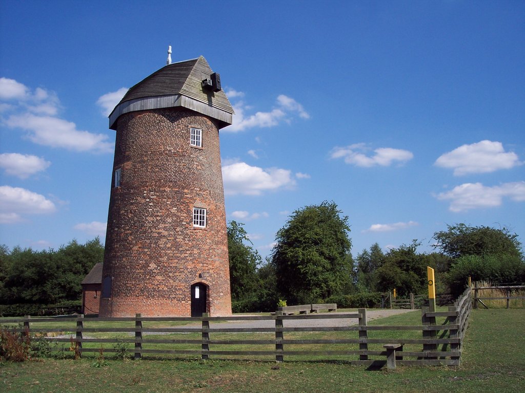
Hough Windmill
Hough windmill, Swannington, Leicestershire is a tower windmill built in the late 18th century on the boundary between Swannington, Leicestershire and...
Califat Coal Mine
The Califat Coal Mine began in 1852, when William Worswick signed a lease with Wyggeston Hospital, Leicester. The Coleorton No 2 Colliery was then sunk...
Swannington railway station
Swannington railway station was a railway station at Swannington in North West Leicestershire, England. Swannington has had two railway stations. The first...
Swannington, Leicestershire
Swannington is a former mining village situated between Coalville and Ashby-de-la-Zouch, Leicestershire, England. A document of 1520 mentions five pits...
Peggs Green
Peggs Green is a hamlet within the parish of Coleorton, Leicestershire. For many years it had formed part of the civil parish of Thringstone, until this...
Nearby Amenities
Located within 500m of 52.745502,-1.404452Have you been to Coleorton Moor?
Leave your review of Coleorton Moor below (or comments, questions and feedback).