Birch Wood

Wood, Forest in Herefordshire

England

Birch Wood

Field near Coed More Farm
Field near Coed More Farm Credit: JThomas

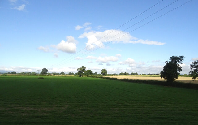
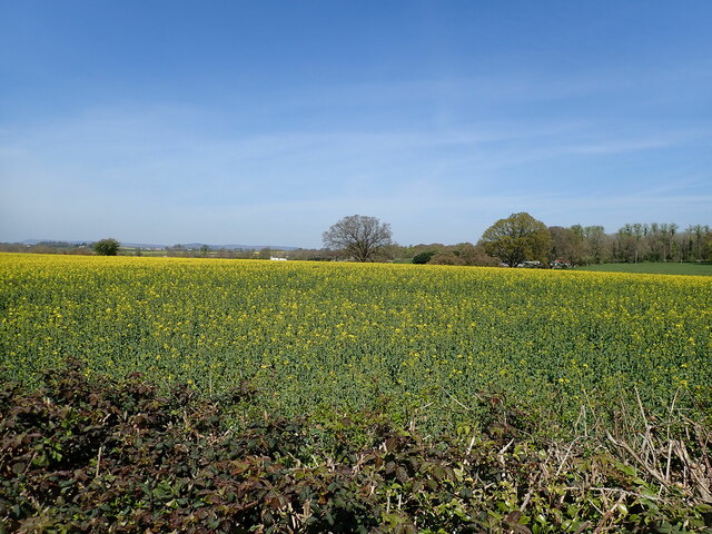
Birch Wood is a picturesque woodland located in Herefordshire, England. Covering an area of approximately 100 acres, it is a haven for nature enthusiasts and visitors seeking tranquility amidst stunning natural beauty. The wood is primarily composed of birch trees, which dominate the landscape with their slender trunks and distinctive white bark.

As visitors explore Birch Wood, they will be greeted by a diverse range of flora and fauna. The forest floor is carpeted with a rich variety of wildflowers, including bluebells, primroses, and wood sorrel, creating a colorful tapestry that changes with the seasons. The wood is also home to a plethora of wildlife, including deer, badgers, foxes, and a multitude of bird species, making it a popular destination for birdwatching.

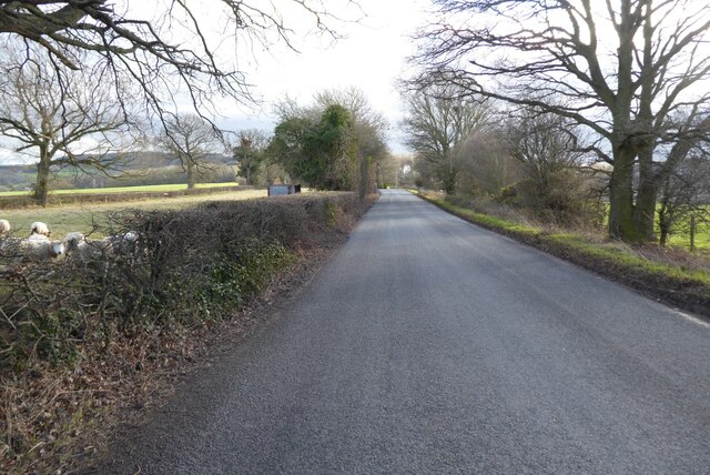
The wood offers a network of picturesque walking trails, allowing visitors to immerse themselves in the tranquil surroundings and breathe in the fresh, crisp air. These paths wind through the trees, offering glimpses of sunlight filtering through the foliage and creating a magical atmosphere. There are also designated picnic areas, providing the perfect opportunity to relax and enjoy a leisurely lunch amidst the peaceful surroundings.

Birch Wood is not only a haven for nature lovers but also serves as an important ecological site. The diverse ecosystem supports a wide range of plant and animal species, contributing to the overall biodiversity of the region.

Overall, Birch Wood in Herefordshire offers a serene escape from the hustle and bustle of everyday life, allowing visitors to reconnect with nature and experience the beauty of an ancient woodland.

If you have any feedback on the listing, please let us know in the comments section below.
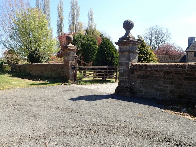
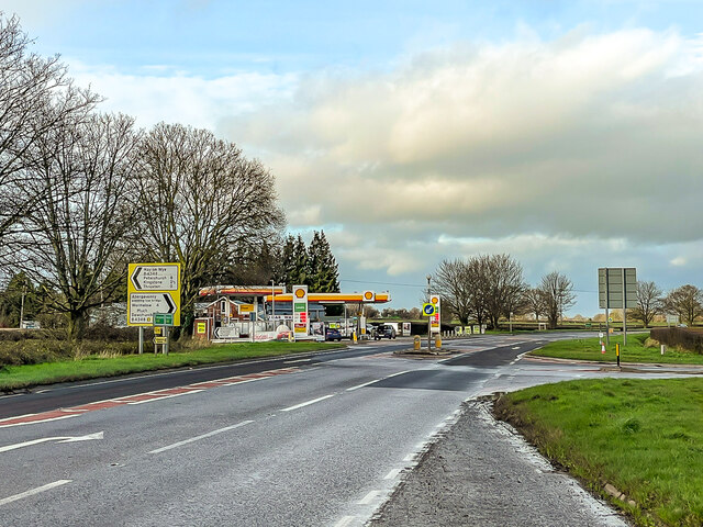
Birch Wood Images

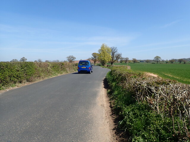
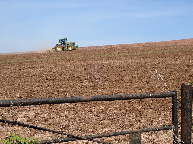
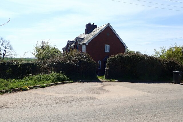
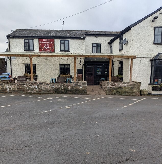
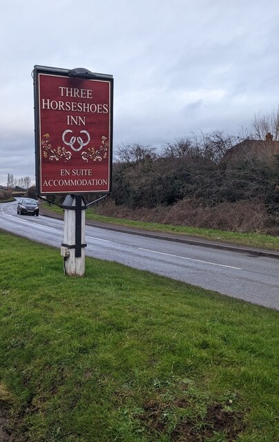
Images are sourced within 2km of 52.012744/-2.7768592 or Grid Reference SO4635. Thanks to Geograph Open Source API. All images are credited.

Field near Coed More Farm
Minor country road heading for Callow
Ploughing on Blakemore Hill
Haywood Cottages On a minor road west of Callow
Haywood Cottages
On a minor road west of Callow
Field of oilseed rape near Callow
Gateposts, Haywood Farm
B4348 The B4348 near Tram Inn.
B4348
The B4348 near Tram Inn.
B4348 The B4348 near Tram Inn.
B4348
The B4348 near Tram Inn.
Allensmore Nurseries Looking across a field to glasshouses at Allensmore Nurseries, a large wholesale plant nursery near Tram Inn.  The silos beyond are for the Cargill (formerly Sun Valley) feed mill, producing chicken feed.
Allensmore Nurseries
Looking across a field to glasshouses at Allensmore Nurseries, a large wholesale plant nursery near Tram Inn. The silos beyond are for the Cargill (formerly Sun Valley) feed mill, producing chicken feed.
Lock's Garage Petrol station and general store on the A465 by its junction with the B4348.
Lock's Garage
Petrol station and general store on the A465 by its junction with the B4348.
Country road from Belmont to Callow
Three Horseshoes Inn, Allensmore, Herefordshire Set back from the B4348.
Three Horseshoes Inn, Allensmore, Herefordshire
Set back from the B4348.
Three Horseshoes Inn name sign, Allensmore, Herefordshire Alongside the B4348 a few metres from the inn. <a title="https://www.geograph.org.uk/photo/7392887" href="https://www.geograph.org.uk/photo/7392887">Link</a>
Three Horseshoes Inn name sign, Allensmore, Herefordshire
Alongside the B4348 a few metres from the inn. Link
SE along the B4348, Allensmore, Herefordshire Towards the A465 junction.
SE along the B4348, Allensmore, Herefordshire
Towards the A465 junction.
7-bar field gate, Allensmore Set back from the B4348 in rural Herefordshire.
7-bar field gate, Allensmore
Set back from the B4348 in rural Herefordshire.
End of the 40 zone, Allensmore, Herefordshire On the approach to the A465 junction, the 40mph speed 
limit on the B4348 increases to the National Speed Limit.
End of the 40 zone, Allensmore, Herefordshire
On the approach to the A465 junction, the 40mph speed limit on the B4348 increases to the National Speed Limit.
Pump 16, Allensmore, Herefordshire Shell pump in Lock's Garage Filling Station located 
alongside the B4348 near the A465 junction (ahead).
Pump 16, Allensmore, Herefordshire
Shell pump in Lock's Garage Filling Station located alongside the B4348 near the A465 junction (ahead).
JWA cabin, Allensmore, Herefordshire John Watkins Automotive Ltd cabin located alongside the B4348 near 
the A465 junction. Text in view in January 2023 includes 
"MOTOR REPAIRS & REFINISHERS". The business's main premises
are nearby, in the Lock's Garage site.
JWA cabin, Allensmore, Herefordshire
John Watkins Automotive Ltd cabin located alongside the B4348 near the A465 junction. Text in view in January 2023 includes "MOTOR REPAIRS & REFINISHERS". The business's main premises are nearby, in the Lock's Garage site.
Show me another place!

Birch Wood is located at Grid Ref: SO4635 (Lat: 52.012744, Lng: -2.7768592)

Unitary Authority: County of Herefordshire

Police Authority: West Mercia

What 3 Words

///mealtime.tube.health. Near Thruxton, Herefordshire

Nearby Locations

Birch Wood

Related Wikis

Allensmore

Allensmore is a village in Herefordshire, England. It is located on the A465 road about 4 miles (6 km) south-west of Hereford. The church is dedicated...

Tram Inn railway station

Tram Inn railway station was a station to the east of Thruxton, Herefordshire, England. It was named after a local public house, itself named after a tramway...

Haywood, Herefordshire

Haywood is a civil parish in Herefordshire, England, and south-west of Hereford. Parish population at the 2011 census was 216. There are no substantial...

Dewsall

Dewsall is a civil parish in south Herefordshire, England, approximately 4 miles (6 km) south from the city and county town of Hereford. The nearest market...

Nearby Amenities

Located within 500m of 52.012744,-2.7768592
Barrier: stile
Lat/Long: 52.0143962/-2.7778145
Barrier: stile
Lat/Long: 52.0106572/-2.7800891
Access: yes
Barrier: stile
Lat/Long: 52.0147198/-2.7822499
The data included in this document is from www.openstreetmap.org. The data is made available under ODbL.

Have you been to Birch Wood?

Leave your review of Birch Wood below (or comments, questions and feedback).