Bircher Coppice

Wood, Forest in Herefordshire

England

Bircher Coppice

Mortimer Trail at Bircher Common
Mortimer Trail at Bircher Common Credit: Row17

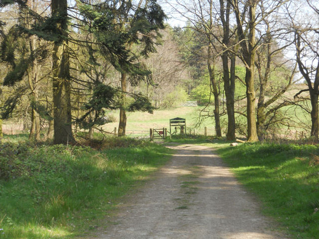
Bircher Coppice is a picturesque woodland located in the county of Herefordshire, England. Covering an area of approximately 40 hectares, it is a site of great natural beauty and is managed by the National Trust. The coppice is situated on the eastern slopes of Bircher Common, offering stunning views of the surrounding countryside.

The woodland is primarily composed of native broadleaf trees such as oak, ash, and beech, which create a diverse and vibrant ecosystem. These trees provide a habitat for a wide range of wildlife including birds, mammals, and insects, making it a popular destination for nature enthusiasts and birdwatchers.

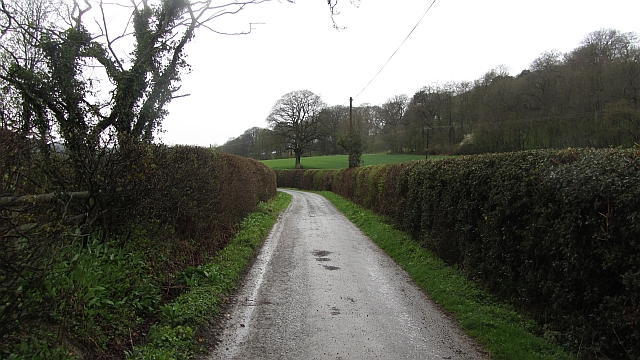
Visitors to Bircher Coppice can explore the well-maintained footpaths and trails that wind through the woodland, allowing them to fully immerse themselves in its tranquility and beauty. The area is known for its rich biodiversity, with many rare and endangered species being found within its boundaries.

In addition to its natural attractions, Bircher Coppice also has historical significance. The site contains the remains of an Iron Age hillfort, known as Croft Ambrey, which dates back over 2,000 years. This ancient fortification offers a fascinating glimpse into the region's rich past and is a popular spot for archaeology enthusiasts.

Overall, Bircher Coppice is a cherished natural gem in Herefordshire, offering visitors a chance to connect with nature, explore its diverse flora and fauna, and delve into the area's fascinating history.

If you have any feedback on the listing, please let us know in the comments section below.

Bircher Coppice Images

Images are sourced within 2km of 52.301349/-2.7829576 or Grid Reference SO4667. Thanks to Geograph Open Source API. All images are credited.

Mortimer Trail at Bircher Common
Lane and footpath near Richard's Castle A waymarker sits between lanes at the junction point.
Lane and footpath near Richard's Castle
A waymarker sits between lanes at the junction point.
April's House, Waterloo Lane, near Richard's Castle A large and impressive house in an isolated spot. Interesting circular saw blade
April's House, Waterloo Lane, near Richard's Castle
A large and impressive house in an isolated spot. Interesting circular saw blade
Orleton Rise Holiday Park A static caravan holiday park within easy reach of many local attractions; Ludlow, Tenbury, Leominster (no, I'm not joking), the Teme valley, Mortimer Forest, the Clee Hills, Richard's Castle, the Mortimer Trail plus numerous small villages with pubs and a wide choice of restaurants. Or visitors could just stay on site drinking their own beer and eating their own barbecue food.
Orleton Rise Holiday Park
A static caravan holiday park within easy reach of many local attractions; Ludlow, Tenbury, Leominster (no, I'm not joking), the Teme valley, Mortimer Forest, the Clee Hills, Richard's Castle, the Mortimer Trail plus numerous small villages with pubs and a wide choice of restaurants. Or visitors could just stay on site drinking their own beer and eating their own barbecue food.
Old building in Orleton I have been watching that tile and waiting for it to fall for, well, maybe five years. This old building could well have been a smithy or a garage, or a coach house for the neighbouring roadside inn. Someone will know.
Old building in Orleton
I have been watching that tile and waiting for it to fall for, well, maybe five years. This old building could well have been a smithy or a garage, or a coach house for the neighbouring roadside inn. Someone will know.
The Maidenhead Inn in Orleton is for sale
Lakeside in the woods
Tree in a Field
Tree in a Field
Road passing Gatley Park The road between The Goggin and Leinthall Earls in limestone country.
Road passing Gatley Park
The road between The Goggin and Leinthall Earls in limestone country.
Village Hall, Green Lane, Yarpole
Croft Castle approaching cattle grid at entrance
B4362 approaches junction with Green Lane
B4362 passes Gate House Farmhouse This large farmhouse was begun in the 16th C. and has had additions in each century since. It is Grade II listed with English Heritage Building ID: 150157.
B4362 passes Gate House Farmhouse
This large farmhouse was begun in the 16th C. and has had additions in each century since. It is Grade II listed with English Heritage Building ID: 150157.
B4362 junction with Kitchen Hill Road
B4361 passes The Maidenhead Inn
Leys Fields off Leys Lane, Bircher.
Leys
Fields off Leys Lane, Bircher.
Highwood Bank Croft woodlands beside Bircher Common (over the fence). The bluebells are escaped cultivated non-native ones.
Highwood Bank
Croft woodlands beside Bircher Common (over the fence). The bluebells are escaped cultivated non-native ones.
End of Millbrook Way, Orleton The junction with the B4361.  The historic centre of the village is east of the north-south road.  In the mid 20th century Millbrook Way ran through countryside between the Maidenhead Inn on the B4361 and the village centre, but it is now lined with houses
End of Millbrook Way, Orleton
The junction with the B4361. The historic centre of the village is east of the north-south road. In the mid 20th century Millbrook Way ran through countryside between the Maidenhead Inn on the B4361 and the village centre, but it is now lined with houses
Show me another place!

Bircher Coppice is located at Grid Ref: SO4667 (Lat: 52.301349, Lng: -2.7829576)

Unitary Authority: County of Herefordshire

Police Authority: West Mercia

What 3 Words

///visa.swordfish.pinches. Near Orleton, Herefordshire

Related Wikis

Bircher Common

Bircher Common is an area of lowland heath in the civil parish of Croft and Yarpole in Herefordshire, England, and 6 miles (10 km) north from Leominster...

Croft and Yarpole

Croft and Yarpole is a civil parish in the county of Herefordshire, England, and is 17 miles (27 km) north from the city and county town of Hereford....

Yarpole

Yarpole is a village and former civil parish, now in the parish of Croft and Yarpole, Herefordshire, England, about 4.5 miles (7 km) north-west of Leominster...
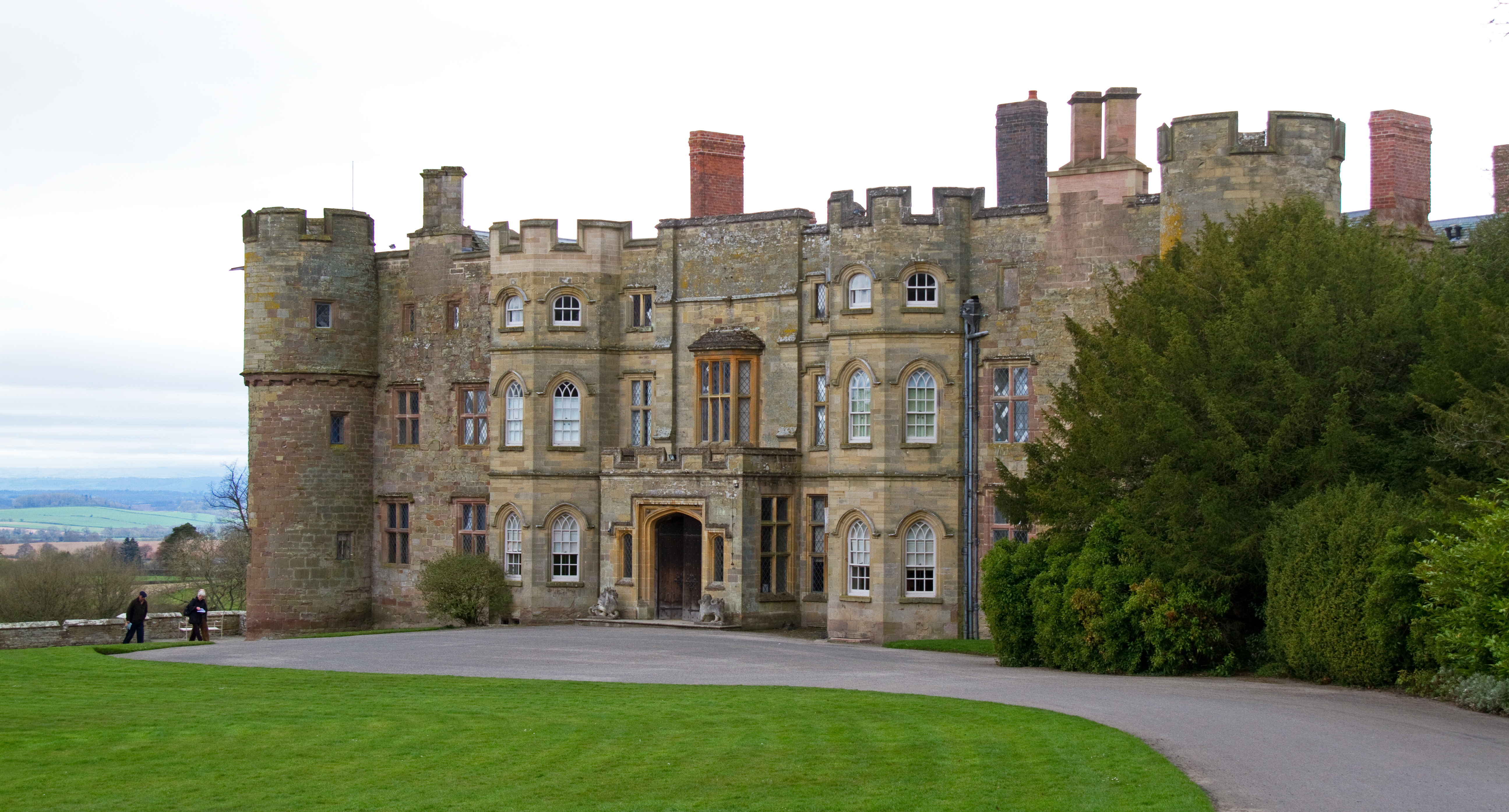
Gatley Park

Gatley Park is an English 17th-century park and country house lying near Leinthall Earls, Herefordshire. Both the park and the house are separately listed...

Nearby Amenities

Located within 500m of 52.301349,-2.7829576
Barrier: stile
Material: wood
Source: survey;gps
Stile: stepover
Lat/Long: 52.3046036/-2.7803732
Barrier: stile
Material: wood
Source: survey;gps
Stile: stepover
Lat/Long: 52.3046086/-2.7785416
Building: yes
Lat/Long: 52.3003339/-2.7771969
Building: yes
Lat/Long: 52.3009113/-2.7772291
The data included in this document is from www.openstreetmap.org. The data is made available under ODbL.

Have you been to Bircher Coppice?

Leave your review of Bircher Coppice below (or comments, questions and feedback).