Black Wood

Wood, Forest in Cumberland Carlisle

England

Black Wood

Crosby Home Farm Trig Point Very well hidden in the hedge
Crosby Home Farm Trig Point Credit: thejackrustles

Black Wood is a dense forest located in the county of Cumberland, England. Spanning an area of approximately 500 acres, it is renowned for its dark and mysterious ambiance, hence its name. The forest is situated within the picturesque landscape of the Lake District National Park, adding to its allure and attracting visitors from far and wide.

The woodland is primarily composed of native tree species, such as oak, ash, and birch, which contribute to its rich biodiversity. The dense canopy of trees creates a sheltered environment, nurturing a variety of wildlife including deer, badgers, squirrels, and a diverse range of bird species. The forest floor is carpeted with a thick layer of moss and ferns, adding to the enchanting atmosphere.

Walking through Black Wood, visitors can explore a network of well-maintained trails that wind through the forest, providing opportunities for leisurely strolls or more challenging hikes. There are also designated picnic areas where visitors can take a break and enjoy the serene surroundings.

The forest is steeped in history and folklore, with tales of ancient rituals and mythical creatures often associated with the area. It is not uncommon to find remnants of old structures hidden amongst the trees, adding to the sense of intrigue and fascination.

Black Wood in Cumberland offers a unique and captivating experience for nature enthusiasts, history buffs, and those seeking solace in the beauty of the natural world. Whether it's a leisurely walk or an exploration of its mystical past, a visit to Black Wood is sure to leave a lasting impression.

If you have any feedback on the listing, please let us know in the comments section below.

Black Wood Images

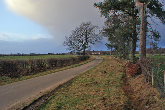
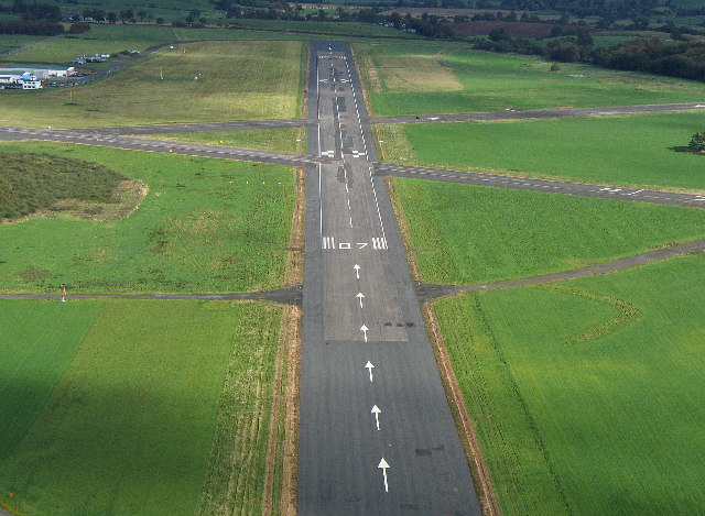
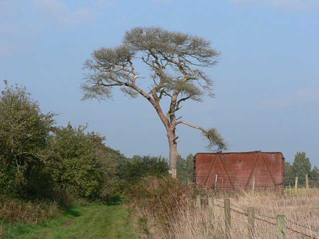
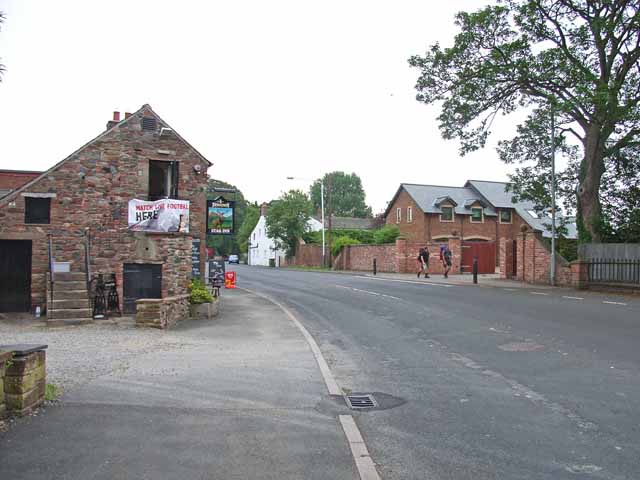
Images are sourced within 2km of 54.92175/-2.8334781 or Grid Reference NY4658. Thanks to Geograph Open Source API. All images are credited.

Crosby Home Farm Trig Point Very well hidden in the hedge
Crosby Home Farm Trig Point
Very well hidden in the hedge
Section of Hadrian's Wall Path
Heading north on Sandy Lane
Walking north along Sandy Lane
Sandy Lane The Hadrian's Wall Path follows this lane between Crosby-on-Eden and Wall Head.
Sandy Lane
The Hadrian's Wall Path follows this lane between Crosby-on-Eden and Wall Head.
Waterlogged field A very wet winter has left the ground saturated, so fresh rainfall is not readily soaking away. 
The hedge on the left follows the line of Stanegate - a Roman Road.
Waterlogged field
A very wet winter has left the ground saturated, so fresh rainfall is not readily soaking away. The hedge on the left follows the line of Stanegate - a Roman Road.
Minor road from Crosby-on-Eden The unclassified road serves a scattering of farms.
Minor road from Crosby-on-Eden
The unclassified road serves a scattering of farms.
Runway 07 Carlisle Airport The start of 07 is a principal feature in this grid square.  However, like many runways it is over 1km in length and so extends into the next square to the East.  Remarkably, a Hercules C130 can take off, land and take off again in its length.
Runway 07 Carlisle Airport
The start of 07 is a principal feature in this grid square. However, like many runways it is over 1km in length and so extends into the next square to the East. Remarkably, a Hercules C130 can take off, land and take off again in its length.
Disused railway container A plaque on the side of the container indicates that it was constructed by Metropolitan Cammell CW & FC Ld.

The path on the left of the picture is part of the Hadrian's Wall Path.
Disused railway container
A plaque on the side of the container indicates that it was constructed by Metropolitan Cammell CW & FC Ld. The path on the left of the picture is part of the Hadrian's Wall Path.
Along the line of Stanegate The Roman road parallel to Hadrian's Wall passed roughly along the field edge here.
Along the line of Stanegate
The Roman road parallel to Hadrian's Wall passed roughly along the field edge here.
Woodside.
Woodside.
"Newby East"
"Newby East"
Main street, Crosby-on-Eden The Stag Inn and village centre of Crosby-on-Eden. This road was once the main road out to the east from northern Carlisle.
Main street, Crosby-on-Eden
The Stag Inn and village centre of Crosby-on-Eden. This road was once the main road out to the east from northern Carlisle.
Eden Golf Club, near Crosby-on-Eden A challenging water feature. <span class="nowrap"><a title="http://www.edengolf.co.uk" rel="nofollow ugc noopener" href="http://www.edengolf.co.uk">Link</a><img style="margin-left:2px;" alt="External link" title="External link - shift click to open in new window" src="https://s1.geograph.org.uk/img/external.png" width="10" height="10"/></span>
Eden Golf Club, near Crosby-on-Eden
A challenging water feature. LinkExternal link
Livestock sheds at Holme Ends Farm, Newby East Not too sure what's being kept in these sheds. Chickens?
Livestock sheds at Holme Ends Farm, Newby East
Not too sure what's being kept in these sheds. Chickens?
Little Corby The white house on the left is the Haywain public house
Little Corby
The white house on the left is the Haywain public house
River Irthing Looking upstream from the bridge at Newby East
River Irthing
Looking upstream from the bridge at Newby East
Newby East from the bridge The village stands well above the river on a terrace. The building on the left looks very much like a fortified farmhouse, quite common in Cumbria, dating from the days of the Border Reivers.
Newby East from the bridge
The village stands well above the river on a terrace. The building on the left looks very much like a fortified farmhouse, quite common in Cumbria, dating from the days of the Border Reivers.
Show me another place!

Black Wood is located at Grid Ref: NY4658 (Lat: 54.92175, Lng: -2.8334781)

Administrative County: Cumbria

District: Carlisle

Police Authority: Cumbria

What 3 Words

///regress.stream.hunches. Near Wetheral, Cumbria

Nearby Locations

Black Wood

Related Wikis

Crosby-on-Eden

Crosby-on-Eden is the combined name for two small villages, High Crosby and Low Crosby, within the civil parish of Stanwix Rural near Carlisle, in the...

Holme Eden Abbey

Holme Eden Abbey was an abbey in Cumbria, England. The current building (built 1833–37) is a Grade II* listed building. == History == It was designed in...

Little Corby

Little Corby is a village in the county of Cumbria in the north of England. It is east of the city of Carlisle, alongside the River Eden and near to the...

Warwick Hall

Warwick Hall is a large country house located on the banks of the River Eden at Warwick-on-Eden in Cumbria, England, United Kingdom. == History == The...

Nearby Amenities

Located within 500m of 54.92175,-2.8334781
Power: pole
Lat/Long: 54.9178248/-2.8334571
Power: pole
Lat/Long: 54.9181507/-2.8353087
Power: pole
Lat/Long: 54.9184539/-2.8369995
Power: pole
Lat/Long: 54.9190255/-2.8386295
Power: pole
Lat/Long: 54.9195742/-2.8401013
The data included in this document is from www.openstreetmap.org. The data is made available under ODbL.

Have you been to Black Wood?

Leave your review of Black Wood below (or comments, questions and feedback).