Big Belt
Wood, Forest in Westmorland South Lakeland
England
Big Belt
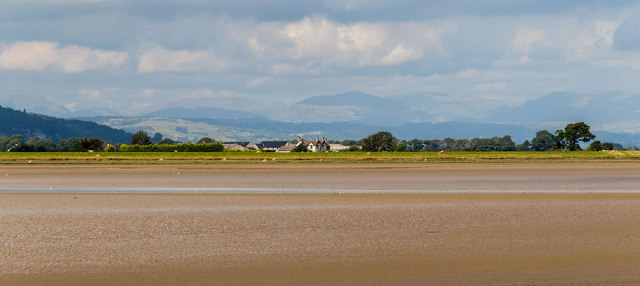
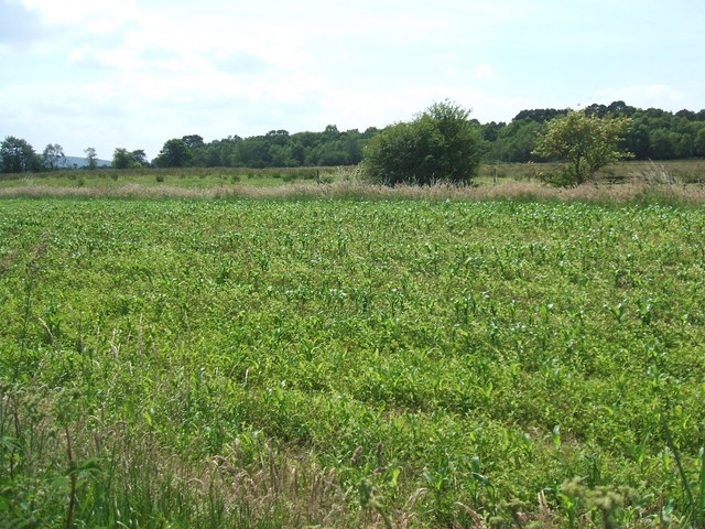
Big Belt, Westmorland (Wood, Forest) is a small town located in the heart of Westmorland County, New Brunswick, Canada. Situated amidst lush greenery and surrounded by the picturesque beauty of the Big Belt Forest, this town is known for its peaceful atmosphere and natural charm.
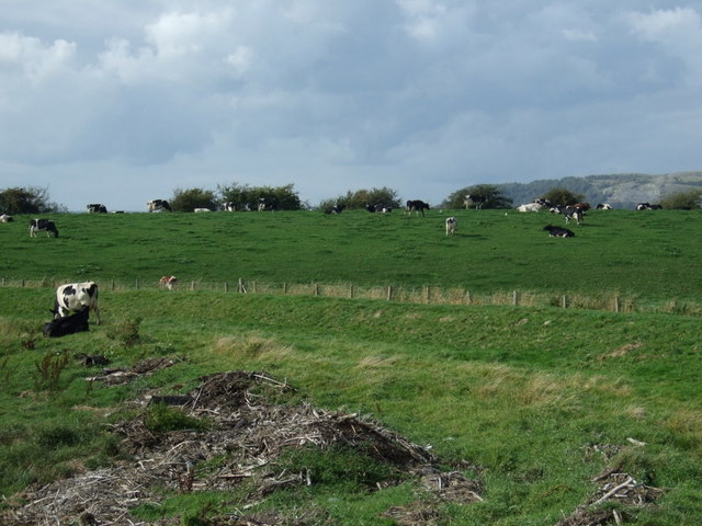
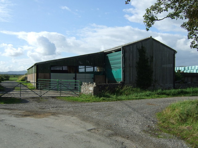
Covering an area of approximately 50 square kilometers, Big Belt is home to a close-knit community of around 500 residents. The town's economy primarily relies on forestry and wood-related industries, owing to its abundant forest resources. The Big Belt Forest, which spans across the town, is characterized by its diverse range of tree species, including spruce, pine, and birch. This makes it an ideal location for timber production and logging activities.
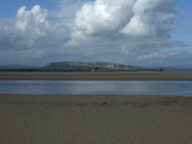
In addition to its natural beauty, Big Belt offers a range of recreational activities for both residents and visitors. The town features numerous hiking trails, where outdoor enthusiasts can explore the forested areas and enjoy breathtaking views of the surrounding landscape. The nearby Big Belt River provides opportunities for fishing and boating, attracting nature lovers and anglers alike.
Residents of Big Belt enjoy a peaceful and close-knit community life. The town is equipped with essential amenities such as schools, community centers, and a small shopping district to cater to the needs of its residents. The local residents take pride in preserving the town's natural environment and actively participate in community initiatives and events.
Overall, Big Belt, Westmorland (Wood, Forest) offers a serene and picturesque setting, making it an ideal destination for nature lovers and those seeking a tranquil lifestyle away from the hustle and bustle of urban areas.
If you have any feedback on the listing, please let us know in the comments section below.
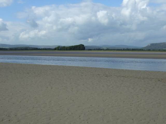
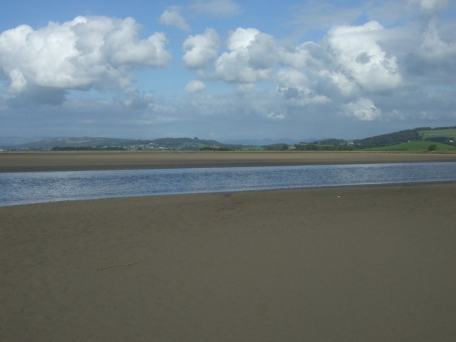
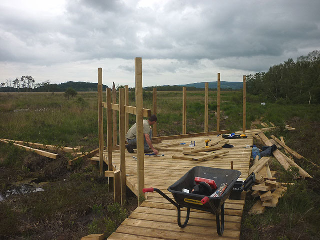
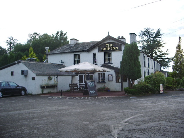
Big Belt Images
Images are sourced within 2km of 54.236314/-2.8203068 or Grid Reference SD4682. Thanks to Geograph Open Source API. All images are credited.


Big Belt is located at Grid Ref: SD4682 (Lat: 54.236314, Lng: -2.8203068)
Administrative County: Cumbria
District: South Lakeland
Police Authority: Cumbria
What 3 Words
///swells.smokers.motoring. Near Milnthorpe, Cumbria
Nearby Locations
Related Wikis
Foulshaw Moss
Foulshaw Moss is a raised bog in Cumbria, England. In 1998 it was bought by Cumbria Wildlife Trust, which has worked to reverse damage caused to the bog...

Witherslack Mosses
Witherslack Mosses are a fragmented wetland west of the Kent estuary in Cumbria, England, within the Lake District National Park. They consist of three...

River Gilpin
The River Gilpin is a river in the English county of Cumbria. Formerly, the river was in the county of Westmorland. The river rises near Gilpin Lodge in...
Sandside, Beetham
Sandside is a hamlet near Storth in Beetham parish, South Lakeland, Cumbria, England. Historically in Westmorland, it lies on the south shore of the estuary...
Sandside railway station
Sandside was a railway station situated on the Hincaster Branch of the Furness Railway serving the hamlet and quarries of Sandside. The following station...

River Bela
The River Bela is a short (approximately 4 miles (6.5 km)) river in the county of Cumbria, England. It is in the ancient county of Westmorland. The river...

Beck Head
Beck Head is a village in Cumbria, England. == References ==
Meathop Moss
Meathop Moss is a raised bog located north of Meathop in Cumbria, England. Protected as a nature reserve by the Cumbria Wildlife Trust, Meathop Moss is...
Have you been to Big Belt?
Leave your review of Big Belt below (or comments, questions and feedback).