Broomy Rise Coppice

Wood, Forest in Herefordshire

England

Broomy Rise Coppice

Farmland at Breinton A footpath follows this fence separating this field and orchard.
Farmland at Breinton Credit: Philip Halling

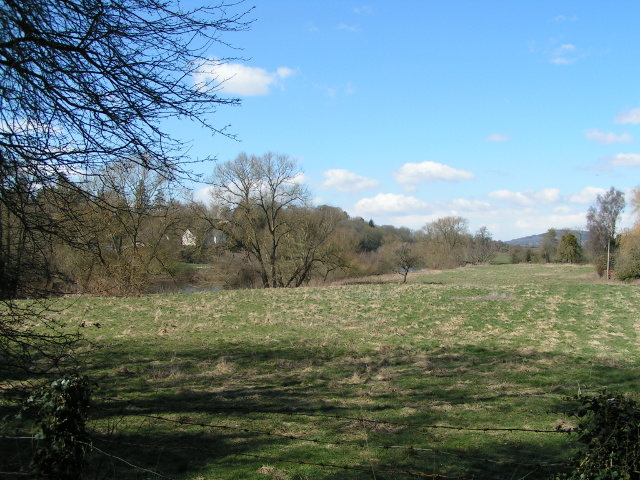
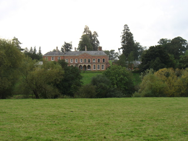
Broomy Rise Coppice is a picturesque woodland area located in Herefordshire, England. Spread across several acres, this charming coppice offers a serene and tranquil escape for nature enthusiasts and outdoor lovers.

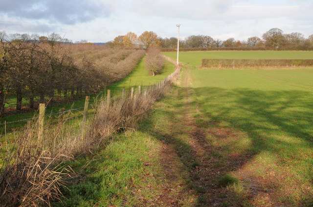
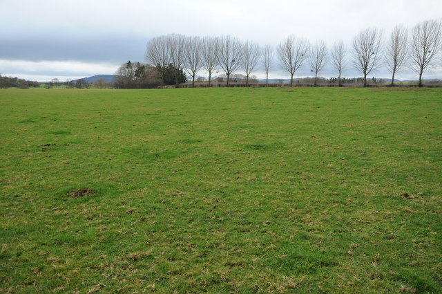
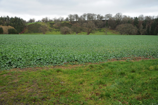
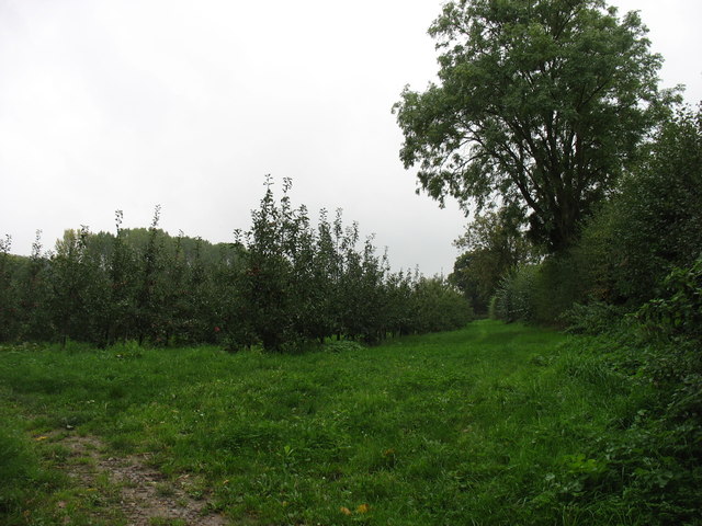
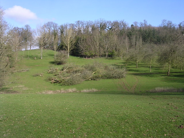
The woodland is characterized by its dense cover of deciduous trees, predominantly oak and beech, interspersed with occasional ash, birch, and hazel trees. These tall and majestic trees create a vibrant canopy that provides shade during the summer months and a colorful display during autumn. The forest floor is adorned with a rich carpet of ferns, bluebells, and various wildflowers, adding to the beauty of the landscape.

Broomy Rise Coppice is home to a diverse range of wildlife, including deer, foxes, badgers, and numerous bird species. Birdwatchers can often spot woodpeckers, owls, and various songbirds among the branches. The coppice also boasts a small stream that meanders through the woodland, attracting small mammals and amphibians.

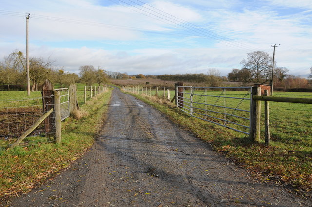
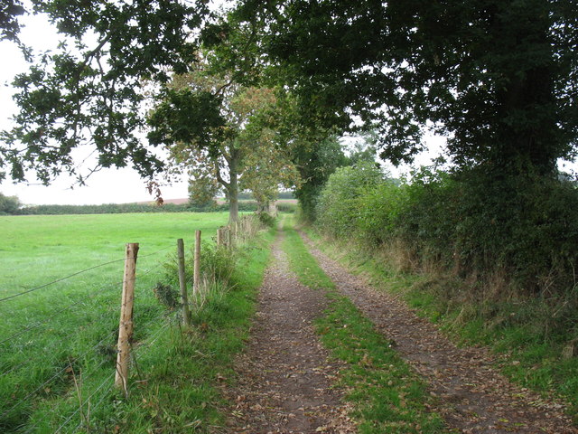
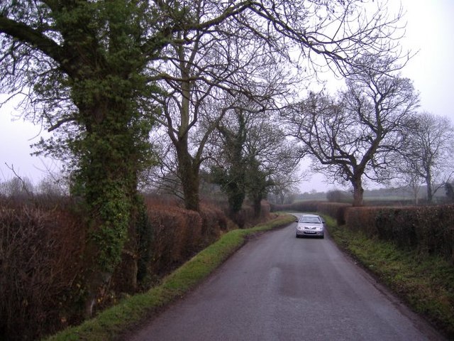
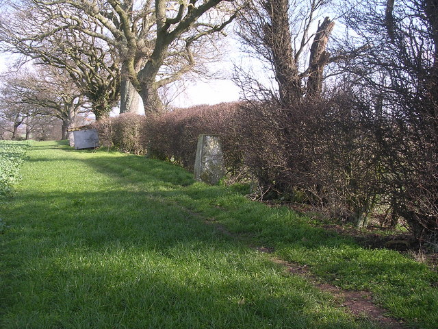
The wood is a popular destination for hikers, nature walks, and picnickers, with several well-marked trails crisscrossing the area. Visitors can explore the network of winding paths that lead through the coppice, taking in the sights and sounds of nature along the way. The tranquil atmosphere makes it an ideal spot for those seeking peace and solitude.

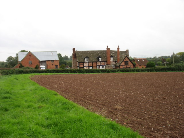
Broomy Rise Coppice is managed and maintained by local conservation organizations, ensuring its preservation and protection for future generations. It is easily accessible and provides ample parking facilities for visitors. With its natural beauty and diverse wildlife, Broomy Rise Coppice is a true gem of Herefordshire, offering a delightful experience for all who venture into its woodland embrace.

If you have any feedback on the listing, please let us know in the comments section below.

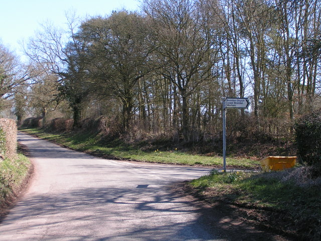
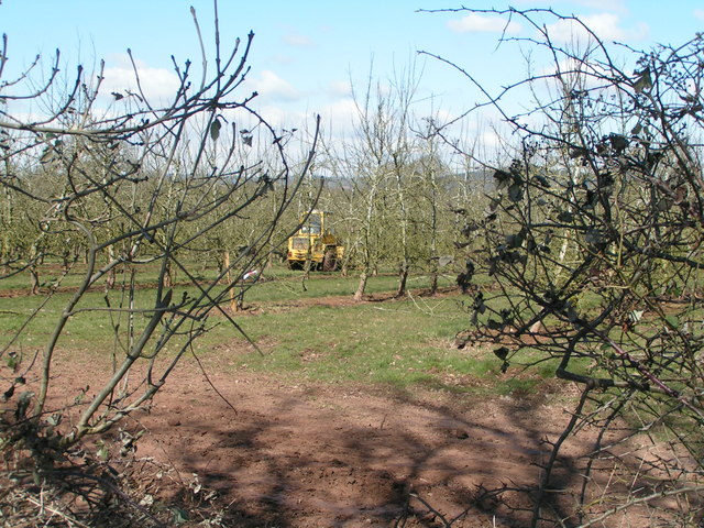
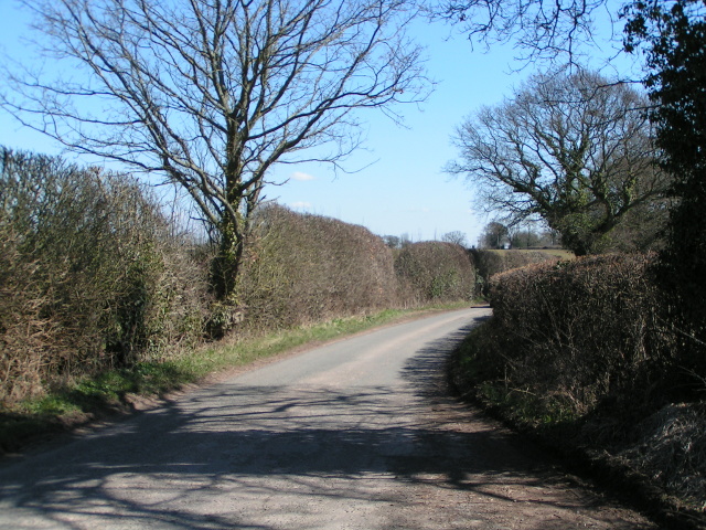
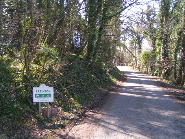
Broomy Rise Coppice Images

Images are sourced within 2km of 52.050164/-2.7822184 or Grid Reference SO4639. Thanks to Geograph Open Source API. All images are credited.

Farmland at Breinton A footpath follows this fence separating this field and orchard.
Farmland at Breinton
A footpath follows this fence separating this field and orchard.
Farm drive at Upper Breinton
Meadowland at Breinton The Wye Valley Walk crosses this meadowland near Breinton.
Meadowland at Breinton
The Wye Valley Walk crosses this meadowland near Breinton.
Arable land at Breinton
Lane junction near Breinton Sign says "Breinton Church, Lower Breinton, Wareham"
Lane junction near Breinton
Sign says "Breinton Church, Lower Breinton, Wareham"
Working in the orchard near Upper Breinton
Lane heading east from Upper Breinton
Entering Breinton from the north
The Wye valley north of Breinton
Orchards at Sugwas Taken from the old route of the Wye Valley Walk (the new route is slightly further west).
Orchards at Sugwas
Taken from the old route of the Wye Valley Walk (the new route is slightly further west).
The Wye Valley Walk near Upper Breinton
Upper Breinton The Wye Valley Walk passes through this small village.
Upper Breinton
The Wye Valley Walk passes through this small village.
Lower Eaton House Seen from the Wye Valley Walk, the house is on the far side of the river.
Lower Eaton House
Seen from the Wye Valley Walk, the house is on the far side of the river.
The road to Upper Breinton A quiet country lane winds its way through cider orchard country.
The road to Upper Breinton
A quiet country lane winds its way through cider orchard country.
Cider Press Little Breinton Farm This cider press,presumably it was a two stage process is by the roadside adjacent to the farm entrance. The farm is surrounded by cider orchards.
Cider Press Little Breinton Farm
This cider press,presumably it was a two stage process is by the roadside adjacent to the farm entrance. The farm is surrounded by cider orchards.
Trig point in hedge The view from here is extensive and to the South West encompasses the Black Mountains, Black Hill and Black Darren with the escarpment of Hay Bluff. The River Wye flows just across the SW corner of this square
Trig point in hedge
The view from here is extensive and to the South West encompasses the Black Mountains, Black Hill and Black Darren with the escarpment of Hay Bluff. The River Wye flows just across the SW corner of this square
Orchard Orchard close to Sugwas Court. This is a mature orchard and some trees are being removed, hopefully on a selective rather than a wholesale basis.
Orchard
Orchard close to Sugwas Court. This is a mature orchard and some trees are being removed, hopefully on a selective rather than a wholesale basis.
Formerly, The Boat Inn Outbuildings opposite "The Boat" a Riverside pub by the Wye
Formerly, The Boat Inn
Outbuildings opposite "The Boat" a Riverside pub by the Wye
Show me another place!

Broomy Rise Coppice is located at Grid Ref: SO4639 (Lat: 52.050164, Lng: -2.7822184)

Unitary Authority: County of Herefordshire

Police Authority: West Mercia

What 3 Words

///lavished.deflect.enormous. Near Belmont, Herefordshire

Related Wikis

Breinton

Breinton is a civil parish in Herefordshire, England. Breinton lies just to the west of Hereford. The name Breinton appears to be a modernised form of...

Upper Breinton

Upper Breinton is a village in Herefordshire, England. It is located in the civil parish of Breinton. == References == The geographic coordinates are from...

Warham, Herefordshire

Warham is a place in the English county of Herefordshire. It is situated about 3 km west of the city of Hereford, close to the north bank of the River...

Belmont Abbey, Herefordshire

Belmont Abbey, in Herefordshire, England, is a Catholic Benedictine monastery that forms part of the English Benedictine Congregation. It stands on a small...

Nearby Amenities

Located within 500m of 52.050164,-2.7822184
Breinton
Place: hamlet
Source: OS OpenData Streetview
Lat/Long: 52.0545621/-2.7815366
The data included in this document is from www.openstreetmap.org. The data is made available under ODbL.

Have you been to Broomy Rise Coppice?

Leave your review of Broomy Rise Coppice below (or comments, questions and feedback).