Birkmere Wood
Wood, Forest in Cumberland Eden
England
Birkmere Wood
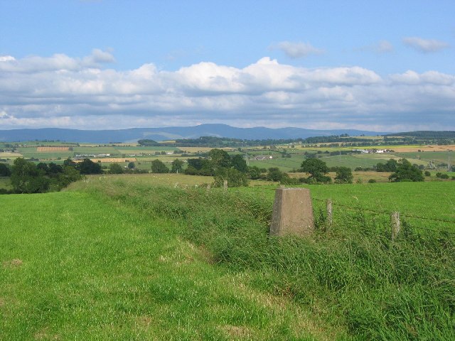
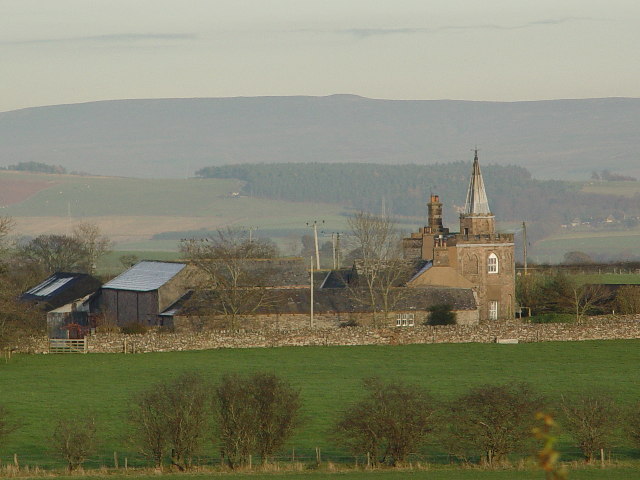
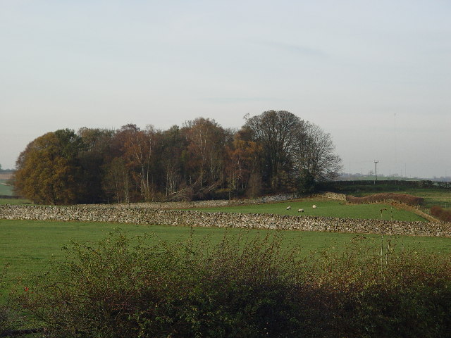
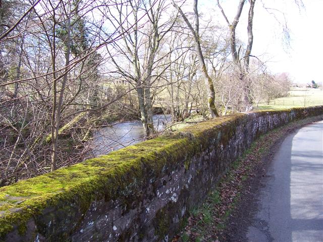
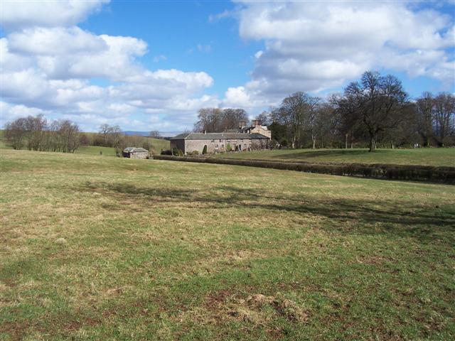
Birkmere Wood, located in Cumberland, England, is a sprawling forest that covers an area of approximately 500 acres. The wood is situated on the outskirts of a small village and is a popular destination for locals and tourists alike.
The forest is predominantly made up of oak, beech, and ash trees, which create a lush and dense canopy overhead. The woodland floor is covered in a variety of flora, including bluebells, primroses, and ferns, adding to the natural beauty of the area. In the summer months, the forest comes alive with the songs of numerous bird species, including woodpeckers, nuthatches, and robins.
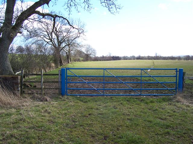
Birkmere Wood is known for its well-maintained walking trails, which wind through the forest and offer visitors the chance to explore its diverse ecosystem. These trails vary in difficulty, catering to both casual strollers and avid hikers. Along the way, there are several designated picnic areas, providing a perfect spot for visitors to take a break and enjoy the peaceful surroundings.
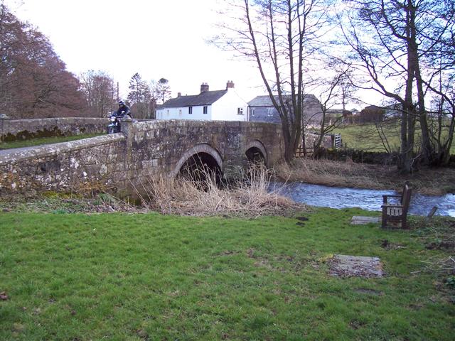
Wildlife enthusiasts are often drawn to Birkmere Wood due to the abundance of wildlife that call the forest home. Deer, foxes, and squirrels can frequently be spotted among the trees, while the nearby river attracts otters and various waterfowl species.
The forest is open to the public year-round, and entry is free. Local authorities have made efforts to preserve the natural habitat of Birkmere Wood, ensuring that it remains a haven for both nature lovers and those seeking a tranquil escape in the heart of Cumberland's countryside.
If you have any feedback on the listing, please let us know in the comments section below.
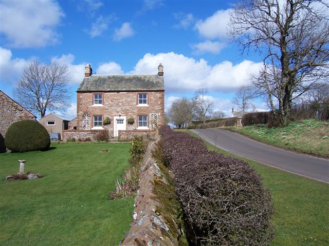
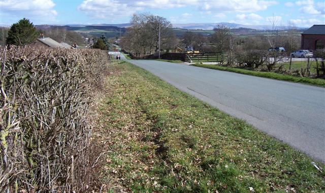
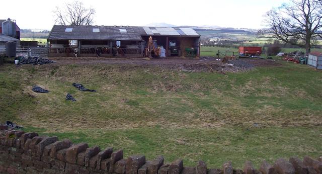
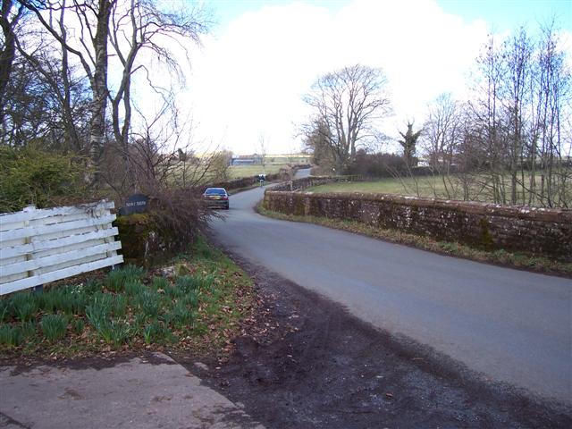
Birkmere Wood Images
Images are sourced within 2km of 54.682947/-2.8344088 or Grid Reference NY4632. Thanks to Geograph Open Source API. All images are credited.
Birkmere Wood is located at Grid Ref: NY4632 (Lat: 54.682947, Lng: -2.8344088)
Administrative County: Cumbria
District: Eden
Police Authority: Cumbria
What 3 Words
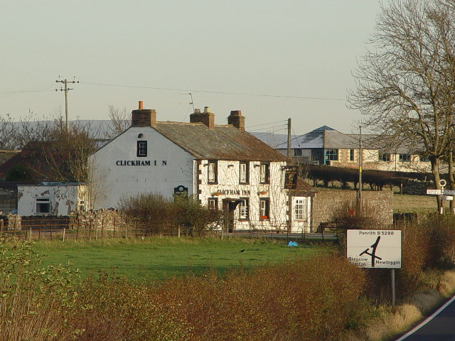
///marine.deaf.under. Near Penrith, Cumbria
Nearby Locations
Related Wikis

Laithes
Laithes is a hamlet in the civil parish of Skelton, in the English county of Cumbria. It belongs to Eden District. Laithes's region is North West. Height...

Catterlen
Catterlen is a small village and civil parish 3 miles (4.8 km) north west of Penrith, Cumbria. At the 2001 census the civil parish had a population of...

Newton Reigny
Newton Reigny is a village and former civil parish, now in the parish of Catterlen, in the Eden District, in the English county of Cumbria, near the town...

Blencow railway station
Blencow railway station was situated on the Cockermouth, Keswick and Penrith Railway between Penrith and Cockermouth in Cumberland (now in Cumbria), England...
Blencow
Blencow or Blencowe is a small village near Penrith, Cumbria, England. It is divided by the River Petteril into Great Blencow to the south and Little Blencow...

Penrith Rural District
Penrith was a rural district within the administrative county of Cumberland, England that existed from 1894 to 1974 with slight boundary changes in 1934...

Greystoke, Cumbria
Greystoke is a village and civil parish on the edge of the Lake District National Park in Cumbria, England, about 4 miles (6.4 km) west of Penrith. At...
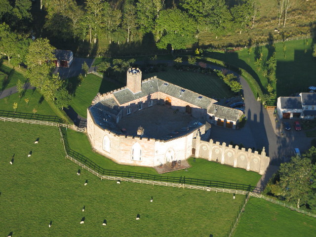
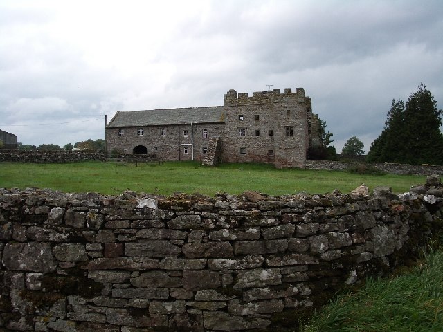
Johnby Hall
Johnby Hall is a fortified manor house near Greystoke, Cumbria. It was built in 1583, incorporating the fabric of a medieval tower house, and has been...
Nearby Amenities
Located within 500m of 54.682947,-2.8344088Have you been to Birkmere Wood?
Leave your review of Birkmere Wood below (or comments, questions and feedback).