Crook's Plantation
Wood, Forest in Lancashire Fylde
England
Crook's Plantation

Crook's Plantation is a picturesque woodland area located in the county of Lancashire, England. Spanning over a vast area, the plantation is known for its dense forest cover and diverse range of tree species. The plantation is situated near the town of Crook, adding to its charm and accessibility.
The woodland is characterized by its lush greenery, with towering trees providing a sanctuary for various flora and fauna. The plantation predominantly consists of deciduous trees, including oak, beech, and birch, which contribute to the vibrant and ever-changing foliage throughout the year. This natural habitat attracts numerous bird species, making it a popular spot for birdwatching enthusiasts.
Crook's Plantation offers a tranquil escape, with well-maintained paths winding through the woods, allowing visitors to explore the beauty of the area at their own pace. The paths are suitable for both walkers and cyclists, offering a variety of routes catering to different levels of fitness and interests.
In addition to its natural beauty, the plantation offers a range of amenities for visitors. There are picnic areas scattered throughout the woodland, providing the perfect setting for a leisurely lunch amidst nature. The plantation also boasts a visitor center, where guests can learn about the history and significance of the woodland, as well as obtain information about guided tours and events.
Crook's Plantation is a cherished natural gem in Lancashire, attracting locals and tourists alike with its breathtaking beauty and immersive experience in nature. Whether one seeks solitude, adventure, or simply a connection with the natural world, this woodland sanctuary is a must-visit destination.
If you have any feedback on the listing, please let us know in the comments section below.
Crook's Plantation Images
Images are sourced within 2km of 53.777666/-2.8221378 or Grid Reference SD4531. Thanks to Geograph Open Source API. All images are credited.


Crook's Plantation is located at Grid Ref: SD4531 (Lat: 53.777666, Lng: -2.8221378)
Administrative County: Lancashire
District: Fylde
Police Authority: Lancashire
What 3 Words
///palms.takes.comical. Near Kirkham, Lancashire
Nearby Locations
Related Wikis

St John the Evangelist's Church, Clifton
St John the Evangelist's Church, also known as Lund Parish Church, is located on an isolated site near the village of Clifton, Lancashire, England. It...

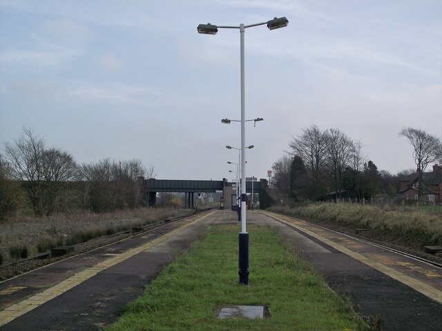
Salwick railway station
Salwick railway station is situated on the Preston-to-Blackpool railway line in England, 5+1⁄4 miles (8.4 km) west of Preston, and is managed by Northern...
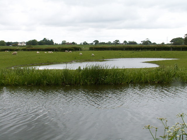
Salwick
Salwick is a village between Kirkham and Preston in Lancashire, England. The village is largely rural and is an extension of the smaller Clifton to the...
Springfields
Springfields is a nuclear fuel production installation in Salwick, near Preston in Lancashire, England (grid reference SD468315). The site is currently...
Nearby Amenities
Located within 500m of 53.777666,-2.8221378Have you been to Crook's Plantation?
Leave your review of Crook's Plantation below (or comments, questions and feedback).