Burrell Wood

Wood, Forest in Herefordshire

England

Burrell Wood

Farm track near Richard's Castle In valleys of springs of rivers,
           By Onny and Teme and Clun,
          The country for easy livers,
           The quietest under the sun.

Excerpt from 'A Shropshire Lad' by AE Housman
Farm track near Richard's Castle Credit: Jeremy Bolwell

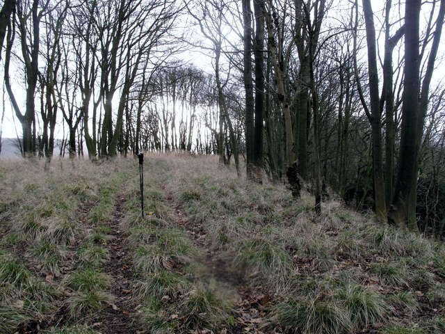
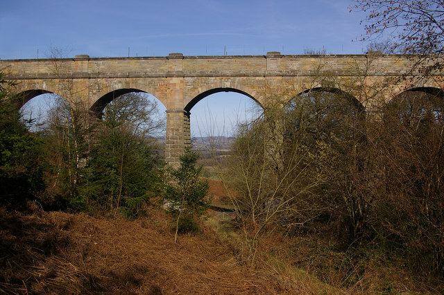
Burrell Wood is a picturesque woodland located in the county of Herefordshire, England. Situated in the heart of the Herefordshire countryside, this enchanting forest spans over a vast area, offering visitors a unique and immersive natural experience.

The wood is known for its diverse range of tree species, including oak, beech, and birch, creating a rich and vibrant ecosystem. The lush greenery provides a haven for numerous wildlife species, such as deer, squirrels, and various bird species, making it a popular spot for nature enthusiasts and wildlife photographers.

Tranquility is one of the defining features of Burrell Wood, as visitors can wander along its well-maintained pathways, surrounded by the soothing sounds of rustling leaves and chirping birds. The wood offers a serene escape from the hustle and bustle of daily life, allowing individuals to connect with nature and recharge.

The wood also holds historical significance, with remnants of ancient settlements and archaeological sites scattered throughout. These remnants serve as a reminder of the area's rich cultural heritage and provide an opportunity for history enthusiasts to explore the past.

Burrell Wood is easily accessible, with ample parking facilities and well-marked trails, ensuring a hassle-free visit for all. Whether it's a peaceful stroll through the woodland, a picnic amidst the trees, or a bird-watching adventure, Burrell Wood offers a tranquil and captivating experience for nature lovers of all ages.

If you have any feedback on the listing, please let us know in the comments section below.

Burrell Wood Images

Images are sourced within 2km of 52.331391/-2.7955657 or Grid Reference SO4570. Thanks to Geograph Open Source API. All images are credited.

Farm track near Richard's Castle In valleys of springs of rivers,
           By Onny and Teme and Clun,
          The country for easy livers,
           The quietest under the sun.

Excerpt from 'A Shropshire Lad' by AE Housman
Farm track near Richard's Castle
In valleys of springs of rivers, By Onny and Teme and Clun, The country for easy livers, The quietest under the sun. Excerpt from 'A Shropshire Lad' by AE Housman
Gatley Hill Parked at entrance to forest to SW and followed over grown tracks to gain summit ridge early so gentle ridge walk from there. Dry and occasionally windy.
Name: Gatley Hill
Hill number: 5363
Height: 338m / 1109ft
Area: 38B: West Gloucestershire, Hereford & Worcester
Class: Hu
Grid ref: SO446693 (est)
Drop: 110m
Col: 228m  SO462698
Gatley Hill
Parked at entrance to forest to SW and followed over grown tracks to gain summit ridge early so gentle ridge walk from there. Dry and occasionally windy. Name: Gatley Hill Hill number: 5363 Height: 338m / 1109ft Area: 38B: West Gloucestershire, Hereford & Worcester Class: Hu Grid ref: SO446693 (est) Drop: 110m Col: 228m SO462698
The Goggin A road follows a scenic valley up the dip side of the big limestone ridge. The scarp side, Killhorse Lane is not so forgiving.
The Goggin
A road follows a scenic valley up the dip side of the big limestone ridge. The scarp side, Killhorse Lane is not so forgiving.
The Goggin View uphill.  There is a string of small cottages along the road as it ascends the pass.
The Goggin
View uphill. There is a string of small cottages along the road as it ascends the pass.
The Goggin Goggin Copse - off the beaten track
The Goggin
Goggin Copse - off the beaten track
Valley to the east of High Cullis This was taken looking west towards Oldfield Farm from about SO469696
Valley to the east of High Cullis
This was taken looking west towards Oldfield Farm from about SO469696
Oxleasow Coppice Gatley Park Estate on the great limestone ridge southwest of Ludlow. Note animal track heading from the wood...
Oxleasow Coppice
Gatley Park Estate on the great limestone ridge southwest of Ludlow. Note animal track heading from the wood...
Grazing, Leinthall Starkes Cattle grazing beneath woodland on the hill above Leinthall Starkes.
Grazing, Leinthall Starkes
Cattle grazing beneath woodland on the hill above Leinthall Starkes.
Footpath To Leinthall Starkes Church
Above Leinthall Earls Limestone scenery, a dry valley in hills made of a rock similar to chalk, but much older. The folly above Wylde has a great view down the valley towards the hills of Radnorshire.
Above Leinthall Earls
Limestone scenery, a dry valley in hills made of a rock similar to chalk, but much older. The folly above Wylde has a great view down the valley towards the hills of Radnorshire.
Leinthall Starkes
Leinthall Starkes
Church gates
Church gates
Lane east of Leinthall Starkes Looking east to Petchfield Copse on the hill.
Lane east of Leinthall Starkes
Looking east to Petchfield Copse on the hill.
Lane near Leinthall Starkes church Looking east to Petchfield Copse.
Lane near Leinthall Starkes church
Looking east to Petchfield Copse.
Oldfield Coppice Thinned woodland near Leinthall Earls.
Oldfield Coppice
Thinned woodland near Leinthall Earls.
Logs, Dionscourt Evidence of recent thinning.
Logs, Dionscourt
Evidence of recent thinning.
Woodlands A farm off Killhorse Lane.
Woodlands
A farm off Killhorse Lane.
Woodlands A farm off Killhorse Lane.
Woodlands
A farm off Killhorse Lane.
Show me another place!

Burrell Wood is located at Grid Ref: SO4570 (Lat: 52.331391, Lng: -2.7955657)

Unitary Authority: County of Herefordshire

Police Authority: West Mercia

What 3 Words

///youths.overpaid.noting. Near Elton, Herefordshire

Related Wikis

Elton, Herefordshire

Elton is a hamlet and civil parish in the far north of Herefordshire. It is situated on the Wigmore to Ludlow road. The village is northeast of Leinthall...

Pipe Aston

Pipe Aston is a small village and civil parish in the far north of Herefordshire, close to the border with Shropshire. It has a population of about 24...

Burrington, Herefordshire

Burrington is a small village and civil parish in the far north of Herefordshire, England. It is part of the Leintwardine group of parishes and shares...
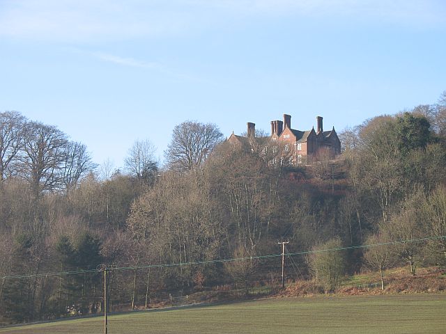
Gatley Park

Gatley Park is an English 17th-century park and country house lying near Leinthall Earls, Herefordshire. Both the park and the house are separately listed...

Leinthall Starkes

Leinthall Starkes is a small village and civil parish in north-western Herefordshire, England. It is about 7 miles south-west of Ludlow, and near the larger...

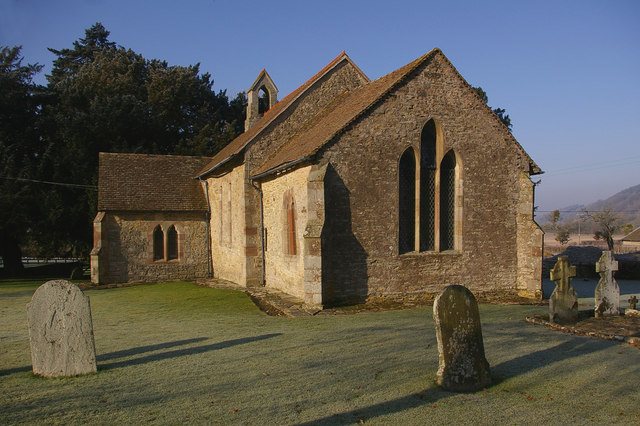
St Bartholomew's Church, Richard's Castle

St Bartholomew's Church is a redundant Anglican church in the village of Richard's Castle, Herefordshire, England. It is recorded in the National Heritage...

High Vinnalls

High Vinnalls is a hill in the English county of Herefordshire, though commonly considered a member of the Shropshire Hills. It is located in the parish...

Elan aqueduct

The Elan aqueduct crosses Wales and the Midlands of England, running eastwards from the Elan Valley Reservoirs in Mid Wales to Birmingham's Frankley Reservoir...

Nearby Amenities

Located within 500m of 52.331391,-2.7955657
Bus Stop
Church
Bus: yes
Naptan AtcoCode: 2090A141200
Naptan Bearing: SW
Naptan BusStopType: CUS
Naptan CommonName: Church
Naptan Indicator: opp
Naptan Landmark: Church
Naptan NaptanCode: heragdmj
Naptan Street: N/K
Naptan Verified: no
Public Transport: platform
Source: naptan_import
Lat/Long: 52.3335795/-2.7989301
Bus Stop
Church
Bus: yes
Naptan AtcoCode: 2090A18919
Naptan Bearing: NE
Naptan BusStopType: CUS
Naptan CommonName: Church
Naptan Indicator: adj
Naptan Landmark: Church
Naptan NaptanCode: herajgtw
Naptan Street: N/K
Naptan Verified: no
Public Transport: platform
Source: naptan_import
Lat/Long: 52.3336143/-2.7990921
Elton
Place: hamlet
Wikidata: Q5367828
Lat/Long: 52.3341883/-2.7981813
Post Box
Letters Only: yes
Post Box Design: hovis
Post Box Mounting: wall
Post Box Type: lamp
Ref: SY8 26
Royal Cypher: VR
Royal Cypher Wikidata: Q33102356
Lat/Long: 52.3331858/-2.7992657
Bench
Source: survey
Lat/Long: 52.3342443/-2.7918658
Power: pole
Source: bing
Lat/Long: 52.3297991/-2.8023291
Power: pole
Source: bing
Lat/Long: 52.3297614/-2.80065
The data included in this document is from www.openstreetmap.org. The data is made available under ODbL.

Have you been to Burrell Wood?

Leave your review of Burrell Wood below (or comments, questions and feedback).