Coldfair Green

Settlement in Suffolk East Suffolk

England

Coldfair Green

Farmland near Knodishall The light, sandy soil typical of this part of Suffolk can be seen clearly in this field; the electricity pylons in the distance are two grid squares away.
Farmland near Knodishall Credit: David Squire

Coldfair Green is a small village located in the county of Suffolk, England. Situated approximately 3 miles south of the market town of Framlingham, it falls within the East Suffolk district. The village is nestled amidst picturesque countryside, boasting beautiful landscapes and a peaceful atmosphere.

With a population of around 200 residents, Coldfair Green is known for its tight-knit community and friendly locals. The village primarily consists of charming cottages and traditional houses, giving it a quintessential English countryside feel. The architecture reflects the area's rich history, with some properties dating back to the 17th century.

Despite its small size, Coldfair Green offers a range of amenities to cater to the needs of its residents. These include a village hall, a local pub, and a post office. The village hall serves as a hub for community activities, hosting events such as craft fairs, social gatherings, and fitness classes. The pub, a focal point of village life, provides a cozy setting for locals and visitors to enjoy a drink or a meal.

Surrounded by expansive fields and woodlands, Coldfair Green offers ample opportunities for outdoor pursuits. The nearby Framlingham Castle is a popular destination for history enthusiasts, offering a glimpse into the area's past. The village is also well-connected to nearby towns and cities, with good transport links making it easily accessible.

Overall, Coldfair Green is a tranquil and picturesque village in Suffolk, offering a close-knit community, beautiful countryside, and a range of amenities for its residents to enjoy.

If you have any feedback on the listing, please let us know in the comments section below.

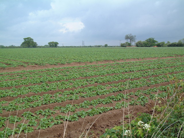
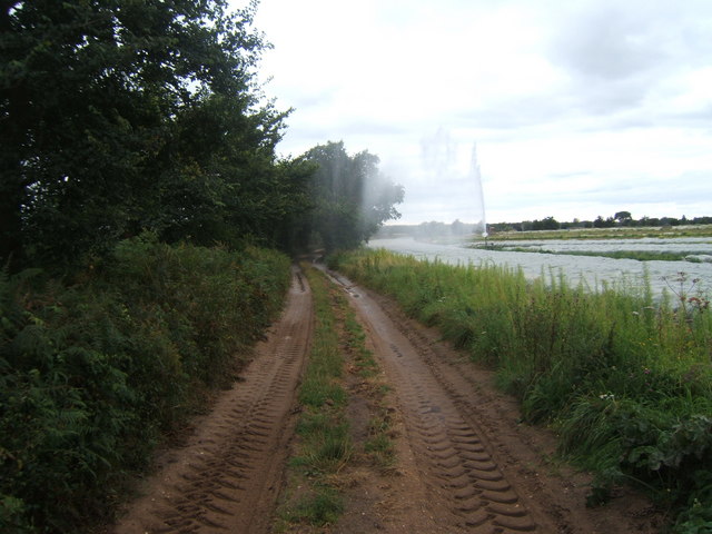
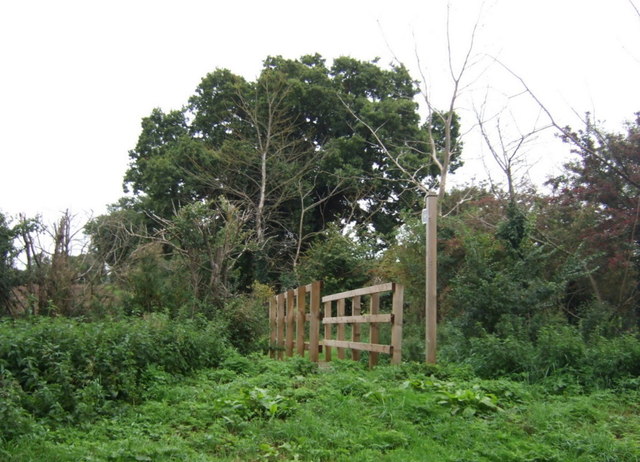
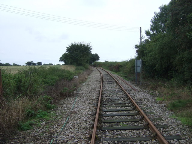
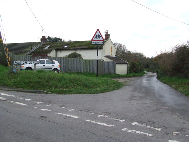
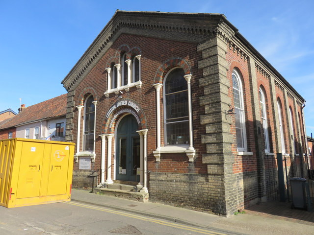
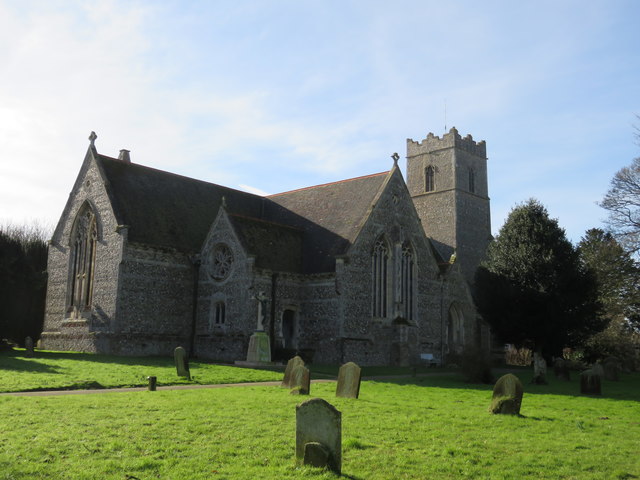
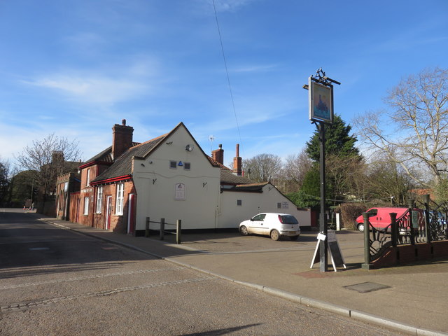
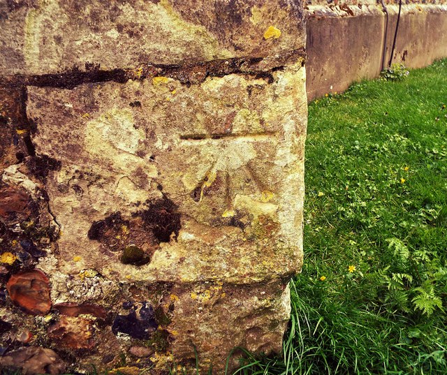
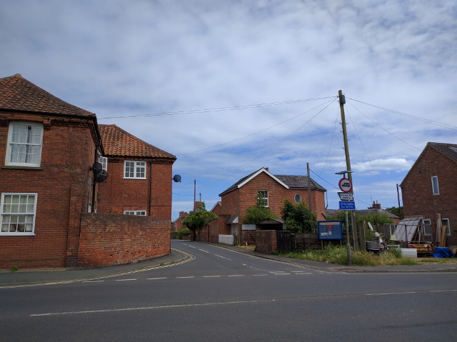
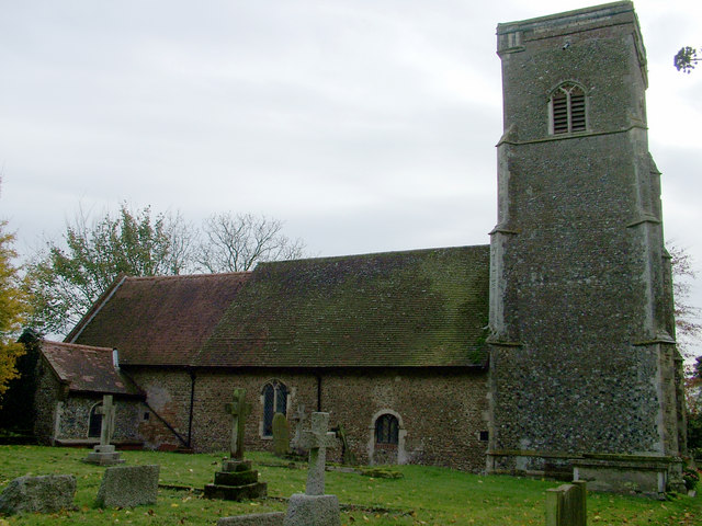
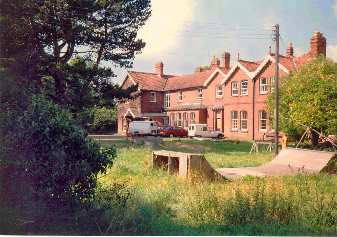
Coldfair Green Images

Images are sourced within 2km of 52.195871/1.55943 or Grid Reference TM4361. Thanks to Geograph Open Source API. All images are credited.

Farmland near Knodishall The light, sandy soil typical of this part of Suffolk can be seen clearly in this field; the electricity pylons in the distance are two grid squares away.
Farmland near Knodishall
The light, sandy soil typical of this part of Suffolk can be seen clearly in this field; the electricity pylons in the distance are two grid squares away.
Radio mast by Sandlings Walk
Track leading off Sandlings Walk by Round Covert Sandlings Walk runs left to right across the picture.
Track leading off Sandlings Walk by Round Covert
Sandlings Walk runs left to right across the picture.
Farm track and footpath near Ten Acre covert It needed careful timing to dodge the irrigation spray!
Farm track and footpath near Ten Acre covert
It needed careful timing to dodge the irrigation spray!
Footpath off Saxmundham Road (B1119)
Field off Saxmundham Road (B1119)
Saxmundham Road (B1119)  Heading East towards Leiston.
Saxmundham Road (B1119)
Heading East towards Leiston.
Railway heading east from Saxmundham Road Level Crossing The former branch line to Aldeburgh, later used for the transfer of materials to the Sizewell Nuclear Power Stations, near where it now terminates.
Railway heading east from Saxmundham Road Level Crossing
The former branch line to Aldeburgh, later used for the transfer of materials to the Sizewell Nuclear Power Stations, near where it now terminates.
Post Office Road Post Office Road Coldfair Green, Suffolk.
Post Office Road
Post Office Road Coldfair Green, Suffolk.
Leiston United Church (Methodist/United Reformed Church)
St Margaret of Antioch Church, Leiston The church designed by Edward Buckton Lamb and was opened on August 31st 1854, by Bishop Blomfield of London, who had been born in Suffolk. It is on the site of an older church and retains the 14th century tower.
St Margaret of Antioch Church, Leiston
The church designed by Edward Buckton Lamb and was opened on August 31st 1854, by Bishop Blomfield of London, who had been born in Suffolk. It is on the site of an older church and retains the 14th century tower.
The Engineers Arms, Leiston
Cut Mark Leiston St Margarets Church Cut Mark Leiston St Margarets Church,Tower NW buttress, NW face.
Cut Mark Leiston St Margarets Church
Cut Mark Leiston St Margarets Church,Tower NW buttress, NW face.
Buller Road joining Station Road, Leiston
Cut Mark Leiston St Margarets Church Cut Mark Leiston St Margarets Church, NW tower buttress.
Cut Mark Leiston St Margarets Church
Cut Mark Leiston St Margarets Church, NW tower buttress.
Cut Mark Leiston 78 Waterloo Avenue Cut Mark Leiston 78 Waterloo Avenue; E face, SE angle.
Cut Mark Leiston 78 Waterloo Avenue
Cut Mark Leiston 78 Waterloo Avenue; E face, SE angle.
Cut Mark Leiston 1 High Street Cut Mark Leiston 1 High Street, SE face S angle.
Cut Mark Leiston 1 High Street
Cut Mark Leiston 1 High Street, SE face S angle.
Leiston - The Long Shop Museum
Show me another place!

Coldfair Green is located at Grid Ref: TM4361 (Lat: 52.195871, Lng: 1.55943)

Administrative County: Suffolk

District: East Suffolk

Police Authority: Suffolk

What 3 Words

///stoppage.along.overgrown. Near Leiston, Suffolk

Nearby Locations

Coldfair Green

Related Wikis

Knodishall

Knodishall, a village in Suffolk, England, lies 3.5 miles (6 km) south-east of Saxmundham, 1 mile (2 km) south-west of Leiston, and 3 miles from the coast...

Leiston F.C.

Leiston Football Club is a football club based in Leiston, Suffolk, England. They are currently members of the Southern League Premier Division Central...

Aldringham

Aldringham is a village in the Blything Hundred of Suffolk, England. The village is located 1 mile (1½ km) south of Leiston and 3 miles (4½ km) northwest...

Long Shop Museum

The Long Shop Museum is an industrial heritage museum in the town of Leiston in the English county of Suffolk. The museum features the history of Richard...

Richard Garrett & Sons

Richard Garrett & Sons was a manufacturer of agricultural machinery, steam engines and trolleybuses. Their factory was Leiston Works, in Leiston, Suffolk...

Leiston

Leiston ( LAY-stən) is an town in the East Suffolk district of Suffolk, England. It is close to Saxmundham and Aldeburgh, 21 miles (34 km) north-east of...

Leiston railway station

Leiston railway station was a station in Leiston, Suffolk. It was opened in 1859 by the East Suffolk Railway and later became part of the Great Eastern...

Summerhill School

Summerhill School is an independent (i.e. fee-charging) boarding school in Leiston, Suffolk, England. It was founded in 1921 by Alexander Sutherland Neill...

Nearby Amenities

Located within 500m of 52.195871,1.55943
Coldfair Green
Place: village
Wikidata: Q28064973
Lat/Long: 52.1934854/1.5606711
Barrier: bollard
Bollard: solid
Lat/Long: 52.1941888/1.5595665
Bus Stop
Butchers Arms
Naptan AtcoCode: 390060176
Naptan Bearing: NE
Naptan CommonName: Butchers Arms
Naptan Indicator: adj
Naptan Landmark: Butchers Arms
Naptan NaptanCode: sufgmwgj
Naptan Street: B1069
Naptan Verified: no
Source: naptan_import
Lat/Long: 52.1930739/1.5613763
Bus Stop
Butchers Arms
Naptan AtcoCode: 390060177
Naptan Bearing: SW
Naptan CommonName: Butchers Arms
Naptan Indicator: opp
Naptan Landmark: Butchers Arms
Naptan NaptanCode: sufgmwgm
Naptan Street: B1069
Naptan Verified: no
Source: naptan_import
Lat/Long: 52.1930694/1.561363
Power: tower
Lat/Long: 52.1964867/1.5560031
Power: tower
Lat/Long: 52.1969068/1.5560567
Power: tower
Lat/Long: 52.1958011/1.5613863
Power: tower
Lat/Long: 52.1962163/1.5614533
Post Box
Collection Times: Mo-Fr 16:00; Sa 07:30
Post Box Type: lamp
Ref: IP17 4669
Royal Cypher: EIIR
Royal Cypher Wikidata: Q33102113
Lat/Long: 52.1935799/1.5628561
Post Box
Collection Times: Mo-Sa 09:00
Post Box Type: lamp
Ref: IP17 4687
Royal Cypher: EIIR
Royal Cypher Wikidata: Q33102113
Lat/Long: 52.1951188/1.5573885
Post Box
Collection Times: Mo-Sa 09:00
Post Box Type: lamp
Ref: IP17 4647
Royal Cypher: EIIR
Royal Cypher Wikidata: Q33102113
Lat/Long: 52.1927668/1.5586276
Barrier: yes
Lat/Long: 52.19358/1.5623716
Thimble Cottage & Suffolk Cottage
Guest House: hotel
Phone: +44 1728 635040
Tourism: guest_house
Lat/Long: 52.1925899/1.5612303
Elmwood Nurseries
Phone: +44 1728 830797
Shop: farm
Lat/Long: 52.1952285/1.5640493
Power: pole
Lat/Long: 52.1991542/1.5560862
Power: pole
Lat/Long: 52.1982976/1.5560138
Power: pole
Lat/Long: 52.197303/1.5552494
Location Transition: yes
Power: pole
Lat/Long: 52.1962549/1.5544286
Power: pole
Lat/Long: 52.1956803/1.5528059
Power: pole
Lat/Long: 52.1952462/1.5548041
Power: pole
Lat/Long: 52.1949117/1.5547827
Power: pole
Lat/Long: 52.1955586/1.5530419
Power: pole
Lat/Long: 52.195169/1.5547881
Defibrillator
Defibrillator Location: On the front wall of the garage, to left of the service bay.
Emergency: defibrillator
Indoor: no
Ref GB The Circuit: 0F42B7AF-6205-40B1-9729-AD6700B5BF1F
Lat/Long: 52.1937037/1.5628308
The data included in this document is from www.openstreetmap.org. The data is made available under ODbL.

Have you been to Coldfair Green?

Leave your review of Coldfair Green below (or comments, questions and feedback).