Bank Wood
Wood, Forest in Cumberland Eden
England
Bank Wood

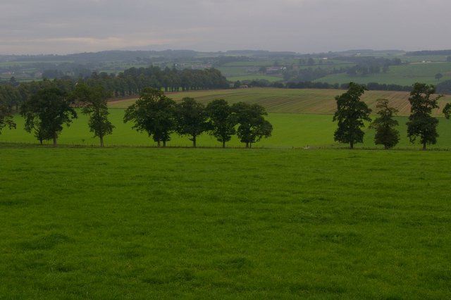
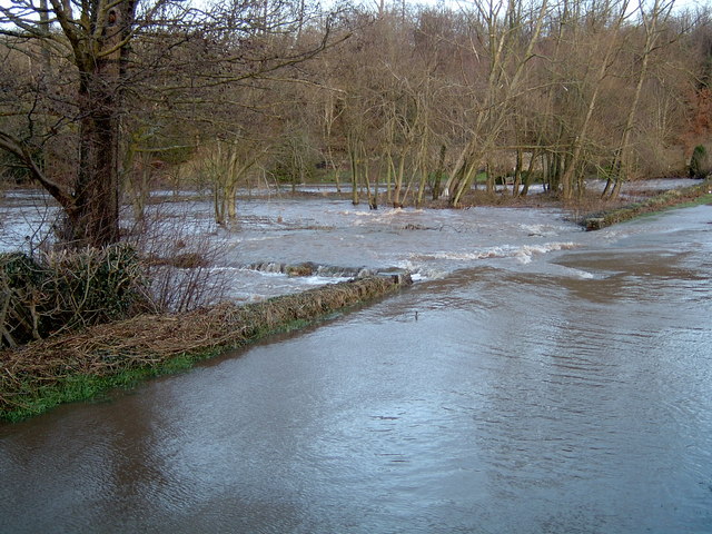
Bank Wood is a picturesque forest located in the county of Cumberland in England. Covering an area of approximately 500 acres, this woodland is a haven for nature enthusiasts and those seeking tranquility amidst the beauty of nature. The forest is situated near the town of Carlisle and is easily accessible by road.
Bank Wood is a diverse and thriving ecosystem, boasting a variety of tree species including oak, beech, birch, and pine. The dense foliage provides a habitat for a wide range of wildlife, including deer, foxes, squirrels, and numerous bird species. Birdwatchers flock to the forest to catch glimpses of species such as woodpeckers, owls, and thrushes.
The forest is crisscrossed by a network of well-maintained walking trails, making it an ideal destination for hikers and nature lovers. These trails offer visitors the opportunity to explore the woodland at their own pace, taking in the sights and sounds of the natural surroundings. Along the way, there are several designated picnic areas where visitors can pause and enjoy a meal amidst the peaceful ambiance.
Bank Wood also attracts visitors with its rich history. This forest has been a popular recreational area for centuries, with evidence of human activity dating back to ancient times. Archaeological finds in the area include remnants of Iron Age settlements and Roman artifacts.
In conclusion, Bank Wood in Cumberland is a stunning forest that offers a wonderful experience for nature enthusiasts and history buffs alike. With its diverse flora and fauna, well-maintained trails, and rich history, it is a must-visit destination for those seeking a peaceful retreat in the heart of nature.
If you have any feedback on the listing, please let us know in the comments section below.
Bank Wood Images
Images are sourced within 2km of 54.81299/-2.8533639 or Grid Reference NY4546. Thanks to Geograph Open Source API. All images are credited.


Bank Wood is located at Grid Ref: NY4546 (Lat: 54.81299, Lng: -2.8533639)
Administrative County: Cumbria
District: Eden
Police Authority: Cumbria
What 3 Words
///apart.sulked.retraced. Near Wetheral, Cumbria
Nearby Locations
Related Wikis

Low Hesket
Low Hesket is a village in the English county of Cumbria. Low Hesket is on the A6 road 8+1⁄2 miles (13.7 km) south of Carlisle. This is a former Roman...

Southwaite
Southwaite is a small village in the parish of Hesket, in the Eden District, in the English county of Cumbria. == Location == It is located on a minor...
Southwaite railway station
Southwaite railway station in Hesket parish, was situated on the Lancaster and Carlisle Railway (the West Coast Main Line) between Carlisle and Penrith...
Southwaite Services
Southwaite services is a motorway service station, between junctions 41 and 42 of the M6 motorway near Southwaite, Cumbria, England. It is about 7 miles...
Wreay railway station
Wreay railway station in St Cuthbert Without parish, was situated on the Lancaster and Carlisle Railway (the West Coast Main Line) between Carlisle and...
Wreay
Wreay ( REE-ə) is a village and former civil parish, now in the parish of St Cuthbert Without, in the Cumberland district, in the ceremonial county of...
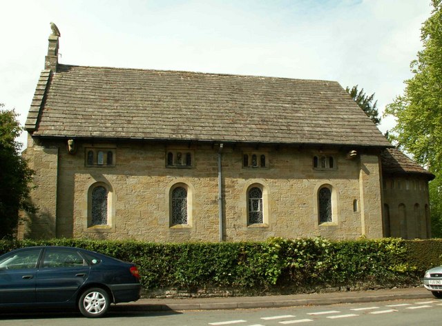
St Mary's Church, Wreay
St Mary's Church, Wreay is the Church of England parish church of Wreay in Cumbria. It was designed by Sara Losh in about 1835 and built between 1840 and...
Aiketgate
Aiketgate is a small village in the English county of Cumbria. It is within the civil parish of Hesket. Development of wind turbines in the Eden Valley...
Nearby Amenities
Located within 500m of 54.81299,-2.8533639Have you been to Bank Wood?
Leave your review of Bank Wood below (or comments, questions and feedback).