James Porter's Wood
Wood, Forest in Lancashire West Lancashire
England
James Porter's Wood
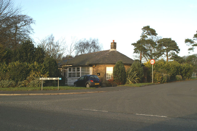
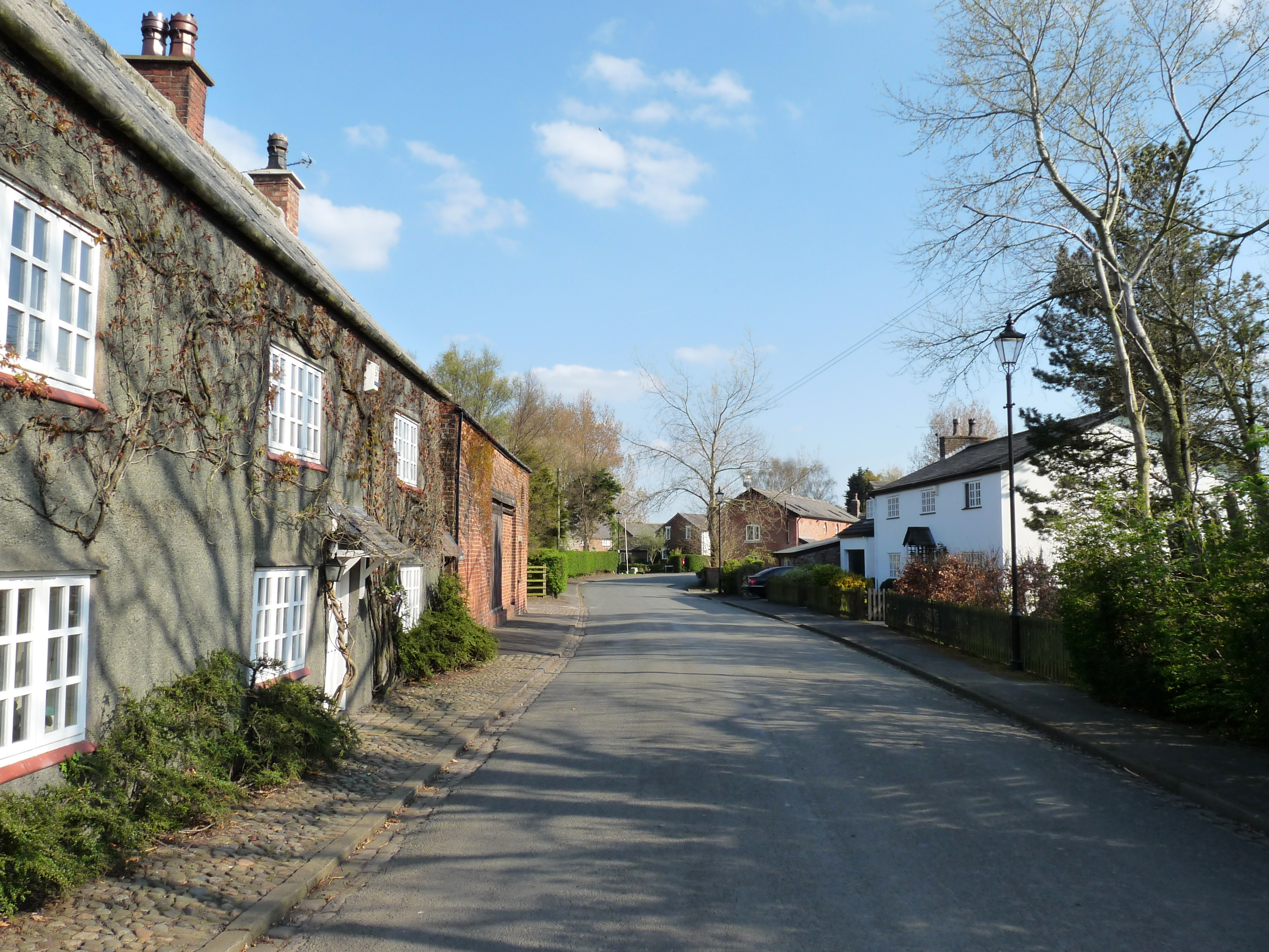
James Porter's Wood is a small village located in the county of Lancashire, England. Situated within the larger area known as Wood, the village is surrounded by a picturesque forest, which gives it its distinctive name. With a population of approximately 500 residents, James Porter's Wood is known for its close-knit community and tranquil atmosphere.
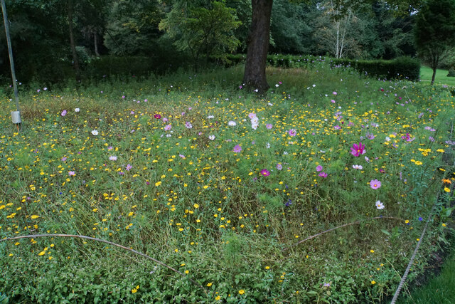
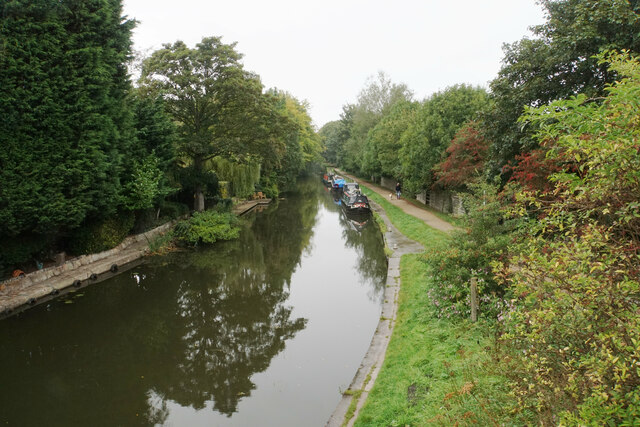
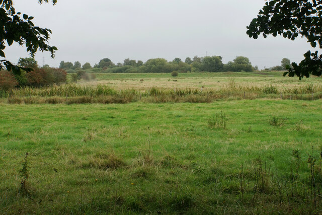
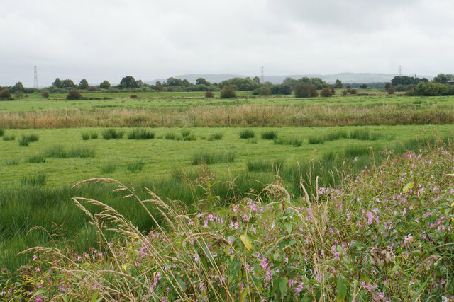
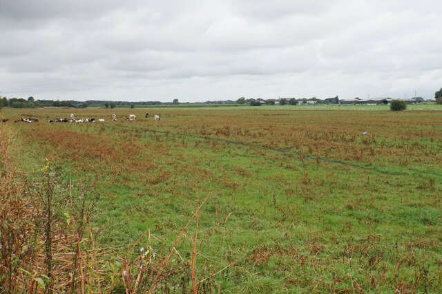
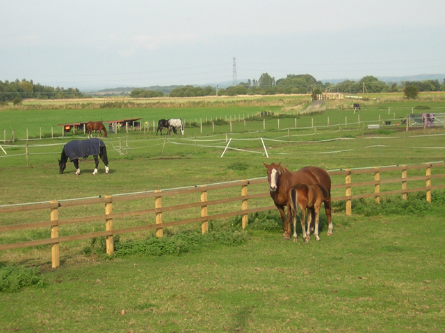
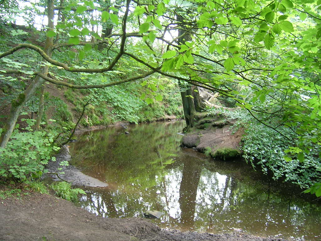
The village is characterized by its charming rural landscape, characterized by lush greenery and rolling hills. The forest that envelops the village provides a beautiful backdrop and offers residents and visitors a peaceful retreat from the hustle and bustle of urban life. The woodland is home to a diverse range of flora and fauna, and nature enthusiasts can enjoy exploring the numerous walking trails and observing the local wildlife.
Despite its small size, James Porter's Wood is well-served by essential amenities. The village boasts a primary school, a community center, and a local pub, which serves as a social hub for residents. Additionally, there are a few shops and businesses catering to the daily needs of the community.
The village also benefits from its proximity to larger towns and cities. The town of Wood is just a short drive away, offering a wider range of services and facilities. Nearby attractions include historical landmarks, such as Wood Castle, and recreational areas, including Wood Park, providing opportunities for leisure activities and family outings.
In summary, James Porter's Wood is a charming village nestled within a forested landscape in Lancashire. Its peaceful ambiance, strong community spirit, and natural beauty make it an ideal place for those seeking a tranquil and close-knit community.
If you have any feedback on the listing, please let us know in the comments section below.
James Porter's Wood Images
Images are sourced within 2km of 53.639694/-2.8312494 or Grid Reference SD4516. Thanks to Geograph Open Source API. All images are credited.

James Porter's Wood is located at Grid Ref: SD4516 (Lat: 53.639694, Lng: -2.8312494)
Administrative County: Lancashire
District: West Lancashire
Police Authority: Lancashire
What 3 Words
///anchors.stability.cheat. Near Rufford, Lancashire
Nearby Locations
Related Wikis

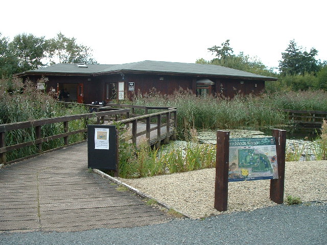
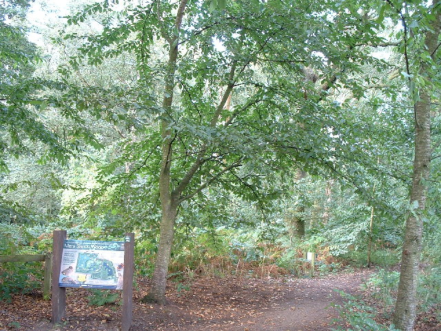
Mere Sands Wood
Mere Sands Wood is a 105 acres (42 ha) nature reserve between the villages of Holmeswood and Rufford in west Lancashire, England, managed by The Wildlife...

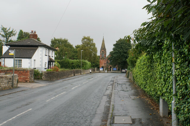
Rufford, Lancashire
Rufford is a village in West Lancashire, England, where the Leeds and Liverpool Canal, Liverpool, Ormskirk and Preston Railway, the A59 and the River Douglas...

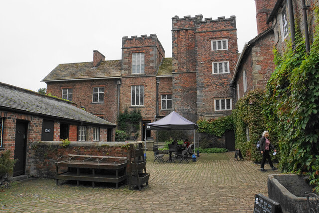
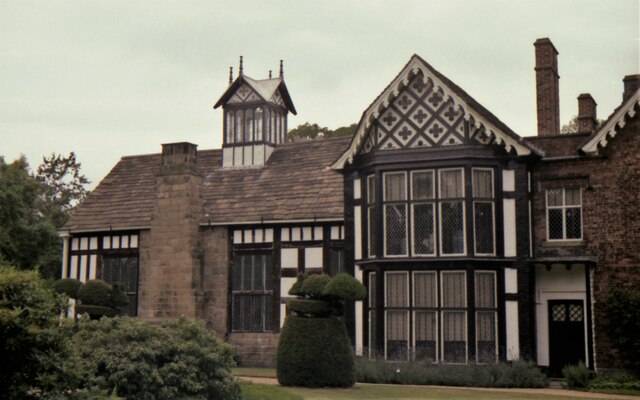
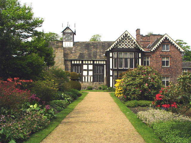
Rufford Old Hall
Rufford Old Hall is a National Trust property in Rufford, Lancashire, England. Built in about 1530 for Sir Robert Hesketh, only the Great Hall survives...

Rufford railway station
Rufford railway station, opened on 2 April 1849, serves the village of Rufford in Lancashire, England. The station is (9½ miles) south west of Preston...

Holmeswood
Holmeswood is a small agricultural village in West Lancashire, in the north-west of England. It lies just north of the Martin Mere Wetland Centre and...
Sollom
Sollom is a hamlet in the parish of Tarleton, in Lancashire, England. It lies south of Tarleton and north of Rufford on the A59 road, giving the village...

Tarlscough
Tarlscough () is a hamlet in the West Lancashire district, in the English county of Lancashire. It is roughly 1+3⁄4 miles (2.8 km) (by road) north of the...
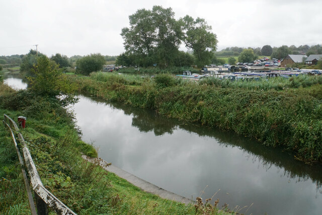
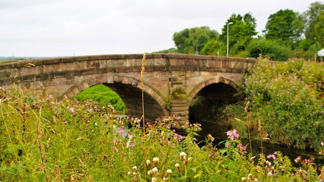
River Yarrow (Lancashire)
The River Yarrow is in Lancashire, with its source at an area called Will Narr at Hordern Stoops, along Spitlers Edge - the Chorley/Blackburn boundary...
Nearby Amenities
Located within 500m of 53.639694,-2.8312494Have you been to James Porter's Wood?
Leave your review of James Porter's Wood below (or comments, questions and feedback).