Rhode Island Wood
Wood, Forest in Cumberland Eden
England
Rhode Island Wood

Rhode Island Wood, Cumberland, also known as Wood Forest, is a picturesque woodland located in Cumberland, Rhode Island. Spread across a vast area, this forest is a natural haven of tranquility and beauty.
Rhode Island Wood is home to a diverse range of flora and fauna, making it an ideal destination for nature enthusiasts and hikers. The forest is predominantly composed of deciduous trees, including oak, maple, and beech, which create a vibrant display of colors during the autumn months. The forest floor is adorned with various wildflowers, adding to its natural allure.
The woodland is crisscrossed by a network of well-maintained hiking trails, allowing visitors to explore the forest's hidden gems. These trails cater to all levels of hikers, from beginners to experienced adventurers. As visitors meander through the forest, they can enjoy the soothing sounds of chirping birds and the rustling of leaves.
Rhode Island Wood is also home to a diverse array of wildlife. Lucky visitors may spot white-tailed deer, red foxes, and various species of birds such as blue jays and woodpeckers. The forest's peaceful and undisturbed environment provides a sanctuary for these animals.
The forest is open to the public year-round, allowing visitors to experience its beauty in all seasons. In the winter, the forest is transformed into a winter wonderland, with snow-covered trees and frozen streams.
Rhode Island Wood, Cumberland, is truly a hidden gem, offering a retreat from the hustle and bustle of everyday life. It invites visitors to connect with nature and appreciate the wonders of the woodland ecosystem.
If you have any feedback on the listing, please let us know in the comments section below.
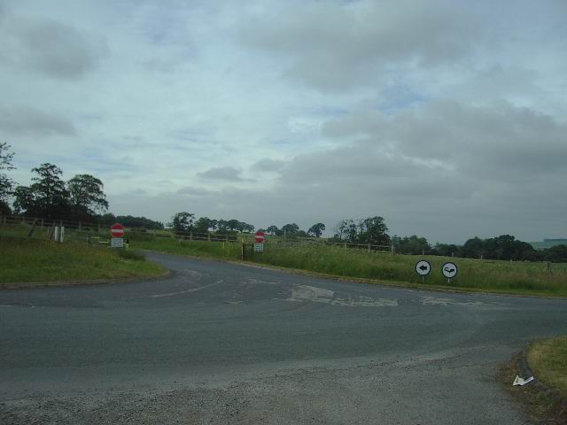
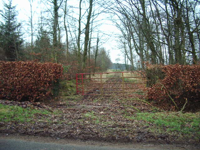
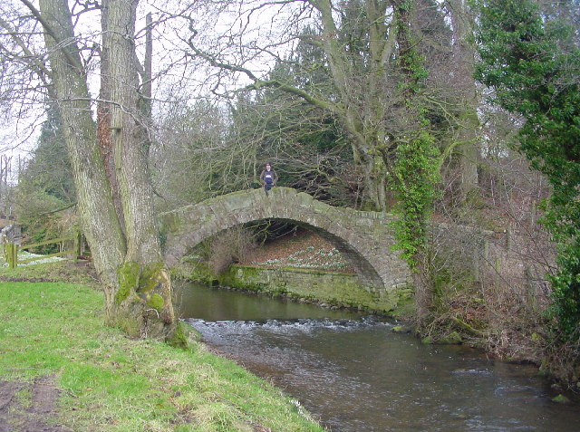
Rhode Island Wood Images
Images are sourced within 2km of 54.78275/-2.8609212 or Grid Reference NY4443. Thanks to Geograph Open Source API. All images are credited.


Rhode Island Wood is located at Grid Ref: NY4443 (Lat: 54.78275, Lng: -2.8609212)
Administrative County: Cumbria
District: Eden
Police Authority: Cumbria
What 3 Words
///attic.abandons.explains. Near Dalston, Cumbria
Nearby Locations
Related Wikis

Southwaite railway station
Southwaite railway station in Hesket parish, was situated on the Lancaster and Carlisle Railway (the West Coast Main Line) between Carlisle and Penrith...

Southwaite
Southwaite is a small village in the parish of Hesket, in the Eden District, in the English county of Cumbria. == Location == It is located on a minor...
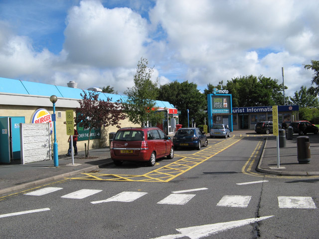
Southwaite Services
Southwaite services is a motorway service station, between junctions 41 and 42 of the M6 motorway near Southwaite, Cumbria, England. It is about 7 miles...

High Hesket
High Hesket is a village near the A6 road, in the parish of Hesket, in the Eden district, in the English county of Cumbria. The village was on the A6 road...
Ivegill
Ivegill is a small village in Cumbria, England. The village has one place of worship and a school. It is located on an unclassified road near Southwaite...
Low Hesket
Low Hesket is a village in the English county of Cumbria. Low Hesket is on the A6 road 8+1⁄2 miles (13.7 km) south of Carlisle. This is a former Roman...
Inglewood Forest
Inglewood Forest is a large tract of mainly arable and dairy farm land with a few small woodland areas between Carlisle and Penrith in the English non...

Calthwaite
Calthwaite is a small village in rural Cumbria, England, situated between the small market town of Penrith and the larger city of Carlisle. It is within...
Nearby Amenities
Located within 500m of 54.78275,-2.8609212Have you been to Rhode Island Wood?
Leave your review of Rhode Island Wood below (or comments, questions and feedback).