Cold Newton

Settlement in Leicestershire Harborough

England

Cold Newton

Grassland, Skeg Hill
Grassland, Skeg Hill Credit: Jonathan Thacker

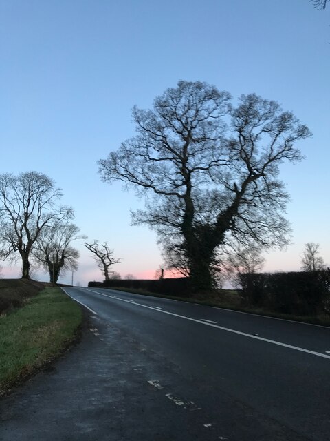
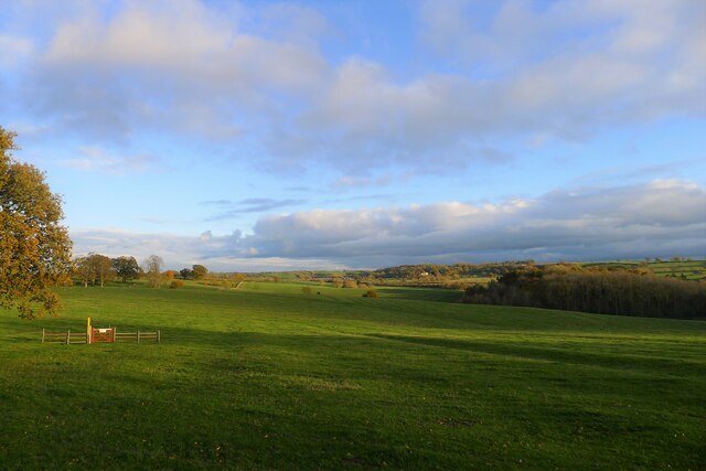
Cold Newton is a small village located in the county of Leicestershire, England. Situated approximately 8 miles east of the city of Leicester, it falls within the Harborough district. The village sits on a gentle slope, offering picturesque views of the surrounding countryside.

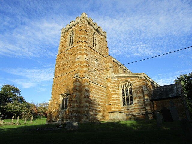
With a population of around 200 residents, Cold Newton is known for its peaceful and rural atmosphere. The village is characterized by a mix of traditional brick and thatched cottages, as well as more contemporary houses. Its quaint charm is further enhanced by the presence of a historic church, St. Giles, which dates back to the 13th century and serves as a focal point for the community.

Despite its small size, Cold Newton boasts a vibrant community spirit. The village has a well-utilized village hall, hosting various events and activities, including social gatherings, clubs, and classes. Additionally, the local pub, The Queen’s Head, is a popular meeting place for both residents and visitors alike.

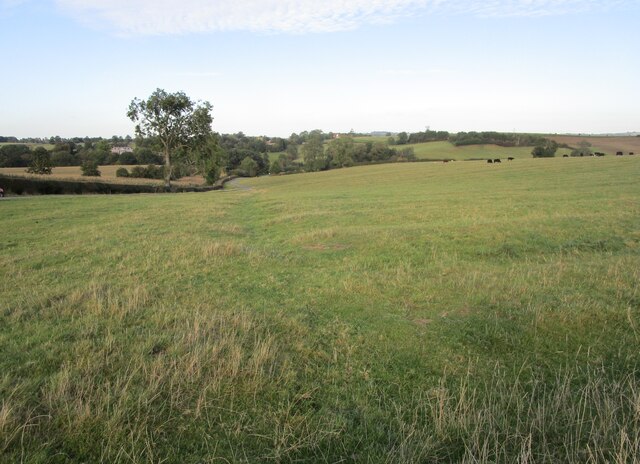
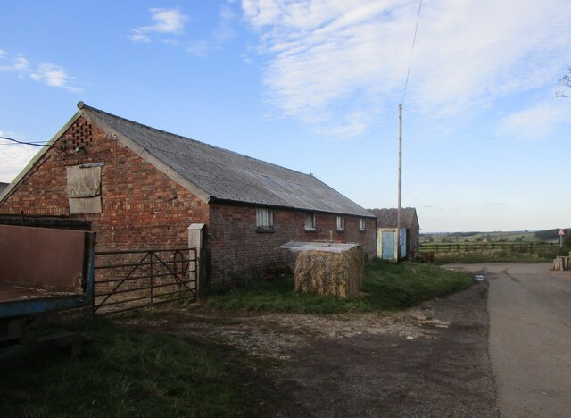
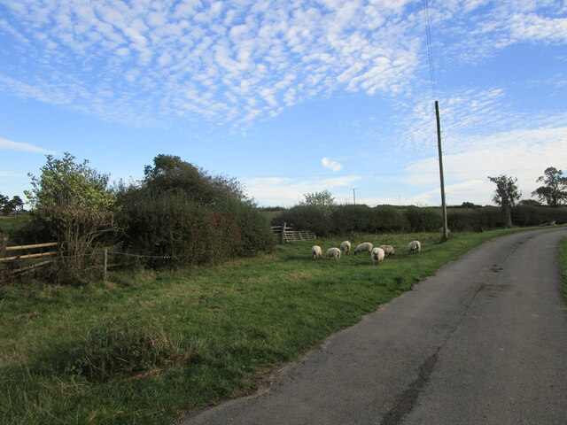
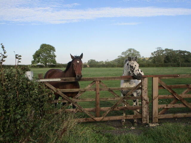
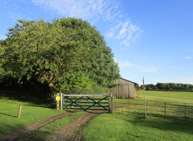
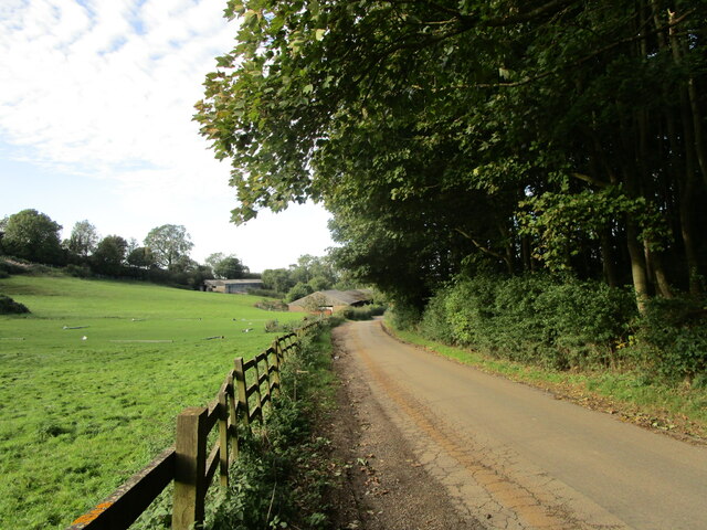
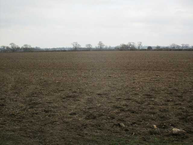
Surrounded by rolling farmland, Cold Newton offers ample opportunities for outdoor activities such as walking, cycling, and horse riding. The village is also a great base for exploring the nearby attractions, including the well-known Rutland Water, a reservoir renowned for its wildlife and water sports.

Overall, Cold Newton is a tranquil and picturesque village that provides a charming escape from the bustling city life, while still offering a sense of community and access to the natural beauty of the Leicestershire countryside.

If you have any feedback on the listing, please let us know in the comments section below.
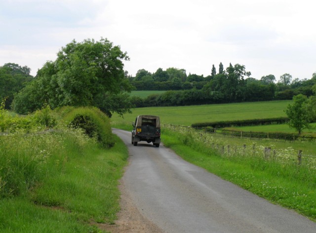
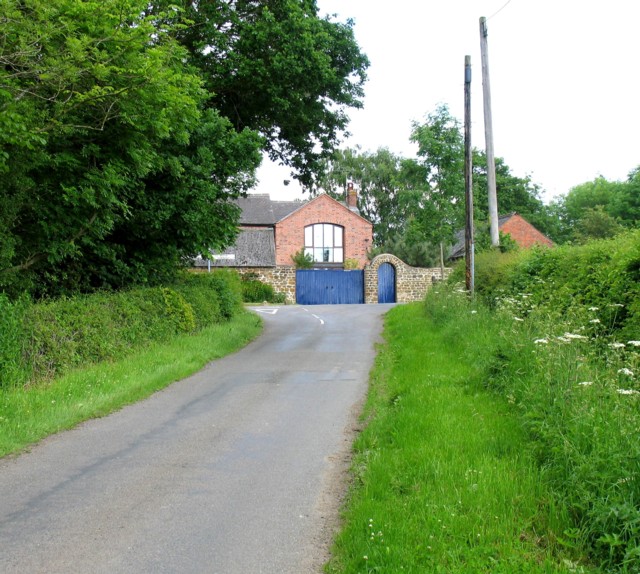
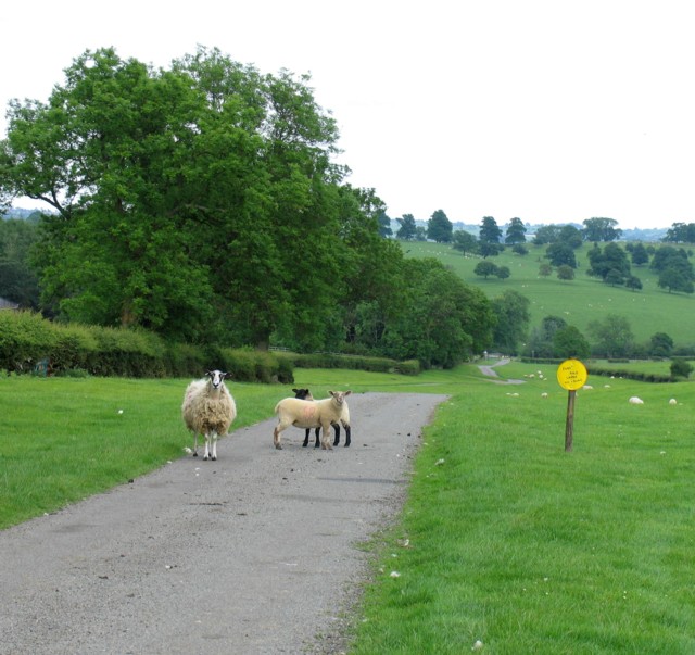
Cold Newton Images

Images are sourced within 2km of 52.650458/-0.94258 or Grid Reference SK7106. Thanks to Geograph Open Source API. All images are credited.

Grassland, Skeg Hill
Farm building, Cold Newton
Sheep at Cold Newton On the site of the medieval village.
Sheep at Cold Newton
On the site of the medieval village.
Horses at Cold Newton
All Saints' church. Lowesby Restored medieval church <span class="nowrap"><a title="https://historicengland.org.uk/listing/the-list/list-entry/1295216" rel="nofollow ugc noopener" href="https://historicengland.org.uk/listing/the-list/list-entry/1295216">Link</a><img style="margin-left:2px;" alt="External link" title="External link - shift click to open in new window" src="https://s1.geograph.org.uk/img/external.png" width="10" height="10"/></span>
All Saints' church. Lowesby
Restored medieval church LinkExternal link
The beginning of a footpath to Tilton on the Hill
Grass field near Sludge Hall Farm
Sludge Hall Hill Lord Morton's Covert on the right.
Sludge Hall Hill
Lord Morton's Covert on the right.
Grass field and communications mast
View from the junction
Lowesby Hall Listed Grade II, early 18th century.
Lowesby Hall
Listed Grade II, early 18th century.
Quenby Hall Listed Grade I. Described by Sir Nikolaus Pevsner as "the most important early-seventeenth century house in the county" <span class="nowrap"><a title="https://en.wikipedia.org/wiki/Quenby_Hall" rel="nofollow ugc noopener" href="https://en.wikipedia.org/wiki/Quenby_Hall">Link</a><img style="margin-left:2px;" alt="External link" title="External link - shift click to open in new window" src="https://s1.geograph.org.uk/img/external.png" width="10" height="10"/></span>
Quenby Hall
Listed Grade I. Described by Sir Nikolaus Pevsner as "the most important early-seventeenth century house in the county" LinkExternal link
'High Leicestershire'; view south-east of Quenby Hall "This landscape of broad, rolling ridges and secluded valleys has a quiet, remote and rural character with small villages and scattered farms." <span class="nowrap"><a title="http://publications.naturalengland.org.uk/publication/5911470780973056?map=true&category=587130" rel="nofollow ugc noopener" href="http://publications.naturalengland.org.uk/publication/5911470780973056?map=true&category=587130">Link</a><img style="margin-left:2px;" alt="External link" title="External link - shift click to open in new window" src="https://s1.geograph.org.uk/img/external.png" width="10" height="10"/></span>
'High Leicestershire'; view south-east of Quenby Hall
"This landscape of broad, rolling ridges and secluded valleys has a quiet, remote and rural character with small villages and scattered farms." LinkExternal link
Where's the bridleway? No attempt has been made to mark the route of this bridleway which is part of the Midshires Way.
Where's the bridleway?
No attempt has been made to mark the route of this bridleway which is part of the Midshires Way.
Ingarsby Road near Ingarsby Lodge
Hungarton Road
Hungarton Road
Hungarton Road/Park Road junction. Hungarton  Road continues to the right at the T junction and Park road goes off to the left. The map marks the group of buildings as White's Barn.
Hungarton Road/Park Road junction.
Hungarton Road continues to the right at the T junction and Park road goes off to the left. The map marks the group of buildings as White's Barn.
Park Road
Park Road
Show me another place!

Cold Newton is located at Grid Ref: SK7106 (Lat: 52.650458, Lng: -0.94258)

Administrative County: Leicestershire

District: Harborough

Police Authority: Leicestershire

What 3 Words

///print.booms.highlighted. Near Houghton on the Hill, Leicestershire

Related Wikis

Cold Newton

Cold Newton is a small hamlet and civil parish in the Harborough district of Leicestershire, England. It is situated about two miles from Tilton on the...

Lowesby

Lowesby is a small parish and township situated in the district of Harborough in Leicestershire. It is 8 miles east of the county capital, Leicester, and...
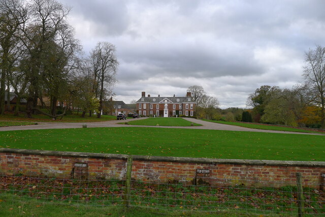
Lowesby Hall

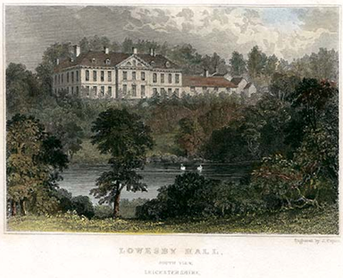
Lowesby Hall is a large Grade II* Georgian mansion in the parish and former manor of Lowesby, eight miles east of Leicester in Leicestershire. It is a...
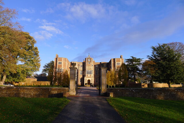
Quenby Hall

Quenby Hall is a Jacobean house in parkland near the villages of Cold Newton and Hungarton, Leicestershire, England. It is described by Sir Nikolaus Pevsner...

Nearby Amenities

Located within 500m of 52.650458,-0.94258
Barrier: cattle_grid
Lat/Long: 52.6531568/-0.9393707
Barrier: cattle_grid
Lat/Long: 52.6492437/-0.9434416
The Firs
Naptan AtcoCode: 260018600
Naptan Bearing: NE
Naptan BusStopType: CUS
Naptan CommonName: The Firs
Naptan Indicator: outside
Naptan Landmark: The Firs
Naptan NaptanCode: leijmdpd
Naptan Notes: Non-Hourly - County
Naptan Street: Main Street
Naptan Verified: no
Source: naptan_import
Lat/Long: 52.6504401/-0.9430483
Turn
Naptan AtcoCode: 260018600A
Naptan Bearing: SE
Naptan BusStopType: CUS
Naptan CommonName: Turn
Naptan Indicator: adjacent
Naptan Landmark: Turn
Naptan NaptanCode: leijmdpg
Naptan Notes: Non-hourly - County
Naptan Street: Hungarton Road
Naptan Verified: no
Source: naptan_import
Lat/Long: 52.6493279/-0.9433412
The Firs
Naptan AtcoCode: 260018601
Naptan Bearing: SW
Naptan BusStopType: CUS
Naptan CommonName: The Firs
Naptan Indicator: opposite
Naptan Landmark: The Firs
Naptan NaptanCode: leijmdpj
Naptan Notes: Non-Hourly - County
Naptan Street: Main Street
Naptan Verified: no
Source: naptan_import
Lat/Long: 52.650348/-0.9427992
Turn
Naptan AtcoCode: 260018601A
Naptan Bearing: W
Naptan BusStopType: CUS
Naptan CommonName: Turn
Naptan Indicator: opposite
Naptan Landmark: Turn
Naptan NaptanCode: leijmdpm
Naptan Notes: Non-hourly - County
Naptan Street: Hungarton Road
Naptan Verified: no
Source: naptan_import
Lat/Long: 52.6491772/-0.9435813
The data included in this document is from www.openstreetmap.org. The data is made available under ODbL.

Have you been to Cold Newton?

Leave your review of Cold Newton below (or comments, questions and feedback).