Copridding Wood

Wood, Forest in Westmorland South Lakeland

England

Copridding Wood

Saltmarsh on the Kent estuary Arnside Knott in background, Arnside town to the left.
Saltmarsh on the Kent estuary Credit: Raymond Knapman

Copridding Wood is a picturesque forest located in the county of Westmorland, England. Situated in the heart of the Lake District National Park, this woodland area covers a vast expanse of approximately 500 acres. The wood is known for its rich biodiversity and stunning natural beauty, attracting nature enthusiasts and hikers alike.

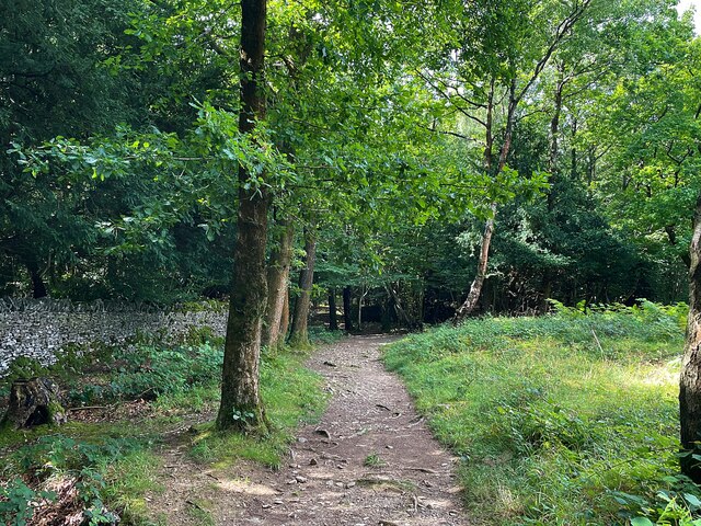
The forest is predominantly made up of a mix of broadleaf trees, including oak, beech, and ash, which provide a vibrant display of colors throughout the seasons. The dense canopy of foliage creates a serene and tranquil atmosphere, offering a perfect retreat from the bustling city life.

Copridding Wood is home to a wide variety of wildlife, making it a haven for nature lovers. Visitors may encounter deer, foxes, and various species of birds, including owls and woodpeckers. The forest's diverse ecosystem supports a range of plant life, including wildflowers, ferns, and mosses, adding to its natural charm.

The wood is crisscrossed by a network of walking trails, allowing visitors to explore its hidden treasures. These well-maintained paths wind through the forest, offering glimpses of babbling brooks and small ponds along the way. The forest also boasts a number of picnic areas, providing an ideal spot to relax and enjoy the serenity of the surroundings.

Copridding Wood is a popular destination for outdoor activities, such as hiking, birdwatching, and photography. Its accessibility and natural splendor make it a must-visit location for anyone seeking a peaceful escape in the heart of Westmorland's countryside.

If you have any feedback on the listing, please let us know in the comments section below.

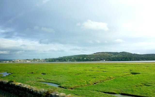
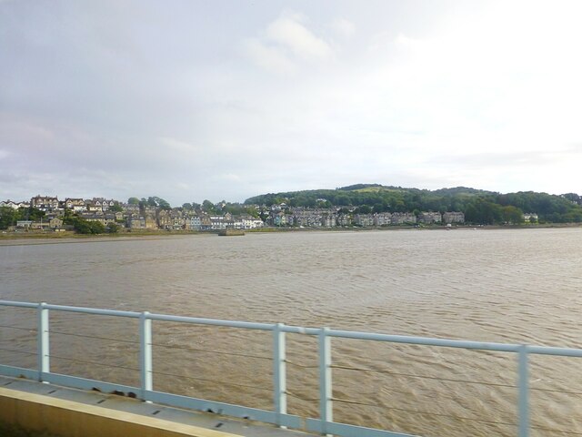
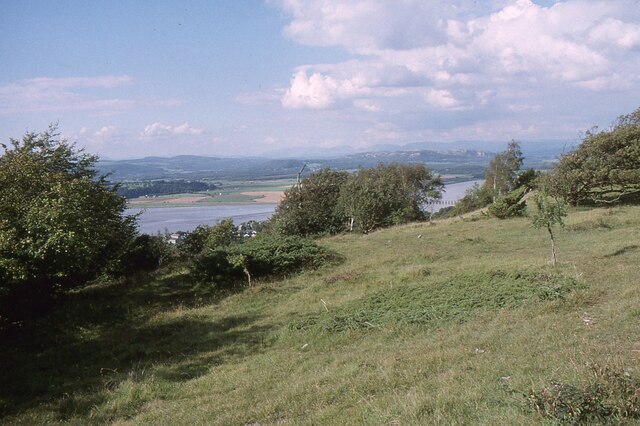
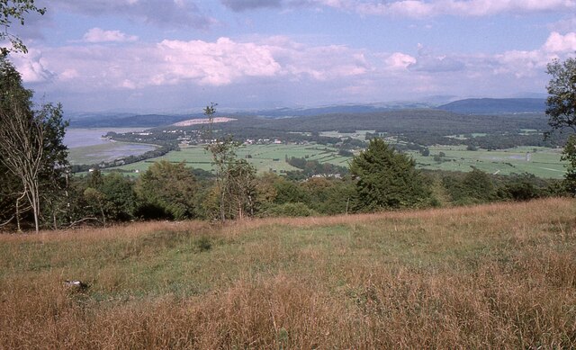
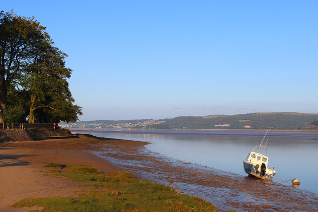
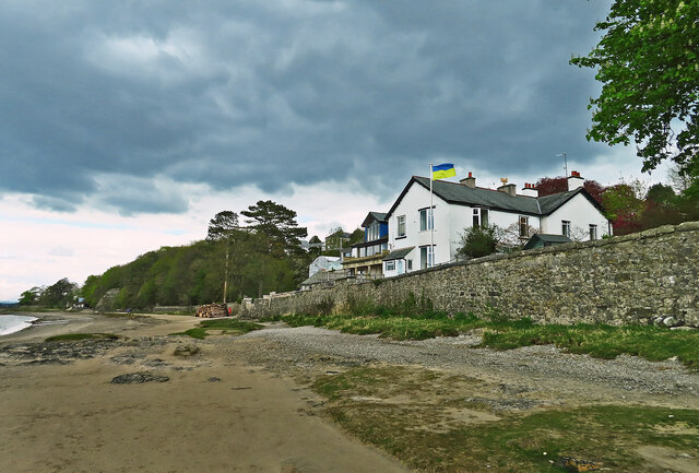
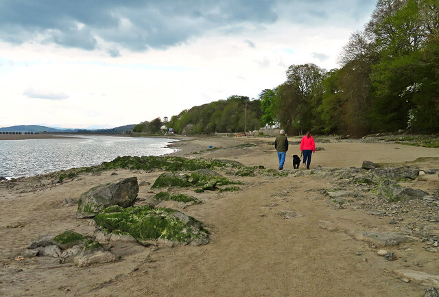
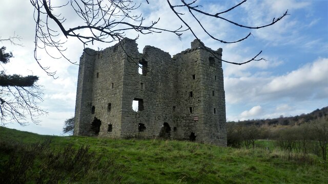
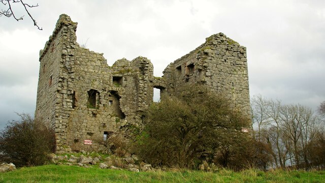
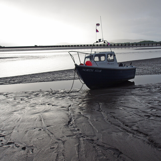
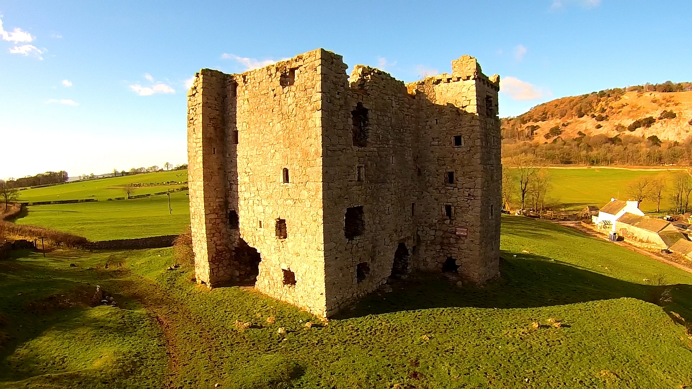
Copridding Wood Images

Images are sourced within 2km of 54.190327/-2.8497559 or Grid Reference SD4477. Thanks to Geograph Open Source API. All images are credited.

Saltmarsh on the Kent estuary Arnside Knott in background, Arnside town to the left.
Saltmarsh on the Kent estuary
Arnside Knott in background, Arnside town to the left.
River Kent River Kent viewed from the Kent Viaduct. Arnside town in distance
River Kent
River Kent viewed from the Kent Viaduct. Arnside town in distance
The Kent Estuary near Grubbins Wood A late afternoon view of the Kent Estuary on New Year's Day 2022 after the hordes had headed back to Arnside.

This photograph was taken during the Coronavirus (COVID-19) pandemic of 2020/21/22.
The Kent Estuary near Grubbins Wood
A late afternoon view of the Kent Estuary on New Year's Day 2022 after the hordes had headed back to Arnside. This photograph was taken during the Coronavirus (COVID-19) pandemic of 2020/21/22.
Arnside Knott Looking north-northeast over the Kent Estuary. Part of the Kent Viaduct is visible behind the trees in the centre.

Arnside Knott is a National Trust property renowned for its wildlife on this important limestone outcrop.

Position within the square uncertain.
Arnside Knott
Looking north-northeast over the Kent Estuary. Part of the Kent Viaduct is visible behind the trees in the centre. Arnside Knott is a National Trust property renowned for its wildlife on this important limestone outcrop. Position within the square uncertain.
Arnside Knott Looking northeast towards Storth and Sandside Quarry.

Arnside Knott is a National Trust property renowned for its wildlife on this important limestone outcrop.

Position within the square uncertain.
Arnside Knott
Looking northeast towards Storth and Sandside Quarry. Arnside Knott is a National Trust property renowned for its wildlife on this important limestone outcrop. Position within the square uncertain.
Arnside Promenade Coast at Arnside.
Arnside Promenade
Coast at Arnside.
Beachwood House Right down there on the foreshore of the Kent Estuary.
Beachwood House
Right down there on the foreshore of the Kent Estuary.
A quick foreshore walk The deteriorating weather discouraged walkers from going very far from Arnside on this late-April afternoon.
A quick foreshore walk
The deteriorating weather discouraged walkers from going very far from Arnside on this late-April afternoon.
Arnside Tower View from east of the fortified house
Arnside Tower
View from east of the fortified house
Arnside Tower View from west of the fortified house
Arnside Tower
View from west of the fortified house
Kent estuary at Arnside Looking towards the railway viaduct from the pier, at low water in the evening under threatening skies.
Kent estuary at Arnside
Looking towards the railway viaduct from the pier, at low water in the evening under threatening skies.
Small boat on the mud
Arnside Pier
Arnside Pier
Kent Viaduct Carrying the railway over the River Kent and Milnthorpe Sands.
Kent Viaduct
Carrying the railway over the River Kent and Milnthorpe Sands.
Arnside shoreline and pier
Path through Copridding Wood
Windblown tree on Arnside Knott
The view from Arnside Knott Looking over the Kent Viaduct and Milnthorpe Sands
The view from Arnside Knott
Looking over the Kent Viaduct and Milnthorpe Sands
Show me another place!

Copridding Wood is located at Grid Ref: SD4477 (Lat: 54.190327, Lng: -2.8497559)

Administrative County: Cumbria

District: South Lakeland

Police Authority: Cumbria

What 3 Words

///cracks.envelope.reclining. Near Arnside, Cumbria

Related Wikis

Nearby Amenities

Located within 500m of 54.190327,-2.8497559
Source: PGS
Lat/Long: 54.1943429/-2.8529791
Source: PGS
Lat/Long: 54.1940435/-2.8539189
Source: PGS
Lat/Long: 54.1938425/-2.8545038
Source: PGS
Lat/Long: 54.1935131/-2.8547737
Source: PGS
Lat/Long: 54.193387/-2.8543336
Source: PGS
Lat/Long: 54.1935335/-2.8549005
Barrier: lift_gate
Lat/Long: 54.1923999/-2.8562292
Parking
National Trust carpark
Lat/Long: 54.1892007/-2.8445309
Barrier: kissing_gate
Lat/Long: 54.1919376/-2.8528355
Welcome to Grubbins Wood Nature Reserve
Board Type: wildlife
Information: board
Tourism: information
Lat/Long: 54.1927976/-2.8531837
Barrier: swing_gate
Foot: yes
Image: https://www.geograph.org.uk/photo/1005164
Motor Vehicle: no
Lat/Long: 54.1929055/-2.8557403
Power: pole
Transformer: distribution
Lat/Long: 54.192632/-2.856283
Power: pole
Lat/Long: 54.1922758/-2.8545852
Power: pole
Lat/Long: 54.1919353/-2.8529169
Power: pole
Lat/Long: 54.1920154/-2.8508535
Power: pole
Lat/Long: 54.1929683/-2.8497961
The data included in this document is from www.openstreetmap.org. The data is made available under ODbL.

Have you been to Copridding Wood?

Leave your review of Copridding Wood below (or comments, questions and feedback).