Bullock's Wood
Wood, Forest in Herefordshire
England
Bullock's Wood

Bullock's Wood is a sprawling forest located in the idyllic county of Herefordshire, England. Stretching over an area of approximately 500 acres, this ancient woodland is a haven of natural beauty and diverse wildlife.
The wood is predominantly composed of broadleaf trees, such as oak, beech, and ash, which create a dense canopy, allowing only dappled sunlight to filter through to the forest floor. This creates a unique microclimate within the wood, nurturing a rich variety of flora and fauna.
Walking through Bullock's Wood, visitors can expect to encounter a plethora of wildlife. From the enchanting songs of various bird species, including woodpeckers and thrushes, to the occasional glimpse of deer gracefully darting through the undergrowth, the forest is teeming with life. The woodland floor is adorned with a carpet of bluebells in the springtime, while ferns and mosses thrive in the damp and shaded areas.
The wood is crisscrossed by an extensive network of footpaths, allowing visitors to explore its many hidden corners. These paths lead to charming clearings, babbling streams, and small ponds, creating a tranquil environment for nature enthusiasts and walkers alike.
Bullock's Wood also holds historical significance, with evidence of human activity dating back centuries. The remains of old charcoal kilns and ancient boundary banks can be found, serving as a reminder of the wood's past use for timber and industry.
Overall, Bullock's Wood is a captivating destination for those seeking solace in nature. Its breathtaking landscapes, abundant wildlife, and rich history make it a truly special place within the heart of Herefordshire.
If you have any feedback on the listing, please let us know in the comments section below.
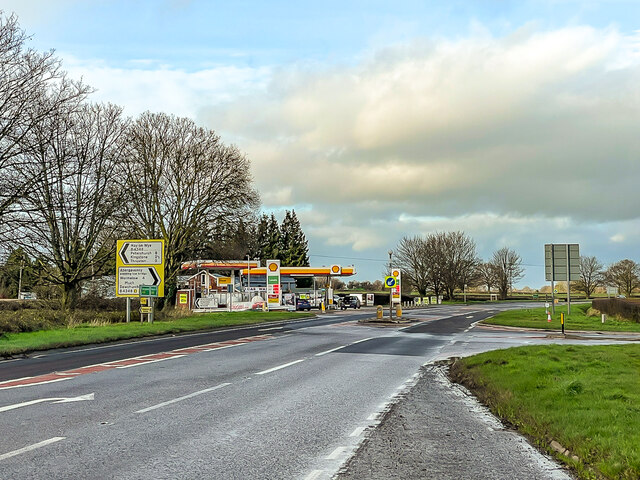
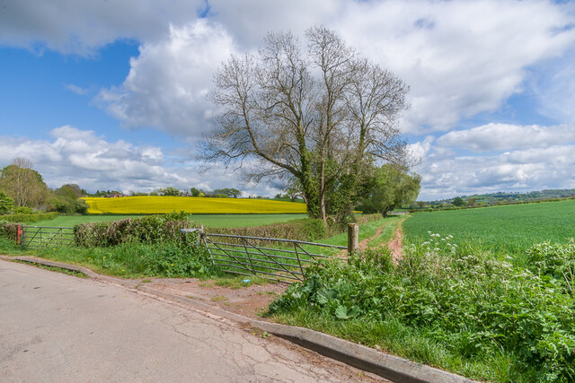
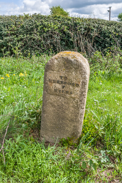
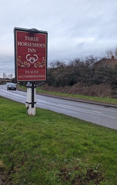
Bullock's Wood Images
Images are sourced within 2km of 51.997592/-2.8078401 or Grid Reference SO4433. Thanks to Geograph Open Source API. All images are credited.


Bullock's Wood is located at Grid Ref: SO4433 (Lat: 51.997592, Lng: -2.8078401)
Unitary Authority: County of Herefordshire
Police Authority: West Mercia
What 3 Words
///jazzy.momentous.aimless. Near Thruxton, Herefordshire
Nearby Locations
Related Wikis

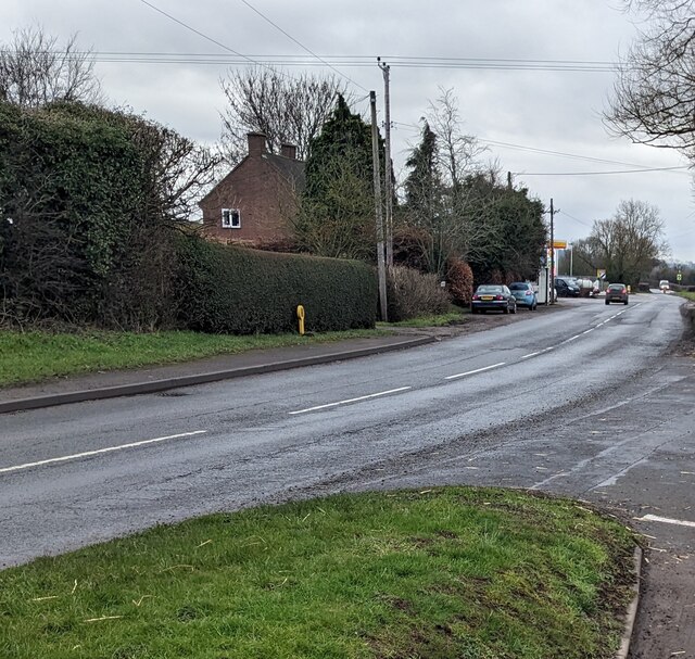
Thruxton, Herefordshire
Thruxton is a small rural village and civil parish in Herefordshire, England. It is located within the historic area of Archenfield, near the Welsh border...

Kingstone, Herefordshire
Kingstone is a civil parish and a large village in rural Herefordshire, England. It lies within the historic area of Archenfield, near the Welsh border...
Treville, Herefordshire
Treville (called in Welsh Trefelin) is a rural area and former royal forest in the English county of Herefordshire. It is near Wormbridge and other small...

Tram Inn railway station
Tram Inn railway station was a station to the east of Thruxton, Herefordshire, England. It was named after a local public house, itself named after a tramway...
Kivernoll
Kivernoll (originally Kiverknoll) is a hamlet in the county of Herefordshire, England. It is part of Much Dewchurch parish. Kivernoll consists of a small...
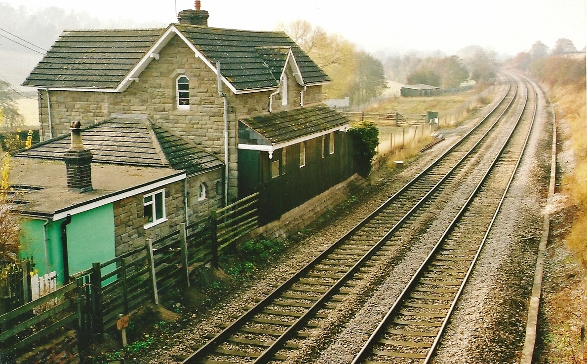
St Devereux railway station
St Devereux railway station was a station in Kilpeck, Herefordshire, England. The station was opened in 1854 and closed in 1958. == References == ��2...
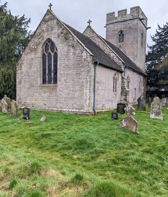
Wormbridge
Wormbridge is a village and former civil parish in Herefordshire, England, about eight miles south-west of Hereford, on the A465 road at (SO423316). The...

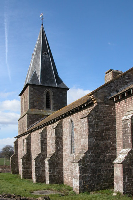
Allensmore
Allensmore is a village in Herefordshire, England. It is located on the A465 road about 4 miles (6 km) south-west of Hereford. The church is dedicated...
Have you been to Bullock's Wood?
Leave your review of Bullock's Wood below (or comments, questions and feedback).