Windsley Copse
Wood, Forest in Somerset South Somerset
England
Windsley Copse
Windsley Copse is a picturesque woodland located in Somerset, England. Covering an area of approximately 100 acres, it is a haven for nature enthusiasts and a popular destination for outdoor activities. The copse is characterized by its dense collection of trees, predominantly consisting of oak, beech, and ash, which create a stunning canopy that offers shade and shelter to the flora and fauna that call this woodland home.
The woodland floor is carpeted with a rich variety of wildflowers, including bluebells in the springtime, creating a vibrant and colorful display. This attracts numerous species of butterflies and insects, making it a paradise for wildlife photographers and nature lovers alike.
Windsley Copse is crisscrossed with a network of well-maintained footpaths, allowing visitors to explore the copse and discover its hidden treasures. These paths wind their way through the forest, taking visitors past babbling brooks, ancient trees, and moss-covered rocks, providing a sense of tranquility and serenity.
The copse also boasts a diverse range of wildlife, including deer, badgers, foxes, and a variety of bird species. Birdwatchers often flock to the copse to catch a glimpse of rare and migratory birds that pass through the area.
In addition to its natural beauty, Windsley Copse offers a range of recreational activities. Visitors can enjoy picnicking amidst the peaceful surroundings, or engage in activities such as hiking, cycling, and horseback riding. The copse also features a designated camping area, allowing nature enthusiasts to spend the night under the starry skies.
Overall, Windsley Copse is a hidden gem in Somerset, offering a perfect blend of natural beauty, tranquility, and outdoor adventure for all who visit.
If you have any feedback on the listing, please let us know in the comments section below.
Windsley Copse Images
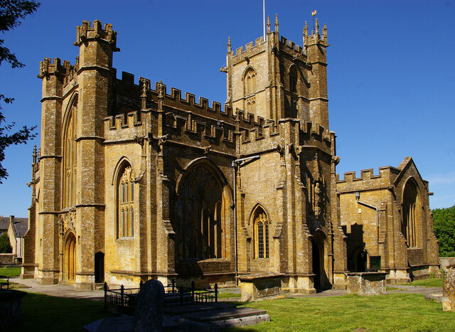
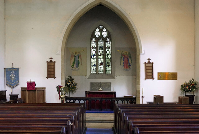
Images are sourced within 2km of 50.868209/-2.7933144 or Grid Reference ST4407. Thanks to Geograph Open Source API. All images are credited.


Windsley Copse is located at Grid Ref: ST4407 (Lat: 50.868209, Lng: -2.7933144)
Administrative County: Somerset
District: South Somerset
Police Authority: Avon and Somerset
What 3 Words
///ironic.battle.tall. Near Crewkerne, Somerset
Nearby Locations
Related Wikis

Misterton, Somerset
Misterton is a village and civil parish 1 mile (1.6 km) south-east of Crewkerne, Somerset, England. == History == The village was previously known as Minsterton...

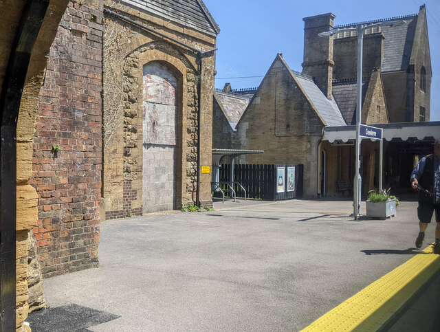
Crewkerne railway station
Crewkerne railway station is located in Misterton in Somerset, England, and serves the area around the town of Crewkerne. It is 131 miles 33 chains (211...
Crewkerne
Crewkerne ( KROO-kərn) is a town and electoral ward in south Somerset, England, 9 miles (14 km) southwest of Yeovil and 7 miles (11 km) east of Chard....

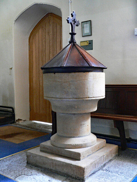
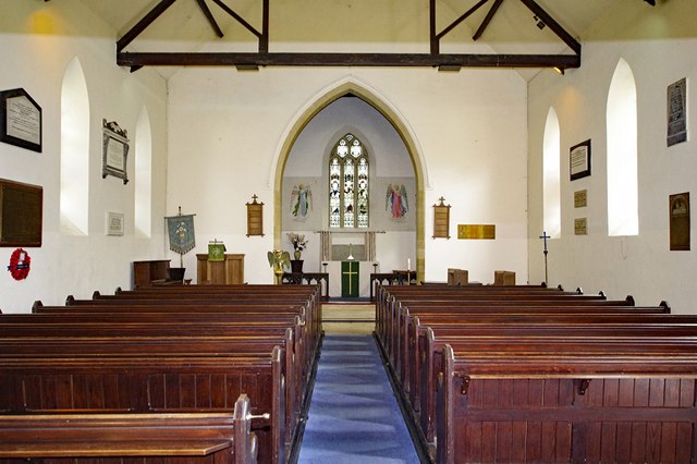
Christ Church, Crewkerne
Christ Church was a Church of England church in Crewkerne, Somerset, England. It was constructed in 1852–1854 to the designs of James Mountford Allen....
Nearby Amenities
Located within 500m of 50.868209,-2.7933144Have you been to Windsley Copse?
Leave your review of Windsley Copse below (or comments, questions and feedback).