Broomclose Plantation
Wood, Forest in Westmorland Eden
England
Broomclose Plantation

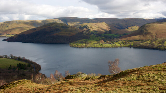
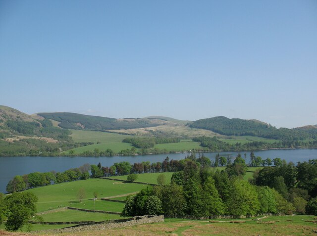
Broomclose Plantation is a picturesque woodland located in the county of Westmorland, England. Situated in the heart of the Lake District National Park, it covers an area of approximately 100 acres and is renowned for its natural beauty and diverse ecosystem.
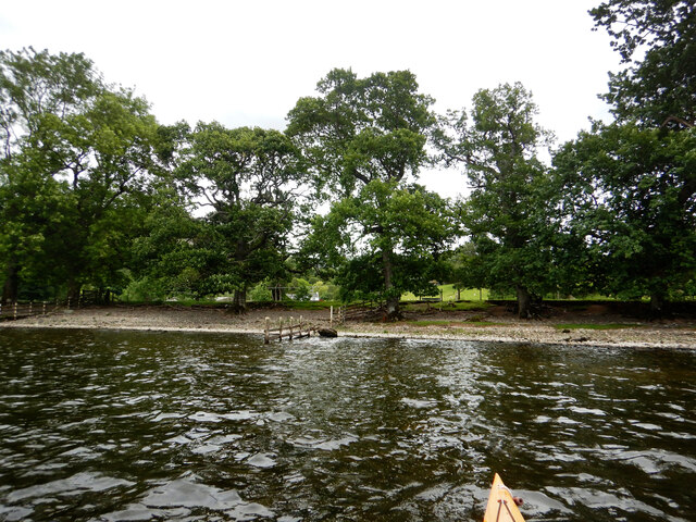
The plantation is predominantly composed of broadleaf trees, such as oak, beech, and birch, which create a vibrant and lush canopy overhead. These trees provide a habitat for a variety of wildlife, including birds, mammals, and insects. Visitors to Broomclose Plantation may have the opportunity to spot species such as red squirrels, roe deer, and a wide range of bird species.
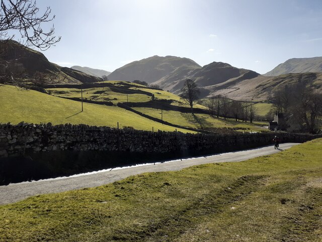
The woodland floor is adorned with an abundance of wildflowers, ferns, and mosses, adding to the enchanting atmosphere of the plantation. Walking trails meander through the woods, allowing visitors to explore and appreciate the tranquil surroundings. These trails offer breathtaking views of the surrounding landscape, including glimpses of nearby lakes and rolling hills.
Broomclose Plantation is an ideal destination for nature enthusiasts, hikers, and photographers alike. Its natural beauty and peaceful ambiance provide an escape from the hustle and bustle of daily life. Additionally, the plantation offers opportunities for educational activities, such as nature walks and wildlife spotting, making it a popular destination for schools and educational groups.
Overall, Broomclose Plantation is a cherished natural treasure in Westmorland. Its diverse flora and fauna, combined with its stunning views, make it a must-visit location for anyone seeking to connect with nature and experience the beauty of the Lake District.
If you have any feedback on the listing, please let us know in the comments section below.
Broomclose Plantation Images
Images are sourced within 2km of 54.56918/-2.8677818 or Grid Reference NY4319. Thanks to Geograph Open Source API. All images are credited.


Broomclose Plantation is located at Grid Ref: NY4319 (Lat: 54.56918, Lng: -2.8677818)
Administrative County: Cumbria
District: Eden
Police Authority: Cumbria
What 3 Words
///digital.birthdays.torched. Near Penrith, Cumbria
Nearby Locations
Related Wikis

Howtown Hotel
Howtown Hotel is a hotel in Howtown, Cumbria, England, located near the southern shore of the Ullswater lake. Although it won the César Award for Best...

Howtown
Howtown is a hamlet in Cumbria, England, situated at a small harbour on the east shore of Ullswater in the Lake District. It lies within the civil parish...
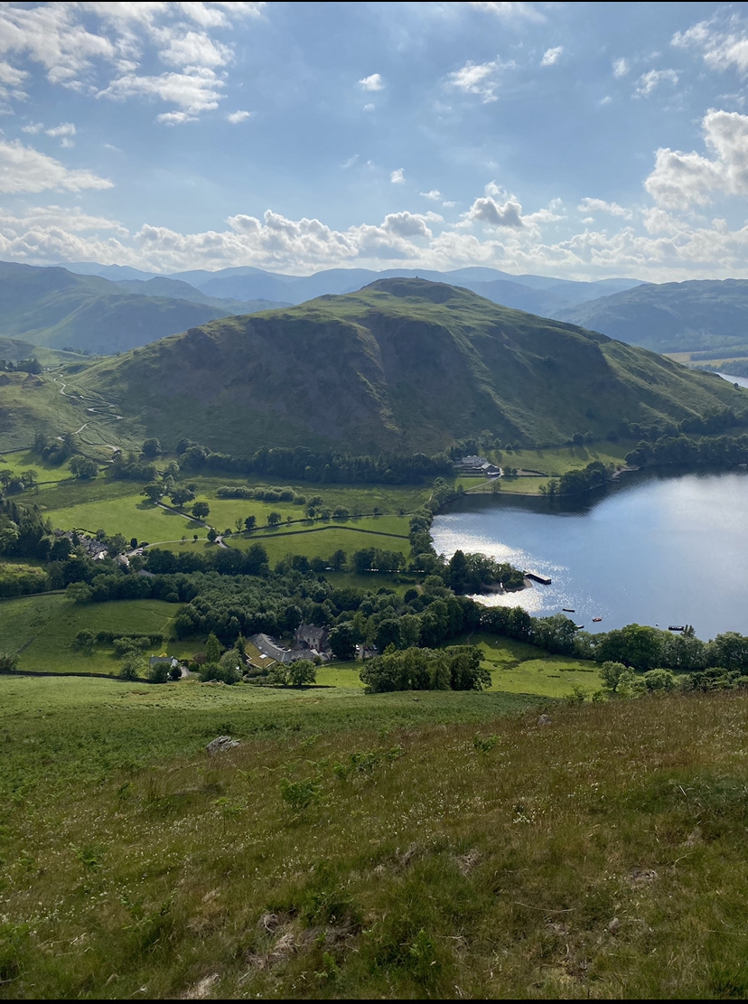
Hallin Fell
Hallin Fell is a hill in the English Lake District surrounded on three sides by Ullswater. == Topography == The fell is a continuation of the ridge leading...
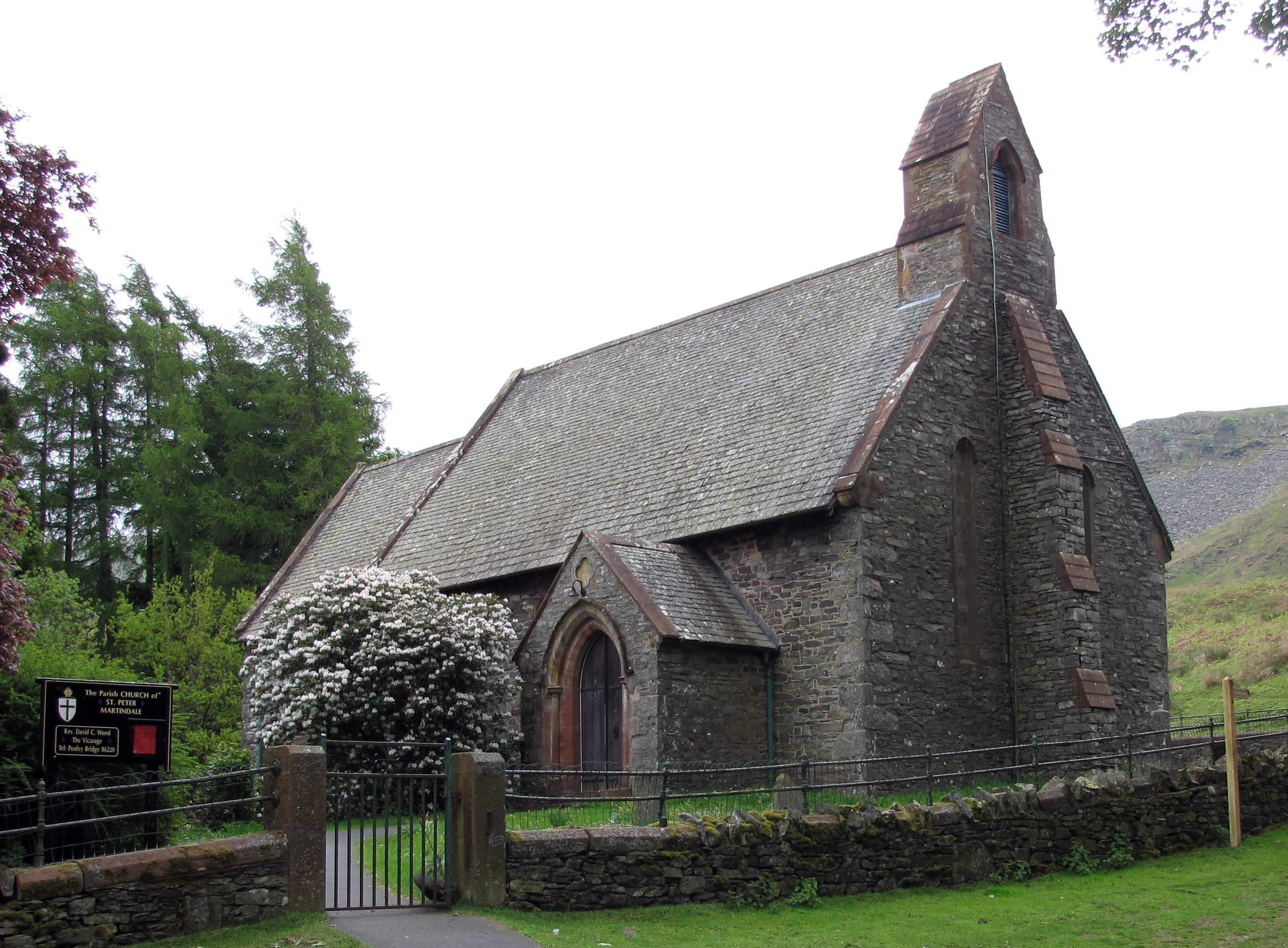
St Peter's Church, Martindale
St Peter’s Church is situated in the valley of Martindale in Cumbria, England. The church is located at the top of the hause on the minor road between...

Ullswater
Ullswater is a glacial lake in Cumbria, England and part of the Lake District National Park. It is the second largest lake in the region by both area and...

Bonscale Pike
Bonscale Pike is a fell in the English Lake District, standing above Howtown on Ullswater. It is the northern end of a spur running north north west from...
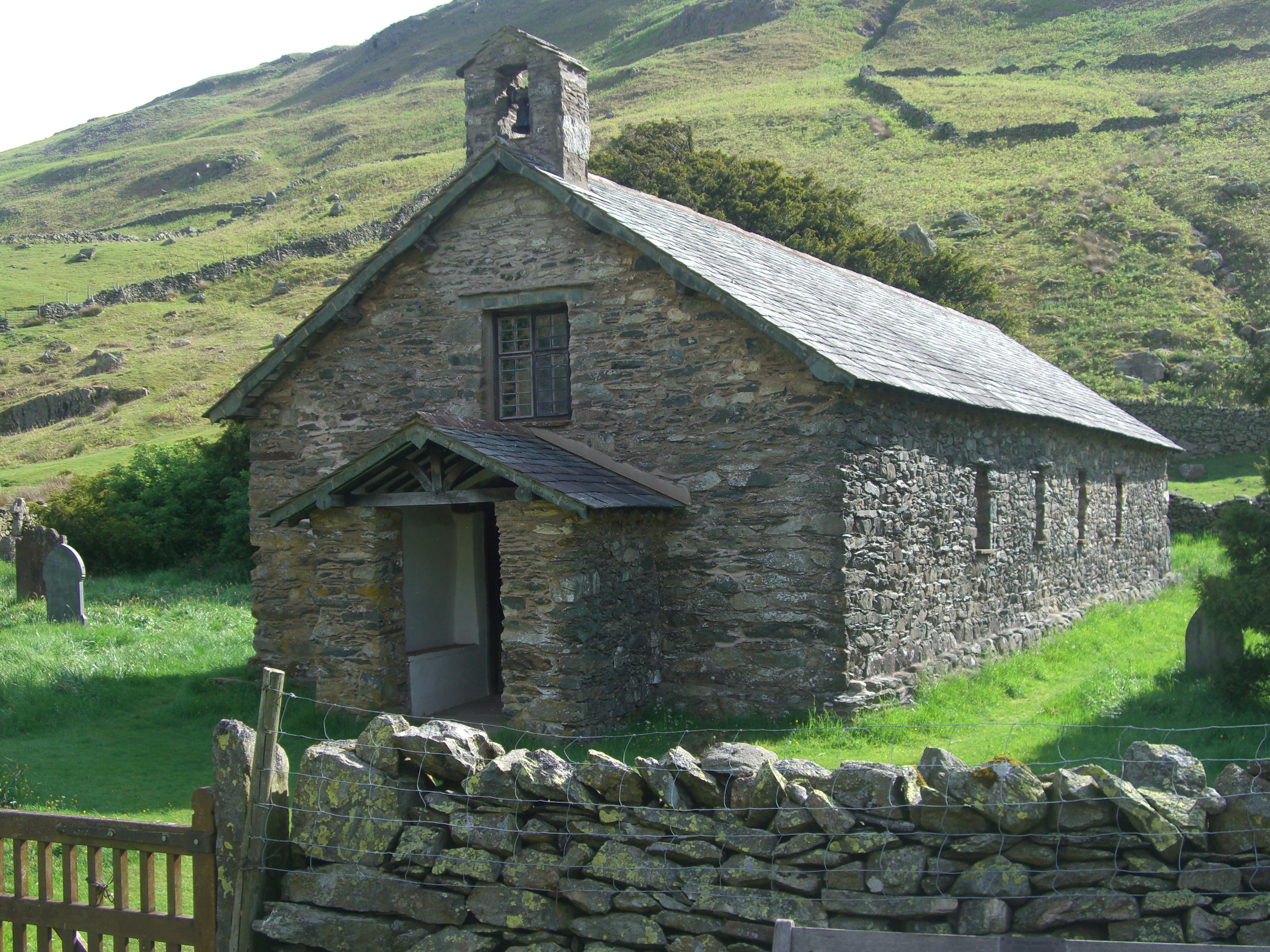
St Martin's Church, Martindale
St Martin's Church, Martindale is located in the valley of Martindale in Cumbria, England. It is often referred to as the "Old Church" to avoid confusion...

Martindale, Cumbria
Martindale is a valley, village and civil parish in Cumbria, England, situated within the Lake District National Park between the lakes of Ullswater and...
Nearby Amenities
Located within 500m of 54.56918,-2.8677818Have you been to Broomclose Plantation?
Leave your review of Broomclose Plantation below (or comments, questions and feedback).