Burble Wood
Wood, Forest in Cumberland Eden
England
Burble Wood

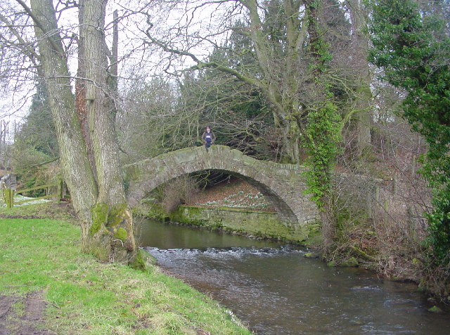
Burble Wood is a picturesque forest located in Cumberland, a county in the north of England. Spread across a vast area, it is a popular destination for nature enthusiasts and hikers alike. The wood is characterized by its dense foliage, towering trees, and diverse wildlife, making it a haven for biodiversity.
The forest is home to a variety of tree species, including oak, beech, and birch, creating a vibrant and ever-changing landscape throughout the year. Visitors can expect to be greeted by a symphony of birdsong, as the wood is rich in avian life. One may spot woodpeckers, owls, and various migratory birds, adding to the enchanting atmosphere.
Burble Wood offers a network of well-maintained trails that wind through its lush greenery. These paths cater to different levels of difficulty, ranging from leisurely strolls to more challenging hikes. Along the way, hikers may stumble upon babbling brooks and small ponds, providing opportunities for tranquility and reflection.
The forest also holds historical significance, with remnants of ancient settlements and burial mounds scattered throughout its grounds. Archaeological discoveries suggest that the area was inhabited as far back as the Neolithic period, adding an extra layer of intrigue to Burble Wood.
With its captivating beauty and serene ambiance, Burble Wood offers a sanctuary for those seeking solace in nature. Whether it's an escape from the bustling city or an opportunity to immerse oneself in the wonders of the natural world, this forest in Cumberland is sure to leave a lasting impression on all who venture within its bounds.
If you have any feedback on the listing, please let us know in the comments section below.
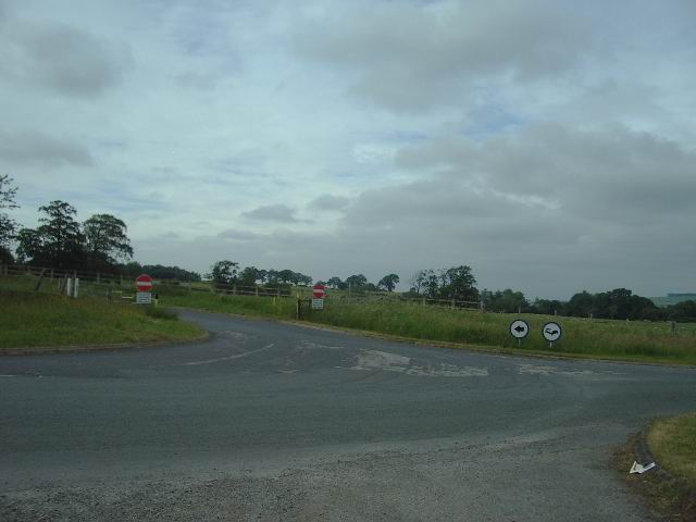
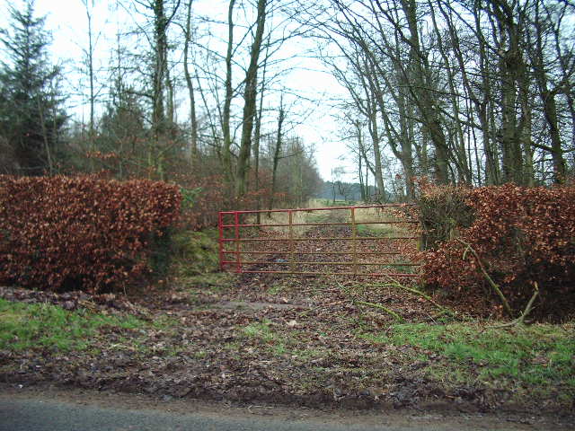
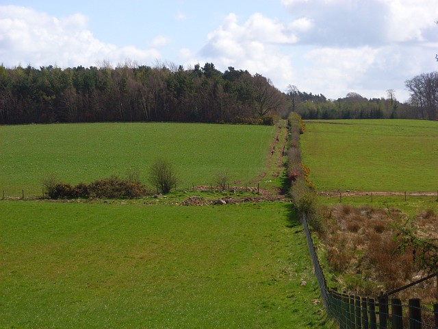
Burble Wood Images
Images are sourced within 2km of 54.79477/-2.8827494 or Grid Reference NY4344. Thanks to Geograph Open Source API. All images are credited.


Burble Wood is located at Grid Ref: NY4344 (Lat: 54.79477, Lng: -2.8827494)
Administrative County: Cumbria
District: Eden
Police Authority: Cumbria
What 3 Words
///joys.hurt.loafer. Near Dalston, Cumbria
Nearby Locations
Related Wikis
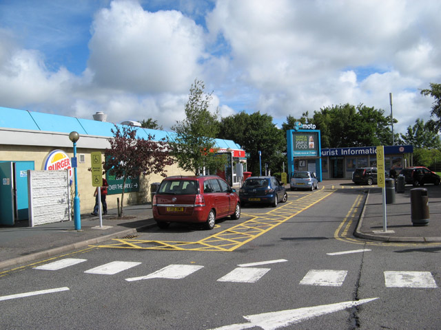
Southwaite Services
Southwaite services is a motorway service station, between junctions 41 and 42 of the M6 motorway near Southwaite, Cumbria, England. It is about 7 miles...

Southwaite railway station
Southwaite railway station in Hesket parish, was situated on the Lancaster and Carlisle Railway (the West Coast Main Line) between Carlisle and Penrith...

Southwaite
Southwaite is a small village in the parish of Hesket, in the Eden District, in the English county of Cumbria. == Location == It is located on a minor...
Ivegill
Ivegill is a small village in Cumbria, England. The village has one place of worship and a school. It is located on an unclassified road near Southwaite...
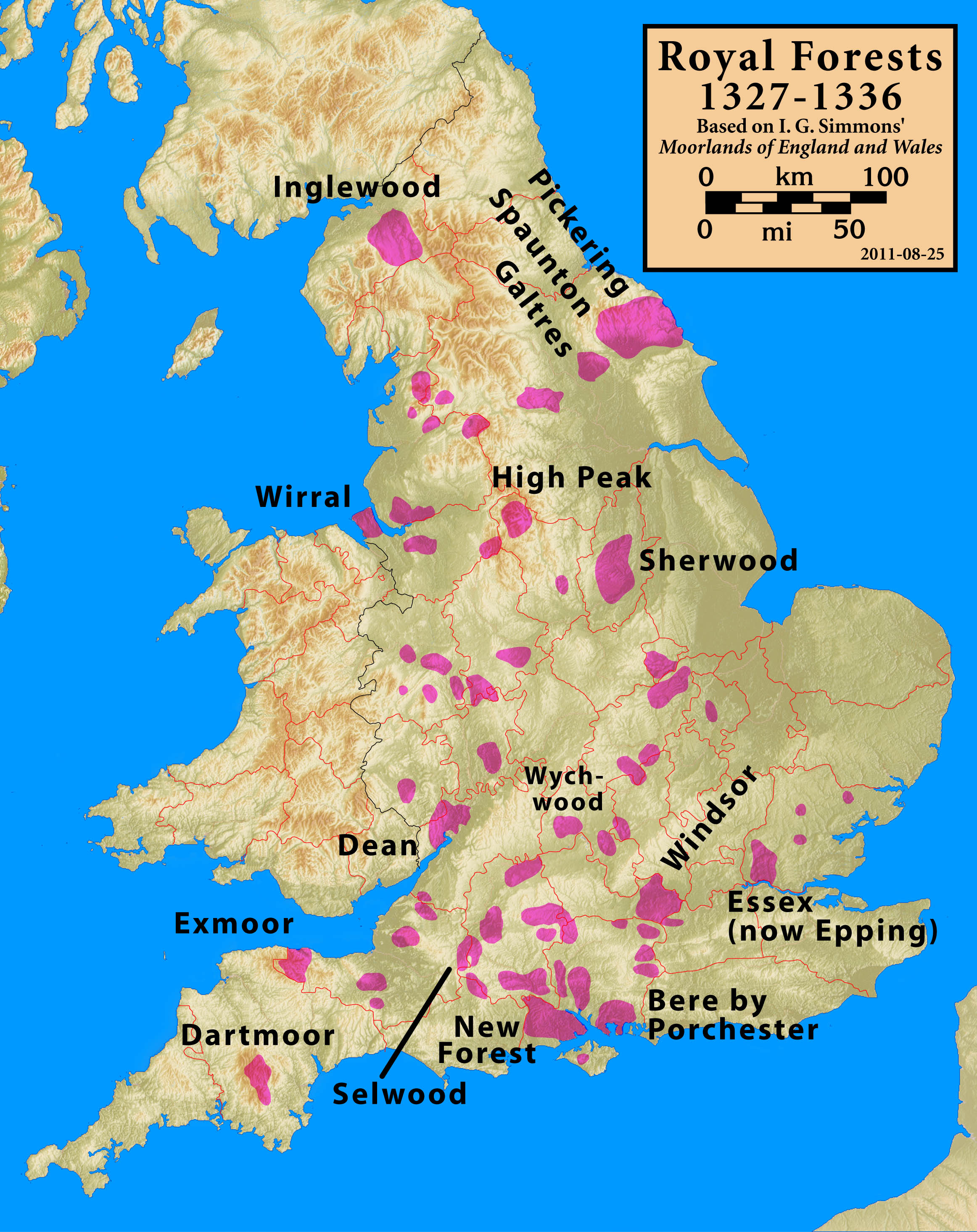
Inglewood Forest
Inglewood Forest is a large tract of mainly arable and dairy farm land with a few small woodland areas between Carlisle and Penrith in the English non...

High Head Castle
High Head Castle is a large fortified manor house in the English county of Cumbria. It is located between Carlisle and Penrith. The house is now largely...
Low Hesket
Low Hesket is a village in the English county of Cumbria. Low Hesket is on the A6 road 8+1⁄2 miles (13.7 km) south of Carlisle. This is a former Roman...
River Ive
The River Ive is a river in the county of Cumbria, England. The Ive rises near the settlement of Hutton End and flows north-north-west, through Ivegill...
Nearby Amenities
Located within 500m of 54.79477,-2.8827494Have you been to Burble Wood?
Leave your review of Burble Wood below (or comments, questions and feedback).