Calfclose Wood

Wood, Forest in Westmorland South Lakeland

England

Calfclose Wood

Charcoal kiln, Wakebarrow Converting recently harvested wood into charcoal using an iron kiln.
Charcoal kiln, Wakebarrow Credit: Karl and Ali

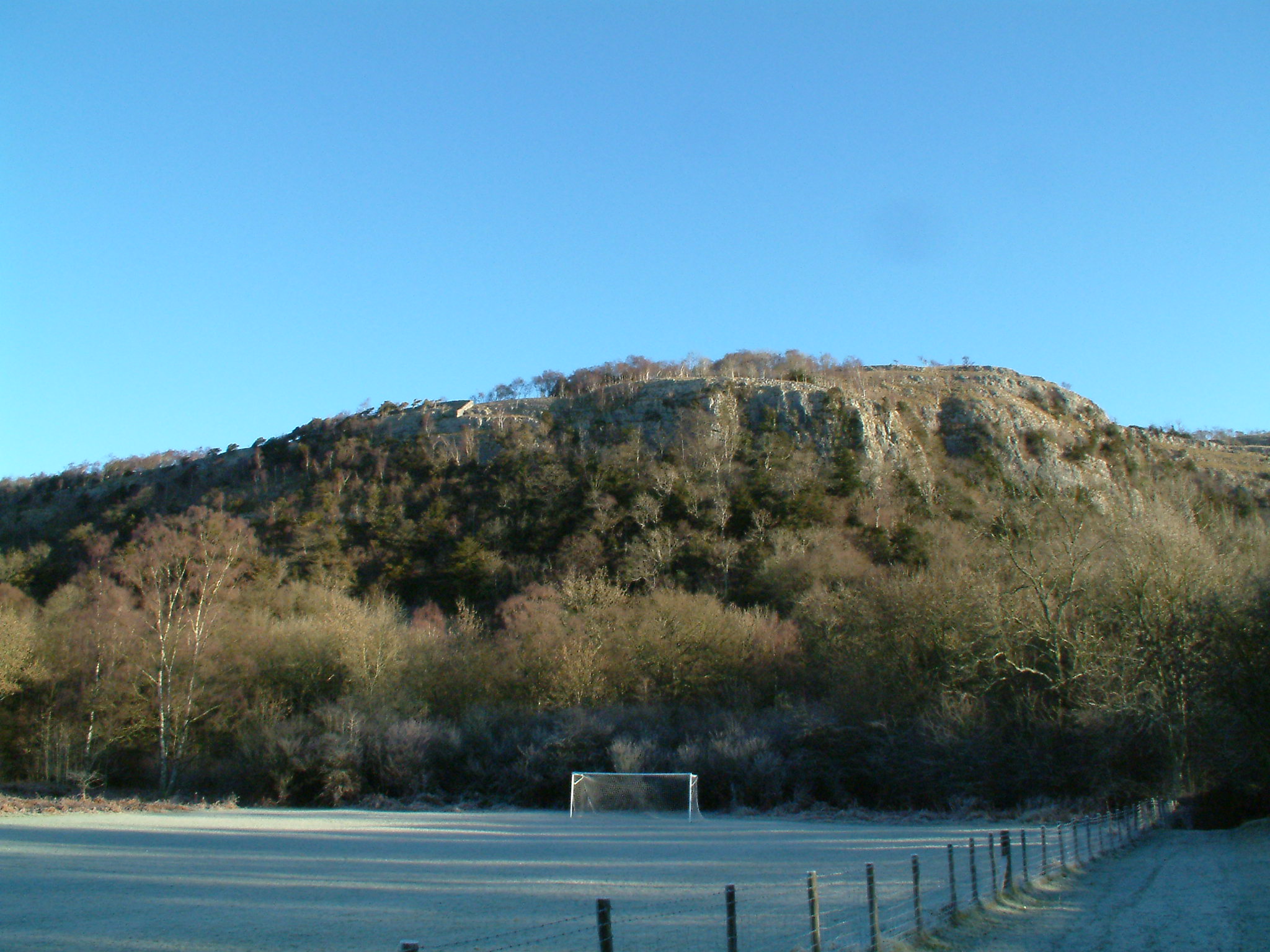
Calfclose Wood is a picturesque woodland located in the region of Westmorland, in the northwestern part of England. Covering an area of approximately 50 acres, this enchanting forest is known for its natural beauty and diverse range of flora and fauna.

The wood is primarily composed of broad-leaved trees, including oak, beech, and birch, which create a dense canopy that filters sunlight and creates a cool, tranquil atmosphere. The forest floor is carpeted with an abundance of wildflowers, ferns, and mosses, adding to the overall charm of the woodland.

Calfclose Wood is home to a variety of wildlife, making it a popular destination for nature enthusiasts and photographers. Birdwatchers can spot a wide range of species, such as woodpeckers, owls, and various songbirds, while small mammals like foxes, badgers, and squirrels can often be seen scurrying through the undergrowth. The wood is also known for its thriving population of butterflies, which flutter through the sun-dappled glades during the summer months.

Visitors to Calfclose Wood can explore a network of well-maintained walking trails that wind through the forest, allowing them to fully immerse themselves in the tranquility and natural beauty of the surroundings. The wood also features a picnic area, providing a perfect spot for visitors to relax and enjoy a leisurely outdoor meal while soaking in the peaceful ambiance.

Calfclose Wood is a true gem of Westmorland, offering a serene escape from the hustle and bustle of everyday life, and providing a haven for both nature lovers and those seeking a peaceful retreat in the heart of nature.

If you have any feedback on the listing, please let us know in the comments section below.

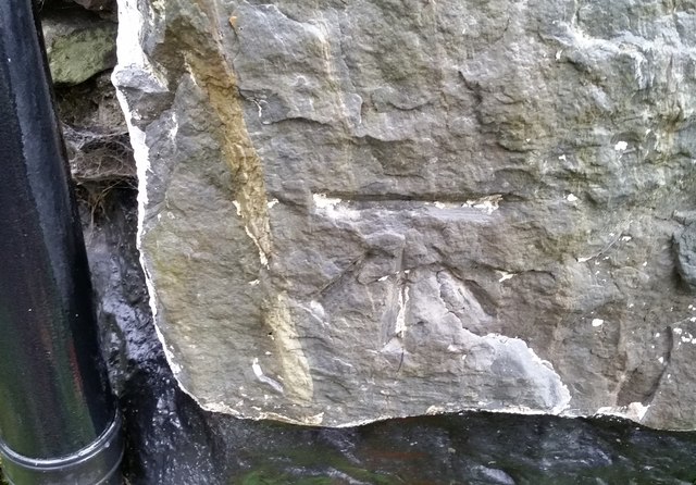
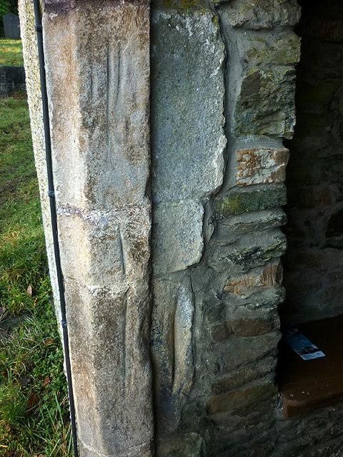
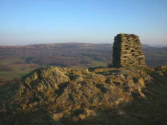
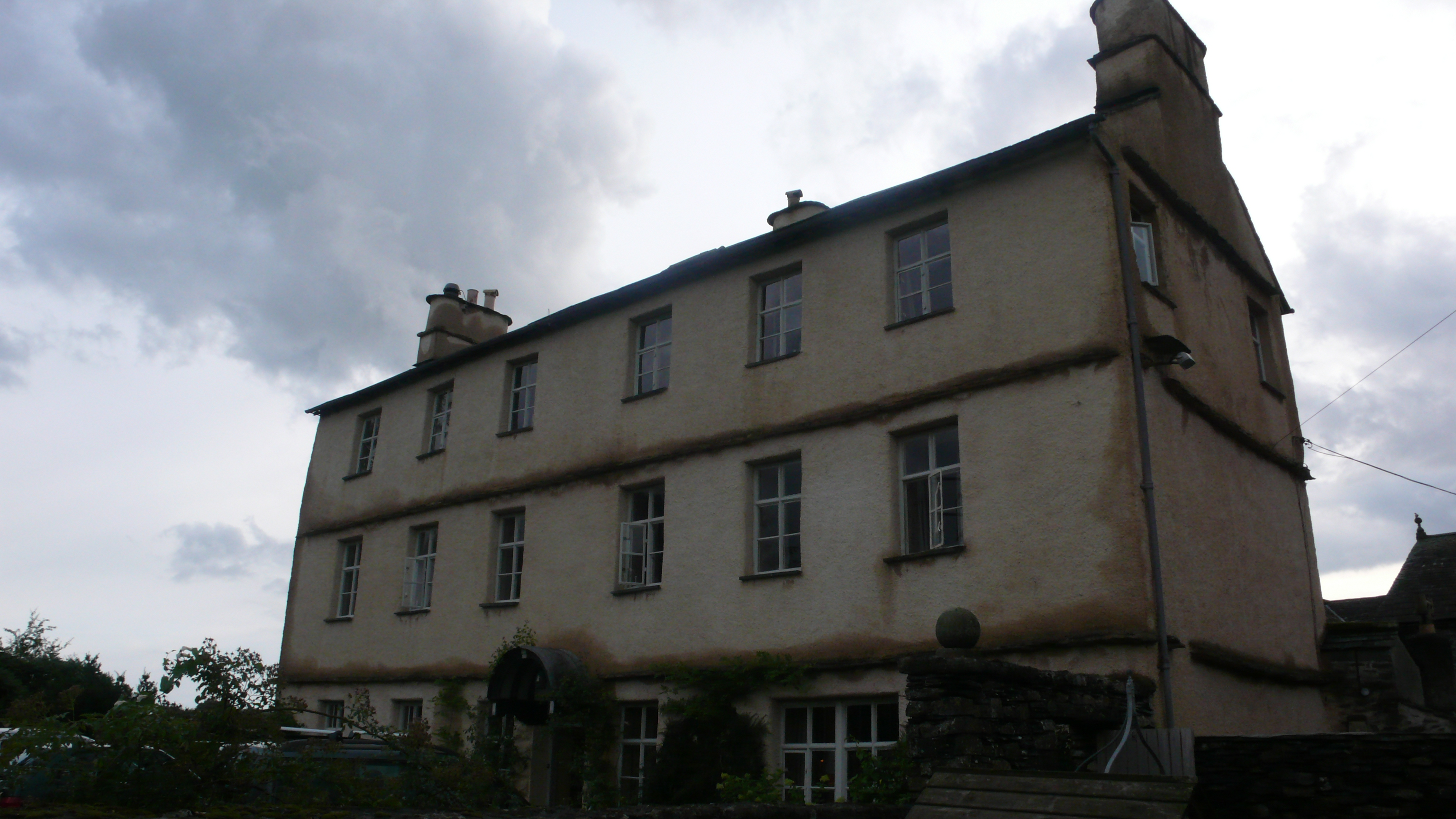
Calfclose Wood Images

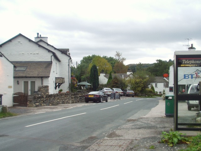
Images are sourced within 2km of 54.285821/-2.8735184 or Grid Reference SD4388. Thanks to Geograph Open Source API. All images are credited.

Charcoal kiln, Wakebarrow Converting recently harvested wood into charcoal using an iron kiln.
Charcoal kiln, Wakebarrow
Converting recently harvested wood into charcoal using an iron kiln.
Wakebarrow Pot entrance, Whitbarrow There is little known cave development on Whitbarrow despite the considerable thickness of Carboniferous limestone available. This is the closest local equivalent to the deep systems of the nearby Yorkshire Dales. A small seepage stream sinks nearby and in wet weather reaches the restricted entrance. It was explored in 1964 by the Red Rose Cave & Pothole Club to a low crawl a few metres inside. This was extended in 1982 (by the Bishop Auckland Caving Club) through to 15m and 5m vertical pitches into a large chamber at a depth of 32m. So far, this seems to remain the limit despite the obvious potential for further depth. It isn't known if the water has been traced to link it with potential resurgences but obvious possible destinations are <a href="https://www.geograph.org.uk/photo/2655296">SD4387 : Fairies' Cave (Pool Bank Cave)</a> or <a href="https://www.geograph.org.uk/photo/4829035">SD4484 : Beck Head rising</a>. If I was still an active caver this would be an obvious target for 'pushing'.
Wakebarrow Pot entrance, Whitbarrow
There is little known cave development on Whitbarrow despite the considerable thickness of Carboniferous limestone available. This is the closest local equivalent to the deep systems of the nearby Yorkshire Dales. A small seepage stream sinks nearby and in wet weather reaches the restricted entrance. It was explored in 1964 by the Red Rose Cave & Pothole Club to a low crawl a few metres inside. This was extended in 1982 (by the Bishop Auckland Caving Club) through to 15m and 5m vertical pitches into a large chamber at a depth of 32m. So far, this seems to remain the limit despite the obvious potential for further depth. It isn't known if the water has been traced to link it with potential resurgences but obvious possible destinations are SD4387 : Fairies' Cave (Pool Bank Cave) or SD4484 : Beck Head rising. If I was still an active caver this would be an obvious target for 'pushing'.
Inside Wakebarrow Pot This is looking down through a narrow 'squeeze' just inside <a href="https://www.geograph.org.uk/photo/4620789">SD4487 : Wakebarrow Pot entrance, Whitbarrow</a>. Going in feet-first a ledge can be gained (on the right), from where a small chamber can be reached - just visible beyond. That's as far as I fancied going with just a small head torch. From there a low crawl leads to vertical drops into a big chamber. About 20 years ago I attempted to descend these but could not locate any reasonable anchors to tie a rope to without rubbing points on the sharp limestone.
Inside Wakebarrow Pot
This is looking down through a narrow 'squeeze' just inside SD4487 : Wakebarrow Pot entrance, Whitbarrow. Going in feet-first a ledge can be gained (on the right), from where a small chamber can be reached - just visible beyond. That's as far as I fancied going with just a small head torch. From there a low crawl leads to vertical drops into a big chamber. About 20 years ago I attempted to descend these but could not locate any reasonable anchors to tie a rope to without rubbing points on the sharp limestone.
Lord's Seat, Whitbarrow A large memorial cairn adorns Lord's Seat at about 215m, the highest point on the limestone massif of Whitbarrow. There are extensive views in most directions. Northwards are the higher fells of the eastern Lake District.
Lord's Seat, Whitbarrow
A large memorial cairn adorns Lord's Seat at about 215m, the highest point on the limestone massif of Whitbarrow. There are extensive views in most directions. Northwards are the higher fells of the eastern Lake District.
Limestone outcrop, Whitbarrow 'Whitbarrow' means 'white hill' and when the sun shines on outcrops on the open ridge, it's easy to see why. Dark mats of low-growing juniper reflect the exposed location.
Limestone outcrop, Whitbarrow
'Whitbarrow' means 'white hill' and when the sun shines on outcrops on the open ridge, it's easy to see why. Dark mats of low-growing juniper reflect the exposed location.
Blue butterfly and red beetle, Whitbarrow NNR I think this is a Common Blue butterfly and a Red-headed Cardinal beetle.
Blue butterfly and red beetle, Whitbarrow NNR
I think this is a Common Blue butterfly and a Red-headed Cardinal beetle.
On Lord's Seat, Whitbarrow Sun on the summit of the 'white hill' with its large memorial cairn. The higher Lakeland fells to the north are overcast and gloomy.
On Lord's Seat, Whitbarrow
Sun on the summit of the 'white hill' with its large memorial cairn. The higher Lakeland fells to the north are overcast and gloomy.
Winter sun on Whitbarrow
Walkers on northern Whitbarrow The snow-capped Coniston fells beyond.
Walkers on northern Whitbarrow
The snow-capped Coniston fells beyond.
Still hanging in there, Township Allotment An isolated stunted tree that I first visited in October, 2011 <a href="https://www.geograph.org.uk/photo/2656243">SD4488 : A tree barely surviving, Township Allotment</a> continues to defy the elements and cling to life. Today, conditions were relatively benign with warmth and sunshine after days of persistent rain.
Still hanging in there, Township Allotment
An isolated stunted tree that I first visited in October, 2011 SD4488 : A tree barely surviving, Township Allotment continues to defy the elements and cling to life. Today, conditions were relatively benign with warmth and sunshine after days of persistent rain.
North west from Whitbarrow The view over the environs of the Winster Valley from the western edge of the northern Whitbarrow plateau. In the foreground is typical pastoral and sylvan Silurian country with the wilder high fell country of the Borrowdale volcanic rocks beyond.
North west from Whitbarrow
The view over the environs of the Winster Valley from the western edge of the northern Whitbarrow plateau. In the foreground is typical pastoral and sylvan Silurian country with the wilder high fell country of the Borrowdale volcanic rocks beyond.
Cut benchmark at Low House At an altitude of 28.982m asl.
Cut benchmark at Low House
At an altitude of 28.982m asl.
Broad Oak South Lakeland farmstead below the steep western escarpment of Whitbarrow. The Coniston fells rise beyond the wooded flanks of the Winster Valley.
Broad Oak
South Lakeland farmstead below the steep western escarpment of Whitbarrow. The Coniston fells rise beyond the wooded flanks of the Winster Valley.
Fell Edge Aptly-named large stone dwelling below Whitbarrow Scar.
Fell Edge
Aptly-named large stone dwelling below Whitbarrow Scar.
Ordnance Survey Cut Mark This OS cut mark can be found on the roadside building at Blewthwaite. It marks a point 63.110m above mean sea level.
Ordnance Survey Cut Mark
This OS cut mark can be found on the roadside building at Blewthwaite. It marks a point 63.110m above mean sea level.
Worn grooves, porch of Cartmel Fell Church Grooves worn in the stonework on both sides of the porch are reputed to be where bowmen of the parish sharpened their arrows during archery practice.
Worn grooves, porch of Cartmel Fell Church
Grooves worn in the stonework on both sides of the porch are reputed to be where bowmen of the parish sharpened their arrows during archery practice.
The monument on Raven's Barrow The purpose of the monument (if there ever was one) is no longer apparent, there being no inscription apart from very old graffiti. Despite the lowly height the view is excellent over the valley towards Whitbarrow.
The monument on Raven's Barrow
The purpose of the monument (if there ever was one) is no longer apparent, there being no inscription apart from very old graffiti. Despite the lowly height the view is excellent over the valley towards Whitbarrow.
Whitbarrow from the air A Site of Special Scientific Interest and a national nature reserve <span class="nowrap"><a title="https://en.wikipedia.org/wiki/Whitbarrow" rel="nofollow ugc noopener" href="https://en.wikipedia.org/wiki/Whitbarrow">Link</a><img style="margin-left:2px;" alt="External link" title="External link - shift click to open in new window" src="https://s1.geograph.org.uk/img/external.png" width="10" height="10"/></span> .
Whitbarrow from the air
A Site of Special Scientific Interest and a national nature reserve LinkExternal link .
Show me another place!

Calfclose Wood is located at Grid Ref: SD4388 (Lat: 54.285821, Lng: -2.8735184)

Administrative County: Cumbria

District: South Lakeland

Police Authority: Cumbria

What 3 Words

///giving.niece.perusing. Near Kendal, Cumbria

Related Wikis

Nearby Amenities

Located within 500m of 54.285821,-2.8735184
Barrier: stile
Stile: stepover
Lat/Long: 54.2868636/-2.8810044
Pool Bank
Place: hamlet
Lat/Long: 54.2829529/-2.8767996
The data included in this document is from www.openstreetmap.org. The data is made available under ODbL.

Have you been to Calfclose Wood?

Leave your review of Calfclose Wood below (or comments, questions and feedback).