Brickshed Wood
Wood, Forest in Herefordshire
England
Brickshed Wood

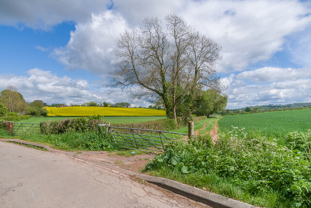
Brickshed Wood is a picturesque woodland located in Herefordshire, a county in the West Midlands region of England. Covering an area of approximately 50 acres, it is nestled in the heart of the county's stunning countryside, offering visitors a serene and tranquil escape from the bustle of everyday life.
The wood is primarily composed of a mix of broadleaf trees, including oak, beech, and birch, which create a dense and lush canopy overhead. This rich diversity of tree species provides a haven for a wide range of wildlife, such as deer, squirrels, and various bird species, making it a popular destination for nature enthusiasts and bird watchers.
A network of well-maintained footpaths and trails wind their way through the wood, allowing visitors to explore its beauty at their own pace. As they wander along the paths, visitors can enjoy the sights and sounds of the wood, including the gentle rustling of leaves, the scent of wildflowers, and the occasional sighting of woodland creatures.
Brickshed Wood also boasts a small stream that meanders through its heart, adding to its charm and providing a tranquil spot for visitors to relax and immerse themselves in nature. The stream is home to a variety of aquatic life, including small fish and amphibians, further enhancing the woodland's ecological importance.
Overall, Brickshed Wood is a hidden gem in Herefordshire, offering visitors the opportunity to connect with nature and immerse themselves in the beauty of the English countryside.
If you have any feedback on the listing, please let us know in the comments section below.
Brickshed Wood Images
Images are sourced within 2km of 51.990352/-2.8290014 or Grid Reference SO4332. Thanks to Geograph Open Source API. All images are credited.


Brickshed Wood is located at Grid Ref: SO4332 (Lat: 51.990352, Lng: -2.8290014)
Unitary Authority: County of Herefordshire
Police Authority: West Mercia
What 3 Words
///scarecrow.brick.notebook. Near Thruxton, Herefordshire
Nearby Locations
Related Wikis

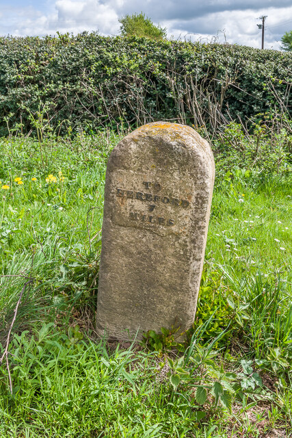
Treville, Herefordshire
Treville (called in Welsh Trefelin) is a rural area and former royal forest in the English county of Herefordshire. It is near Wormbridge and other small...
Wormbridge
Wormbridge is a village and former civil parish in Herefordshire, England, about eight miles south-west of Hereford, on the A465 road at (SO423316). The...

Thruxton, Herefordshire
Thruxton is a small rural village and civil parish in Herefordshire, England. It is located within the historic area of Archenfield, near the Welsh border...
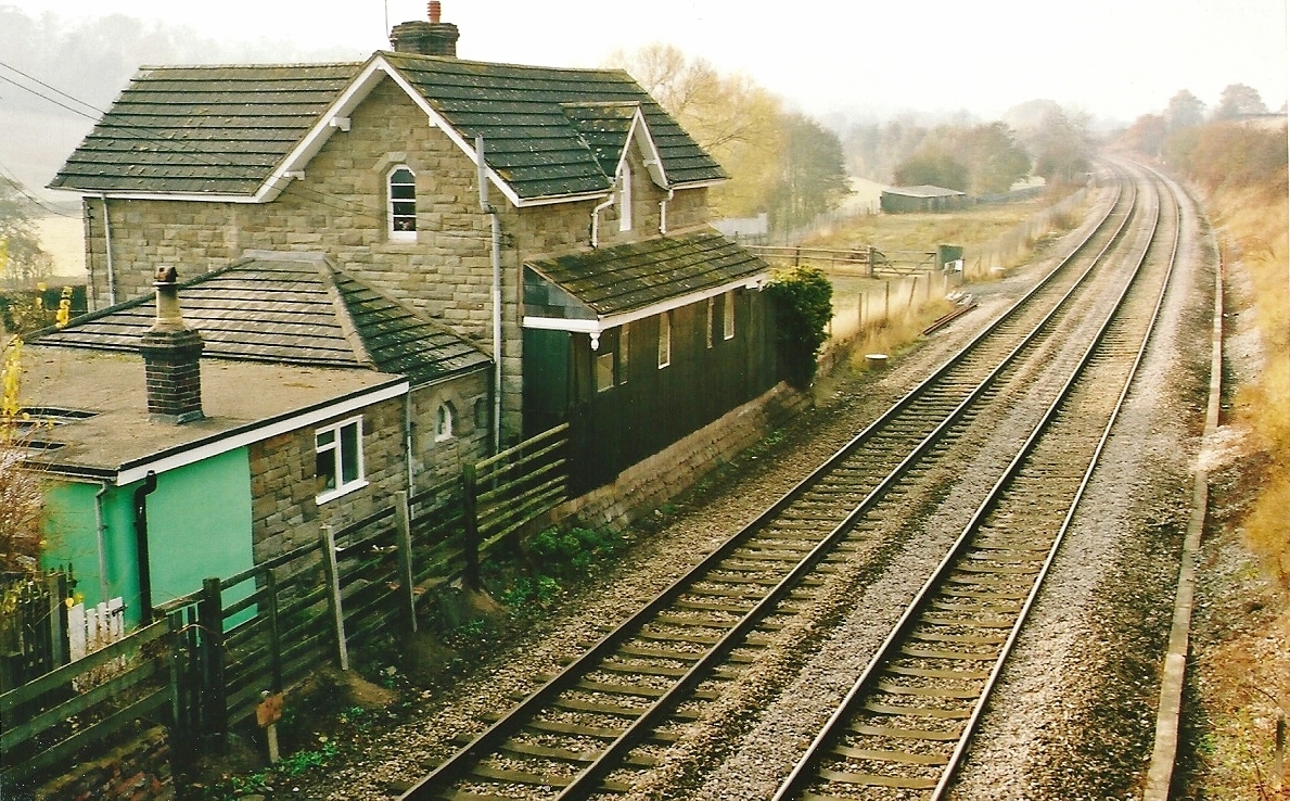
St Devereux railway station
St Devereux railway station was a station in Kilpeck, Herefordshire, England. The station was opened in 1854 and closed in 1958. == References == ��2...
Kingstone, Herefordshire
Kingstone is a civil parish and a large village in rural Herefordshire, England. It lies within the historic area of Archenfield, near the Welsh border...
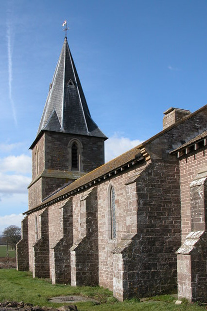
Church of St Mary and St David, Kilpeck
The Church of St Mary and St David is a Church of England parish church at Kilpeck in the English county of Herefordshire, about 5 miles from the border...
Kilpeck
Kilpeck (Welsh: Llanddewi Cil Peddeg) is a village and civil parish in the county of Herefordshire, England. It is about nine miles (14 km) southwest of...
Kilpeck Priory
Kilpeck Priory was a Benedictine priory in Kilpeck, Herefordshire, England, at grid reference SO448303.In 1134, William, son of Norman, gave the church...
Nearby Amenities
Located within 500m of 51.990352,-2.8290014Have you been to Brickshed Wood?
Leave your review of Brickshed Wood below (or comments, questions and feedback).