Beeches Plantation
Wood, Forest in Cumberland Carlisle
England
Beeches Plantation

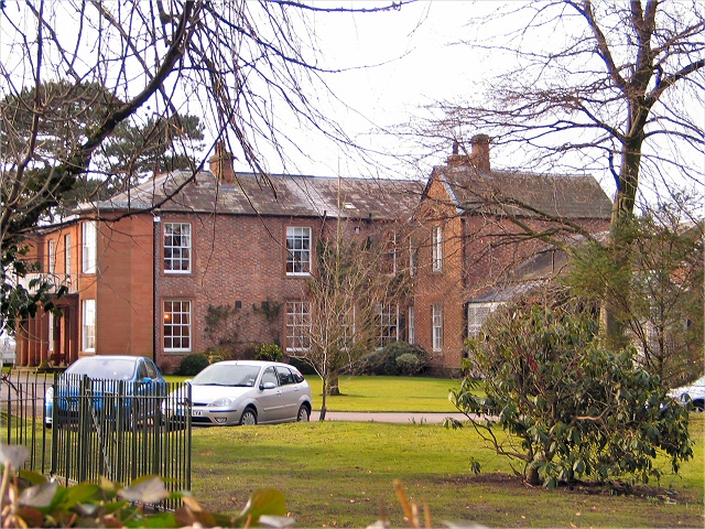
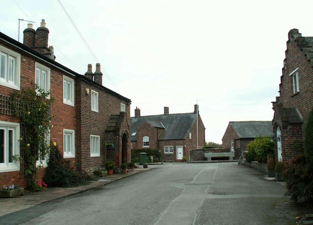
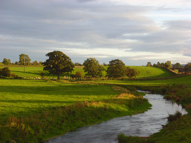
Beeches Plantation is a sprawling woodland located in Cumberland, a county in the region of Wood, Forest. The plantation is known for its dense concentration of beech trees, which dominate the landscape and provide a picturesque and serene environment for visitors to explore. Covering an area of several hectares, Beeches Plantation is a popular destination for nature enthusiasts, hikers, and photographers.
The plantation features a well-maintained network of walking trails that wind through the forest, allowing visitors to immerse themselves in the natural beauty of the surroundings. The trails offer varying levels of difficulty, catering to both casual walkers and more experienced hikers. Along the way, visitors can enjoy the peaceful ambiance, as well as observe the diverse flora and fauna that call the plantation home.
With its dense canopy of beech trees, Beeches Plantation offers a cool and shady retreat during the summer months, making it an ideal destination for those seeking respite from the heat. In the autumn, the plantation transforms into a kaleidoscope of colors as the beech leaves change to vibrant shades of orange, red, and gold.
Aside from its natural beauty, Beeches Plantation also holds historical significance. It is believed to have been in existence for centuries, and remnants of old structures and artifacts can still be found within its boundaries. These remnants serve as a reminder of the area's rich cultural heritage and the role the plantation played in the community.
Overall, Beeches Plantation in Cumberland is a captivating destination that offers a perfect blend of natural splendor and historical charm, making it a must-visit location for anyone seeking a tranquil escape in the heart of Wood, Forest.
If you have any feedback on the listing, please let us know in the comments section below.
Beeches Plantation Images
Images are sourced within 2km of 54.905805/-2.904221 or Grid Reference NY4257. Thanks to Geograph Open Source API. All images are credited.


Beeches Plantation is located at Grid Ref: NY4257 (Lat: 54.905805, Lng: -2.904221)
Administrative County: Cumbria
District: Carlisle
Police Authority: Cumbria
What 3 Words
///roof.level.submit. Near Carlisle, Cumbria
Nearby Locations
Related Wikis
Rickerby
Rickerby is a village in the civil parish of Stanwix Rural, in the City of Carlisle district, in the county of Cumbria, England. It is situated near Carlisle...

Rickerby Park
Rickerby Park is a public open space in Carlisle, Cumbria on the banks of the River Eden. The parkland is dotted with mature trees, beneath which cattle...

Whiteclosegate
Whiteclosegate is a hamlet in the Carlisle district of the county of Cumbria, England. == Location == It is on the B6264 road. Nearby settlements include...
River Petteril
The River Petteril is a river running through the English county of Cumbria. The source of the Petteril is near Penruddock and Motherby, from where the...

Brunton Park
Brunton Park is a football stadium and the home of Carlisle United. It is situated in the city of Carlisle and has a certified capacity of 17,949. The...
Linstock, Cumbria
Linstock is a village in the civil parish of Stanwix Rural, in the Carlisle District, in the county of Cumbria, England. It is a few miles away from the...

Hadrian's Camp
Hadrian's Camp was a military installation on the line of Hadrian's Wall at Houghton in Cumbria, England. == History == The camp was established, in 1939...

Milecastle 65
Milecastle 65 (Tarraby) was a milecastle on Hadrian's Wall (grid reference NY40855793). == Description == Milecastle 65 is on a west-facing slope 150 metres...
Nearby Amenities
Located within 500m of 54.905805,-2.904221Have you been to Beeches Plantation?
Leave your review of Beeches Plantation below (or comments, questions and feedback).