Big Wood
Wood, Forest in Herefordshire
England
Big Wood

Big Wood is a picturesque forest located in Herefordshire, a county in the West Midlands region of England. Spanning over a vast area, this woodland is renowned for its natural beauty and diverse ecosystem. The wood is situated in the heart of Herefordshire, surrounded by rolling hills and charming countryside.
Big Wood is predominantly composed of mature oak and beech trees, creating a dense canopy that provides shelter for a wide range of flora and fauna. The forest floor is adorned with an array of wildflowers, ferns, and mosses, adding to its enchanting atmosphere. The wood is also home to various species of birds, including woodpeckers, owls, and songbirds, which fill the air with their melodious calls.
In addition to its exceptional natural features, Big Wood offers several recreational opportunities for visitors. There are numerous walking trails that wind through the forest, allowing visitors to explore its hidden corners and discover its hidden treasures. These paths are well-maintained and suitable for all ages and fitness levels.
Throughout the year, Big Wood hosts a variety of events and activities, such as guided nature walks, birdwatching sessions, and forest craft workshops. These events provide an excellent opportunity for visitors to learn more about the local wildlife and immerse themselves in the tranquility of the woodland.
Whether it is for a leisurely stroll, a family outing, or an educational experience, Big Wood in Herefordshire offers a captivating environment where visitors can connect with nature and appreciate the beauty of the natural world.
If you have any feedback on the listing, please let us know in the comments section below.
Big Wood Images
Images are sourced within 2km of 51.987233/-2.8453118 or Grid Reference SO4232. Thanks to Geograph Open Source API. All images are credited.


Big Wood is located at Grid Ref: SO4232 (Lat: 51.987233, Lng: -2.8453118)
Unitary Authority: County of Herefordshire
Police Authority: West Mercia
What 3 Words
///brightens.tumblers.remission. Near Thruxton, Herefordshire
Nearby Locations
Related Wikis

Treville, Herefordshire
Treville (called in Welsh Trefelin) is a rural area and former royal forest in the English county of Herefordshire. It is near Wormbridge and other small...
Wormbridge
Wormbridge is a village and former civil parish in Herefordshire, England, about eight miles south-west of Hereford, on the A465 road at (SO423316). The...
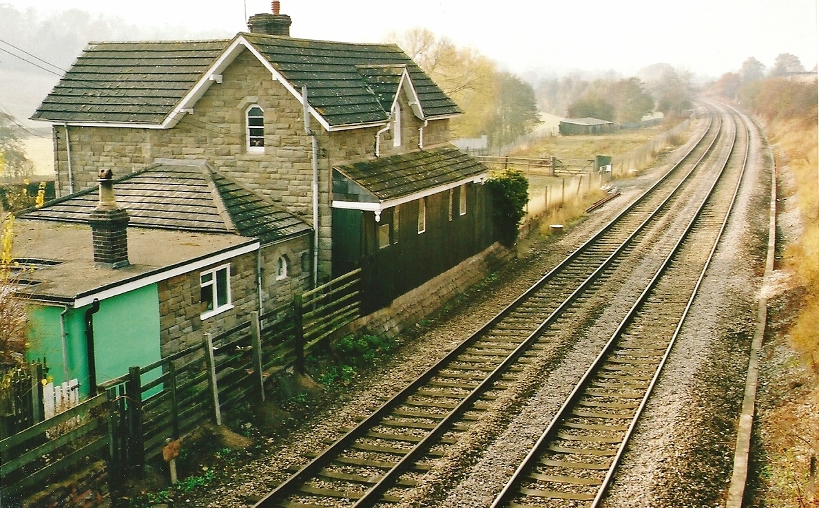
St Devereux railway station
St Devereux railway station was a station in Kilpeck, Herefordshire, England. The station was opened in 1854 and closed in 1958. == References == ��2...

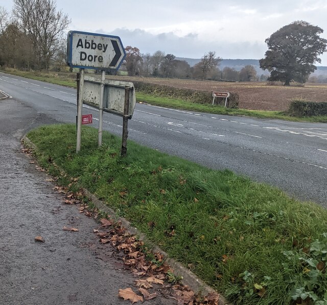
Thruxton, Herefordshire
Thruxton is a small rural village and civil parish in Herefordshire, England. It is located within the historic area of Archenfield, near the Welsh border...
Kingstone, Herefordshire
Kingstone is a civil parish and a large village in rural Herefordshire, England. It lies within the historic area of Archenfield, near the Welsh border...
Kilpeck
Kilpeck (Welsh: Llanddewi Cil Peddeg) is a village and civil parish in the county of Herefordshire, England. It is about nine miles (14 km) southwest of...
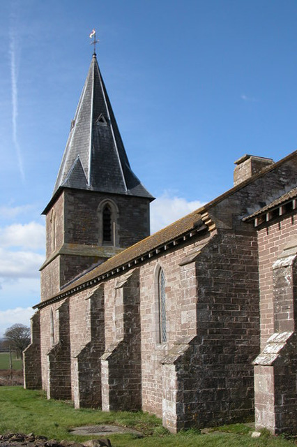
Church of St Mary and St David, Kilpeck
The Church of St Mary and St David is a Church of England parish church at Kilpeck in the English county of Herefordshire, about 5 miles from the border...

Pontrilas Army Training Area
Pontrilas Army Training Area is a British Army training camp, located just north of the village of Ewyas Harold near to Pontrilas in Herefordshire, England...
Nearby Amenities
Located within 500m of 51.987233,-2.8453118Have you been to Big Wood?
Leave your review of Big Wood below (or comments, questions and feedback).