Tilekiln Wood

Wood, Forest in Cumberland Carlisle

England

Tilekiln Wood

Hedge-lined minor road approaching Heatheryknowe Looking south-eastward.
Hedge-lined minor road approaching Heatheryknowe Credit: Peter Wood

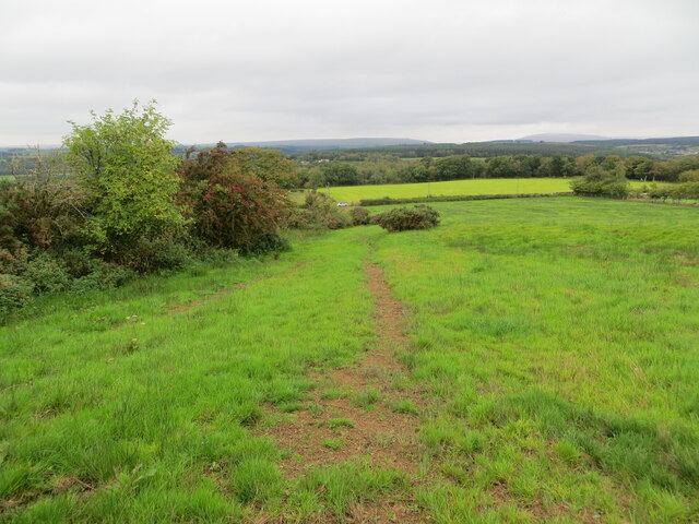
Tilekiln Wood is a picturesque woodland located in Cumberland, England. Covering an area of approximately 50 acres, it is a well-preserved example of a mixed deciduous forest. Situated on the outskirts of the small village of Tilekiln, the wood is easily accessible and attracts visitors from both local communities and tourists alike.

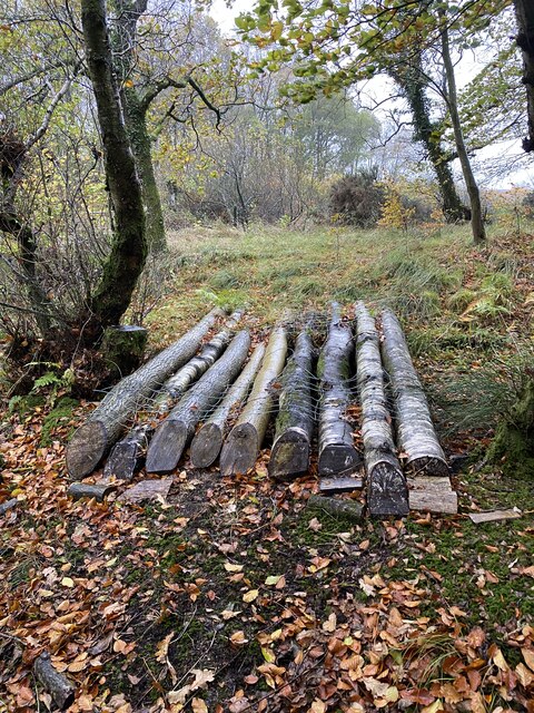
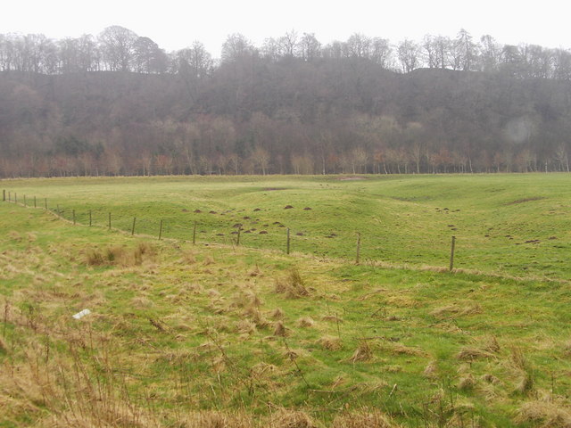
The wood is characterized by a diverse array of tree species, including oak, beech, ash, and birch. These tall, majestic trees create a dense canopy that provides shade and shelter for a variety of wildlife. The forest floor is carpeted with a rich layer of leaf litter, creating a vibrant habitat for small mammals, insects, and fungi.

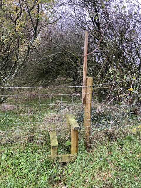
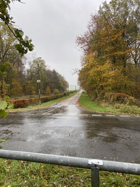
Walking through Tilekiln Wood, visitors can enjoy the tranquility and serenity of nature. The air is filled with the soothing sounds of birdsong and the rustling of leaves underfoot. A network of well-marked trails crisscrosses the wood, allowing visitors to explore its various corners and discover hidden treasures.

The wood is also home to a diverse range of wildlife. Deer, foxes, and rabbits can often be spotted roaming freely among the trees, while squirrels dart through the branches above. The wood is particularly known for its bird population, with species such as woodpeckers, jays, and owls making it their habitat.

Tilekiln Wood offers a peaceful retreat for nature lovers, providing a haven where one can escape the hustle and bustle of everyday life. Whether for a leisurely stroll, bird watching, or simply enjoying the beauty of the natural surroundings, this woodland is a must-visit destination for anyone seeking a connection with nature in Cumberland.

If you have any feedback on the listing, please let us know in the comments section below.

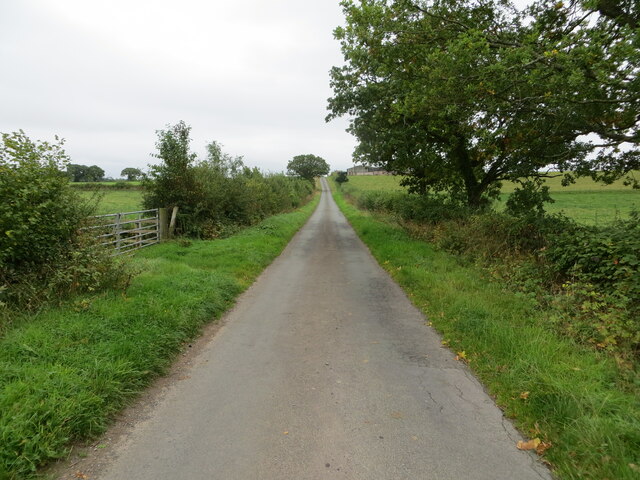
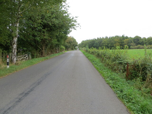
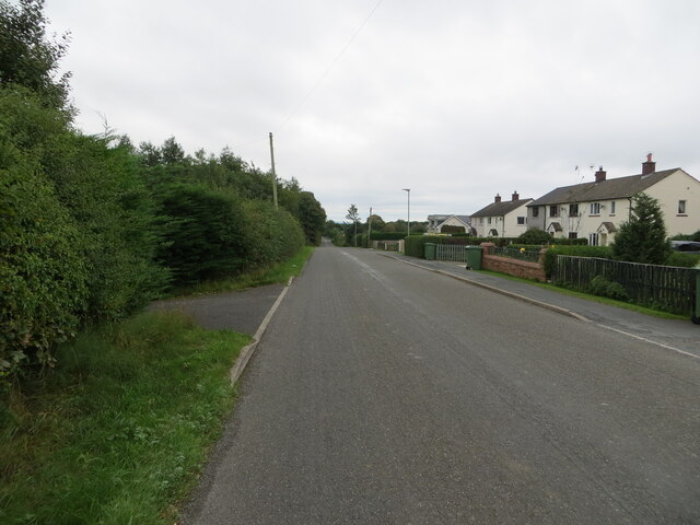
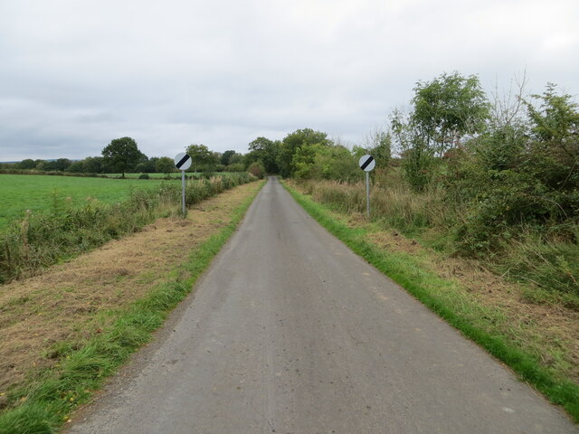
Tilekiln Wood Images

Images are sourced within 2km of 55.060283/-2.9104876 or Grid Reference NY4174. Thanks to Geograph Open Source API. All images are credited.

Hedge-lined minor road approaching Heatheryknowe Looking south-eastward.
Hedge-lined minor road approaching Heatheryknowe
Looking south-eastward.
Tree and hedge-lined minor road heading towards Kirkandrews Moat Looking north-eastward.
Tree and hedge-lined minor road heading towards Kirkandrews Moat
Looking north-eastward.
Road at Kirkandrews Moat Looking south-westward.
Road at Kirkandrews Moat
Looking south-westward.
Minor road leaving Kirkandrews Moat near to Riddingshill Looking north-eastward.
Minor road leaving Kirkandrews Moat near to Riddingshill
Looking north-eastward.
Field edge footpath near to Skurrlywarble Wood Looking north-westward.
Field edge footpath near to Skurrlywarble Wood
Looking north-westward.
Road at Hilltop Farm Looking north-eastward.
Road at Hilltop Farm
Looking north-eastward.
Hedge enclosed road near to Hilltop Farm Looking south-westward.
Hedge enclosed road near to Hilltop Farm
Looking south-westward.
Road at the entrance to Low Glendinning Rigg Looking north-eastward.
Road at the entrance to Low Glendinning Rigg
Looking north-eastward.
Stile over substance Path none existent on the ground so very surprised to find a stile
Stile over substance
Path none existent on the ground so very surprised to find a stile
Ruin near Hilltop Trig Point Flush Bracket S6616
Hilltop Trig Point Flush Bracket S6616
'Path' through Skurrlywarble wood
Skurrlywarble wood
Skurrlywarble wood
'Bridge'
'Bridge'
View to High Planes Road
Old Milestone by Moat Vale Metal plate attached to stone post by the UC road, in parish of KIRKANDREWS (CARLISLE District), Moat Common, Carwinley, on grass verge, on East side of road. Carlisle round iron plate, erected by the Longtown, Snab & Haithwaite Bridge turnpike trust in the 19th century. 

Inscription reads:-
CARLISLE
12
MILES
-

Grade II Listed. List Entry Number: 1205452
<span class="nowrap"><a title="https://historicengland.org.uk/listing/the-list/list-entry/1205452" rel="nofollow ugc noopener" href="https://historicengland.org.uk/listing/the-list/list-entry/1205452">Link</a><img style="margin-left:2px;" alt="External link" title="External link - shift click to open in new window" src="https://s1.geograph.org.uk/img/external.png" width="10" height="10"/></span>

Milestone Society National ID: CU_CLHW12.
Old Milestone by Moat Vale
Metal plate attached to stone post by the UC road, in parish of KIRKANDREWS (CARLISLE District), Moat Common, Carwinley, on grass verge, on East side of road. Carlisle round iron plate, erected by the Longtown, Snab & Haithwaite Bridge turnpike trust in the 19th century. Inscription reads:- CARLISLE 12 MILES - Grade II Listed. List Entry Number: 1205452 LinkExternal link Milestone Society National ID: CU_CLHW12.
Old Milestone north east of Tilekiln Wood Metal plate attached to stone post by the UC road, in parish of NICHOLFOREST (CARLISLE District), North East of Tilekiln Wood, on grass verge, on East side of road. Carlisle round iron plate, erected by the Longtown, Snab & Haithwaite Bridge turnpike trust in the 19th century. 

Inscription reads:-
CARLISLE
13
MILES
-
Carved benchmark on top face.

Grade II Listed. List Entry Number: 1205466
<span class="nowrap"><a title="https://historicengland.org.uk/listing/the-list/list-entry/1205466" rel="nofollow ugc noopener" href="https://historicengland.org.uk/listing/the-list/list-entry/1205466">Link</a><img style="margin-left:2px;" alt="External link" title="External link - shift click to open in new window" src="https://s1.geograph.org.uk/img/external.png" width="10" height="10"/></span>

Milestone Society National ID: CU_CLHW13.
Old Milestone north east of Tilekiln Wood
Metal plate attached to stone post by the UC road, in parish of NICHOLFOREST (CARLISLE District), North East of Tilekiln Wood, on grass verge, on East side of road. Carlisle round iron plate, erected by the Longtown, Snab & Haithwaite Bridge turnpike trust in the 19th century. Inscription reads:- CARLISLE 13 MILES - Carved benchmark on top face. Grade II Listed. List Entry Number: 1205466 LinkExternal link Milestone Society National ID: CU_CLHW13.
Old Milestone by Dykehead Metal plate attached to stone post by the UC road, in parish of NICHOLFOREST (CARLISLE District), Dykehead, on grass verge, on East side of road. Carlisle round iron plate, erected by the Longtown, Snab & Haithwaite Bridge turnpike trust in the 19th century. 

Inscription reads:-
CARLISLE
14
MILES
-

Milestone Society National ID: CU_CLHW14.
Old Milestone by Dykehead
Metal plate attached to stone post by the UC road, in parish of NICHOLFOREST (CARLISLE District), Dykehead, on grass verge, on East side of road. Carlisle round iron plate, erected by the Longtown, Snab & Haithwaite Bridge turnpike trust in the 19th century. Inscription reads:- CARLISLE 14 MILES - Milestone Society National ID: CU_CLHW14.
Show me another place!

Tilekiln Wood is located at Grid Ref: NY4174 (Lat: 55.060283, Lng: -2.9104876)

Administrative County: Cumbria

District: Carlisle

Police Authority: Cumbria

What 3 Words

///hopes.decently.almost. Near Longtown, Cumbria

Related Wikis

Riddings Junction railway station

Riddings Junction railway station was a railway station in Cumbria, England, from 1862 to 1967 on the Border Union Railway. == History == The station opened...

Liddel Strength

Liddel Strength is an ancient monument near Carwinley, Cumbria, in northwest England. It consists of the earthwork remains of an Anglo-Norman border fortification...

Carwinley

Carwinley is a hamlet in Cumbria, England, located on the border with Scotland. It was first mentioned in 1202 as Karwindelhov.The ancient monument of...

Liddel Water

Liddel Water is a river running through southern Scotland and northern England, for much of its course forming the border between the two countries, and...

Nearby Amenities

Located within 500m of 55.060283,-2.9104876
Power: pole
Lat/Long: 55.0568416/-2.9071812
Power: pole
Lat/Long: 55.0574412/-2.9085874
Power: pole
Lat/Long: 55.0580861/-2.9101397
Power: pole
Lat/Long: 55.0587762/-2.9117567
Power: pole
Lat/Long: 55.059041/-2.9127676
Power: pole
Lat/Long: 55.0594018/-2.9141953
Power: pole
Lat/Long: 55.0600466/-2.9152398
Power: pole
Lat/Long: 55.0603759/-2.9157572
Power: pole
Lat/Long: 55.0611771/-2.9170341
Power: pole
Lat/Long: 55.0581656/-2.9080077
Power: pole
Lat/Long: 55.0585251/-2.907725
Power: pole
Lat/Long: 55.0565706/-2.9093564
Power: pole
Lat/Long: 55.062632/-2.904103
Power: pole
Lat/Long: 55.0620064/-2.905078
Power: pole
Lat/Long: 55.0614234/-2.9062566
Power: pole
Lat/Long: 55.0608705/-2.9073944
Power: pole
Lat/Long: 55.0601722/-2.9085563
Power: pole
Lat/Long: 55.0592434/-2.9107602
The data included in this document is from www.openstreetmap.org. The data is made available under ODbL.

Have you been to Tilekiln Wood?

Leave your review of Tilekiln Wood below (or comments, questions and feedback).