Barrow Plantation
Wood, Forest in Westmorland South Lakeland
England
Barrow Plantation

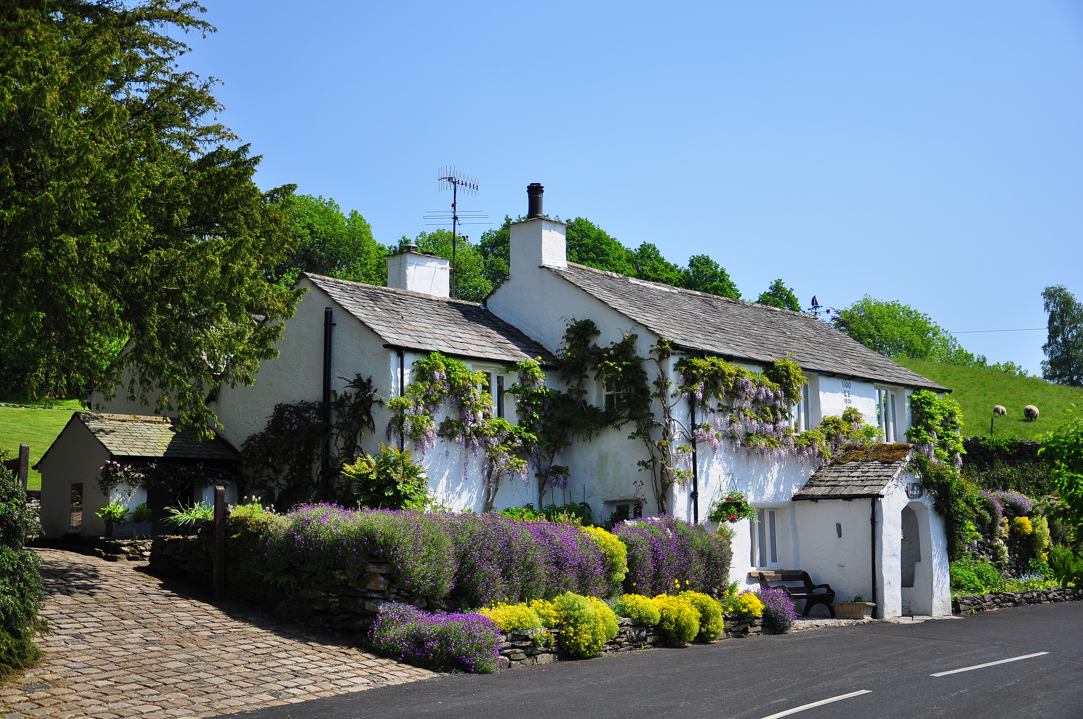
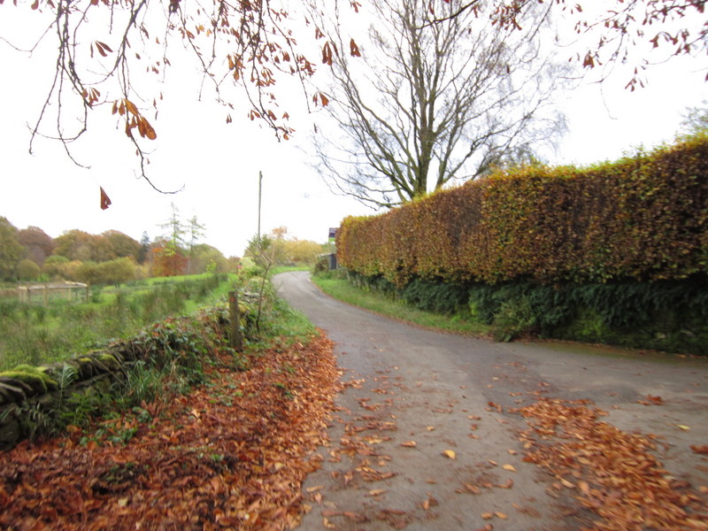
Barrow Plantation, located in Westmorland (Wood, Forest), is a historical landmark and a significant part of the region's cultural heritage. The plantation is nestled amidst lush greenery, encompassing vast stretches of land and dense forests. Its picturesque setting makes it a popular destination for nature enthusiasts and history buffs alike.
Originally established in the late 18th century, Barrow Plantation played a crucial role in the plantation economy of the region. It was primarily involved in the cultivation of cash crops such as tobacco, cotton, and indigo. The fertile soil and favorable climate provided ideal conditions for the growth of these crops, contributing to the plantation's prosperity.
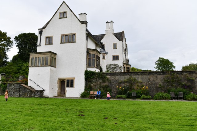
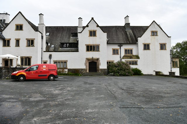
The main house at Barrow Plantation is an architectural gem, showcasing the grandeur and elegance of the antebellum period. Its classic Georgian-style design, featuring symmetrical facades, large windows, and a prominent entrance, offers a glimpse into the plantation's opulent past. The house is surrounded by meticulously maintained gardens, adding to its charm and beauty.
Visitors to Barrow Plantation can explore the sprawling grounds, taking leisurely walks along tree-lined paths and admiring the diverse flora and fauna. The plantation also offers guided tours, providing insight into the history, daily life, and struggles of the people who lived and worked on the estate.
Barrow Plantation stands as a testament to the rich history and agricultural heritage of Westmorland. Preserving the plantation and its structures allows visitors to step back in time and gain a deeper understanding of the region's past, making it a must-visit destination for history enthusiasts and nature lovers alike.
If you have any feedback on the listing, please let us know in the comments section below.
Barrow Plantation Images
Images are sourced within 2km of 54.34253/-2.8970558 or Grid Reference SD4194. Thanks to Geograph Open Source API. All images are credited.


Barrow Plantation is located at Grid Ref: SD4194 (Lat: 54.34253, Lng: -2.8970558)
Administrative County: Cumbria
District: South Lakeland
Police Authority: Cumbria
What 3 Words
///across.meanwhile.scale. Near Windermere, Cumbria
Nearby Locations
Related Wikis
Winster, Cumbria
Winster is a village in the South Lakeland District of Cumbria, in North West England. Historically within the county of Westmorland, it is situated less...
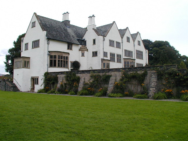
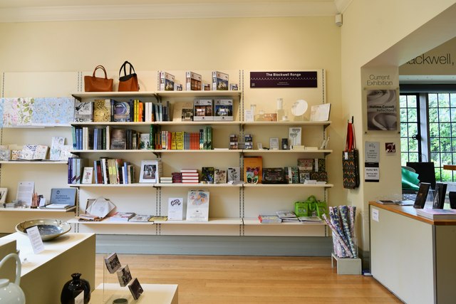
Blackwell (historic house)
Blackwell is a large house in the English Lake District, designed in the Arts and Crafts style by Baillie Scott. It was built in 1898–1900, as a holiday...
Cleabarrow
Cleabarrow is a hamlet in Cumbria, England. It gives its name to a small tarn in the area. == References ==

Brant Fell
Brant Fell is a hill in the English Lake District, near Bowness-on-Windermere, Cumbria. It is the subject of a chapter of Wainwright's book The Outlying...
Storrs, Cumbria
Storrs is a hamlet in the civil parish of Windermere and Bowness, in the Westmorland and Furness district of the ceremonial county of Cumbria, England...

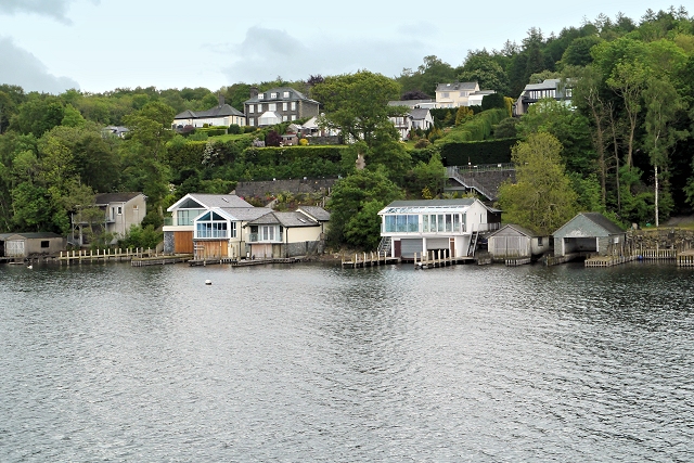
Storrs Hall
Storrs Hall is a hotel on the banks of Windermere in Storrs in the Lake District, Cumbria, England. The hotel, a Grade II* listed Georgian mansion, is...
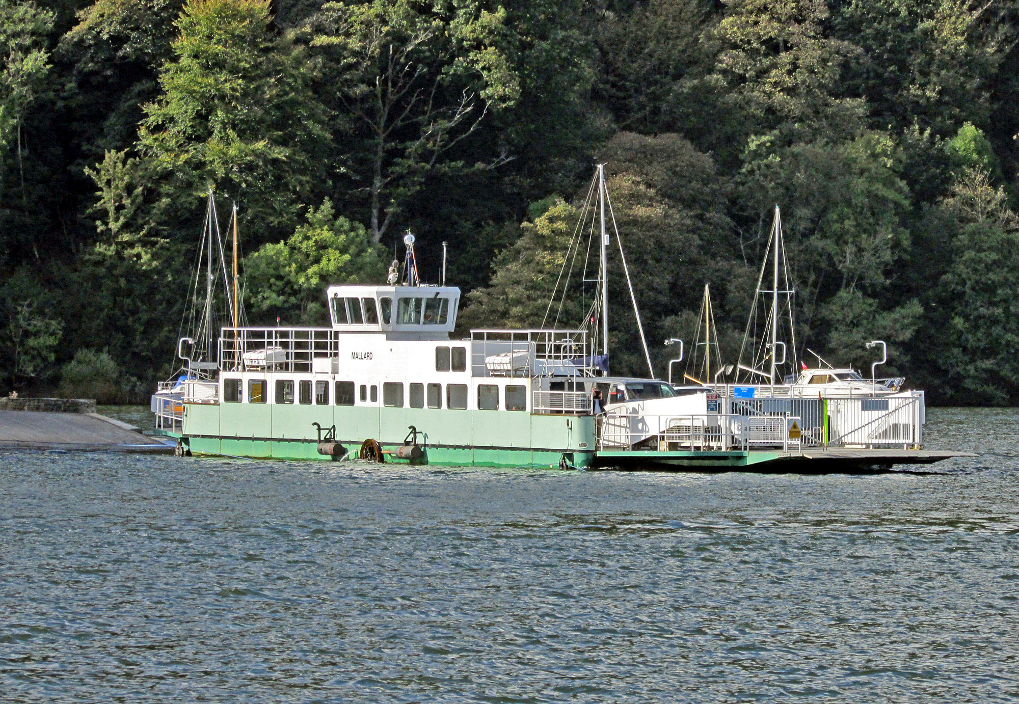
Windermere Ferry
The Windermere Ferry is a vehicular cable ferry which crosses Windermere, a lake in the English county of Cumbria. The ferry route forms part of the B5285...

Broad Leys
Broad Leys is a house located in Ghyll Head, near Bowness-on-Windermere, South Lakeland, Cumbria, England. It is in the northern part of the parish of...
Nearby Amenities
Located within 500m of 54.34253,-2.8970558Have you been to Barrow Plantation?
Leave your review of Barrow Plantation below (or comments, questions and feedback).