Banses Wood
Wood, Forest in Herefordshire
England
Banses Wood
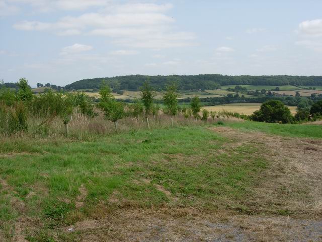
Banses Wood, located in Herefordshire, is a picturesque forest that covers an area of approximately 200 acres. It is renowned for its stunning natural beauty and is a popular destination for nature enthusiasts, hikers, and wildlife lovers.
The woodland is predominantly composed of a diverse range of native tree species, including oak, beech, ash, and birch. This rich vegetation provides a habitat for a wide array of wildlife, making Banses Wood a haven for nature lovers. Visitors can expect to spot various bird species, such as woodpeckers, owls, and warblers, as well as small mammals like squirrels, foxes, and rabbits.
Tranquility and serenity are the hallmarks of Banses Wood. It offers numerous trails and pathways, allowing visitors to explore its natural wonders at their own pace. The forest is particularly enchanting during the spring and summer months when the vibrant colors of wildflowers and blooming plants create a magical atmosphere.
For those interested in history, Banses Wood has a rich past. It is believed to have been part of the ancient hunting grounds of the Welsh princes, providing a glimpse into the region's historical significance.
Banses Wood offers a true escape from the hustle and bustle of everyday life, providing a peaceful retreat for anyone seeking solace in nature. Whether it's a leisurely walk, birdwatching, or simply immersing oneself in the tranquil surroundings, a visit to Banses Wood is sure to leave a lasting impression on all who venture into its enchanting depths.
If you have any feedback on the listing, please let us know in the comments section below.
Banses Wood Images
Images are sourced within 2km of 51.992374/-2.8529965 or Grid Reference SO4133. Thanks to Geograph Open Source API. All images are credited.


Banses Wood is located at Grid Ref: SO4133 (Lat: 51.992374, Lng: -2.8529965)
Unitary Authority: County of Herefordshire
Police Authority: West Mercia
What 3 Words
///bucked.thumbnail.redeeming. Near Thruxton, Herefordshire
Nearby Locations
Related Wikis

Treville, Herefordshire
Treville (called in Welsh Trefelin) is a rural area and former royal forest in the English county of Herefordshire. It is near Wormbridge and other small...
Wormbridge
Wormbridge is a village and former civil parish in Herefordshire, England, about eight miles south-west of Hereford, on the A465 road at (SO423316). The...

Thruxton, Herefordshire
Thruxton is a small rural village and civil parish in Herefordshire, England. It is located within the historic area of Archenfield, near the Welsh border...
Kingstone, Herefordshire
Kingstone is a civil parish and a large village in rural Herefordshire, England. It lies within the historic area of Archenfield, near the Welsh border...
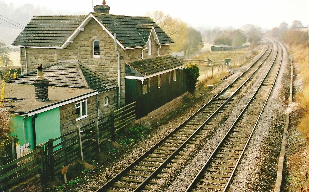
St Devereux railway station
St Devereux railway station was a station in Kilpeck, Herefordshire, England. The station was opened in 1854 and closed in 1958. == References == ��2...
Kingstone High School
Kingstone High School is a mixed secondary school located in Kingstone in the English county of Herefordshire.Previously a community school administered...

Pontrilas Army Training Area
Pontrilas Army Training Area is a British Army training camp, located just north of the village of Ewyas Harold near to Pontrilas in Herefordshire, England...

Bacton railway station
Bacton railway station was a station in Bacton, Herefordshire, England. It was located on the Great Western Railway branch line linking Pontrilas and Hay...
Nearby Amenities
Located within 500m of 51.992374,-2.8529965Have you been to Banses Wood?
Leave your review of Banses Wood below (or comments, questions and feedback).