Coed-y-paun
Settlement in Monmouthshire
Wales
Coed-y-paun
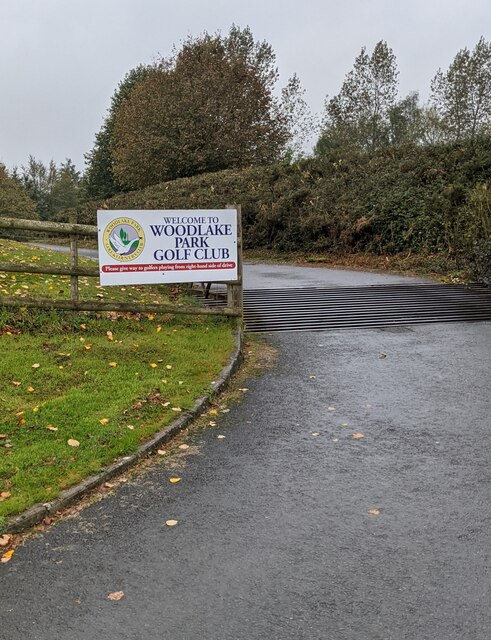
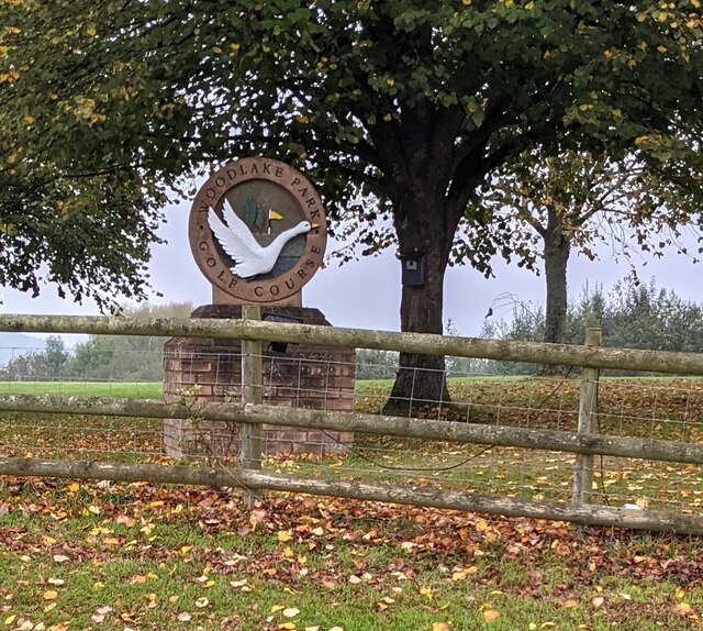
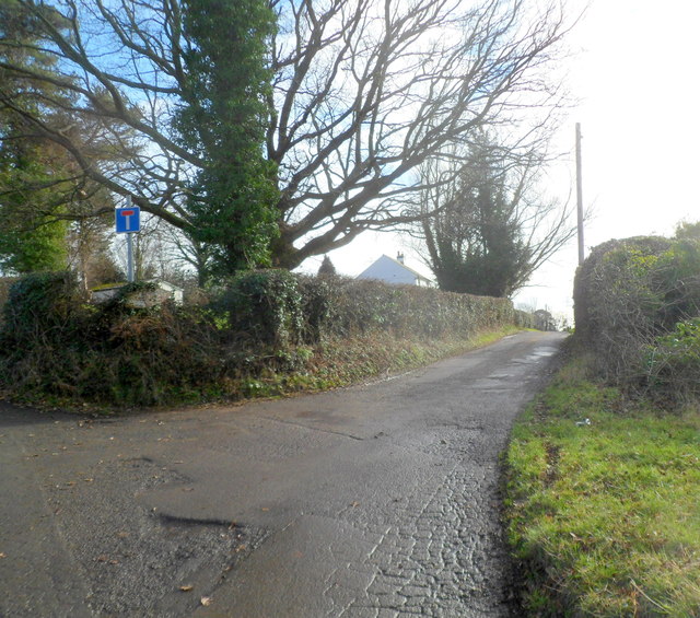
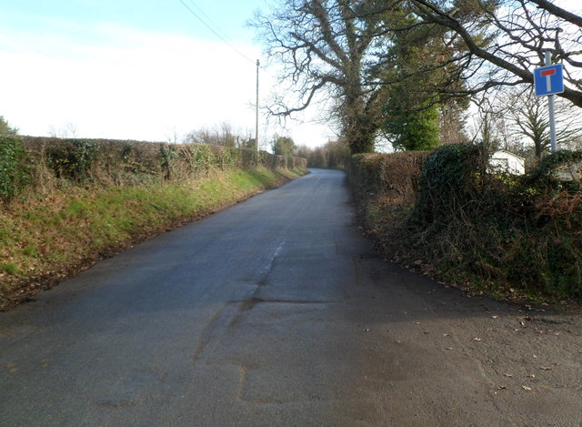
Coed-y-paun is a small village located in Monmouthshire, Wales. It is situated near the town of Pontypool and is surrounded by picturesque countryside, making it an ideal location for those who enjoy outdoor activities such as hiking and cycling.
The village itself is made up of a mix of residential housing, with a few local shops and amenities for residents. Coed-y-paun is known for its peaceful and quiet atmosphere, making it a popular choice for families and retirees looking to escape the hustle and bustle of city life.
The village is also home to a primary school, providing education for local children, and there are several churches in the area for those who are religiously inclined. Additionally, Coed-y-paun has good transport links, with regular bus services connecting the village to nearby towns and cities.
Overall, Coed-y-paun is a charming and quaint village in Monmouthshire, offering a peaceful and idyllic setting for residents to enjoy a relaxed way of life.
If you have any feedback on the listing, please let us know in the comments section below.
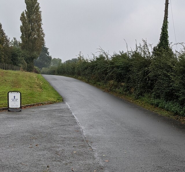
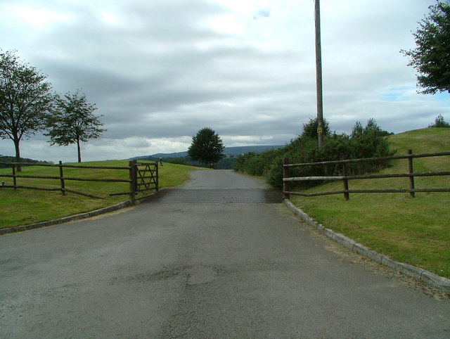
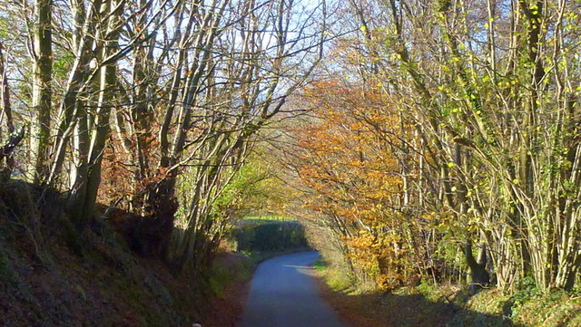
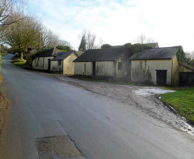
Coed-y-paun Images
Images are sourced within 2km of 51.681421/-2.966026 or Grid Reference ST3398. Thanks to Geograph Open Source API. All images are credited.


Coed-y-paun is located at Grid Ref: ST3398 (Lat: 51.681421, Lng: -2.966026)
Unitary Authority: Monmouthshire
Police Authority: Gwent
Also known as: Coed-y-paen
What 3 Words
///thrillers.cassettes.lies. Near New Inn, Torfaen
Nearby Locations
Related Wikis

Coed-y-paen
Coed-y-paen is a village in South Wales, situated at the south-eastern end of Llandegfedd Reservoir, 2.5 miles (4 km) north-west of Llangybi. HM Prison...

HM Prison Prescoed
HM Prison Prescoed (Welsh: Carchar Prescoed EF) is a Category D men's open prison, located in Coed-y-paen, three miles from Usk in Monmouthshire, Wales...

Llanddewi Court
Llanddewi Court, Llanddewi Skirrid, Monmouthshire, Wales, is a Grade II* listed house dating from the late 16th century. It is an example of a "double...

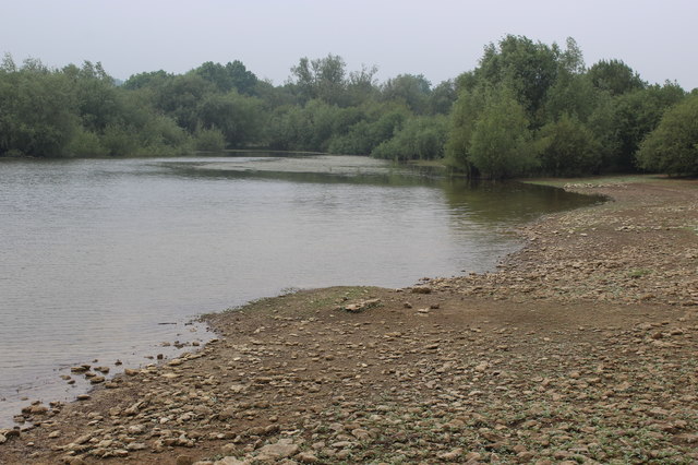
Llandegfedd Reservoir
Llandegfedd Reservoir (also known as Llandegveth Reservoir) is a large 174 hectare water supply reservoir and is eight miles (13 km) north of Newport...
Nearby Amenities
Located within 500m of 51.681421,-2.966026Have you been to Coed-y-paun?
Leave your review of Coed-y-paun below (or comments, questions and feedback).