Calf Parrock Wood

Wood, Forest in Westmorland South Lakeland

England

Calf Parrock Wood

A bird with its breakfast on Wansfell
A bird with its breakfast on Wansfell Credit: Gareth James

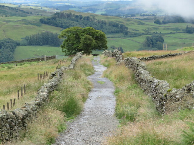
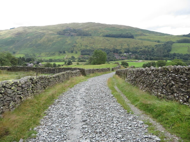
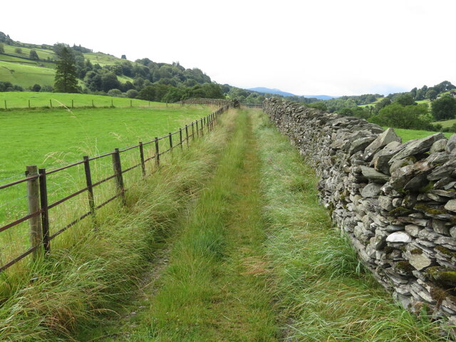
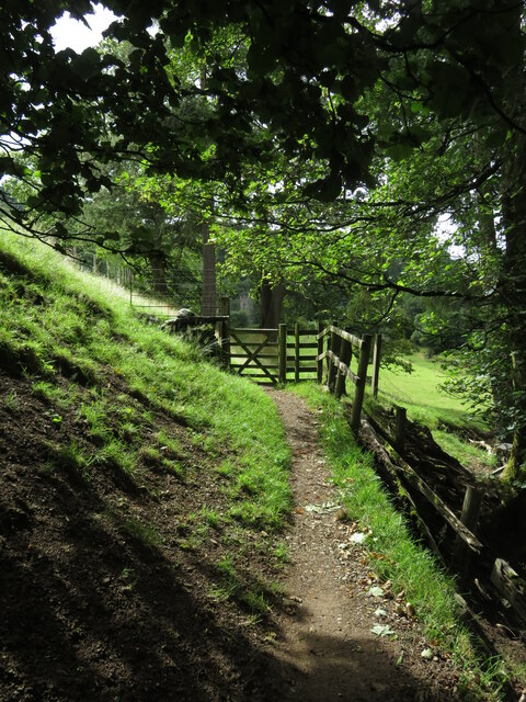
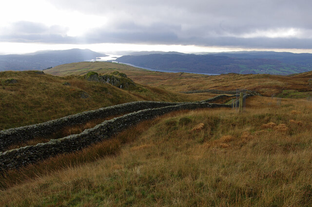
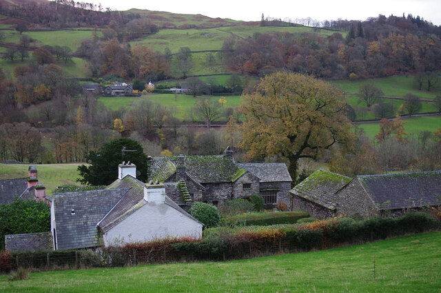
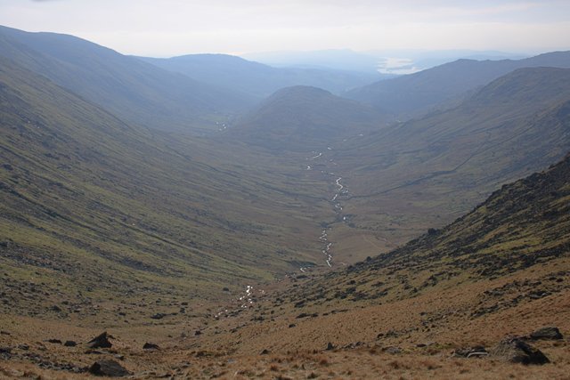
Calf Parrock Wood is a picturesque woodland located in Westmorland, a county in the northwest of England. Situated near the village of Westmorland, this ancient forest covers an area of approximately 100 acres, making it a significant natural treasure in the region. The wood consists mainly of deciduous trees, including oak, beech, and ash, which create a dense and diverse canopy that provides shade and shelter for a variety of wildlife.

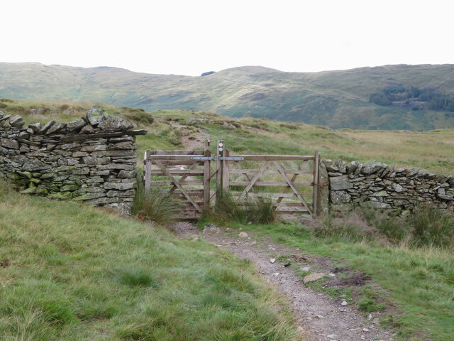
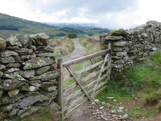
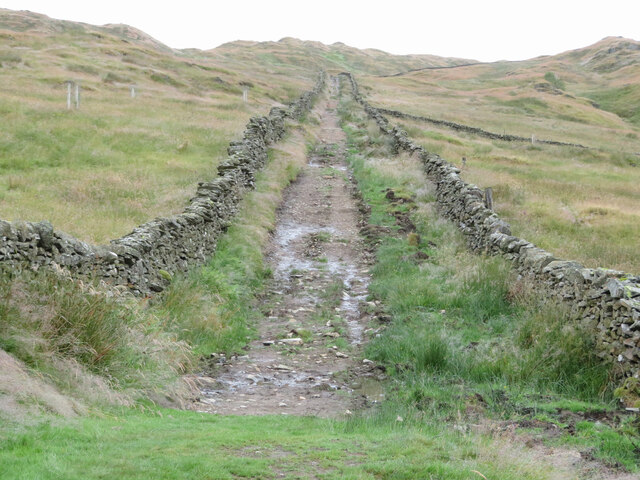
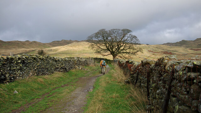
The forest floor is covered with a rich carpet of moss, ferns, and wildflowers, creating a vibrant and enchanting atmosphere. The wood is crisscrossed by a network of footpaths, allowing visitors to explore its beauty while enjoying a tranquil and peaceful atmosphere away from the bustle of urban life.

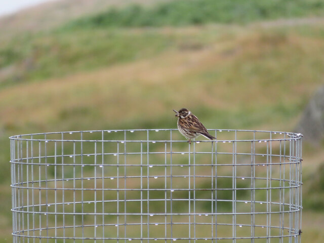
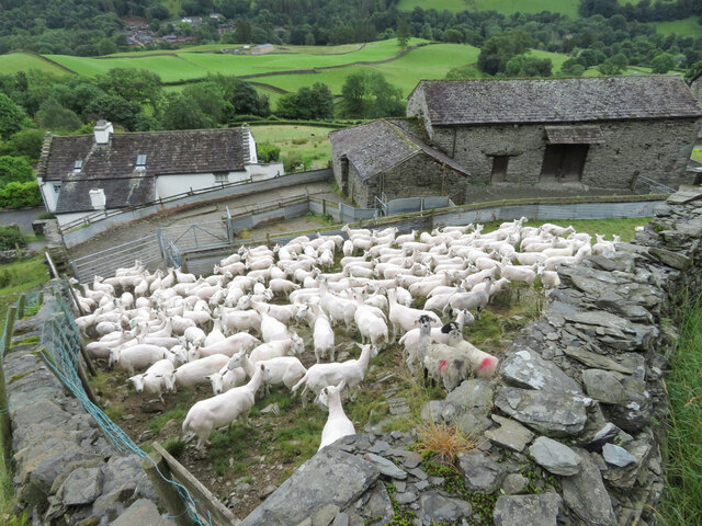
Calf Parrock Wood is also home to a wide range of wildlife species, including various bird species such as woodpeckers, owls, and songbirds. The wood provides an important habitat for small mammals like squirrels, rabbits, and foxes, as well as numerous insects and butterflies.

Due to its natural beauty and ecological significance, Calf Parrock Wood has been designated as a protected area, ensuring its preservation for future generations. The wood offers an excellent opportunity for nature enthusiasts, hikers, and photographers to immerse themselves in the beauty of the natural world and appreciate the wonders of this ancient forest.

If you have any feedback on the listing, please let us know in the comments section below.

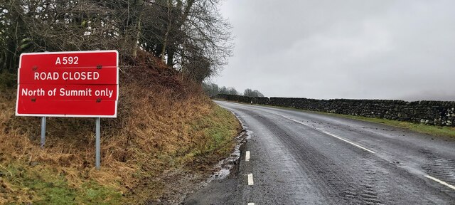
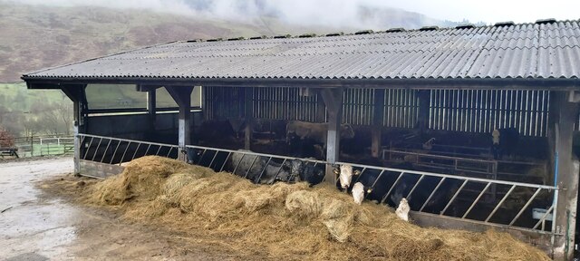
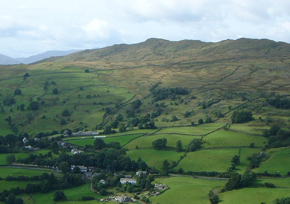
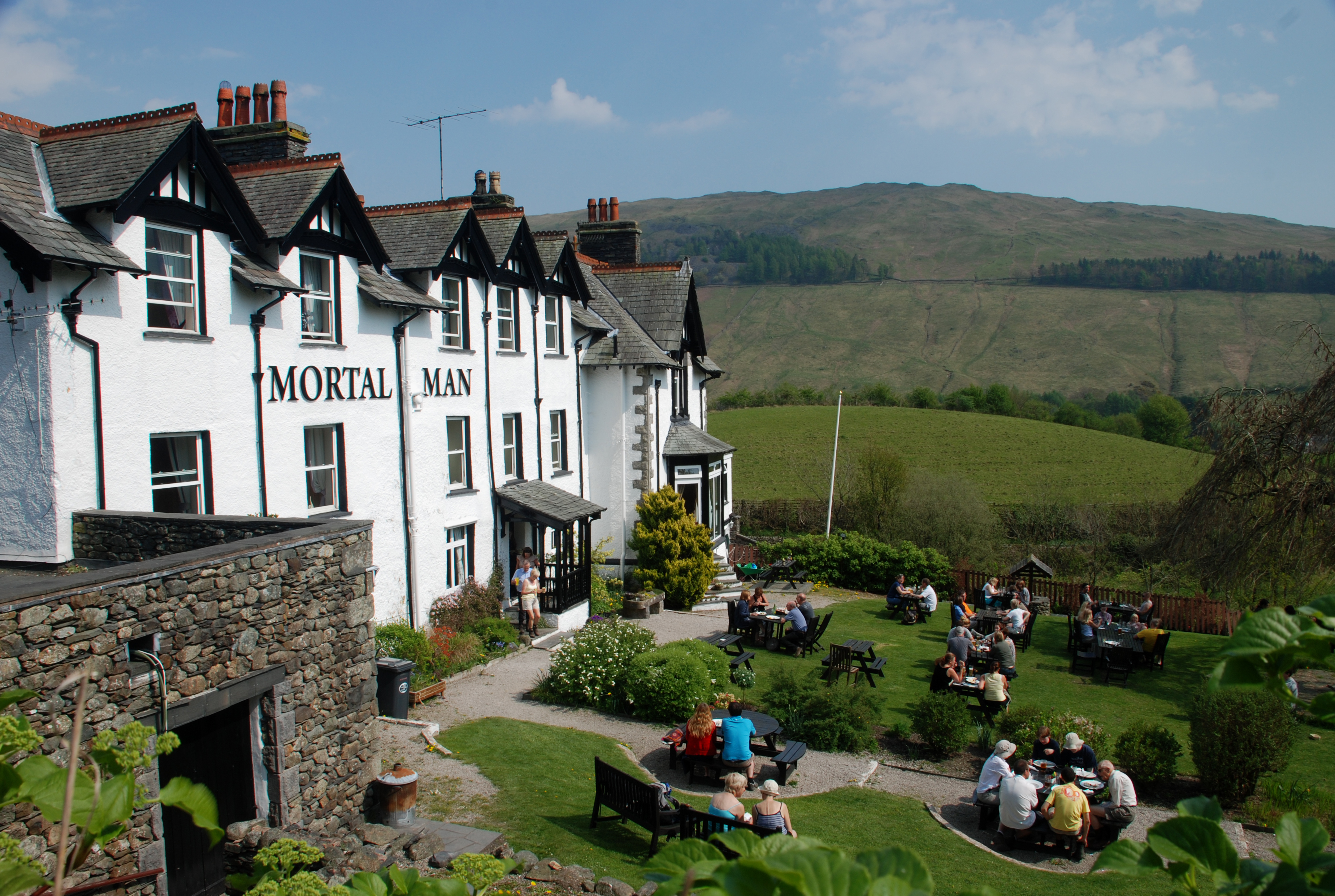
Calf Parrock Wood Images

Images are sourced within 2km of 54.430195/-2.9065855 or Grid Reference NY4104. Thanks to Geograph Open Source API. All images are credited.

A bird with its breakfast on Wansfell
Gate on Wansfell
Gate on Wansfell
Gate leading on to Nanny Lane
Nanny Lane, looking north
Nanny Lane, looking south-east
Nanny Lane, approaching Troutbeck
Sheep near Troutbeck
Path near Troutbeck
Path near Troutbeck
Path through trees near Troutbeck
Troutbeck church
Troutbeck church
Footpath approaching Low Fold
Nanny Lane, Wansfell On the SE flank of Wansfell, above Troutbeck. Many trees have been planted hereabouts, in scattered positions. Windermere is in the distance.
Nanny Lane, Wansfell
On the SE flank of Wansfell, above Troutbeck. Many trees have been planted hereabouts, in scattered positions. Windermere is in the distance.
Nanny Lane, Wansfell On the SE flank of Wansfell, above Troutbeck. Many trees have been planted hereabouts, in scattered positions.
Nanny Lane, Wansfell
On the SE flank of Wansfell, above Troutbeck. Many trees have been planted hereabouts, in scattered positions.
Troutbeck from Robin Lane The village of Troutbeck is spread along the valley, mostly on the west side, with a few clusters of farms and houses.
There is a high proportion of listed buildings.
Troutbeck from Robin Lane
The village of Troutbeck is spread along the valley, mostly on the west side, with a few clusters of farms and houses. There is a high proportion of listed buildings.
Jesus Church, Troutbeck Grade II* Listed Building. See <span class="nowrap"><a title="https://historicengland.org.uk/listing/the-list/list-entry/1271827" rel="nofollow ugc noopener" href="https://historicengland.org.uk/listing/the-list/list-entry/1271827">Link</a><img style="margin-left:2px;" alt="External link" title="External link - shift click to open in new window" src="https://s1.geograph.org.uk/img/external.png" width="10" height="10"/></span>
Jesus Church, Troutbeck
Grade II* Listed Building. See LinkExternal link
The A592 is Closed
The A592 is Closed
Cow Shed at Town Head
Show me another place!

Calf Parrock Wood is located at Grid Ref: NY4104 (Lat: 54.430195, Lng: -2.9065855)

Administrative County: Cumbria

District: South Lakeland

Police Authority: Cumbria

What 3 Words

///pronouns.bravo.lawns. Near Ambleside, Cumbria

Nearby Locations

Calf Parrock Wood

Related Wikis

Wansfell

Wansfell is a fell in English Lake District situated 1+1⁄2 miles (2.4 kilometres) east of the town of Ambleside. The fell is part of the long southern...

Troutbeck, Lakes

Troutbeck is a village and former civil parish, now in the parish of Lakes, in Westmorland and Furness unitary authority in the ceremonial county of...

Jesus Church, Troutbeck

Jesus Church is in the village of Troutbeck in the Lake District, Cumbria, England. It is an active Anglican parish church in the deanery of Windermere...

Troutbeck Park

Troutbeck Park is a farm to the north of Troutbeck village in South Lakeland, Cumbria. In 1923, there was a risk of it being sold for development, so...

Sour Howes

Sour Howes is a small fell in the English Lake District. It is situated five kilometres east of Ambleside, between the Troutbeck and Kentmere valleys and...

Trout Beck

The Trout Beck is a fast flowing stream of the Lake District in North West England. It is one of the main sources of replenishment for Windermere, and...
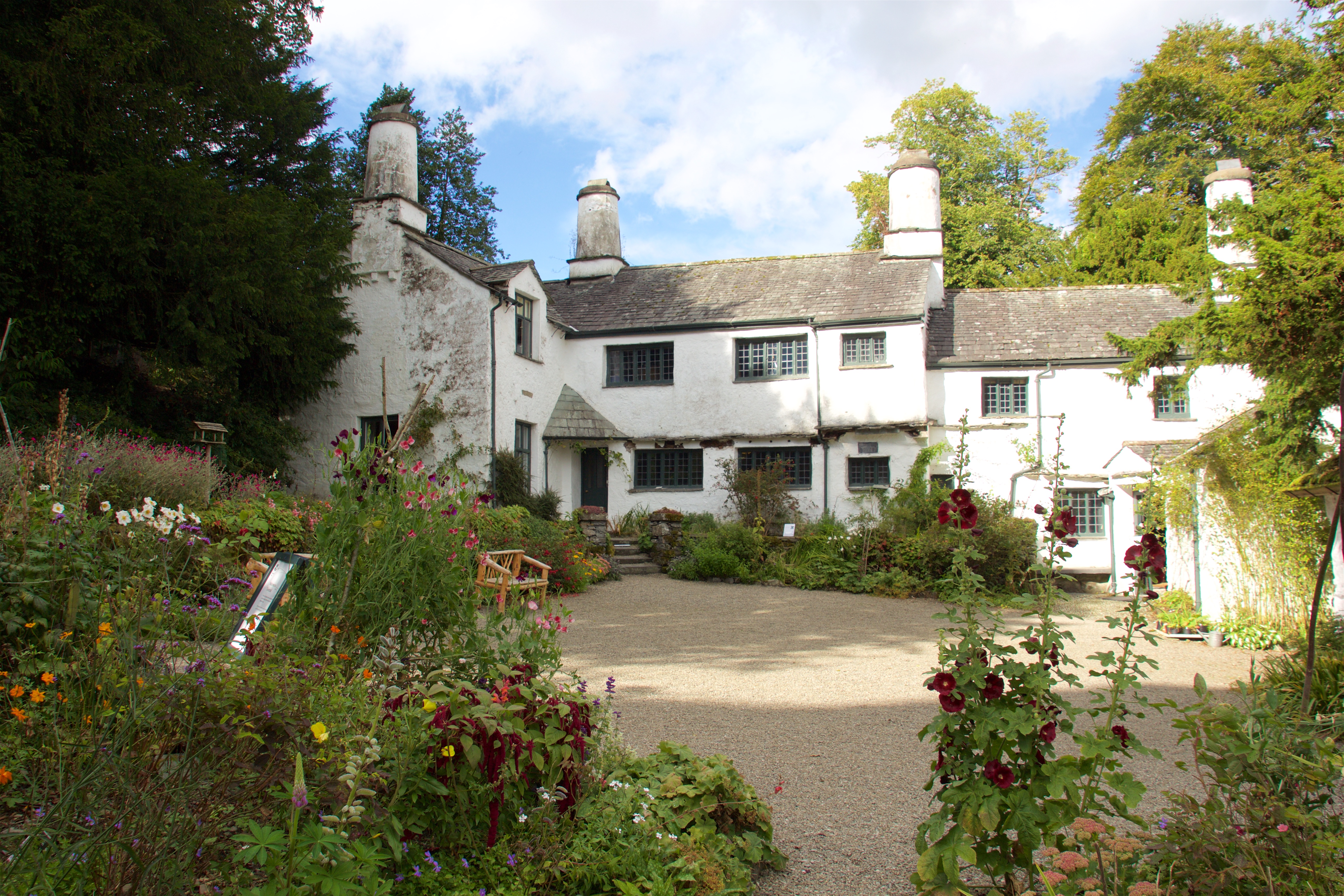
Townend

Townend is a 17th-century house located in Troutbeck, in the civil parish of Lakes, near Windermere, Cumbria, England, and in the ownership of the National...

Troutbeck Tongue

Troutbeck Tongue is a small fell in the English Lake District, three miles (five kilometres) ENE of Ambleside. It is one of 214 hills listed in Alfred...

Nearby Amenities

Located within 500m of 54.430195,-2.9065855
Bus Stop
Queens Head Hotel
Naptan AtcoCode: 090079411381
Naptan Bearing: N
Naptan BusStopType: CUS
Naptan CommonName: Queens Head Hotel
Naptan Indicator: o/s
Naptan Landmark: Queens Head Hotel
Naptan NaptanCode: cumdjwda
Naptan Street: A592
Naptan Verified: no
Source: naptan_import
Lat/Long: 54.4261516/-2.9047877
Bus Stop
Town Head
Bench: no
Naptan AtcoCode: 090079412976
Naptan Bearing: N
Naptan CommonName: Town Head
Naptan Indicator: opp
Naptan Landmark: Gara Garthe
Naptan NaptanCode: cumdjwmj
Naptan Street: A592
Naptan Verified: yes
Shelter: no
Source: naptan_import
Tactile Paving: no
Lat/Long: 54.4273119/-2.9042539
Bus Stop
Town Head by Spring
Bench: no
Local Ref: AT
Naptan AtcoCode: 090079412978
Naptan Bearing: S
Naptan CommonName: Town Head by Spring
Naptan Indicator: at
Naptan Landmark: Troutbeck Town Head
Naptan NaptanCode: cumdjwmp
Naptan Street: A592
Naptan Verified: yes
Shelter: no
Source: naptan_import
Tactile Paving: no
Lat/Long: 54.4276156/-2.9036436
Give Way
Direction: backward
Lat/Long: 54.4275306/-2.9038155
Raven Crag
Place: locality
Lat/Long: 54.4340324/-2.9041996
Chimney Crag
Place: locality
Lat/Long: 54.4318981/-2.9059806
Stop
Direction: forward
Lat/Long: 54.4272343/-2.9042781
Parking
Access: yes
Capacity: 4
Fee: no
Park Ride: no
Parking: lane
Supervised: no
Surface: asphalt
Lat/Long: 54.4318965/-2.9025825
Town Head
Place: locality
Source Name: OS OpenData StreetView
Lat/Long: 54.4265577/-2.9034537
Power: pole
Lat/Long: 54.4264804/-2.9057424
Power: pole
Lat/Long: 54.4265556/-2.9023475
Power: pole
Lat/Long: 54.4273438/-2.9016395
Power: pole
Lat/Long: 54.4278744/-2.9012378
Power: pole
Lat/Long: 54.4286625/-2.9005117
Power: pole
Lat/Long: 54.4294638/-2.9002371
Power: pole
Lat/Long: 54.4302994/-2.8998831
Power: pole
Lat/Long: 54.4315402/-2.900253
Power: pole
Lat/Long: 54.432484/-2.9005934
Power: pole
Lat/Long: 54.4328906/-2.9007046
The data included in this document is from www.openstreetmap.org. The data is made available under ODbL.

Have you been to Calf Parrock Wood?

Leave your review of Calf Parrock Wood below (or comments, questions and feedback).