America Wood

Wood, Forest in Cumberland Carlisle

England

America Wood

Road junction near Sprunston
Road junction near Sprunston Credit: Steven Brown

America Wood is a vast and expansive forest located in Cumberland County, England. Covering an area of approximately 9,000 acres, it is one of the largest woodlands in the region and is renowned for its natural beauty and biodiversity. The forest is predominantly composed of mixed broadleaf and coniferous trees, including oak, beech, birch, and pine, creating a diverse and vibrant ecosystem.

The wood is a popular destination for nature enthusiasts, hikers, and wildlife lovers due to its abundance of walking trails and picturesque landscapes. Visitors can explore the forest via a network of well-maintained paths that wind through the dense foliage, allowing them to immerse themselves in the tranquility of the surroundings. The wood also offers various recreational activities, such as cycling, horseback riding, and birdwatching, making it an ideal destination for outdoor enthusiasts.

Wildlife thrives in America Wood, with a wide variety of species calling it home. Deer, foxes, rabbits, and squirrels are commonly spotted within the forest, while the birdlife includes woodpeckers, owls, and various songbirds. The wood is also known for its diverse flora, with carpets of bluebells and wildflowers decorating the forest floor during the springtime.

In addition to its natural beauty, America Wood holds historical significance as well. It is believed to have been used for timber production in the past, contributing to the region's economy. Today, it serves as a valuable recreational and ecological resource, providing a haven for both humans and wildlife alike.

If you have any feedback on the listing, please let us know in the comments section below.
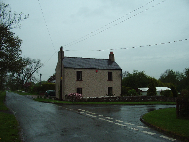
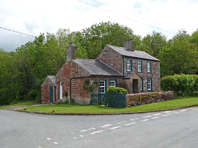
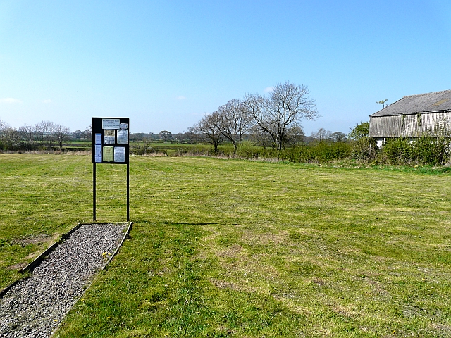
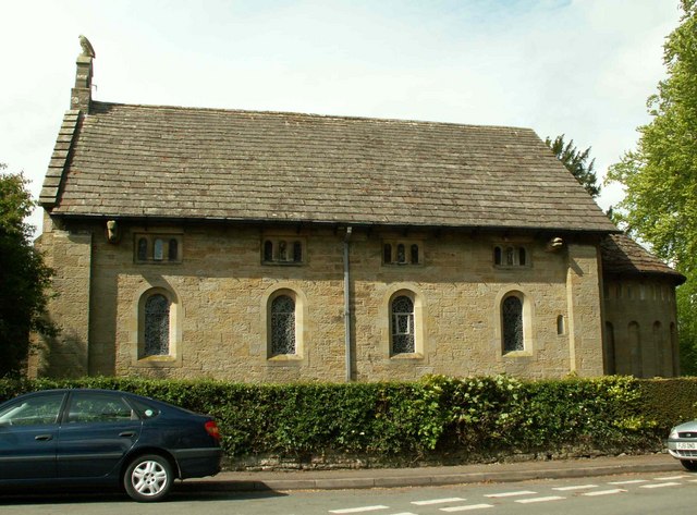
America Wood Images

Images are sourced within 2km of 54.833951/-2.9181512 or Grid Reference NY4149. Thanks to Geograph Open Source API. All images are credited.

Road junction near Sprunston
Cottage at Unthank Across the road from Unthank House <a href="https://www.geograph.org.uk/photo/173680">NY3948 : Unthank House</a>.
Cottage at Unthank
Across the road from Unthank House NY3948 : Unthank House.
Houses at Ratten Row Ratten Row is a secluded hamlet to the south of Carlisle; there are some old farmhouses and cottages, also former agricultural buildings converted to homes.
Houses at Ratten Row
Ratten Row is a secluded hamlet to the south of Carlisle; there are some old farmhouses and cottages, also former agricultural buildings converted to homes.
A thatched cottage at Ratten Row There is a date above the door of 1689. Older parts of the walls are constructed of clay and straw, a once common technique known locally as clay dabbin - only a few hundred examples survive in Cumbria today (see report by North of England Civic Trust <span class="nowrap"><a title="www.nect.org.uk/_file/Cg5MieAtpj_148931.pdf" rel="nofollow ugc noopener" href="http://www.nect.org.uk/_file/Cg5MieAtpj_148931.pdf">Link</a><img style="margin-left:2px;" alt="External link" title="External link - shift click to open in new window" src="https://s1.geograph.org.uk/img/external.png" width="10" height="10"/></span> ).
Thatched roofs are rarely seen in north Cumbria. This one has been restored fairly recently, a photo taken in 2002 shows a roof of corrugated iron (Images of England <span class="nowrap"><a title="http://www.imagesofengland.org.uk/Details/Default.aspx?id=77605" rel="nofollow ugc noopener" href="http://www.imagesofengland.org.uk/Details/Default.aspx?id=77605">Link</a><img style="margin-left:2px;" alt="External link" title="External link - shift click to open in new window" src="https://s1.geograph.org.uk/img/external.png" width="10" height="10"/></span> ).
A thatched cottage at Ratten Row
There is a date above the door of 1689. Older parts of the walls are constructed of clay and straw, a once common technique known locally as clay dabbin - only a few hundred examples survive in Cumbria today (see report by North of England Civic Trust LinkExternal link ). Thatched roofs are rarely seen in north Cumbria. This one has been restored fairly recently, a photo taken in 2002 shows a roof of corrugated iron (Images of England LinkExternal link ).
Farmland, St Cuthbert Without A crop of barley to the north of the road at Ratten Road.
Farmland, St Cuthbert Without
A crop of barley to the north of the road at Ratten Road.
Unthank House Situated on the north side of the junction Unthank House has recently been renovated
Unthank House
Situated on the north side of the junction Unthank House has recently been renovated
Young crop and hedgerow Near Ratten Row.
Young crop and hedgerow
Near Ratten Row.
Lane towards Ratten Row Heading north west.
Lane towards Ratten Row
Heading north west.
Young crop field near Ratten Row
Heading towards Ratten Row
Farm building, Ratten Row
Minor road at Ratten Row Looking north-eastward.
Minor road at Ratten Row
Looking north-eastward.
Minor road and bridge crossing Pow Beck near Unthank Looking south-westward.
Minor road and bridge crossing Pow Beck near Unthank
Looking south-westward.
The White Quey
The White Quey
Blanchland
Blanchland
Chapel Hill
Chapel Hill
Foulbridge
Foulbridge
Crowtrees Farm
Crowtrees Farm
Show me another place!

America Wood is located at Grid Ref: NY4149 (Lat: 54.833951, Lng: -2.9181512)

Administrative County: Cumbria

District: Carlisle

Police Authority: Cumbria

What 3 Words

///glory.runner.cargo. Near Dalston, Cumbria

Nearby Locations

Burthwaite America Wood

Related Wikis

Nearby Amenities

Located within 500m of 54.833951,-2.9181512
Power: pole
Lat/Long: 54.8342117/-2.9217337
Power: pole
Lat/Long: 54.8338523/-2.9202816
Power: tower
Lat/Long: 54.8304618/-2.9206208
Power: pole
Lat/Long: 54.8325695/-2.9119977
Power: pole
Lat/Long: 54.8326299/-2.9135126
Power: tower
Lat/Long: 54.8328209/-2.9220404
Power: pole
Lat/Long: 54.8328211/-2.9145809
Power: pole
Lat/Long: 54.8329863/-2.9155827
Power: pole
Lat/Long: 54.8332648/-2.9172311
Power: pole
Lat/Long: 54.8335352/-2.9188865
Power: tower
Lat/Long: 54.8341678/-2.9220145
Power: tower
Lat/Long: 54.8354276/-2.9236091
Power: tower
Lat/Long: 54.8360157/-2.9231178
Building: yes
Lat/Long: 54.8373345/-2.9162793
Place: farm
Lat/Long: 54.833936/-2.9163008
Place: farm
Lat/Long: 54.8319092/-2.9123311
The data included in this document is from www.openstreetmap.org. The data is made available under ODbL.

Have you been to America Wood?

Leave your review of America Wood below (or comments, questions and feedback).