Ash Wood
Wood, Forest in Somerset South Somerset
England
Ash Wood

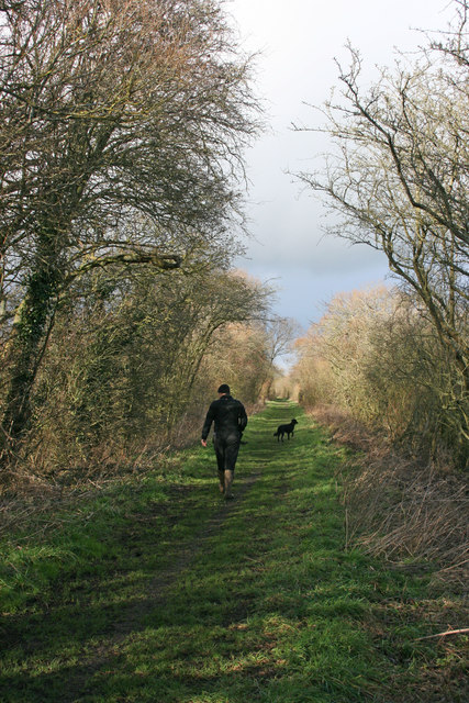
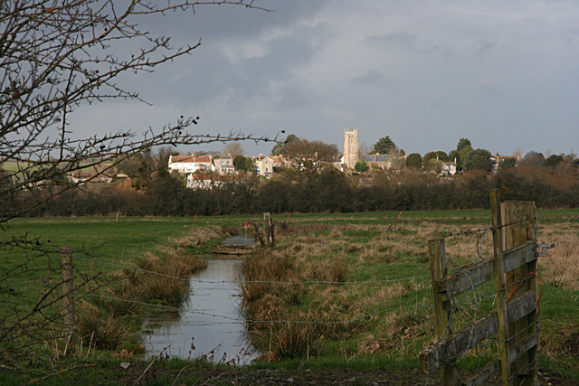
Ash Wood is a picturesque forest located in the county of Somerset, in southwestern England. Covering an area of approximately 500 acres, the wood is primarily composed of ash trees, which give it its name. It is widely regarded as one of the most beautiful and well-preserved woodlands in the region.
The forest is home to a diverse range of flora and fauna, making it a haven for nature enthusiasts and wildlife lovers. Walking through the wood, visitors can expect to see a variety of bird species, including woodpeckers, owls, and thrushes. Squirrels, foxes, and deer are also commonly spotted within the forest, adding to its natural charm.
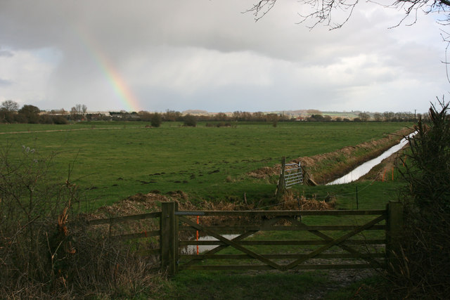
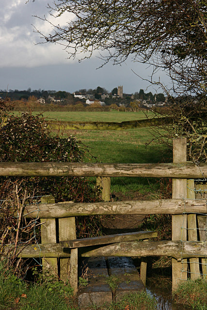
Ash Wood is crisscrossed with well-maintained footpaths and trails, offering visitors the opportunity to explore its beauty and tranquility. These paths meander through the forest, taking visitors past ancient trees, babbling brooks, and peaceful clearings. The wood is especially popular during spring when the forest floor comes alive with a carpet of bluebells, creating a stunning display of color.
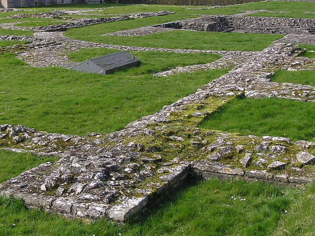
The forest also holds historical significance, as remnants of ancient earthworks and burial mounds have been discovered within its boundaries. These archaeological features provide insight into the area's rich past and have attracted the attention of researchers and history enthusiasts.
Ash Wood is easily accessible by both car and public transportation, with ample parking available nearby. It offers a peaceful retreat from the hustle and bustle of everyday life, providing visitors with a chance to reconnect with nature and enjoy the beauty of Somerset's woodlands.
If you have any feedback on the listing, please let us know in the comments section below.
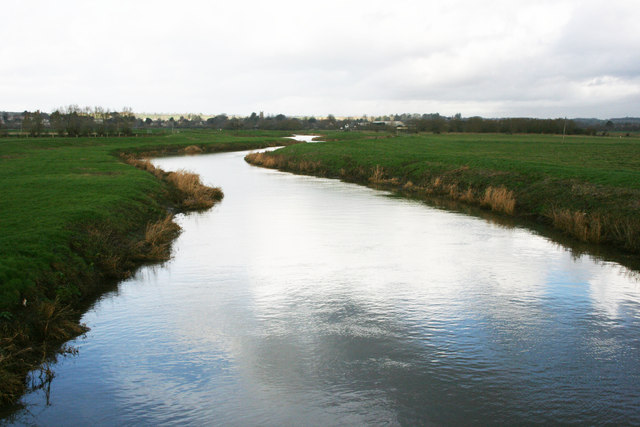
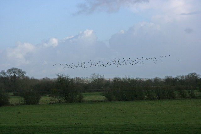
Ash Wood Images
Images are sourced within 2km of 51.022781/-2.8422322 or Grid Reference ST4125. Thanks to Geograph Open Source API. All images are credited.


Ash Wood is located at Grid Ref: ST4125 (Lat: 51.022781, Lng: -2.8422322)
Administrative County: Somerset
District: South Somerset
Police Authority: Avon and Somerset
What 3 Words
///hamsters.warbler.spooked. Near Curry Rivel, Somerset
Nearby Locations
Related Wikis

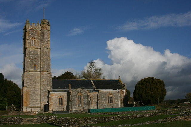
St Catherine's Church, Drayton
The Church of St Catherine in Drayton, Somerset, England dates from the 15th century. It has been designated as a Grade I listed building.St Catherine...
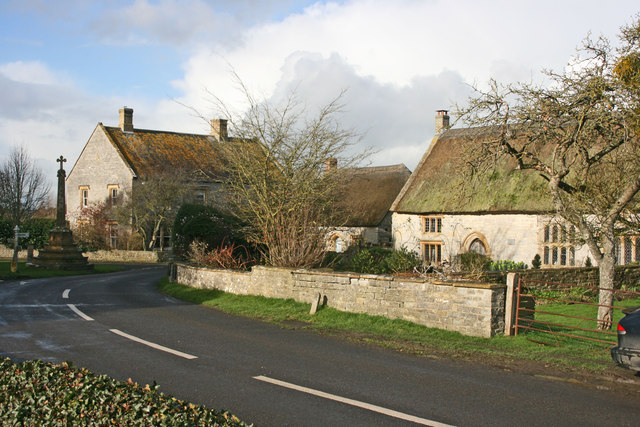
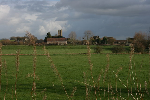
Drayton, Somerset
Drayton is a village and civil parish in Somerset, England, focussed less than a mile from Curry Rivel and five miles southwest of Somerton in the South...

River Yeo (South Somerset)
The River Yeo, also known as the River Ivel, is a tributary of the River Parrett in north Dorset and south Somerset, England. The river's names derive...

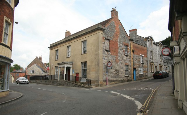
Curry Rivel
Curry Rivel is a village and civil parish in Somerset, England, situated 6 miles (9.7 km) west of Somerton and 10 miles (16.1 km) east of Taunton in the...

Warehouse, Langport
The Warehouse in Great Bow Yard Langport, Somerset, England is an example of Victorian industrial architecture. The Warehouse was built in the late 18th...

River Isle
The River Isle (also known as the River Ile) flows from its source near Combe St Nicholas, through Somerset, England and discharges into the River Parrett...
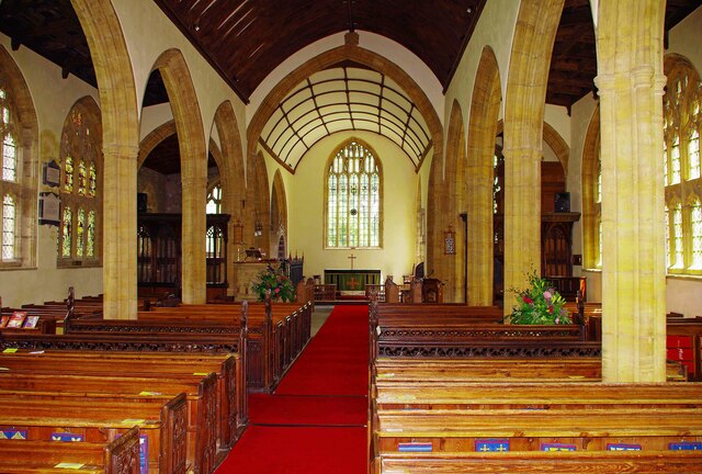
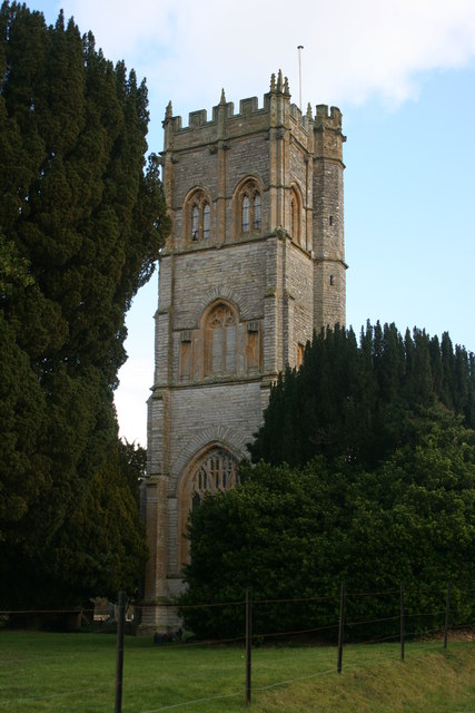
St Andrew's Church, Curry Rivel
The Church of St Andrew in Curry Rivel, Somerset, England dates from the 13th century and is designated as a Grade I listed building. It was included in...

Langport Town Hall
Langport Town Hall is a municipal building in Bow Street in Langport, Somerset, England. The building, which is the meeting place of Langport Town Council...
Nearby Amenities
Located within 500m of 51.022781,-2.8422322Have you been to Ash Wood?
Leave your review of Ash Wood below (or comments, questions and feedback).