Bridge Plantation
Wood, Forest in Herefordshire
England
Bridge Plantation
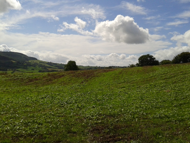
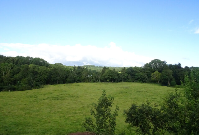
Bridge Plantation is a picturesque woodland area located in the county of Herefordshire, England. Situated near the town of Hereford, it covers an expansive area of approximately 200 acres and is known for its rich biodiversity and stunning natural beauty.
The plantation is predominantly composed of a mix of native deciduous trees, including oak, ash, beech, and birch. These trees create a lush and vibrant canopy, providing a habitat for a wide variety of wildlife. The woodland floor is covered in a thick carpet of ferns, mosses, and wildflowers, adding to the enchanting atmosphere of the area.
Bridge Plantation is intersected by several small streams, which meander through the woodland, creating a serene and tranquil environment. The sound of running water adds to the sensory experience of visitors, enhancing the overall sense of tranquility and peace.
The woodland is a haven for wildlife enthusiasts and nature lovers alike. It is home to a diverse range of animal species, including deer, foxes, badgers, squirrels, and numerous bird species. The plantation is also an important breeding ground for a variety of insects and butterflies, further enhancing its ecological significance.
The natural beauty and tranquility of Bridge Plantation make it a popular destination for outdoor activities such as hiking, bird-watching, and photography. The woodland is crisscrossed by a network of well-maintained footpaths, allowing visitors to explore and appreciate the diverse flora and fauna at their own pace.
If you have any feedback on the listing, please let us know in the comments section below.
Bridge Plantation Images
Images are sourced within 2km of 51.930219/-2.8592636 or Grid Reference SO4126. Thanks to Geograph Open Source API. All images are credited.


Bridge Plantation is located at Grid Ref: SO4126 (Lat: 51.930219, Lng: -2.8592636)
Unitary Authority: County of Herefordshire
Police Authority: West Mercia
What 3 Words
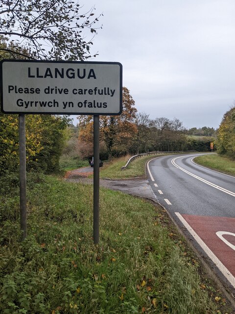
///botanists.lighter.luxury. Near Grosmont, Monmouthshire
Nearby Locations
Related Wikis

Kentchurch
Kentchurch is a small village and civil parish in Herefordshire, England. It is located some 13 miles (21 km) south-west of Hereford and 13 miles (21...

Kentchurch Court
Kentchurch Court is a Grade I listed stately home 1,200 yards (1,000 m) east from the village of Kentchurch in Herefordshire, England. == History == It...

Monmouth Cap
Monmouth Cap is a hamlet in the north of the county of Monmouthshire, Wales. It stands to the north of the village of Grosmont, and to the south of the...

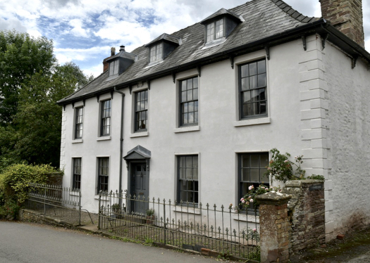
Great House Farm, Llangua
Great House Farm, or The Great House, Llangua, Monmouthshire is a farmhouse dating from the 17th century. The house is listed at Grade II*. The barn and...
Glyndŵr House, Grosmont
Glyndŵr House, Grosmont, Monmouthshire is a village house dating from the late 17th century. It is a Grade II* listed building. == History == The frontage...

Howell's House, Grosmont
Howell's House, Grosmont, Monmouthshire is an early 17th century house. Previously known as The Shop, it served as a village stores from the mid-19th century...

Grosmont, Monmouthshire
Grosmont (Welsh: Y Grysmwnt or Rhosllwyn) is a village and community near Abergavenny in Monmouthshire, Wales. The population taken at the 2011 census...
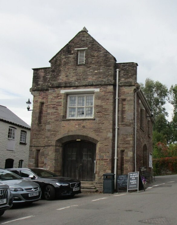
Grosmont Town Hall
Grosmont Town Hall (Welsh: Neuadd y Dref Y Grysmwnt) is a municipal building in Grosmont, Monmouthshire, Wales. The structure, which is the meeting place...
Nearby Amenities
Located within 500m of 51.930219,-2.8592636Have you been to Bridge Plantation?
Leave your review of Bridge Plantation below (or comments, questions and feedback).