Coed Ystumgwern
Settlement in Merionethshire
Wales
Coed Ystumgwern
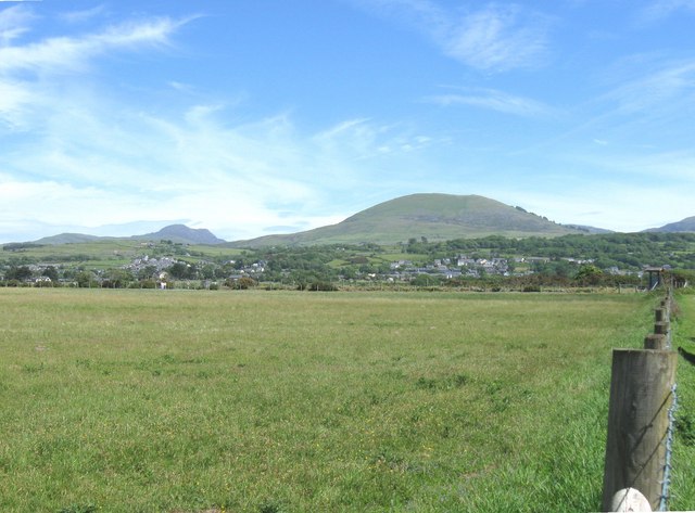
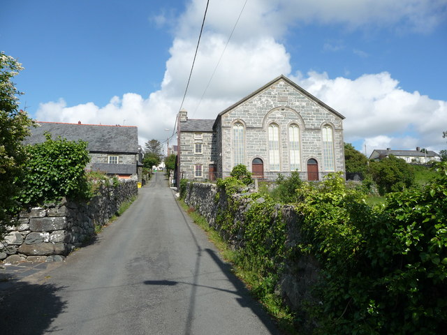
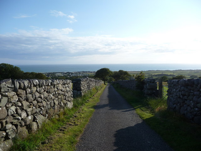
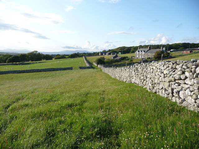
Coed Ystumgwern is a small village located in the county of Merionethshire, Wales. Situated in the picturesque Snowdonia National Park, it offers breathtaking views of the surrounding countryside and is known for its natural beauty.
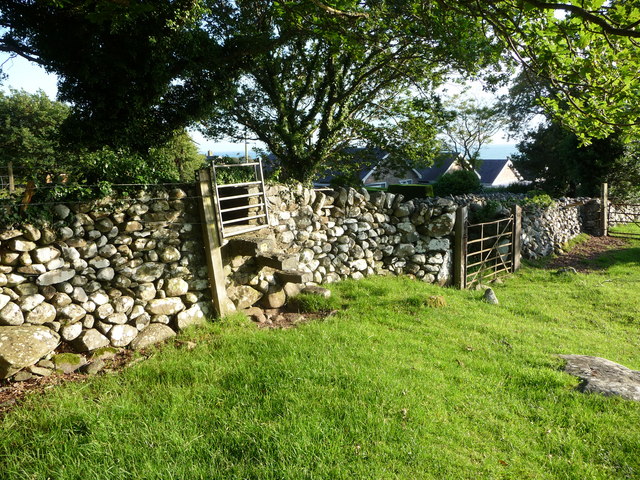
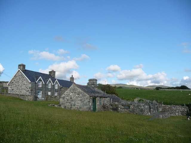
The village is home to a close-knit community, consisting of approximately 200 residents. Despite its small size, Coed Ystumgwern has a rich history that dates back several centuries. Many of the traditional stone houses and buildings still stand, adding to the village's charm and character.
One of the notable landmarks in Coed Ystumgwern is the local church, St. Michael's. Built in the 13th century, it is a fine example of Gothic architecture and is often admired for its intricate details and stained glass windows.
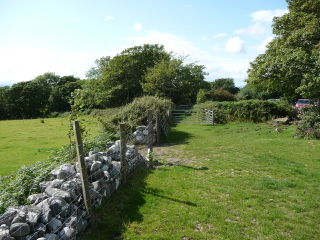
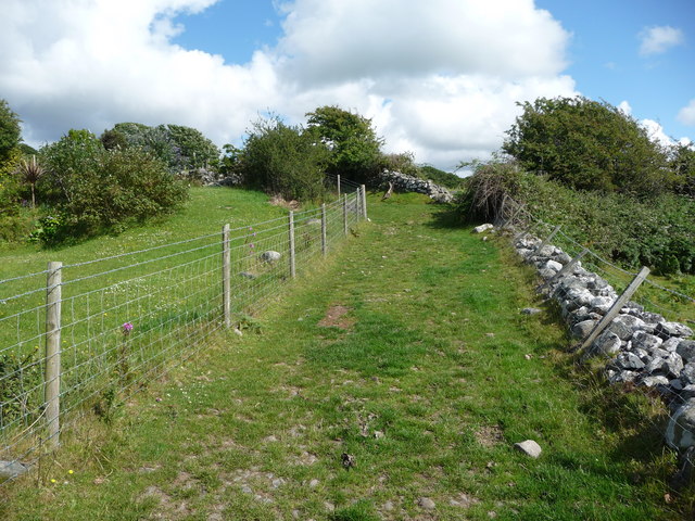
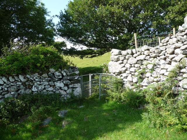
The village is also known for its proximity to outdoor recreational activities. The Snowdonia National Park offers a wide range of opportunities for hiking, mountain biking, and birdwatching. The nearby rivers and lakes provide excellent conditions for fishing and water sports.
In terms of amenities, Coed Ystumgwern has a small convenience store and a pub, both of which serve as gathering places for locals and visitors alike. The village is well-connected to larger towns and cities by road, making it easily accessible for those looking to explore the wider area.
Overall, Coed Ystumgwern is a hidden gem in the heart of Snowdonia National Park, offering a peaceful and idyllic setting for those seeking a retreat in nature.
If you have any feedback on the listing, please let us know in the comments section below.
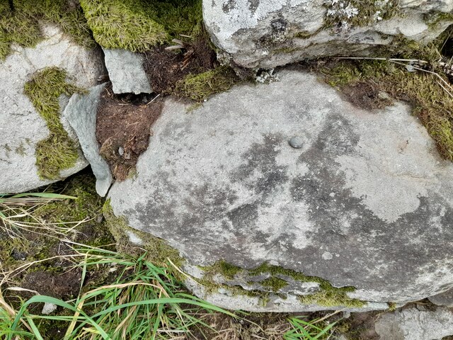
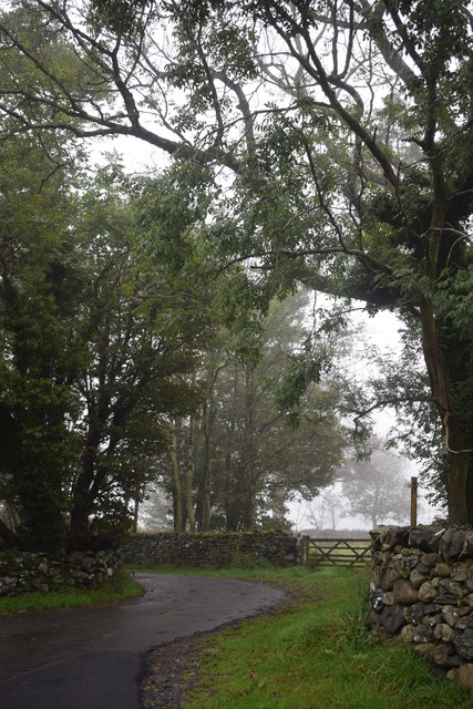
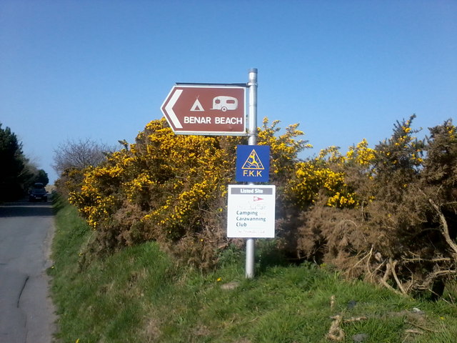
Coed Ystumgwern Images
Images are sourced within 2km of 52.79444/-4.097699 or Grid Reference SH5823. Thanks to Geograph Open Source API. All images are credited.


Coed Ystumgwern is located at Grid Ref: SH5823 (Lat: 52.79444, Lng: -4.097699)
Unitary Authority: Gwynedd
Police Authority: North Wales
What 3 Words
///toggle.thrashed.grinning. Near Tal-y-bont, Gwynedd
Nearby Locations
Related Wikis

Dyffryn Ardudwy
Dyffryn Ardudwy () is a village, community and electoral ward in the Ardudwy area of Gwynedd, Wales. It comprises several small, almost conjoined, villages...
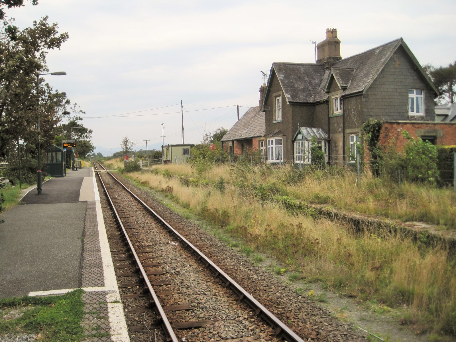
Dyffryn Ardudwy railway station
Dyffryn Ardudwy railway station serves the villages of Dyffryn Ardudwy, Coed Ystumgwern and Llanenddwyn in Gwynedd, Wales. Dyffryn Ardudwy gives its name...

St Dwywe's Church
St Dwywe’s Church is a Grade II* listed church in Llanddwywe, Gwynedd, North Wales.It has a curvilinear churchyard and farm buildings on its west. Its...

Afon Ysgethin
The Afon Ysgethin is a short river in Gwynedd, Wales. Flowing entirely within Snowdonia National Park it rises beneath the peaks of Y Llethr and Diffwys...
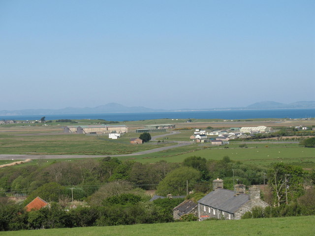
Llanbedr Airport
Llanbedr Airport (ICAO: EGFD) (Welsh: Maes Awyr Llanbedr), formerly RAE Llanbedr (ICAO: EGOD), is an operational general aviation airport located in the...

Talybont railway station
Talybont railway station serves the villages of Tal-y-bont and Llanddwywe in Gwynedd, Wales. The station is an unstaffed halt on the Cambrian Coast Railway...

Morfa Dyffryn
Morfa Dyffryn beach is on the west coast of Wales, between Barmouth and Harlech in Gwynedd. This sandy beach is several miles long and is chiefly known...
Tal-y-bont, Dyffryn Ardudwy
Tal-y-bont (otherwise Talybont) is a village north of the town of Barmouth in north Wales. Tal-y-bont has a railway station on the Cambrian Line and has...
Nearby Amenities
Located within 500m of 52.79444,-4.097699Have you been to Coed Ystumgwern?
Leave your review of Coed Ystumgwern below (or comments, questions and feedback).