Blackmoor Plantation
Wood, Forest in Herefordshire
England
Blackmoor Plantation
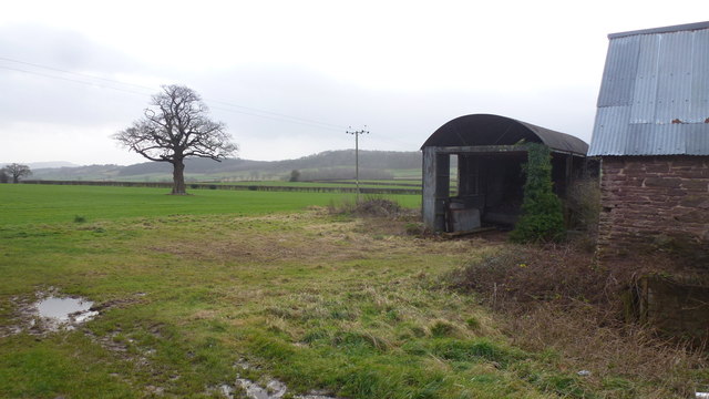
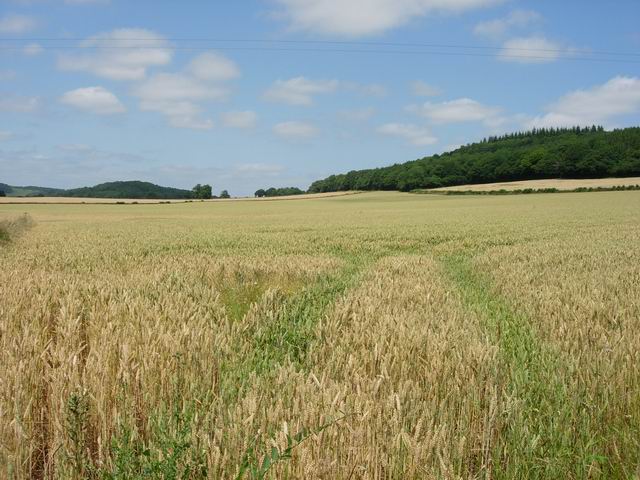
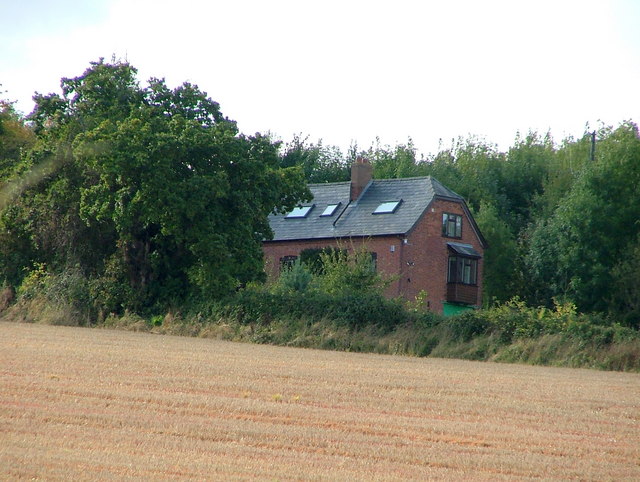
Blackmoor Plantation is a sprawling woodland located in the picturesque county of Herefordshire, England. Covering an area of approximately 500 acres, the plantation is renowned for its rich natural beauty and diverse ecosystem.
The plantation is predominantly composed of ancient oak trees, which lend an air of majesty and grandeur to the landscape. These towering giants provide a dense canopy, creating a cool and shaded environment below. The forest floor is carpeted with a variety of flora, including bluebells, ferns, and wild garlic, adding bursts of color and fragrance to the surroundings.
Blackmoor Plantation is also home to a multitude of wildlife species, making it a haven for nature enthusiasts and wildlife photographers. Red deer, foxes, badgers, and rabbits can often be spotted roaming freely throughout the woodland. Birdwatchers are treated to the melodic sounds of songbirds, such as thrushes and blackbirds, as well as the occasional sighting of woodpeckers and owls.
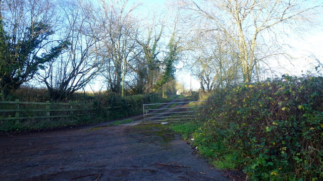
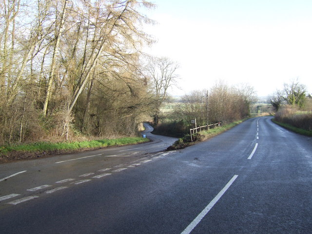
The plantation offers several walking trails, allowing visitors to explore its enchanting beauty at their own pace. These trails wind through the woods, crossing babbling brooks and leading to secluded clearings, providing ample opportunities for tranquil picnics and moments of solitude in nature.
Blackmoor Plantation is not only a sanctuary for flora and fauna but also plays a vital role in the preservation of the local ecosystem. Its ancient trees act as carbon sinks, contributing to the reduction of greenhouse gases and mitigating the effects of climate change.
Overall, Blackmoor Plantation stands as a testament to the natural wonders of Herefordshire, offering a haven of tranquility and a chance to reconnect with the beauty of the natural world.
If you have any feedback on the listing, please let us know in the comments section below.
Blackmoor Plantation Images
Images are sourced within 2km of 52.012613/-2.873824 or Grid Reference SO4035. Thanks to Geograph Open Source API. All images are credited.
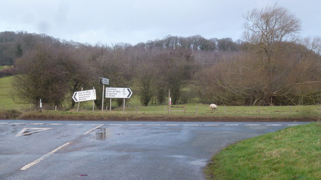


Blackmoor Plantation is located at Grid Ref: SO4035 (Lat: 52.012613, Lng: -2.873824)
Unitary Authority: County of Herefordshire
Police Authority: West Mercia
What 3 Words
///daunting.sprouting.increment. Near Kingstone, Herefordshire
Nearby Locations
Related Wikis

Kingstone High School
Kingstone High School is a mixed secondary school located in Kingstone in the English county of Herefordshire.Previously a community school administered...
RAF Madley
Royal Air Force Madley, or more simply RAF Madley, was a Royal Air Force station situated 6.2 miles (10 km) south west of Hereford in Herefordshire, England...
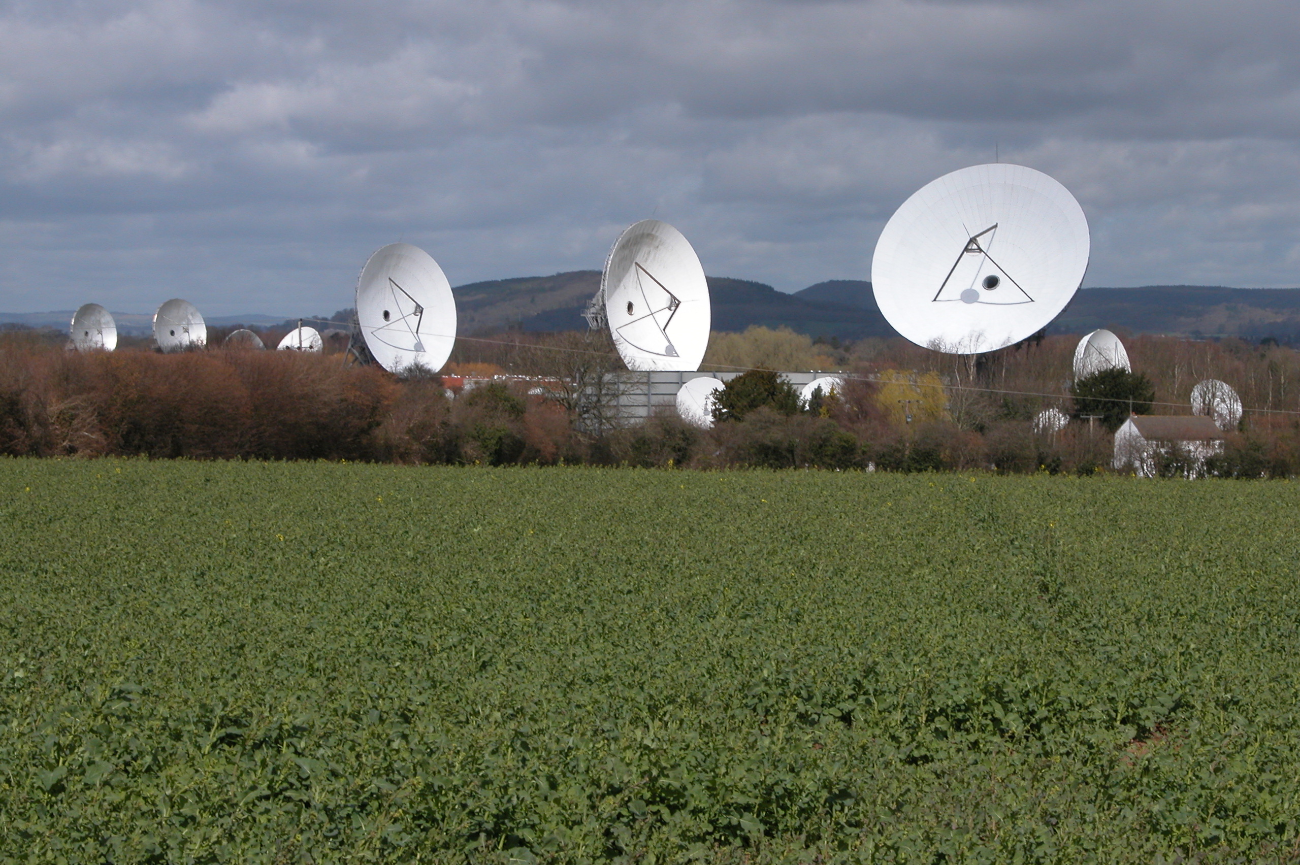
Madley Communications Centre
Madley Communications Centre is BT Group's earth satellite tracking station, between Madley and Kingstone, Herefordshire, England. == Earth position... ==

Bacton railway station
Bacton railway station was a station in Bacton, Herefordshire, England. It was located on the Great Western Railway branch line linking Pontrilas and Hay...
Nearby Amenities
Located within 500m of 52.012613,-2.873824Have you been to Blackmoor Plantation?
Leave your review of Blackmoor Plantation below (or comments, questions and feedback).