Coed Cwnwr

Settlement in Monmouthshire

Wales

Coed Cwnwr

Llan y Nant Cottage, Llangwm, Monmouthshire On the corner of Llanynant Road and Chapel Road.
Llan y Nant Cottage, Llangwm, Monmouthshire Credit: Jaggery

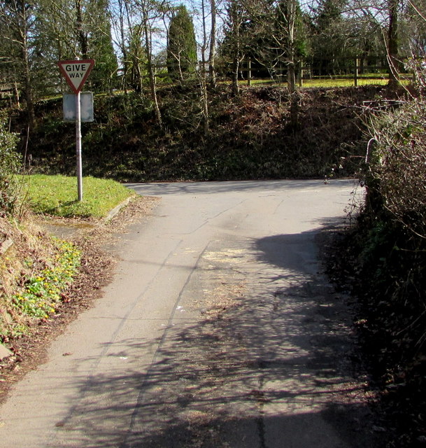
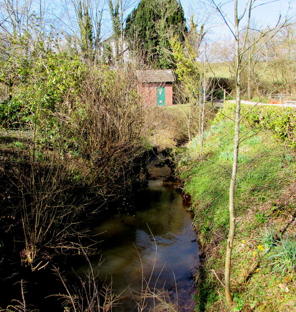
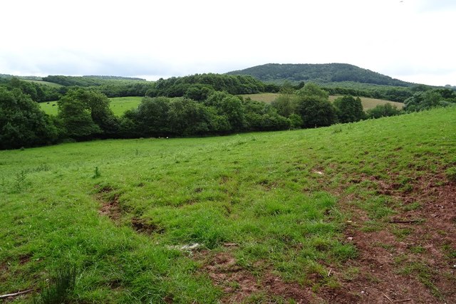
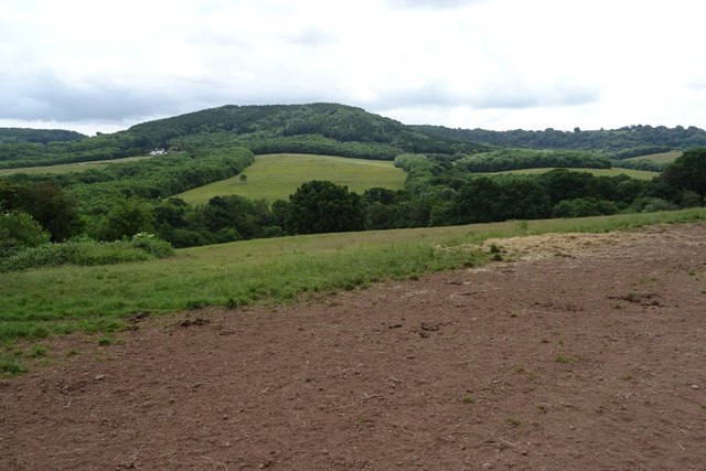
Coed Cwnwr is a small village located in Monmouthshire, Wales. Situated in the southeastern part of the county, it lies close to the border with the neighbouring county of Powys. The village is nestled amidst picturesque countryside, surrounded by rolling hills and lush green fields.

Coed Cwnwr boasts a population of around 300 residents, making it a close-knit and tight community. The village is known for its tranquillity and peaceful atmosphere, offering a welcome escape from the hustle and bustle of city life. It is an ideal destination for those seeking a quiet retreat or a peaceful countryside getaway.

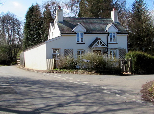
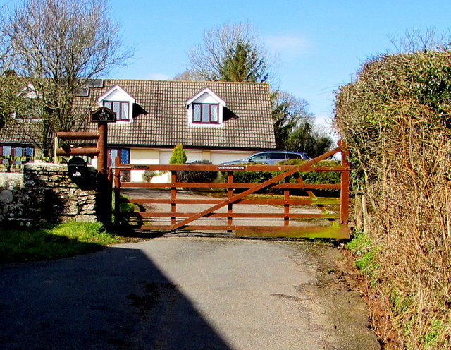
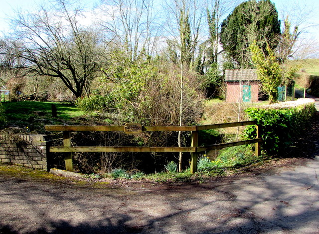
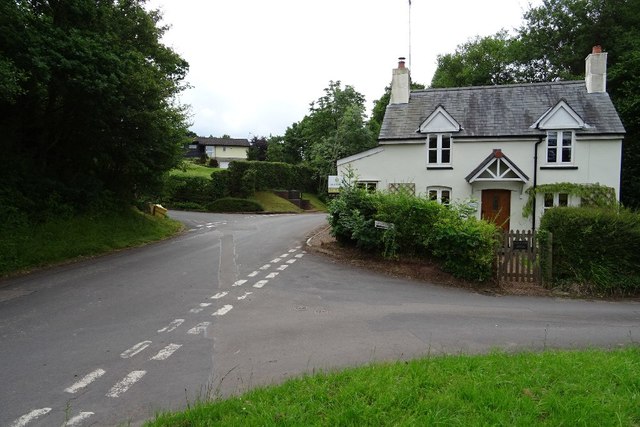
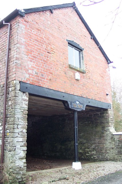
The village is primarily residential, with a scattering of traditional cottages and charming houses. The architecture reflects the area's rich history, showcasing a mix of traditional Welsh designs and more modern styles. A small church stands at the heart of the village, serving as a focal point for religious and community gatherings.

Surrounding Coed Cwnwr are ample opportunities for outdoor activities and exploration. The nearby hills and countryside provide fantastic hiking trails, offering breathtaking views of the surrounding landscape. The village is also conveniently located close to the Wye Valley, a designated Area of Outstanding Natural Beauty, which attracts visitors from far and wide.

Although Coed Cwnwr is a quiet village, it benefits from its proximity to larger towns and cities. The bustling market town of Abergavenny is just a short drive away, providing residents with access to amenities such as shops, restaurants, and schools.

Overall, Coed Cwnwr is a charming and peaceful village, offering a serene retreat in the heart of the Welsh countryside.

If you have any feedback on the listing, please let us know in the comments section below.

Coed Cwnwr Images

Images are sourced within 2km of 51.686642/-2.8548598 or Grid Reference ST4199. Thanks to Geograph Open Source API. All images are credited.

Llan y Nant Cottage, Llangwm, Monmouthshire On the corner of Llanynant Road and Chapel Road.
Llan y Nant Cottage, Llangwm, Monmouthshire
On the corner of Llanynant Road and Chapel Road.
Junction of Chapel Road and Llanynant Road, Llangwm, Monmouthshire The Give Way sign on the corner of Llanynant Road faces Chapel Road.
Junction of Chapel Road and Llanynant Road, Llangwm, Monmouthshire
The Give Way sign on the corner of Llanynant Road faces Chapel Road.
Entrance to Chapel Farm, Llangwm, Monmouthshire From the western end of Chapel Road, 120 metres west of the Llanynant Road junction.
Entrance to Chapel Farm, Llangwm, Monmouthshire
From the western end of Chapel Road, 120 metres west of the Llanynant Road junction.
North side of Salem Baptist Chapel, Llangwm, Monmouthshire Viewed from Chapel Road. Built in 1840, the chapel was Grade II listed in 2000.
North side of Salem Baptist Chapel, Llangwm, Monmouthshire
Viewed from Chapel Road. Built in 1840, the chapel was Grade II listed in 2000.
No Through Road sign at the eastern end of Chapel Road,  Llangwm, Monmouthshire Facing Llanynant Road. Chapel Road extends ahead for 120 metres to the entrance <a title="https://www.geograph.org.uk/photo/5720377" href="https://www.geograph.org.uk/photo/5720377">Link</a> to Chapel Farm.
No Through Road sign at the eastern end of Chapel Road, Llangwm, Monmouthshire
Facing Llanynant Road. Chapel Road extends ahead for 120 metres to the entrance Link to Chapel Farm.
Coed Cwnwr Pumping Station, Llangwm, Monmouthshire The brick building is in a Welsh Water site above the brook named Nant y March. Viewed from Chapel Road.
Coed Cwnwr Pumping Station, Llangwm, Monmouthshire
The brick building is in a Welsh Water site above the brook named Nant y March. Viewed from Chapel Road.
Nant y March, Llangwm, Monmouthshire Brook (or stream) below Chapel Road. Coed Cwnwr Pumping Station <a title="https://www.geograph.org.uk/photo/5720426" href="https://www.geograph.org.uk/photo/5720426">Link</a> is in the background.
Nant y March, Llangwm, Monmouthshire
Brook (or stream) below Chapel Road. Coed Cwnwr Pumping Station Link is in the background.
Cefn Bychan Close name sign on a fence, Llangwm, Monmouthshire The wooden sign is on a wooden fence above Nant y March. <a title="https://www.geograph.org.uk/photo/5720437" href="https://www.geograph.org.uk/photo/5720437">Link</a> 
Cefn Bychan Close houses are beyond the left edge of the photo. 
Chapel Road is beyond the right edge. 
The brick building <a title="https://www.geograph.org.uk/photo/5720426" href="https://www.geograph.org.uk/photo/5720426">Link</a> is Coed Cwnwr Pumping Station.
Cefn Bychan Close name sign on a fence, Llangwm, Monmouthshire
The wooden sign is on a wooden fence above Nant y March. Link Cefn Bychan Close houses are beyond the left edge of the photo. Chapel Road is beyond the right edge. The brick building Link is Coed Cwnwr Pumping Station.
Cottage in Llangwm Cottage on the corner of Chapel Road and Llanynant Road in Llangwm.
Cottage in Llangwm
Cottage on the corner of Chapel Road and Llanynant Road in Llangwm.
Farmland near Nantymark Farmland near Nantymark south of the village of Llangwm.
Farmland near Nantymark
Farmland near Nantymark south of the village of Llangwm.
View to Trevella Big Wood View to Trevella Big Wood on Golden Hill, south of the village of Llangwm
View to Trevella Big Wood
View to Trevella Big Wood on Golden Hill, south of the village of Llangwm
Farmland above Nant-y-March Farmland in the valley of Nant y March to the south of Llangwm.
Farmland above Nant-y-March
Farmland in the valley of Nant y March to the south of Llangwm.
Unsuitable for heavy goods vehicles The signs reads 'Unsuitable for heavy goods vehicles', I not sure it is even a through road having looked at the OS map.  Pictured at a country road junction at Coed Cwnwr.
Unsuitable for heavy goods vehicles
The signs reads 'Unsuitable for heavy goods vehicles', I not sure it is even a through road having looked at the OS map. Pictured at a country road junction at Coed Cwnwr.
Road above Llewelyn's Dingle Country road to Llanllowell, above Llewelyn's Dingle.
Road above Llewelyn's Dingle
Country road to Llanllowell, above Llewelyn's Dingle.
Stable block at Cefn Bychan Farm Empty at the time of photographing.
Stable block at Cefn Bychan Farm
Empty at the time of photographing.
Carna Cottage House is named on OS mapping and viewed from the public road.
Carna Cottage
House is named on OS mapping and viewed from the public road.
Extended cottage At Coed-Cwnwr.
Extended cottage
At Coed-Cwnwr.
Moggies in hiding At Coed-Cwnwr Farm
Moggies in hiding
At Coed-Cwnwr Farm
Show me another place!

Coed Cwnwr is located at Grid Ref: ST4199 (Lat: 51.686642, Lng: -2.8548598)

Unitary Authority: Monmouthshire

Police Authority: Gwent

What 3 Words

///affair.installs.bride. Near Llangwm, Monmouthshire

Nearby Locations

Coed Cwnwr Coed-Cwnwr

Related Wikis

Llantrisant Fawr

Llantrisant Fawr is a community in Monmouthshire, Wales. Villages within the community include Llantrisant and Llanllowell. The community council has three...

Allt-y-Bela

Allt-y-Bela in Llangwm, Monmouthshire, Wales, is a house of late medieval origin with additions from the sixteenth to the twenty-first centuries. During...

Nantybanw, Llantrisant

Nantybanw, Llantrisant in Monmouthshire, Wales is a country house dating from 1625. The house is Grade II* listed and the associated farm buildings have...

Llanllowell

Llanllowell (Welsh: Llanllywel) is a village in Monmouthshire, southeast Wales, in the United Kingdom. It is two miles southeast of Usk, in the community...

Pentwyn, Llanllowell

Pentwyn, Llanllowell, Monmouthshire is a farmhouse dating from the mid-16th century. The house is Grade II* listed, with the adjacent barn having its own...

Llangwm, Monmouthshire

Llangwm is a small rural village and former community, now in the community of Llantrisant Fawr, in Monmouthshire, south east Wales. It is located 3 miles...

St Jerome's Church, Llangwm

The Church of St Jerome stands in the settlement of Llangwm Uchaf, (upper) Llangwm, in a remote part of Monmouthshire, Wales. Originally constructed in...

St David's Church, Llangeview

St David's Church, Llangeview, is a redundant church sited in a round churchyard adjacent to the junction of the A449 and A472 roads 1 mile (1.6 km) to...

Nearby Amenities

Located within 500m of 51.686642,-2.8548598
Direction: 170
Generator Method: photovoltaic
Generator Output Electricity: yes
Generator Solar Modules: 16
Generator Source: solar
Generator Type: solar_photovoltaic_panel
Location: roof
Power: generator
Lat/Long: 51.6872712/-2.8498364
Direction: SSE
Generator Method: photovoltaic
Generator Output Electricity: yes
Generator Solar Modules: 16
Generator Source: solar
Generator Type: solar_photovoltaic_panel
Location: roof
Power: generator
Lat/Long: 51.6887187/-2.8546804
Direction: ENE
Fixme: might be solar thermal (but a bit large if so)
Generator Method: photovoltaic
Generator Output Electricity: yes
Generator Solar Modules: 4
Generator Source: solar
Generator Type: solar_photovoltaic_panel
Location: roof
Power: generator
Lat/Long: 51.6871623/-2.8513816
Direction: WSW
Fixme: might be solar thermal (but a bit large if so)
Generator Method: photovoltaic
Generator Output Electricity: yes
Generator Solar Modules: 4
Generator Source: solar
Generator Type: solar_photovoltaic_panel
Location: roof
Power: generator
Lat/Long: 51.6871511/-2.8514195
The data included in this document is from www.openstreetmap.org. The data is made available under ODbL.

Have you been to Coed Cwnwr?

Leave your review of Coed Cwnwr below (or comments, questions and feedback).