Astley's Plantation
Wood, Forest in Lancashire South Lakeland
England
Astley's Plantation

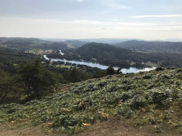
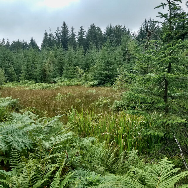
Astley's Plantation is a picturesque woodland located in Lancashire, England. It is a part of the larger Astley Park, which encompasses over 200 acres of land. The plantation is situated on the eastern side of the park, and it is known for its dense forest cover and natural beauty.
The woodland is home to a diverse range of tree species, including oak, beech, ash, and birch. The tall, mature trees create a canopy that provides shade and shelter to numerous animal species, making it a haven for wildlife enthusiasts and nature lovers.
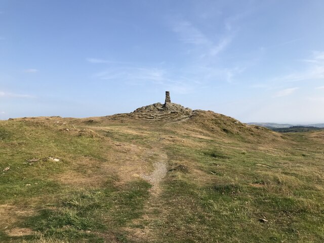
Astley's Plantation offers several walking trails that allow visitors to explore the woodland at their own pace. These trails are well-maintained and provide stunning views of the surrounding landscape. The tranquility and peacefulness of the plantation make it a popular spot for walkers, joggers, and families looking to escape the hustle and bustle of city life.
In addition to its natural beauty, Astley's Plantation also has a rich historical significance. The area was once part of a larger estate owned by the Astley family, hence the name of the plantation. The remnants of an old walled garden can still be seen within the woodland, adding to its charm and allure.
Overall, Astley's Plantation is a hidden gem within Lancashire, offering a serene and idyllic environment for nature enthusiasts and history buffs alike. Its lush forest, wildlife, and historical features make it a must-visit destination for anyone seeking a peaceful retreat in the heart of Lancashire.
If you have any feedback on the listing, please let us know in the comments section below.
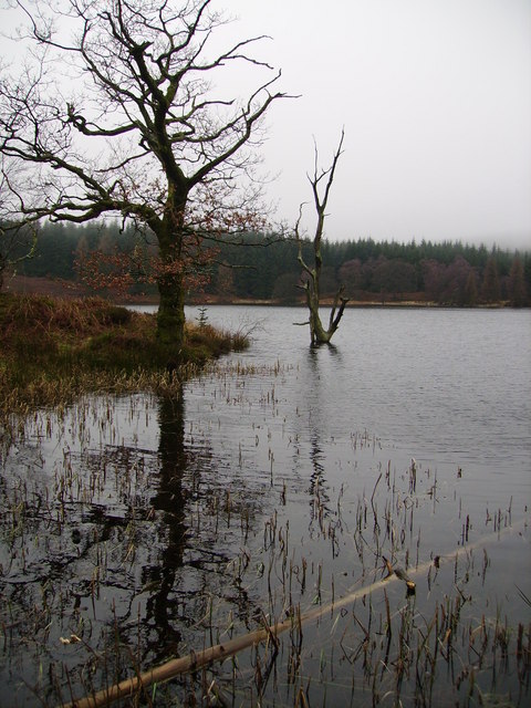
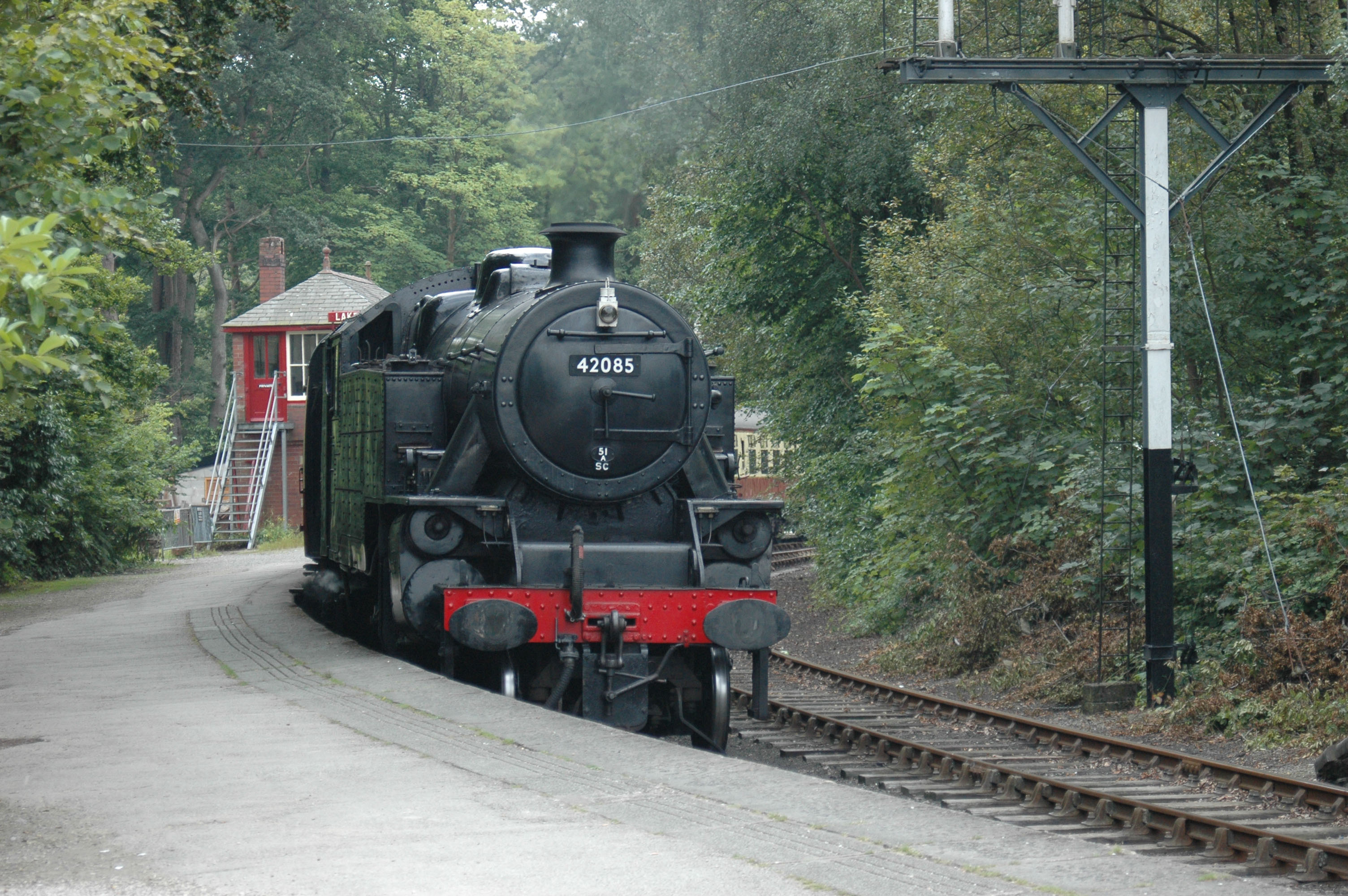
Astley's Plantation Images
Images are sourced within 2km of 54.279355/-2.9352007 or Grid Reference SD3987. Thanks to Geograph Open Source API. All images are credited.

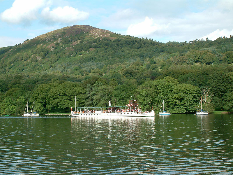
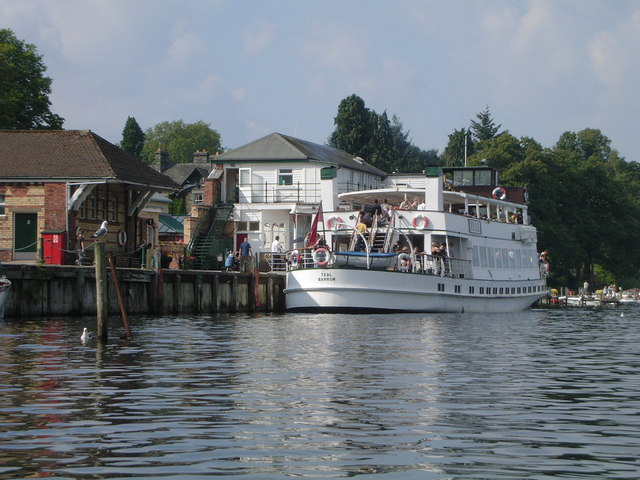
![Boat on the River Leven Heading upstream [locally north] towards Fell Foot and Lakeside.](https://s2.geograph.org.uk/geophotos/06/91/69/6916926_036d6930.jpg)


Astley's Plantation is located at Grid Ref: SD3987 (Lat: 54.279355, Lng: -2.9352007)
Administrative County: Cumbria
District: South Lakeland
Police Authority: Cumbria
What 3 Words
///durations.cornfield.emphasis. Near Grange-over-Sands, Cumbria
Nearby Locations
Related Wikis
Staveley Fell
Staveley Fell is an upland area in the English Lake District, near (and named for) Staveley-in-Cartmel (not to be confused with Staveley-in-Westmorland...
Gummer's How
Gummer's How is a hill in the southern part of the Lake District, on the eastern shore of Windermere, near its southern end. How, derived from the Old...
Fell Foot Park
Fell Foot Park is a country park situated at the southern end of Windermere in Cumbria, the largest lake in England. It is north of Newby Bridge in the...
Simpson Ground Reservoir
Simpson Ground Reservoir is a reservoir in Cumbria, England, near the southeastern end of Windermere. It is located within a Forestry Commission conifer...

Heights Tarn
Heights Tarn is a small lake to the east of Windermere and north of Simpson Ground Reservoir, near Cartmel Fell, in the Lake District of Cumbria, England...
Lakeside railway station (England)
Lakeside railway station is on the heritage Lakeside and Haverthwaite Railway in England. It was previously the terminus of the Furness Railway Ulverston...

Lakes Aquarium
The Lakes Aquarium is an aquarium in the village of Lakeside on the southern shore of Windermere, Cumbria, England. It is one of the docking points of...
Lakeside, Cumbria
Lakeside is a village in Newby Bridge at the south end of Windermere, England. Now in the county of Cumbria, before county reorganisation of 1974 it was...
Related Videos
THE SCENIC VIEW OF LAKE SIDE LAKE DITRICT IN CUMBRIA NORTHWEST ENGLAND UNITED KINGDOM
My second visit here, days of new experiences, it's a unique day out for all. The scenic view of the lake is breathtaking, friendly ...
Gummer's How: A Wainwright Lake District Walk
I recently visited Hallin Fell for my fourth sunrise hike of the year. Afterwards we headed over to windermere to walk up Gummer's ...

Lake District Valentines Day Getaway | The Swan Hotel & Spa, Cumbria
Geraldine and I had the most incredible Valentines Day Getaway at The Swan Hotel & Spa. We need to do this more often!

You🫶 #shortsvideo #inspirationalquotes
travel #youtubeshorts #shortsvideo #vlog #trending #love #viral #lakeside #steamtrain #russian #russiansong #trendingshorts ...
Nearby Amenities
Located within 500m of 54.279355,-2.9352007Have you been to Astley's Plantation?
Leave your review of Astley's Plantation below (or comments, questions and feedback).