Big Island Plantation
Wood, Forest in Herefordshire
England
Big Island Plantation
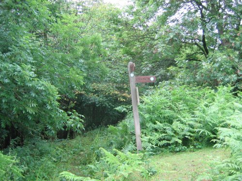
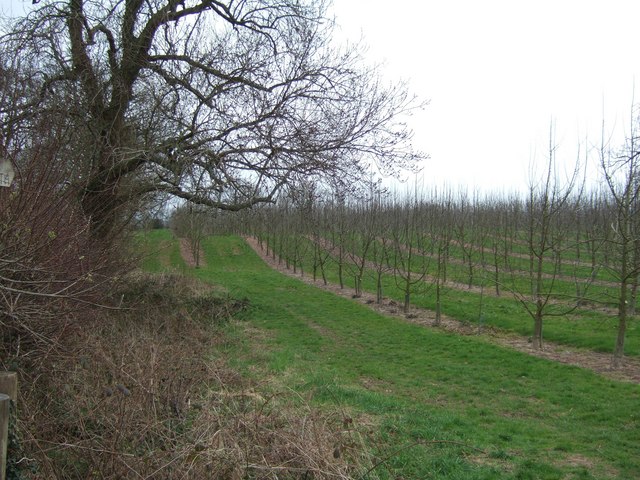
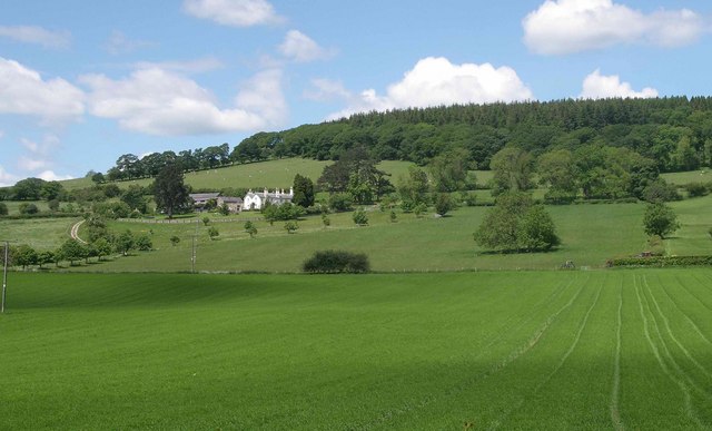
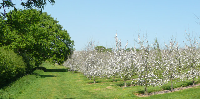
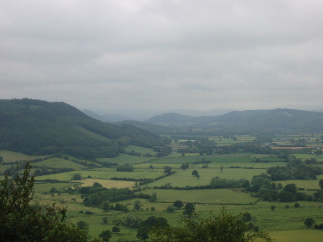
Big Island Plantation is a picturesque woodland situated in the heart of Herefordshire, a county in the West Midlands region of England. Spanning over a vast area, this plantation is renowned for its beautiful woodlands and lush forests, offering visitors a serene and tranquil escape from the hustle and bustle of everyday life.
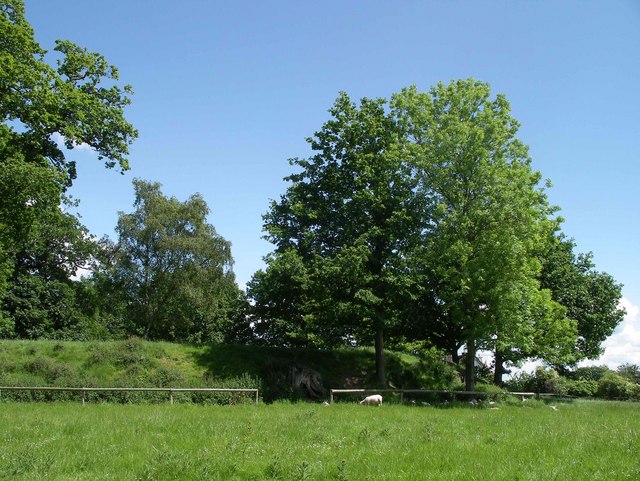
The plantation is characterized by its diverse range of tree species, creating a rich and vibrant ecosystem. Towering oaks, majestic beech trees, and slender silver birches dominate the landscape, providing a stunning backdrop for nature enthusiasts and hikers alike. The woodland floor is adorned with a carpet of wildflowers, adding bursts of color to the scenery throughout the seasons.
Big Island Plantation is also home to a myriad of wildlife, including various bird species, mammals, and insects. Nature enthusiasts can spot elusive creatures such as deer, foxes, owls, and an array of butterflies while exploring the plantation's well-maintained trails.
The plantation offers a range of recreational activities for visitors. Hiking and walking trails provide an opportunity to explore the woodland at one's own pace, while designated picnic areas offer the perfect spot to enjoy a leisurely lunch amidst nature's serenity. Additionally, the plantation organizes educational programs and workshops to raise awareness about the importance of conservation and sustainable practices.
Whether it's a peaceful stroll through the woods, a bird-watching expedition, or a family picnic, Big Island Plantation in Herefordshire offers a true escape into nature's embrace, leaving visitors with lasting memories of its natural beauty and tranquility.
If you have any feedback on the listing, please let us know in the comments section below.
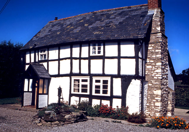
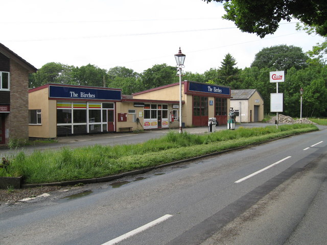
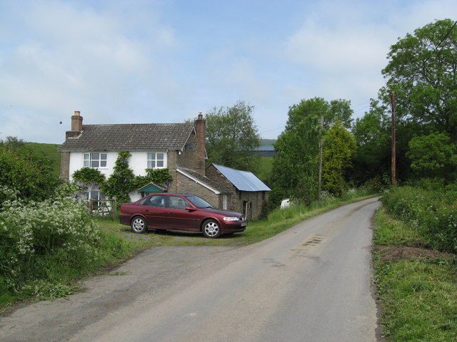
Big Island Plantation Images
Images are sourced within 2km of 52.256981/-2.8930363 or Grid Reference SO3962. Thanks to Geograph Open Source API. All images are credited.


Big Island Plantation is located at Grid Ref: SO3962 (Lat: 52.256981, Lng: -2.8930363)
Unitary Authority: County of Herefordshire
Police Authority: West Mercia
What 3 Words
///taxi.reporter.cakewalk. Near Kinsham, Herefordshire
Related Wikis

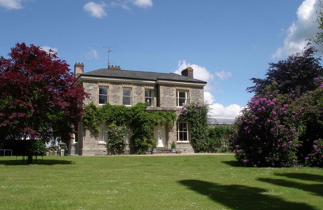
Shobdon Court
Shobdon Court was an 18th-century English country house in the village of Shobdon, near Leominster, Herefordshire. Although the main house has since been...

St John's Church, Shobdon
The Church of St John is a Church of England parish church at Shobdon in the English county of Herefordshire. Of 14th century origins, the church was...

Shobdon Priory
Shobdon Priory was a priory in Herefordshire, England at grid reference SO40106284.The church dated from 1140 and was demolished in the 18th century....

Shobdon
Shobdon is a village and civil parish in Herefordshire, England, about 15 miles north of Hereford, six miles west of Leominster, and 2 miles southwest...
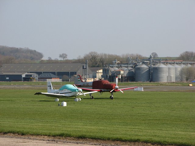
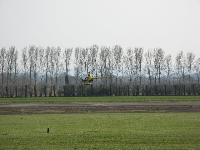
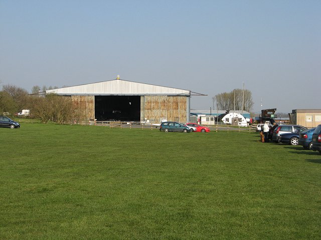
Shobdon Airfield
Shobdon Airfield (ICAO: EGBS) is an airport 6 NM (11 km; 6.9 mi) west of Leominster, Herefordshire, England. == RAF Shobdon == Shobdon started as a British...

Byton, Herefordshire
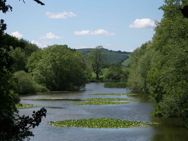
Byton is a village and civil parish in Herefordshire, England. Byton is situated on the River Lugg, near the border with Wales. According to the 2001...
Combe Moor
Combe Moor, also known as Coombes Moor, is a linear hamlet in the civil parish of Byton in Herefordshire, England, to the south-east of the Welsh town...
Kinsham Grange
Kinsham Grange may have been a priory near the River Lugg in Herefordshire, England at grid reference SO380652. It now seems likely that an error by John...
Nearby Amenities
Located within 500m of 52.256981,-2.8930363Have you been to Big Island Plantation?
Leave your review of Big Island Plantation below (or comments, questions and feedback).