Blenket Wood
Wood, Forest in Lancashire South Lakeland
England
Blenket Wood

Blenket Wood is a picturesque forest located in Lancashire, England. Covering an area of approximately 100 acres, it is renowned for its natural beauty and diverse wildlife. The wood is situated near the village of Blenket and is easily accessible by foot or bicycle.
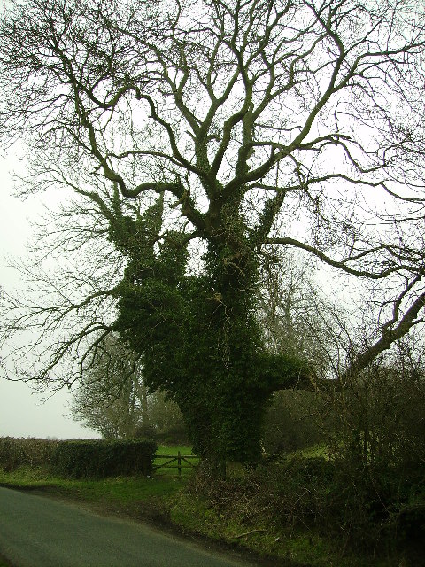
As visitors enter Blenket Wood, they are greeted by a dense canopy of tall, mature trees that create a tranquil and peaceful atmosphere. The wood is predominantly composed of broadleaf trees, including oak, beech, and ash, which provide a rich habitat for a variety of plants and animals.
The forest floor is covered in a thick carpet of moss, ferns, and wildflowers, creating a vibrant and colorful landscape. Throughout the wood, there are several well-maintained walking trails that wind through the trees, offering visitors the opportunity to explore and appreciate the natural surroundings.
Blenket Wood is also home to a diverse range of wildlife. Birdwatchers often flock to the area to catch sight of various species, including woodpeckers, jays, and tawny owls. Additionally, the wood provides an ideal habitat for mammals such as deer, foxes, and badgers.
The wood is managed by the local conservation trust, ensuring its protection and preservation for future generations. It is a popular destination for nature lovers, hikers, and those seeking a peaceful retreat in the heart of Lancashire's countryside.
In conclusion, Blenket Wood is a stunning forest in Lancashire, offering visitors a chance to immerse themselves in nature and experience the beauty of the British countryside.
If you have any feedback on the listing, please let us know in the comments section below.
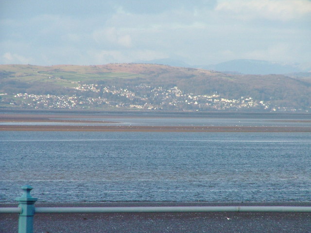
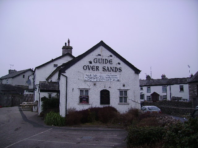
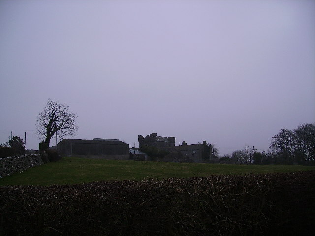
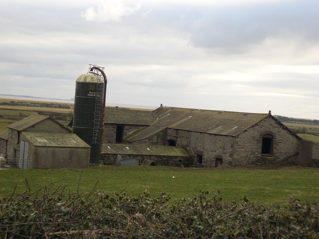
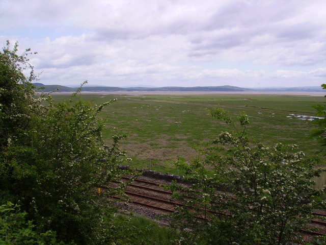
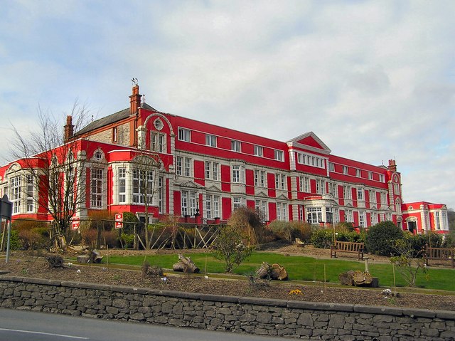
Blenket Wood Images
Images are sourced within 2km of 54.175102/-2.9345777 or Grid Reference SD3975. Thanks to Geograph Open Source API. All images are credited.


Blenket Wood is located at Grid Ref: SD3975 (Lat: 54.175102, Lng: -2.9345777)
Administrative County: Cumbria
District: South Lakeland
Police Authority: Cumbria
What 3 Words
///disbelief.flask.unearthly. Near Grange-over-Sands, Cumbria
Nearby Locations
Related Wikis
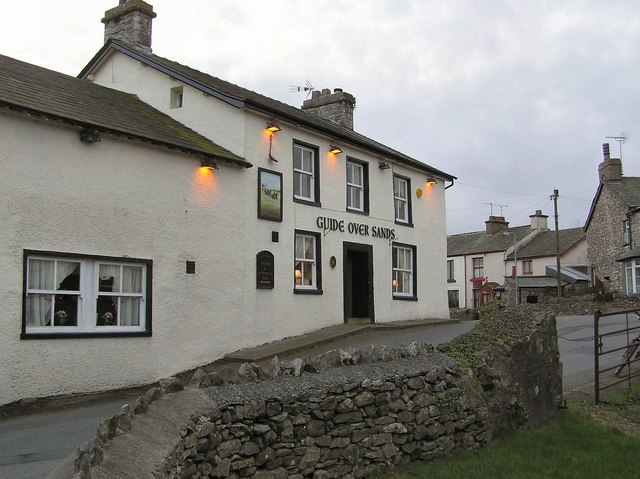
Kents Bank
Kents Bank is a small village in Cumbria, England, so named for its proximity to the River Kent estuary. Part of the historic County Palatine of Lancashire...

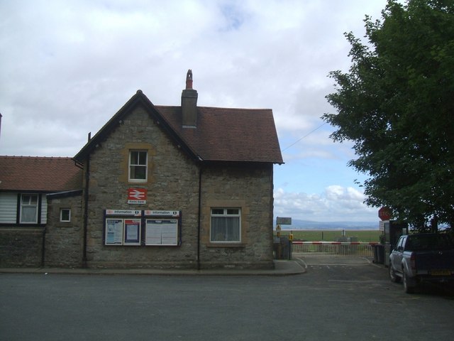
Kents Bank railway station
Kents Bank is a railway station on the Furness Line, which runs between Barrow-in-Furness and Lancaster. The station, situated 17+1⁄4 miles (28 km) north...

Allithwaite
Allithwaite is a small village in Cumbria, England, located roughly 1.2 miles (1.9 km) west of Grange-over-Sands. Most of its residents commute to local...

Lower Allithwaite
Lower Allithwaite is a civil parish in the South Lakeland district of the English county of Cumbria. It includes the villages of Allithwaite and Cartmel...

Lindale and Newton-in-Cartmel
Lindale and Newton-in-Cartmel, formerly Upper Allithwaite (sometimes Allithwaite Upper) is a civil parish in the Westmorland and Furness district, in the...
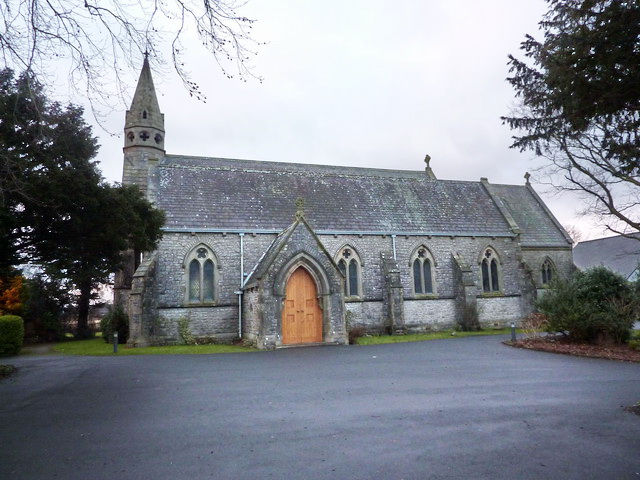
St Mary's Church, Allithwaite
St Mary's Church is in the village of Allithwaite, Cumbria, England. It is an active Anglican parish church in the deanery of Windermere, the archdeacon...

Wraysholme Halt railway station
Wraysholme Halt was a railway station on the Furness Railway in the Furness exclave of Lancashire. Situated between Cark and Cartmel and Kents Bank the...
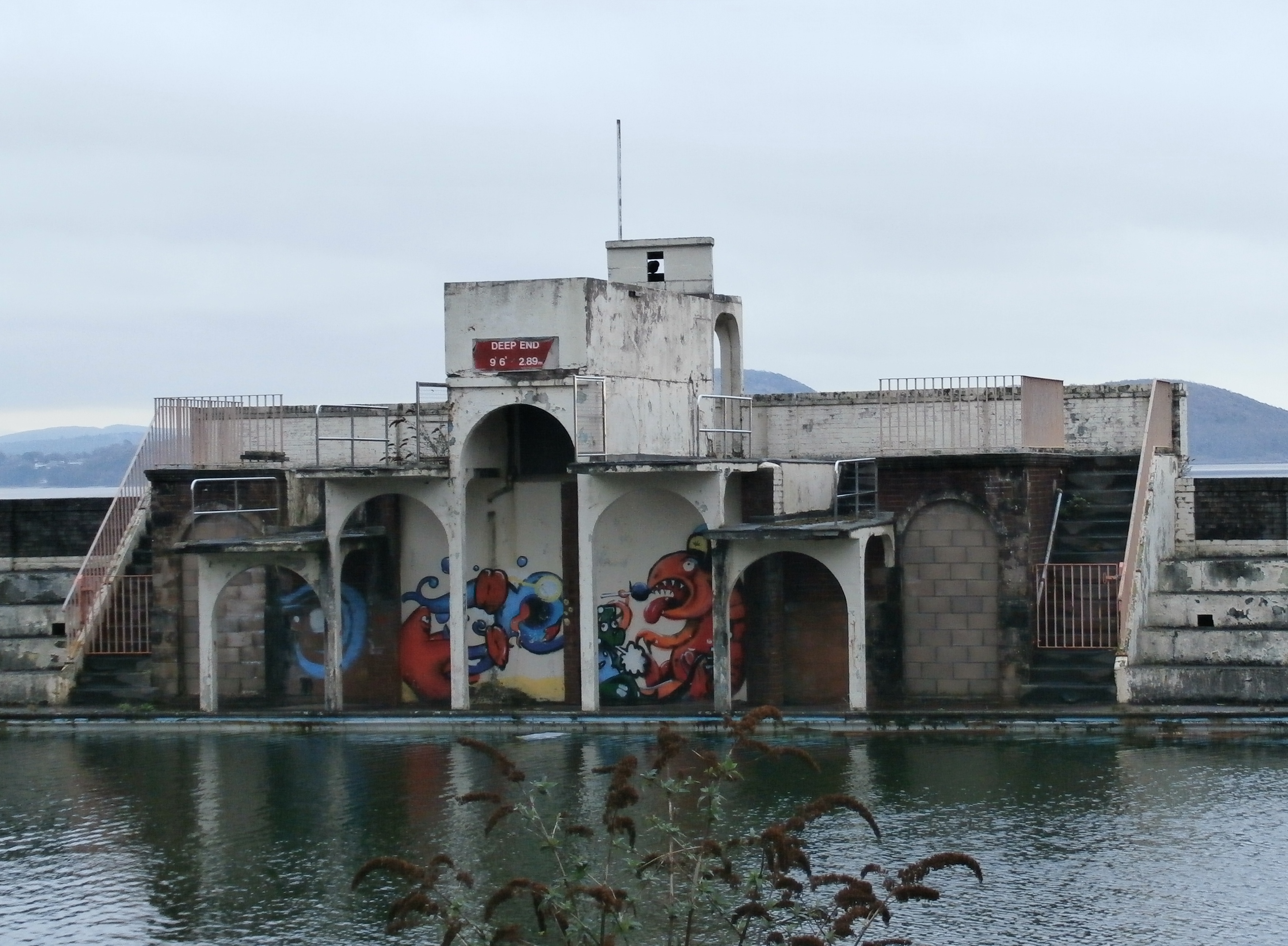
Grange Lido
Grange Lido is an open-air 50 m sea-water swimming pool, or lido, in Grange-over-Sands, Cumbria, England. It opened in 1932 and closed in 1993, but campaigners...
Nearby Amenities
Located within 500m of 54.175102,-2.9345777Have you been to Blenket Wood?
Leave your review of Blenket Wood below (or comments, questions and feedback).