Ashcombe Copse

Wood, Forest in Somerset South Somerset

England

Ashcombe Copse

St Michael's Church Wayford - interior Built in the 13th C and Grade II listed.
St Michael's Church Wayford - interior Credit: Sarah Smith

Ashcombe Copse is a beautiful woodland located in Somerset, England. Covering an area of approximately 30 hectares, it is a prominent feature of the local landscape. The copse is situated near the village of Ashcombe, hence its name.

The woodland is predominantly composed of deciduous trees, including oak, beech, and ash, which create a stunning canopy during the summer months. These trees provide a habitat for a wide variety of wildlife, including birds, insects, and small mammals.

Ashcombe Copse is intersected by several footpaths, making it easily accessible for walkers and nature enthusiasts. The paths wind through the woodland, offering visitors the opportunity to explore its diverse flora and fauna. The copse also boasts a small stream that adds to its picturesque charm.

Due to its natural beauty and ecological significance, Ashcombe Copse has been designated as a Site of Special Scientific Interest (SSSI). This designation ensures the protection of the woodland's unique features and encourages the preservation of its biodiversity.

The copse is a popular destination for locals and tourists alike, attracting visitors throughout the year. It offers a peaceful retreat from the hustle and bustle of everyday life, allowing individuals to immerse themselves in nature's serenity.

Overall, Ashcombe Copse is a treasured woodland in Somerset, known for its stunning trees, abundant wildlife, and tranquil ambiance. It serves as a valuable sanctuary for both nature lovers and the local ecosystem.

If you have any feedback on the listing, please let us know in the comments section below.

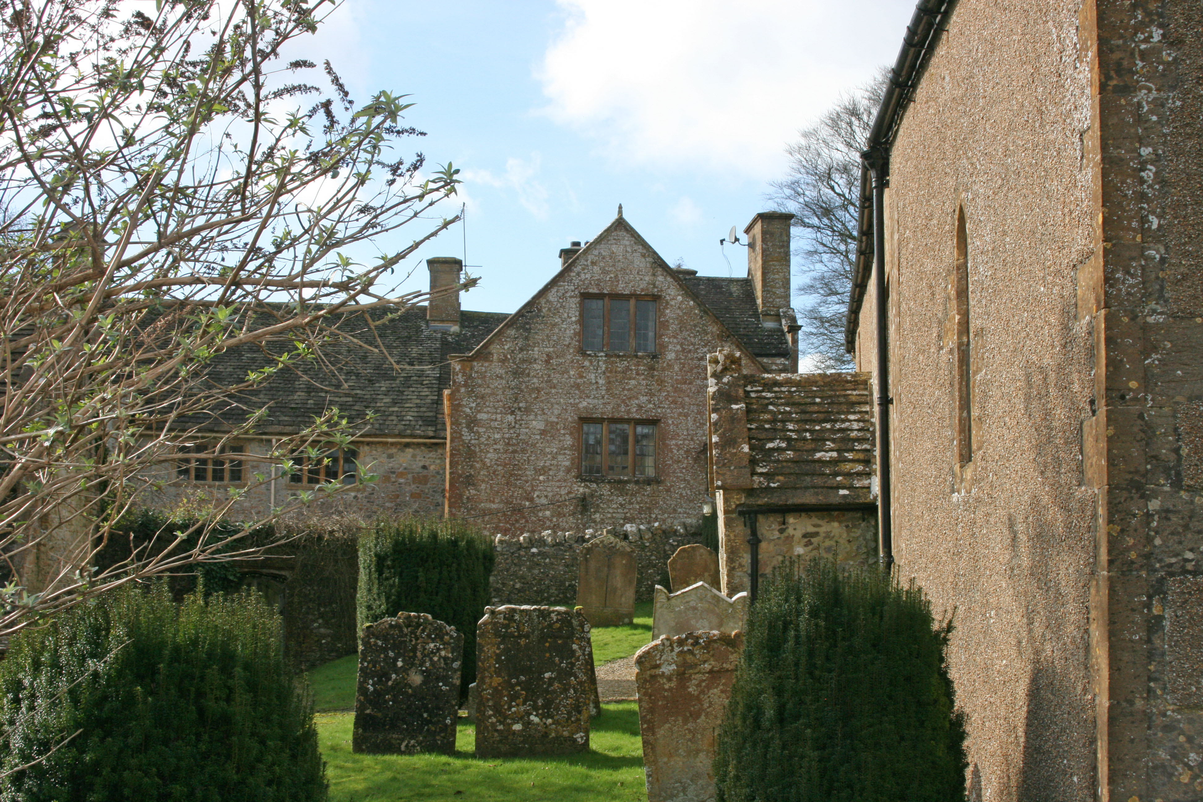
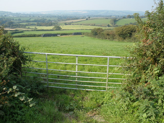
Ashcombe Copse Images

Images are sourced within 2km of 50.852929/-2.8681207 or Grid Reference ST3806. Thanks to Geograph Open Source API. All images are credited.

St Michael's Church Wayford - interior Built in the 13th C and Grade II listed.
St Michael's Church Wayford - interior
Built in the 13th C and Grade II listed.
Wayford Manor Once home to the Daubeney and Pinney families, Wayford Manor was rebuilt circa 1602 from a much earlier dwelling for Giles Daubeney.  Since then it has been added to and restored a number of times.
Wayford Manor
Once home to the Daubeney and Pinney families, Wayford Manor was rebuilt circa 1602 from a much earlier dwelling for Giles Daubeney. Since then it has been added to and restored a number of times.
Wayford Manor - garden The garden is terraced and sloping and partly wooded with many beautiful hidden corners, plants and trees.  It is open to the public once a year.
Wayford Manor - garden
The garden is terraced and sloping and partly wooded with many beautiful hidden corners, plants and trees. It is open to the public once a year.
St. Michael and All Angels, Wayford, Somerset The style of windows would indicate that construction was some time during the 13th-century, although the rendering could have been applied during a restoration in 1902. It was during that restoration that the North aisle was built.
St. Michael and All Angels, Wayford, Somerset
The style of windows would indicate that construction was some time during the 13th-century, although the rendering could have been applied during a restoration in 1902. It was during that restoration that the North aisle was built.
St. Michael and All Angels, Wayford, Somerset The Nave
St. Michael and All Angels, Wayford, Somerset
The Nave
St. Michael and All Angels, Wayford, Somerset Royal Coat of Arms - to remind the parishioners of the Monarch they pray for
St. Michael and All Angels, Wayford, Somerset
Royal Coat of Arms - to remind the parishioners of the Monarch they pray for
St. Stephen's, Winsham, Somerset North-Eastern corner.
St. Stephen's, Winsham, Somerset
North-Eastern corner.
St. Stephen's, Winsham, Somerset South wall, Tower, Porch and detached Vestry.
St. Stephen's, Winsham, Somerset
South wall, Tower, Porch and detached Vestry.
St. Stephen's, Winsham, Somerset The Nave
St. Stephen's, Winsham, Somerset
The Nave
St. Stephen's, Winsham, Somerset The High Altar and Reredos.
St. Stephen's, Winsham, Somerset
The High Altar and Reredos.
St. Stephen's, Winsham, Somerset Church residents in the porch!
St. Stephen's, Winsham, Somerset
Church residents in the porch!
Farm access road, Wayford Woods The road is a public footpath and the route of The Liberty Trail long distance path.
Farm access road, Wayford Woods
The road is a public footpath and the route of The Liberty Trail long distance path.
Clearing in Wayford Woods Wayford Woods is run by a charitable trust with the aim of preserving and enhancing the natural environment.  Public access to the woods is normally permitted.
The grass is turning brown after a long period of dry weather.
Clearing in Wayford Woods
Wayford Woods is run by a charitable trust with the aim of preserving and enhancing the natural environment. Public access to the woods is normally permitted. The grass is turning brown after a long period of dry weather.
Old Milestone by the B3162, Church Street, Winsham Carved stone post by the B3162, in parish of WINSHAM (SOUTH SOMERSET District), Church Street, in East wall of churchyard, South side of churchyard gate, set in stone wall of churchyard, on West side of road. Chard limestone post, erected by the Chard turnpike trust in the 19th century. An earlier photograph can be found here <a title="https://www.geograph.org.uk/photo/6050386" href="https://www.geograph.org.uk/photo/6050386">Link</a>.

Inscription reads:-
CHARD
4

Grade II listed. 
List Entry Number: 1177805 <span class="nowrap"><a title="https://historicengland.org.uk/listing/the-list/list-entry/1177805" rel="nofollow ugc noopener" href="https://historicengland.org.uk/listing/the-list/list-entry/1177805">Link</a><img style="margin-left:2px;" alt="External link" title="External link - shift click to open in new window" src="https://s1.geograph.org.uk/img/external.png" width="10" height="10"/></span>

Milestone Society National ID: SO_CHWN04
Old Milestone by the B3162, Church Street, Winsham
Carved stone post by the B3162, in parish of WINSHAM (SOUTH SOMERSET District), Church Street, in East wall of churchyard, South side of churchyard gate, set in stone wall of churchyard, on West side of road. Chard limestone post, erected by the Chard turnpike trust in the 19th century. An earlier photograph can be found here Link. Inscription reads:- CHARD 4 Grade II listed. List Entry Number: 1177805 LinkExternal link Milestone Society National ID: SO_CHWN04
St Michael and All Angels, Wayford, Somerset The style of windows would indicate that construction was some time during the 13th-century, although the rendering could have been applied during a restoration in 1902. It was during that restoration that the North aisle was built.
St Michael and All Angels, Wayford, Somerset
The style of windows would indicate that construction was some time during the 13th-century, although the rendering could have been applied during a restoration in 1902. It was during that restoration that the North aisle was built.
St Michael and All Angels, Wayford, Somerset Added in 1602, the porch is supposed to contain three marks by the Church door, made by Knights returning from the Crusades although much searching didn't reveal them to me!
St Michael and All Angels, Wayford, Somerset
Added in 1602, the porch is supposed to contain three marks by the Church door, made by Knights returning from the Crusades although much searching didn't reveal them to me!
Show me another place!

Ashcombe Copse is located at Grid Ref: ST3806 (Lat: 50.852929, Lng: -2.8681207)

Administrative County: Somerset

District: South Somerset

Police Authority: Avon and Somerset

What 3 Words

///towers.nicely.payer. Near Crewkerne, Somerset

Nearby Locations

Hey Farm Ashcombe Copse

Related Wikis

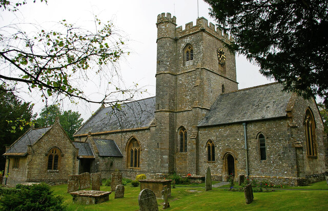
Church of St Stephen, Winsham

The Anglican Church of St Stephen in Winsham, Somerset, England, was built in the 13th century. It is a Grade II* listed building. == History == The church...

Wayford

Wayford is a village and civil parish on the River Axe, 3 miles (5 km) south-west of Crewkerne, in the South Somerset district of Somerset, England....

Church of St Michael, Wayford

The Anglican Church of St Michael in Wayford, Somerset, England was built in the 13th century. It is a Grade II* listed building. == History == The church...

Winsham

Winsham is a village and civil parish 4 miles (6 km) south-east of Chard and 6 miles (10 km) from Crewkerne, in the South Somerset district of Somerset...
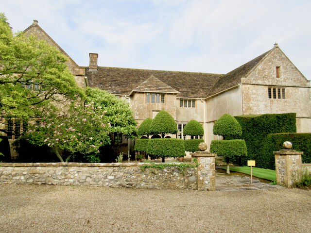
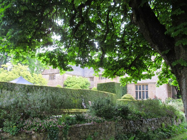
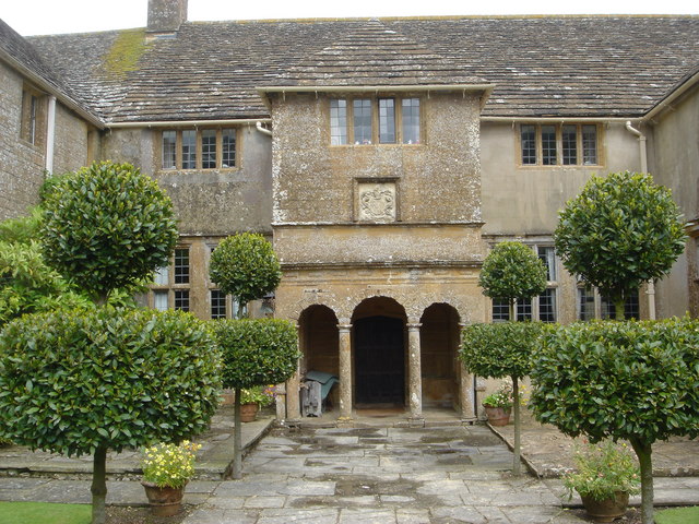
Wayford Manor House

Wayford Manor House is a country house with a garden in Britain, situated in Wayford, Somerset, England. It has been designated a Grade I listed building...

Clapton Mill

Clapton Mill is a former watermill located in the hamlet of Clapton, West Crewkerne, Somerset, England. The existing mill dates back to the 18th century...

Blackdown Hill, Dorset

Blackdown Hill is a prominent elevation, 215 metres (705 ft) high, 5 miles (8.0 km) south west of the town of Crewkerne, in the county of Dorset in the...

Netherhay Methodist Chapel

Netherhay Methodist Chapel is a Methodist Chapel in Netherhay, near Drimpton, West Dorset, England. The chapel remains active as part of the South Petherton...

Nearby Amenities

Located within 500m of 50.852929,-2.8681207
Power: pole
Source: bing
Lat/Long: 50.8520555/-2.8621477
Power: pole
Source: bing
Lat/Long: 50.8520351/-2.8634486
Power: pole
Source: bing
Lat/Long: 50.8520063/-2.8649318
Power: pole
Source: bing
Lat/Long: 50.8519843/-2.8661442
Power: pole
Source: bing
Lat/Long: 50.851942/-2.8681532
Power: pole
Source: bing
Lat/Long: 50.8519166/-2.869741
Power: pole
Source: bing
Lat/Long: 50.8518929/-2.8714711
Power: pole
Source: bing
Lat/Long: 50.8518827/-2.8727558
Power: pole
Source: bing
Lat/Long: 50.8518624/-2.8744993
The data included in this document is from www.openstreetmap.org. The data is made available under ODbL.

Have you been to Ashcombe Copse?

Leave your review of Ashcombe Copse below (or comments, questions and feedback).