Blackhall Wood
Wood, Forest in Cumberland Carlisle
England
Blackhall Wood

Blackhall Wood is a picturesque forest located in the county of Cumberland, England. Covering an area of approximately 500 acres, it is known for its dense woodland, diverse flora and fauna, and tranquil atmosphere.
The forest is predominantly composed of various species of broadleaf trees, including oak, beech, and ash, which create a lush and vibrant canopy. The woodland floor is adorned with a rich carpet of bluebells, wild garlic, and ferns, adding to the beauty of the landscape.
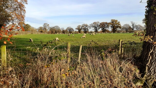
Blackhall Wood is home to a wide array of wildlife, providing a natural habitat for many species. Visitors may catch glimpses of roe deer, badgers, foxes, and a variety of bird species, including woodpeckers, owls, and songbirds. The forest is also a popular nesting ground for several migratory birds during the spring and summer months.
The wood offers a network of walking trails, allowing visitors to explore its natural beauty at their own pace. These trails offer a chance to immerse oneself in the peaceful surroundings, away from the hustle and bustle of daily life. Nature enthusiasts can also partake in birdwatching, photography, or simply enjoy a picnic amidst the tranquil setting.
Blackhall Wood is managed by the local forestry commission, ensuring the preservation of its natural ecosystem. Visitors are encouraged to respect the environment and adhere to any guidelines or regulations in place to protect the delicate balance of this enchanting woodland.
If you have any feedback on the listing, please let us know in the comments section below.
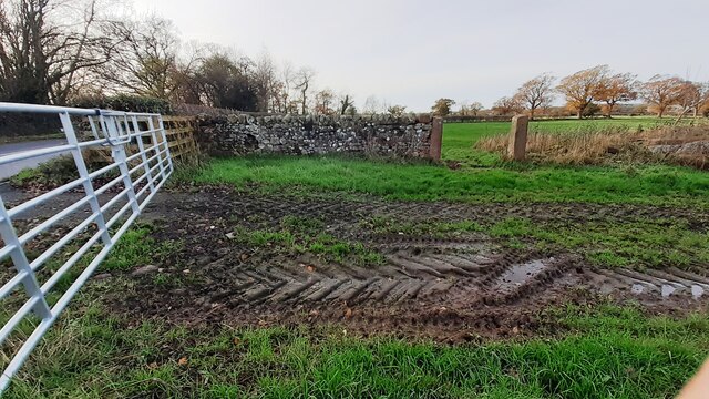
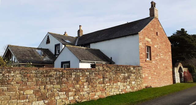
Blackhall Wood Images
Images are sourced within 2km of 54.851656/-2.9541123 or Grid Reference NY3851. Thanks to Geograph Open Source API. All images are credited.


Blackhall Wood is located at Grid Ref: NY3851 (Lat: 54.851656, Lng: -2.9541123)
Administrative County: Cumbria
District: Carlisle
Police Authority: Cumbria
What 3 Words
///dates.clap.yoga. Near Dalston, Cumbria
Nearby Locations
Related Wikis
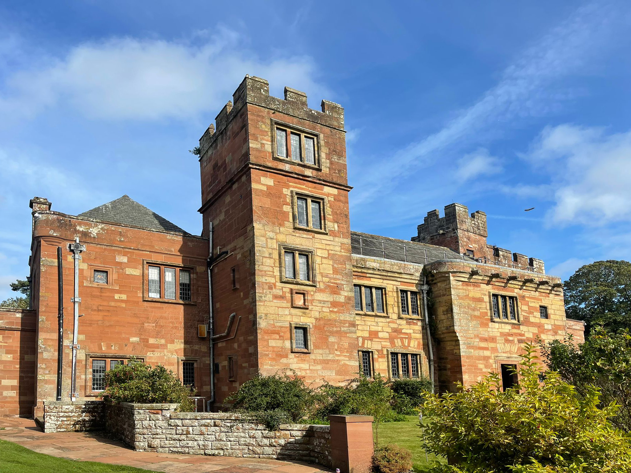
Dalston Hall
Dalston Hall is a fortified country house at Dalston in Cumbria, England. It is a Grade II* listed building. == History == Dalston Hall was built around...

Cummersdale railway station
Cummersdale was a railway station on the Maryport and Carlisle Railway (M&CR) serving Cummersdale in Cumbria. The station was opened by the M&CR in 1858...
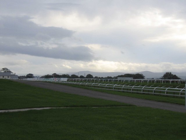
Carlisle Racecourse
Carlisle Racecourse is a thoroughbred horse racing venue located in the village of Blackwell just outside Carlisle in Cumbria, England. The course has...

Cummersdale
Cummersdale is a village in Cumbria, England, just outside the southern outskirts of Carlisle. Excavations have taken place in Cummersdale. Notable landmarks...
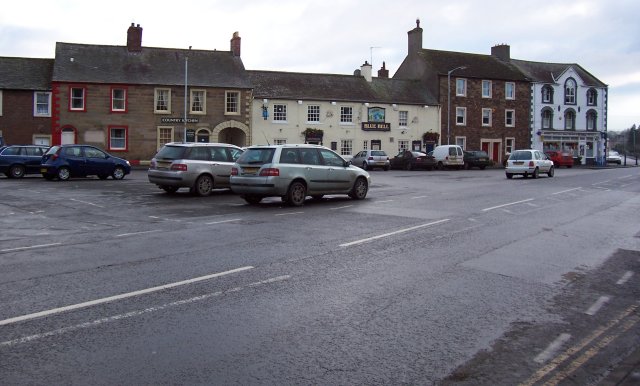
Dalston, Cumbria
Dalston is a large village and civil parish within Cumberland unitary authority area, Cumbria, and historically part of Cumberland. It is situated on the...
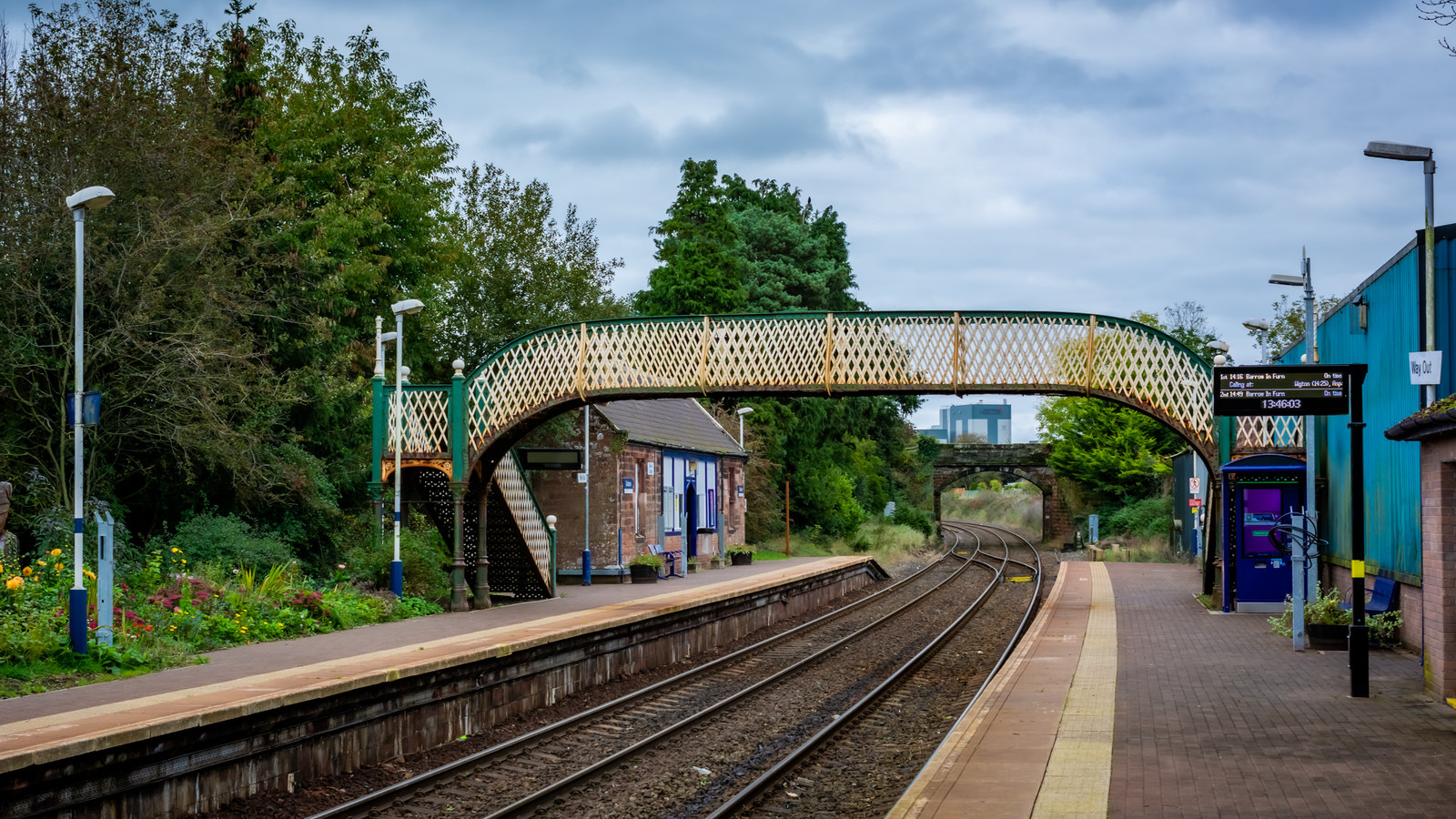
Dalston railway station (Cumbria)
Dalston railway station serves the village of Dalston near Carlisle in Cumbria, England. It is on the Cumbrian Coast Line, which runs between Carlisle...

Buckabank
Buckabank is a small village in the English county of Cumbria. It is situated on the B5299 road about 5 miles (8 km) south-south-west of Carlisle, and...
St John Henry Newman Catholic School
St John Henry Newman Catholic School is a coeducational Roman Catholic secondary school and sixth form. It is located in Carlisle in the English county...
Nearby Amenities
Located within 500m of 54.851656,-2.9541123Have you been to Blackhall Wood?
Leave your review of Blackhall Wood below (or comments, questions and feedback).