Cockyard

Settlement in Derbyshire High Peak

England

Cockyard

War memorial in Chapel-en-le-Frith Situated in the Market Place.
War memorial in Chapel-en-le-Frith Credit: Bill Boaden

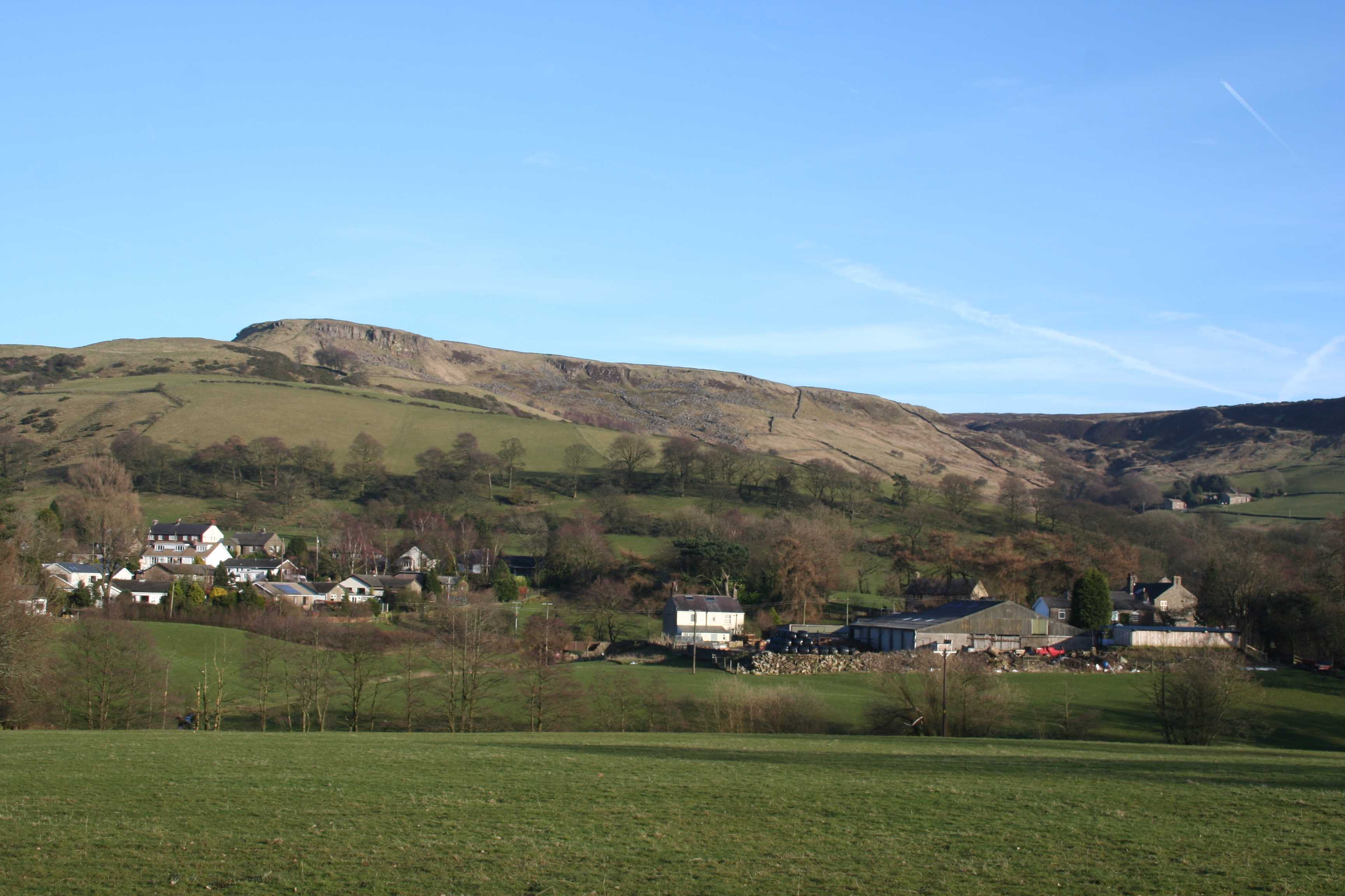
Cockyard is a small village located in the county of Derbyshire, England. Situated in the Amber Valley district, it lies approximately 10 miles northeast of the city of Derby. The village is surrounded by picturesque countryside and offers a tranquil and idyllic setting for its residents.

With a population of around 500 people, Cockyard retains a strong sense of community and a friendly atmosphere. The village is characterized by its traditional stone-built houses, giving it a charming and rustic appeal. The nearby landscape is dotted with rolling hills, green meadows, and scenic walking trails, making it a haven for nature lovers and outdoor enthusiasts.

Although Cockyard is primarily a residential village, it boasts a few amenities to cater to the needs of its residents. These include a local pub, a small convenience store, and a village hall that serves as a hub for community activities and events.

The village is well-connected to the surrounding areas, with good road links to Derby and other nearby towns. This allows residents to access a wider range of amenities and services, including schools, shopping centers, and healthcare facilities.

Cockyard offers a peaceful and serene lifestyle, far away from the hustle and bustle of urban living. With its beautiful countryside surroundings and strong community spirit, it provides a perfect retreat for those seeking a tranquil place to call home.

If you have any feedback on the listing, please let us know in the comments section below.
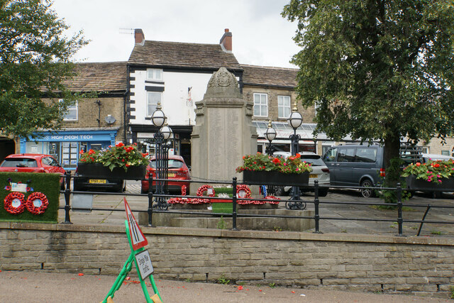
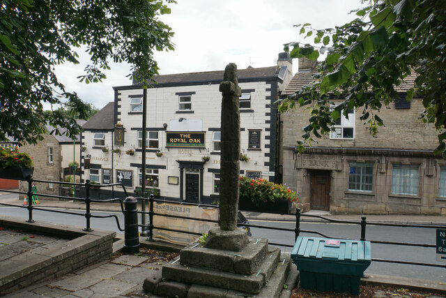
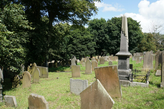
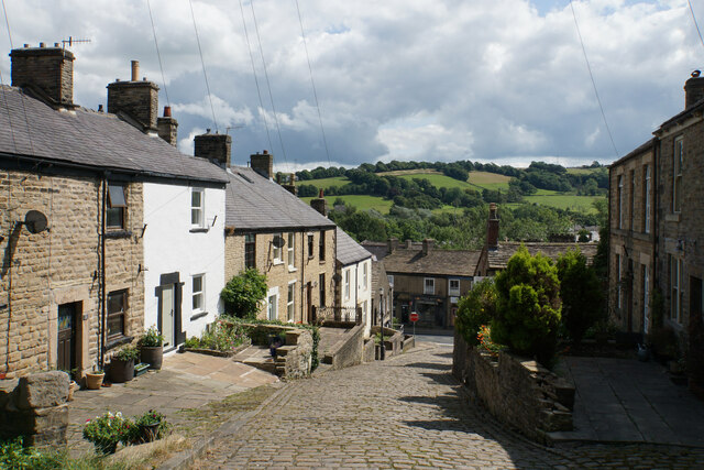
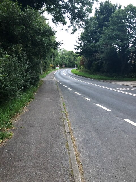
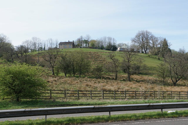
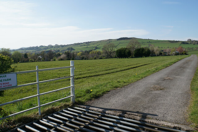
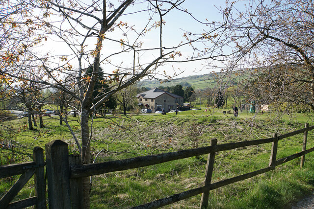
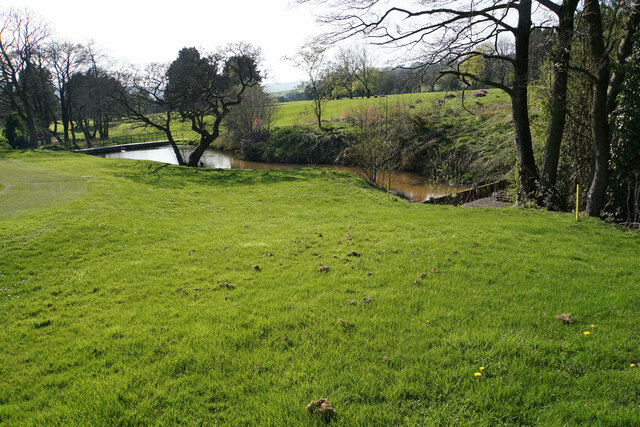
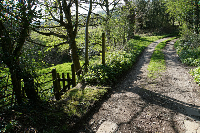
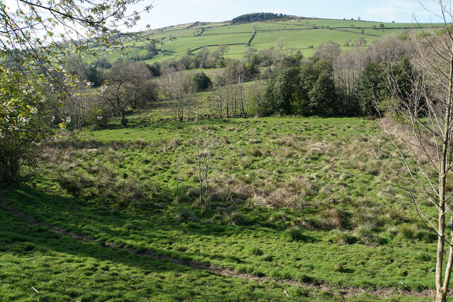
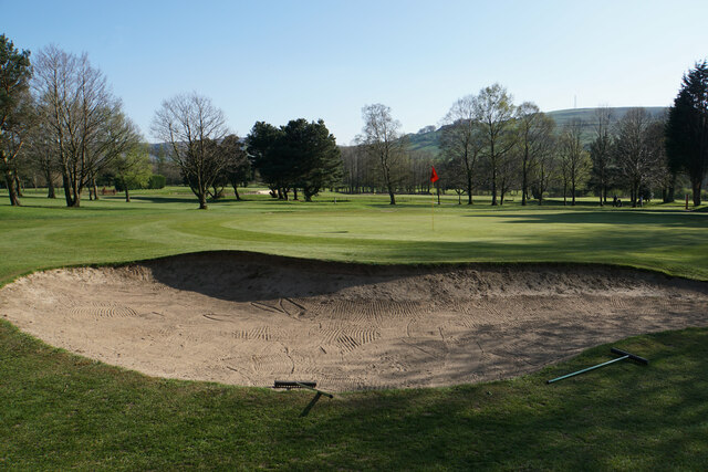
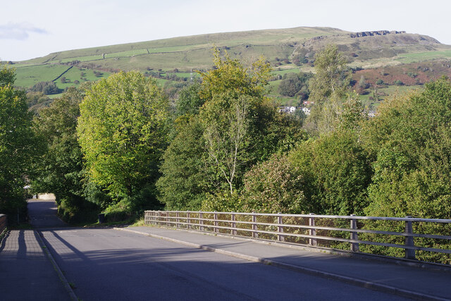
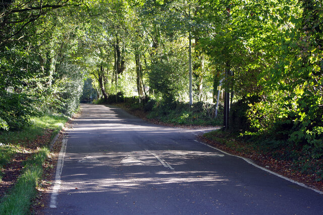
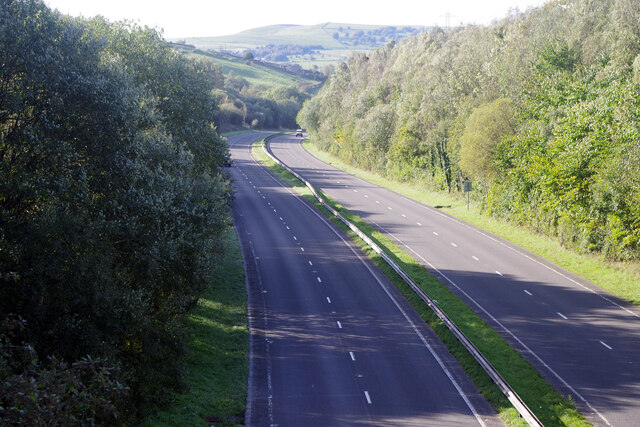
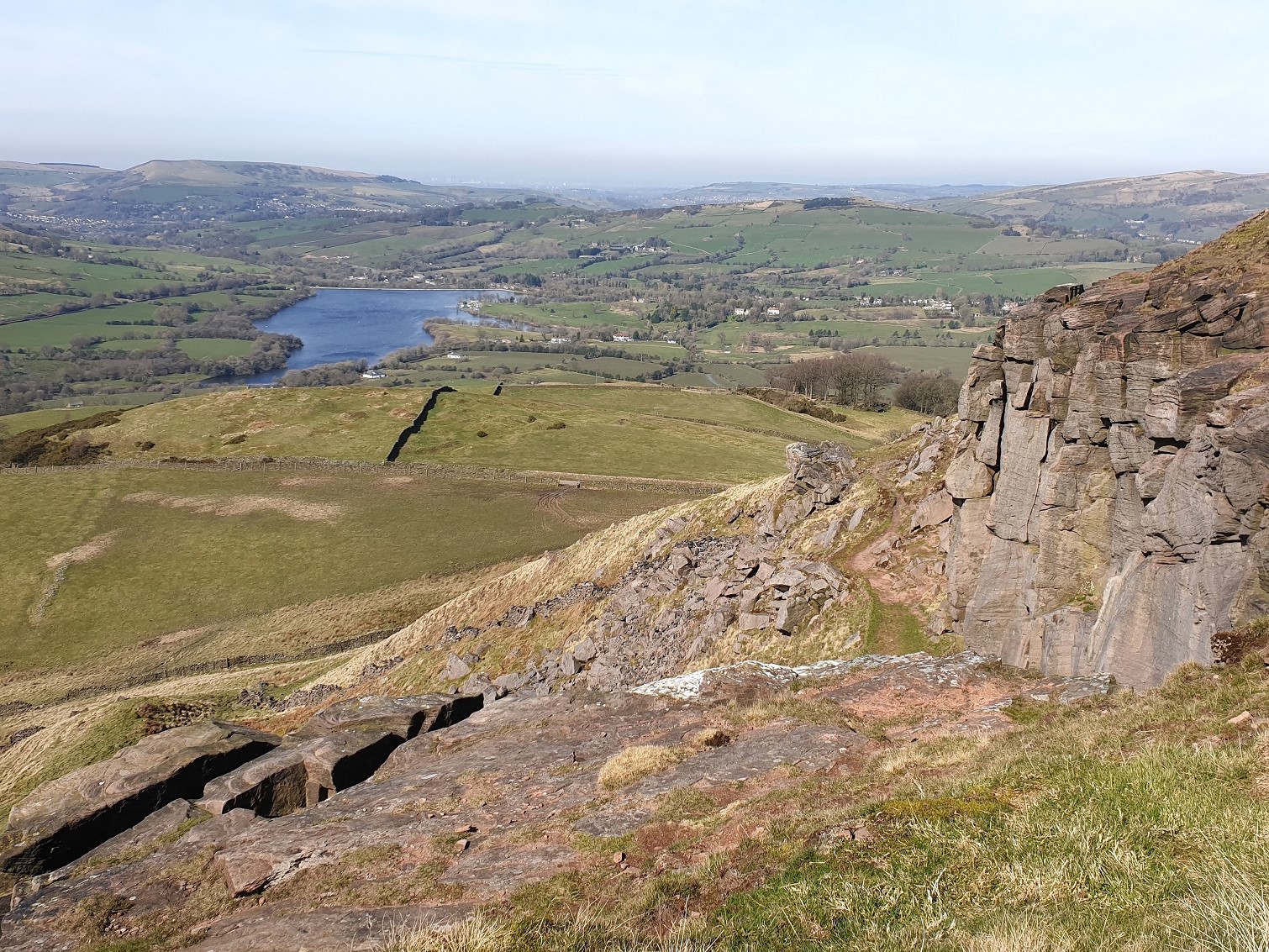
Cockyard Images

Images are sourced within 2km of 53.316538/-1.9393185 or Grid Reference SK0479. Thanks to Geograph Open Source API. All images are credited.

War memorial in Chapel-en-le-Frith Situated in the Market Place.
War memorial in Chapel-en-le-Frith
Situated in the Market Place.
Market Cross, Chapel-en-le-Frith Grade II listed and said to date from 1643. It is situated in Market Place overlooking Market Street which runs below.
Market Cross, Chapel-en-le-Frith
Grade II listed and said to date from 1643. It is situated in Market Place overlooking Market Street which runs below.
Churchyard of St Thomas Becket, Chapel-en-le-Frith Quite a large churchyard which extends down the hill to the left.
Churchyard of St Thomas Becket, Chapel-en-le-Frith
Quite a large churchyard which extends down the hill to the left.
Church Brow A largely unspoilt road in Chapel-en-le-Frith though there are a lot of telegraph wires.
Church Brow
A largely unspoilt road in Chapel-en-le-Frith though there are a lot of telegraph wires.
B5470 near Cockyard
B5470 near Cockyard
Grazing land near Chinley Chinley is seen ahead with Chinley Churn rising behind it.
Grazing land near Chinley
Chinley is seen ahead with Chinley Churn rising behind it.
Whitehough Head As viewed from the A6 which runs below.
Whitehough Head
As viewed from the A6 which runs below.
Farm track to Wilmar Farm and Roeside Farm A private track off the B5470 which is not a public footpath.
Farm track to Wilmar Farm and Roeside Farm
A private track off the B5470 which is not a public footpath.
Chapel-en-le-Frith Golf Club The clubhouse viewed from a passing track and footpath.
Chapel-en-le-Frith Golf Club
The clubhouse viewed from a passing track and footpath.
Small reservoirs in Chapel-en-le-Frith Golf Club A small brook has been dammed as it passes through the golf course.
Small reservoirs in Chapel-en-le-Frith Golf Club
A small brook has been dammed as it passes through the golf course.
Footpath leaving a farm track The footpath to Tunstead Milton branches off left from the track which goes to Bradshaw Hall Farm.
Footpath leaving a farm track
The footpath to Tunstead Milton branches off left from the track which goes to Bradshaw Hall Farm.
Soggy valley bottom near Tunstead Milton The valley contains a small unnamed brook. Eccles Pike rises on the other side.
Soggy valley bottom near Tunstead Milton
The valley contains a small unnamed brook. Eccles Pike rises on the other side.
Bunker on Chapel-en-le-Frith Golf Course A footpath follows the northern edge of the golf course, from where this image was taken.
Bunker on Chapel-en-le-Frith Golf Course
A footpath follows the northern edge of the golf course, from where this image was taken.
Bridge over the A6 at Whitehough In 1987 the route of the A6 was changed so as to follow a new by-pass around Whaley Bridge and Chapel-en-le-Frith necessitating this bridge just south of Whitehough. There is a splendid view from here across the Black Brook valley to the hills above Chinley.
Bridge over the A6 at Whitehough
In 1987 the route of the A6 was changed so as to follow a new by-pass around Whaley Bridge and Chapel-en-le-Frith necessitating this bridge just south of Whitehough. There is a splendid view from here across the Black Brook valley to the hills above Chinley.
Whitehough Head Lane With a canopy of trees, Whitehough Head Lane leads up out of the valley of the Black Brook. Eccles Terrace leads off to the right.
Whitehough Head Lane
With a canopy of trees, Whitehough Head Lane leads up out of the valley of the Black Brook. Eccles Terrace leads off to the right.
A6 at Whitehough The almost deserted A6 dual carriageway winds through typical Peak District scenery. This stretch was built in 1987 by-passing Whaley Bridge and Chapel-en-le-Frith.
A6 at Whitehough
The almost deserted A6 dual carriageway winds through typical Peak District scenery. This stretch was built in 1987 by-passing Whaley Bridge and Chapel-en-le-Frith.
Combs Reservoir
Combs Reservoir
Footbridge spanning Meveril Brook
Show me another place!

Cockyard is located at Grid Ref: SK0479 (Lat: 53.316538, Lng: -1.9393185)

Administrative County: Derbyshire

District: High Peak

Police Authority: Derbyshire

What 3 Words

///chaos.windows.sprain. Near Chapel en le Frith, Derbyshire

Nearby Locations

Cockyard Owlgreave Farm

Related Wikis

Combs Reservoir

Combs Reservoir is a canal-feeder reservoir in the Peak District National Park, close to Combs village in Derbyshire. The town of Chapel-en-le-Frith lies...

Tunstead Milton

Tunstead Milton is a village in Derbyshire, England. It is situated on the B5470 road west of, and in the parish of Chapel-en-le-Frith, near the northern...

Chapel-en-le-Frith High School

Chapel-en-le-Frith High School is a mixed gender comprehensive school in Chapel-en-le-Frith in the county of Derbyshire, England. It serves pupils aged...

Combs, Derbyshire

Combs is a small village in Derbyshire, England, in the civil parish of Chapel-en-le-Frith and the Peak District National Park. The village is bounded...

Eccles Pike

Eccles Pike is an isolated hill three miles west of Chapel en le Frith in the Derbyshire Peak District, England. It consists of gritstone, pink in colour...

Chapel-en-le-Frith railway station

Chapel-en-le-Frith railway station (formerly Chapel-en-le-Frith South) serves the Peak District town of Chapel-en-le-Frith, Derbyshire, England. It is...

Chapel-en-le-Frith Central railway station

Chapel-en-le-Frith Central railway station was an intermediate stop on the Derby–Manchester line of the Midland Railway. It served the Derbyshire town...

Chapel-en-le-Frith

Chapel-en-le-Frith () is a town and civil parish in the Borough of High Peak in Derbyshire, England. It has been dubbed the "Capital of the Peak", in...

Nearby Amenities

Located within 500m of 53.316538,-1.9393185
Barrier: stile
Material: wood
Source: survey;gps
Stile: stepover
Lat/Long: 53.3138475/-1.9337931
Barrier: stile
Material: wood
Source: survey;gps
Stile: stepover
Lat/Long: 53.3155186/-1.9323997
Barrier: stile
Material: wood
Source: survey;gps
Stile: stepover
Lat/Long: 53.3162235/-1.9363378
Barrier: stile
Material: stone
Source: survey;gps
Stile: squeezer
Lat/Long: 53.3168765/-1.9375804
Generator Method: photovoltaic
Generator Output Electricity: yes
Generator Source: solar
Generator Type: solar_photovoltaic_panel
Location: roof
Power: generator
Lat/Long: 53.3188314/-1.9338853
Generator Method: photovoltaic
Generator Output Electricity: yes
Generator Source: solar
Generator Type: solar_photovoltaic_panel
Location: roof
Power: generator
Lat/Long: 53.3183476/-1.9352157
Bus Stop
Turnstead Milton, Manchester Road / opposite Hanging Gate
Bus: yes
Naptan AtcoCode: 1000DTMT3520
Naptan NaptanCode: dbsdgmaw
Network: Derbyshire County Council
Operator: Derbyshire County Council
Public Transport: platform
Lat/Long: 53.3168782/-1.9404304
Bus Stop
Chapel en le Frith, Manchester Road / opposite Whitestones
Bus: yes
Network: Derbyshire County Council
Operator: Derbyshire County Council
Public Transport: platform
Lat/Long: 53.3186625/-1.9337742
Bus Stop
Chapel en le Frith, Manchester Road / adjacent Whitestones
Bus: yes
Network: Derbyshire County Council
Operator: Derbyshire County Council
Public Transport: platform
Lat/Long: 53.3188043/-1.9331192
Bus Stop
Turnstead Milton, Manchester Road / adjacent Hanging Gate
Bus: yes
Naptan AtcoCode: 1000DTMT3519
Naptan NaptanCode: dbsdgmat
Network: Derbyshire County Council
Operator: Derbyshire County Council
Public Transport: platform
Lat/Long: 53.3167766/-1.9404311
Give Way
Lat/Long: 53.316477/-1.9393606
The data included in this document is from www.openstreetmap.org. The data is made available under ODbL.

Have you been to Cockyard?

Leave your review of Cockyard below (or comments, questions and feedback).