Cockwood

Settlement in Somerset Somerset West and Taunton

England

Cockwood

Lower Cock Farm 25 acre farm located on the edge of Sedgemoor D.C. The property is not grade listed but thought to be originally built around 1880.
Lower Cock Farm Credit: Iain Laslett

Cockwood is a charming village located in the county of Somerset, England. Situated on the eastern shore of the Exe Estuary, it lies approximately 10 miles south of the city of Exeter. With a population of around 500 residents, Cockwood offers a serene and picturesque setting for those seeking a peaceful retreat.

The village is known for its stunning natural beauty, surrounded by rolling hills and lush green countryside. It is particularly popular among nature enthusiasts and outdoor lovers, who can enjoy scenic walks along the nearby coastal paths or engage in various water activities such as boating and fishing in the estuary.

Cockwood is home to a quaint harbor, where a small fleet of fishing boats can be seen bobbing in the water. The harbor is not only a picturesque spot but also a hub of activity during the summer months when visitors flock to enjoy the local seafood delicacies served in the village's seafood restaurants and pubs.

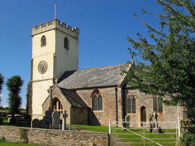
In addition to its natural attractions, Cockwood boasts a rich history. The village is home to several historic buildings, including the Grade II listed Cockwood House, a beautiful Georgian manor. The village also hosts an annual regatta, a tradition that dates back over a century and attracts both locals and tourists alike.

Overall, Cockwood is a hidden gem in Somerset, offering a perfect blend of natural beauty, history, and tranquility. Whether one seeks a peaceful getaway or a taste of the local maritime culture, Cockwood provides an idyllic setting to unwind and explore.

If you have any feedback on the listing, please let us know in the comments section below.
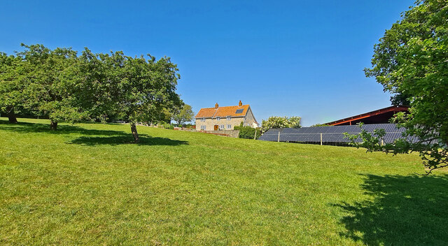
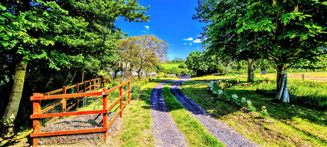
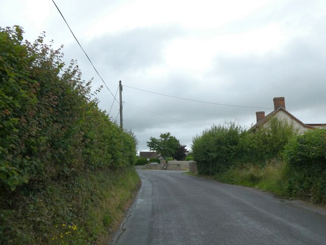
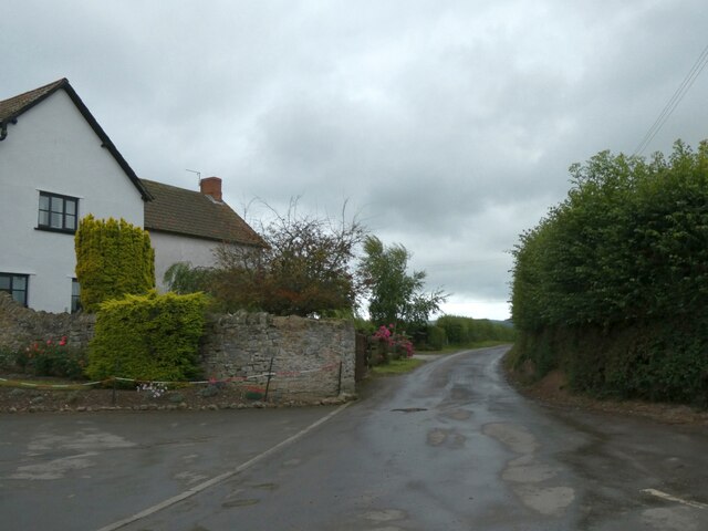
Cockwood Images

Images are sourced within 2km of 51.17861/-3.114039 or Grid Reference ST2242. Thanks to Geograph Open Source API. All images are credited.

Lower Cock Farm 25 acre farm located on the edge of Sedgemoor D.C. The property is not grade listed but thought to be originally built around 1880.
Lower Cock Farm
25 acre farm located on the edge of Sedgemoor D.C. The property is not grade listed but thought to be originally built around 1880.
Lower Cock Lane Easterly end of Lower Cock Lane.  A country track single lane leading to Lower Cock Farm.
Lower Cock Lane
Easterly end of Lower Cock Lane. A country track single lane leading to Lower Cock Farm.
Hillside Farm, Cockwood
Monkton Cottages
Monkton Cottages
The centre of Stogursey On the left, Stogursey Motors and village shop; on the right, the war memorial
The centre of Stogursey
On the left, Stogursey Motors and village shop; on the right, the war memorial
Acland Hotel, Stogursey Now holiday apartments
Acland Hotel, Stogursey
Now holiday apartments
St Andrews Street, Stogursey, and cross base The Central Cross is described <a href="https://www.geograph.org.uk/photo/6049532">ST2042 : Old Central Cross by High Street, Stogursey parish</a>
St Andrews Street, Stogursey, and cross base
Old Central Cross by High Street, Stogursey
Watching the power grow Sheep in Stockland Bristol have a grand view of the work to construct the new Hinckley Point nuclear power station.
Watching the power grow
Sheep in Stockland Bristol have a grand view of the work to construct the new Hinckley Point nuclear power station.
A spectator of Hinckley Point Hinckley Point will have a new nuclear power station in the future (Hinckley 'C'); meanwhile, the older blocks continue to provide electricity.
A spectator of Hinckley Point
Hinckley Point will have a new nuclear power station in the future (Hinckley 'C'); meanwhile, the older blocks continue to provide electricity.
Stockland Sports Club There were several attempts to provide education in the village in the past, often alternating schooling at Combwich. This building was built in 1880 with space for dozens of pupils, but the registers slowly declined over time, leading to the school's closure in 1941. After WWII, the site was taken over as the sports club in 1950.
Stockland Sports Club
There were several attempts to provide education in the village in the past, often alternating schooling at Combwich. This building was built in 1880 with space for dozens of pupils, but the registers slowly declined over time, leading to the school's closure in 1941. After WWII, the site was taken over as the sports club in 1950.
Ornate gate at the start of the footpath Walkers going from Stockland Bristol to Otterhampton will pass through these old but stylish iron gates. The path passes through land owned by Stockland Manor.
Ornate gate at the start of the footpath
Walkers going from Stockland Bristol to Otterhampton will pass through these old but stylish iron gates. The path passes through land owned by Stockland Manor.
Benchmark on St Mary Magdalene The church of Stockland Bristol has a nineteenth century benchmark on the south-west buttress. See <a href="https://www.geograph.org.uk/photo/7476000">ST2443 : Base of the tower, St Mary Magdalene</a> for a wider view and <span class="nowrap"><a title="https://www.bench-marks.org.uk/bm43250" rel="nofollow ugc noopener" href="https://www.bench-marks.org.uk/bm43250">Link</a><img style="margin-left:2px;" alt="External link" title="External link - shift click to open in new window" src="https://s1.geograph.org.uk/img/external.png" width="10" height="10"/></span> for the entry in the Benchmark Database.
Benchmark on St Mary Magdalene
The church of Stockland Bristol has a nineteenth century benchmark on the south-west buttress. See ST2443 : Base of the tower, St Mary Magdalene for a wider view and LinkExternal link for the entry in the Benchmark Database.
Base of the tower, St Mary Magdalene A benchmark can be found at the base of the tower, facing the camera. See <a href="https://www.geograph.org.uk/photo/7475999">ST2443 : Benchmark on St Mary Magdalene</a>.
Base of the tower, St Mary Magdalene
A benchmark can be found at the base of the tower, facing the camera. See ST2443 : Benchmark on St Mary Magdalene.
St Mary Magdalene from the north east The small graveyard of the little church has a number of stones, along with this oddly shaped one.
St Mary Magdalene from the north east
The small graveyard of the little church has a number of stones, along with this oddly shaped one.
A clock facing east The church of Church of St Mary Magdalene in Stockland Bristol is a relatively new one - dating from 1865. Replacing an older version, the present structure was designed by Arthur of Plymouth for the local landowning Daniel family. Intriguingly, the tower has a single clockface that faces east, right over the nave roof. Grade II listed.
A clock facing east
The church of Church of St Mary Magdalene in Stockland Bristol is a relatively new one - dating from 1865. Replacing an older version, the present structure was designed by Arthur of Plymouth for the local landowning Daniel family. Intriguingly, the tower has a single clockface that faces east, right over the nave roof. Grade II listed.
West door of St Mary Magdalene Built in 1865, the tower has a doorway with a couple of characters looking out.
West door of St Mary Magdalene
Built in 1865, the tower has a doorway with a couple of characters looking out.
Maintaining the lineage The Church of St Mary Magdalene in Stockland Bristol dates from the work of Arthur in 1865. However, the church replaces an older version, and the font seen today is from that lost church of the fifteenth century.
Maintaining the lineage
The Church of St Mary Magdalene in Stockland Bristol dates from the work of Arthur in 1865. However, the church replaces an older version, and the font seen today is from that lost church of the fifteenth century.
Show me another place!

Cockwood is located at Grid Ref: ST2242 (Lat: 51.17861, Lng: -3.114039)

Administrative County: Somerset

District: Somerset West and Taunton

Police Authority: Avon and Somerset

What 3 Words

///divorcing.decimals.dirt. Near Nether Stowey, Somerset

Nearby Locations

Cockwood

Related Wikis

Stogursey

Stogursey is a small village and civil parish in the Quantock Hills in Somerset, England. It is situated 3 miles (4.8 km) from Nether Stowey, and 8 miles...

Stogursey Priory

Stogursey Priory, also called Stoke Courcy Priory or The Priory of St Andrew de Stoke, was a Benedictine alien priory dedicated to St Andrew at Stogursey...

Stogursey Castle

Stogursey Castle is a medieval castle in Somerset, England. Most of the site is in ruins, but there is a thatched gatehouse used for holiday rental by...

Church of St Martin, Fiddington

The Anglican Church of St Martin in Fiddington within the English county of Somerset dates from the 11th century and has been designated by English Heritage...

Stockland Bristol

Stockland Bristol (formerly Stockland Gaunts) is a village and civil parish in Somerset, England, between Bridgwater and the Steart Peninsula. == History... ==

Fiddington

Fiddington is a village and civil parish 2.5 miles (4 km) north-east of Nether Stowey, and 6 miles (10 km) north-west of Bridgwater in Somerset, England...

Otterhampton

Otterhampton is a village and civil parish in Somerset, England, between Bridgwater and the Steart Peninsula. The civil parish includes the larger village...

All Saints Church, Otterhampton

All Saints Church in Otterhampton, Somerset, England, overlooks the River Parrett. The church dates from the 14th century. It is recorded in the National...

Nearby Amenities

Located within 500m of 51.17861,-3.114039
Colour: grey
Design: three-level
Height: 34.55
Line Attachment: suspension
Material: metal
Operator: National Grid
Operator Wikidata: Q1465461
Power: tower
Ref: ZZ013
Source Ref: bing
Start Date: 1965
Structure: lattice
Lat/Long: 51.1790207/-3.1078159
Colour: grey
Design: three-level
Height: 18.19
Line Attachment: suspension
Material: metal
Operator: National Grid
Operator Wikidata: Q1465461
Power: tower
Ref: ZZ012
Source Ref: bing
Start Date: 1965
Structure: lattice
Lat/Long: 51.1819349/-3.1092588
Post Box
Operator: Royal Mail
Operator Wikidata: Q638098
Post Box Type: lamp
Ref: TA5 133D
Royal Cypher: EIIR
Royal Cypher Wikidata: Q33102113
Lat/Long: 51.1776839/-3.1157929
Power: pole
Lat/Long: 51.1776649/-3.1193045
Power: pole
Lat/Long: 51.1775253/-3.12038
Turning Circle
Lat/Long: 51.1784208/-3.1145503
Turning Circle
Lat/Long: 51.1787221/-3.1178013
The data included in this document is from www.openstreetmap.org. The data is made available under ODbL.

Have you been to Cockwood?

Leave your review of Cockwood below (or comments, questions and feedback).