Bach Covert

Wood, Forest in Herefordshire

England

Bach Covert

Trig pillar above Byton Common. Situated not at the summit, but where there is  a view.
Trig pillar above Byton Common. Credit: Richard Webb

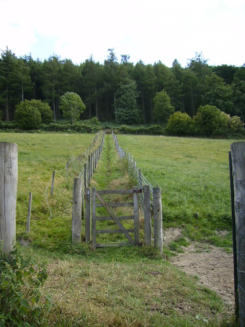
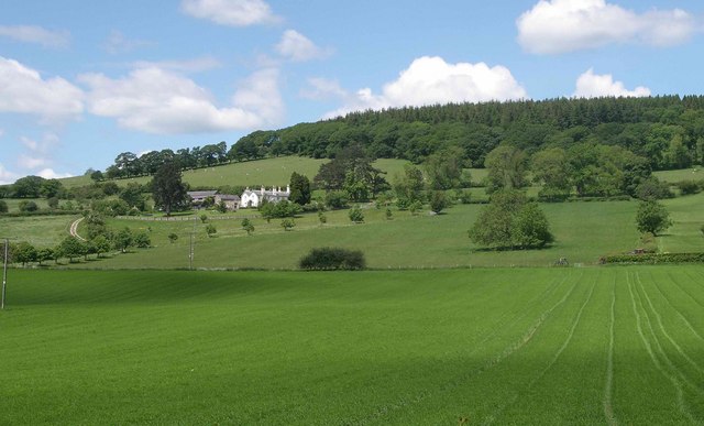
Bach Covert is a picturesque woodland area located in Herefordshire, England. Spanning over a vast expanse, this forest is known for its tranquil and serene atmosphere, making it a popular destination for nature lovers and outdoor enthusiasts.

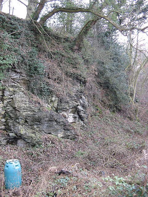
The woodland of Bach Covert is predominantly composed of a variety of trees, including oak, beech, and birch, which create a beautiful tapestry of colors throughout the seasons. The forest floor is covered with lush green undergrowth and wildflowers, providing a habitat for a diverse range of wildlife.

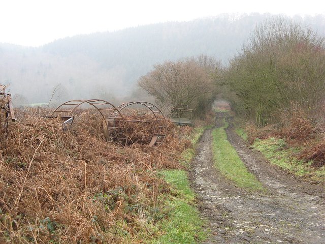
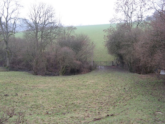
Visitors to Bach Covert can enjoy a wide array of recreational activities. The forest boasts numerous walking trails, allowing visitors to explore the woodlands and discover hidden gems along the way. These trails vary in difficulty, catering to both casual strollers and more adventurous hikers.

For those seeking a closer encounter with nature, Bach Covert offers camping facilities. Campers can immerse themselves in the peaceful ambiance of the forest, spending their nights under a canopy of stars and waking up to the gentle sounds of chirping birds.

Bach Covert is also home to various species of birds, making it a haven for birdwatching enthusiasts. From the elusive nightingale to the majestic red kite, visitors can witness a plethora of avian wonders in their natural habitat.

Overall, Bach Covert, Herefordshire is a sanctuary of natural beauty, offering an escape from the hustle and bustle of everyday life. Whether it's a leisurely stroll, an invigorating hike, or a peaceful camping experience, this woodland area provides an idyllic setting for anyone seeking solace in nature.

If you have any feedback on the listing, please let us know in the comments section below.

Bach Covert Images

Images are sourced within 2km of 52.283016/-2.9026632 or Grid Reference SO3865. Thanks to Geograph Open Source API. All images are credited.

Trig pillar above Byton Common. Situated not at the summit, but where there is  a view.
Trig pillar above Byton Common.
Situated not at the summit, but where there is a view.
Shobdon Hill A long straight forest road near the top of Shobdon Hill. A lot of the forest has been recently felled, the trees being just over 30 years old. (I can remember the last time the felled the woods in Shobdon)
Shobdon Hill
A long straight forest road near the top of Shobdon Hill. A lot of the forest has been recently felled, the trees being just over 30 years old. (I can remember the last time the felled the woods in Shobdon)
Fields, Limebrook Wood and the hill beyond looking north-east from the road between Kinsham and Lingen
Fields, Limebrook Wood and the hill beyond
looking north-east from the road between Kinsham and Lingen
The turning for Limebrook on the road between Kinsham and Lingen looking north-east towards Limebrook
The turning for Limebrook on the road between Kinsham and Lingen
looking north-east towards Limebrook
Field near Upper Lye Looking west towards Wales
Field near Upper Lye
Looking west towards Wales
Ford at Lower Yeld There is an old footbridge just to the right
Ford at Lower Yeld
There is an old footbridge just to the right
Byton Common Ponies on the Mortimer Trail
Byton Common
Ponies on the Mortimer Trail
Shobdon Hill Wood The Mortimer Trail runs along the forestry road which runs along the top of the long ridge which extends across two full squares. Large areas of conifers cleared but broadleaves left.
Shobdon Hill Wood
The Mortimer Trail runs along the forestry road which runs along the top of the long ridge which extends across two full squares. Large areas of conifers cleared but broadleaves left.
Yeld Wood
Yeld Wood
View from bench seat above Byton The bench is located on the Mortimer Trail, the view is quite obscured by trees, as many views are in the Marches.
View from bench seat above Byton
The bench is located on the Mortimer Trail, the view is quite obscured by trees, as many views are in the Marches.
The Mortimer Trail coming down from Shobdon Hill Wood The Mortimer Trail is a 30 mile trail from Kington to Ludlow.
The Mortimer Trail coming down from Shobdon Hill Wood
The Mortimer Trail is a 30 mile trail from Kington to Ludlow.
Green lane, Deepmoor Crossing the Knoll to Upper Lye. A road that never got tarred and is only used by farm traffic.
Green lane, Deepmoor
Crossing the Knoll to Upper Lye. A road that never got tarred and is only used by farm traffic.
Mistletoe Oak Green lane with feeding frames lined up. Some were in use near by.
Mistletoe Oak
Green lane with feeding frames lined up. Some were in use near by.
Smokey Quarry Roadside quarry, like many in this area. The Silurian limestones were quarried for lime and building material, although many of the limestones here are soft, almost chalk like, leading to downland like scenery. The quarry is actually inhabited, and we were briefly taken for "Officials".
Smokey Quarry
Roadside quarry, like many in this area. The Silurian limestones were quarried for lime and building material, although many of the limestones here are soft, almost chalk like, leading to downland like scenery. The quarry is actually inhabited, and we were briefly taken for "Officials".
Brook near Lower Lye. Farm bridge linking fields. The area is a mix of woods and grassland on limestone hills.
Brook near Lower Lye.
Farm bridge linking fields. The area is a mix of woods and grassland on limestone hills.
Belgate Farm and Shobdon Hill Wood Mixed farm on slopes of Shobdon Hill.
Belgate Farm and Shobdon Hill Wood
Mixed farm on slopes of Shobdon Hill.
Gathering pens, Deerfold A typical dry valley in the soft chalk like Silurian Limestone. Beyond the pens, a farmer is inspecting his flock.
Gathering pens, Deerfold
A typical dry valley in the soft chalk like Silurian Limestone. Beyond the pens, a farmer is inspecting his flock.
Access path to Byton church
Show me another place!

Bach Covert is located at Grid Ref: SO3865 (Lat: 52.283016, Lng: -2.9026632)

Unitary Authority: County of Herefordshire

Police Authority: West Mercia

What 3 Words

///summer.presumes.growl. Near Kinsham, Herefordshire

Related Wikis

Kinsham Grange

Kinsham Grange may have been a priory near the River Lugg in Herefordshire, England at grid reference SO380652. It now seems likely that an error by John...

Limebrook Priory

Limebrook Priory was a priory in Lingen, Herefordshire, England at grid reference SO37386604. == History == === Origins === Situated in Lingen, Herefordshire...

Byton, Herefordshire

Byton is a village and civil parish in Herefordshire, England. Byton is situated on the River Lugg, near the border with Wales. According to the 2001...

Lingen, Herefordshire

Lingen is a village and civil parish, situated in the wooded hills of Herefordshire, England in the Welsh Marches, near to the border with Wales and close...

Have you been to Bach Covert?

Leave your review of Bach Covert below (or comments, questions and feedback).