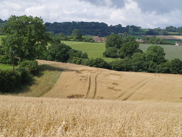
Weston Ground Plantation
Wood, Forest in Somerset South Somerset
England
Weston Ground Plantation
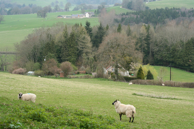
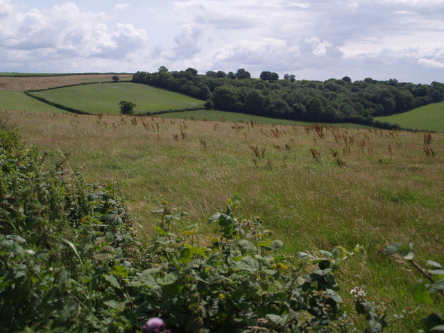
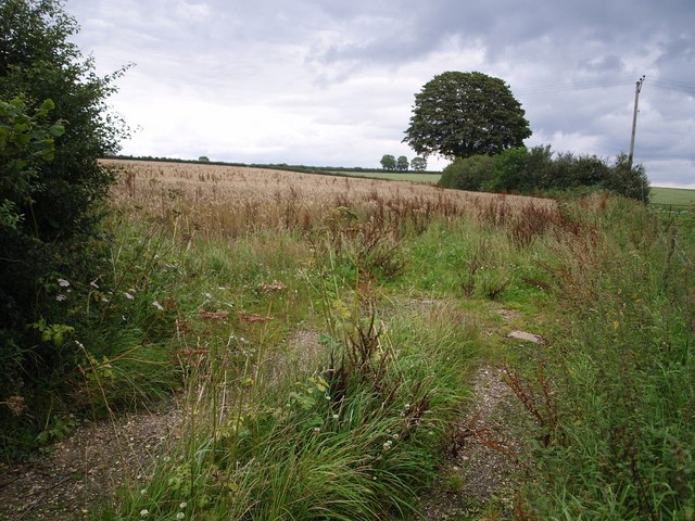
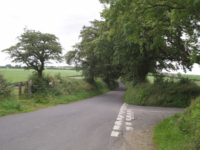
Weston Ground Plantation is a picturesque and historic estate located in Somerset, England. Situated in a charming woodland area known for its natural beauty, the plantation covers a vast expanse of land characterized by dense forests and sprawling woodlands.
The plantation has a rich history dating back several centuries. It was originally established as a hunting ground and later transformed into a timber plantation, making it a significant contributor to the local economy. The diverse range of tree species found within the estate includes oak, beech, ash, and pine, among others.
The Weston Ground Plantation boasts an extensive network of well-maintained trails and paths, allowing visitors to explore the enchanting woodlands at their own pace. The serene atmosphere and peaceful surroundings make it an ideal destination for nature lovers, hikers, and photographers alike.
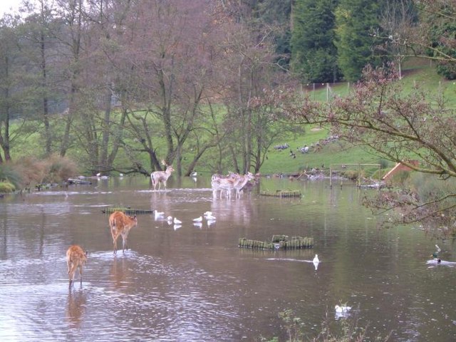
Wildlife enthusiasts will be thrilled to discover an abundance of fauna within the plantation. Deer, foxes, badgers, and a variety of bird species call this woodland their home, providing ample opportunities for wildlife spotting and birdwatching.
In addition to its natural beauty, Weston Ground Plantation also offers various recreational activities for visitors. These include picnic areas, camping spots, and designated spaces for outdoor sports such as archery and horse riding.
Overall, Weston Ground Plantation in Somerset is a remarkable destination that combines breathtaking natural scenery, rich history, and recreational opportunities. It is a must-visit location for those seeking a peaceful retreat amidst the beauty of the English countryside.
If you have any feedback on the listing, please let us know in the comments section below.
Weston Ground Plantation Images
Images are sourced within 2km of 50.873853/-2.87563 or Grid Reference ST3808. Thanks to Geograph Open Source API. All images are credited.


Weston Ground Plantation is located at Grid Ref: ST3808 (Lat: 50.873853, Lng: -2.87563)
Administrative County: Somerset
District: South Somerset
Police Authority: Avon and Somerset
What 3 Words
///irrigate.sunshine.validated. Near Crewkerne, Somerset
Nearby Locations
Related Wikis

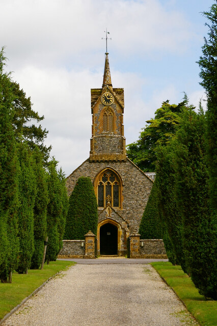
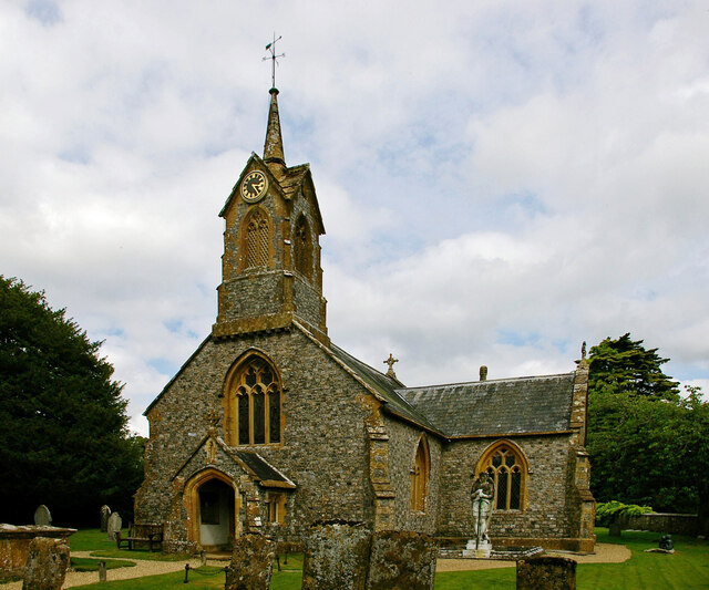
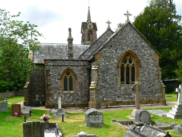
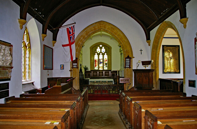
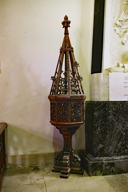
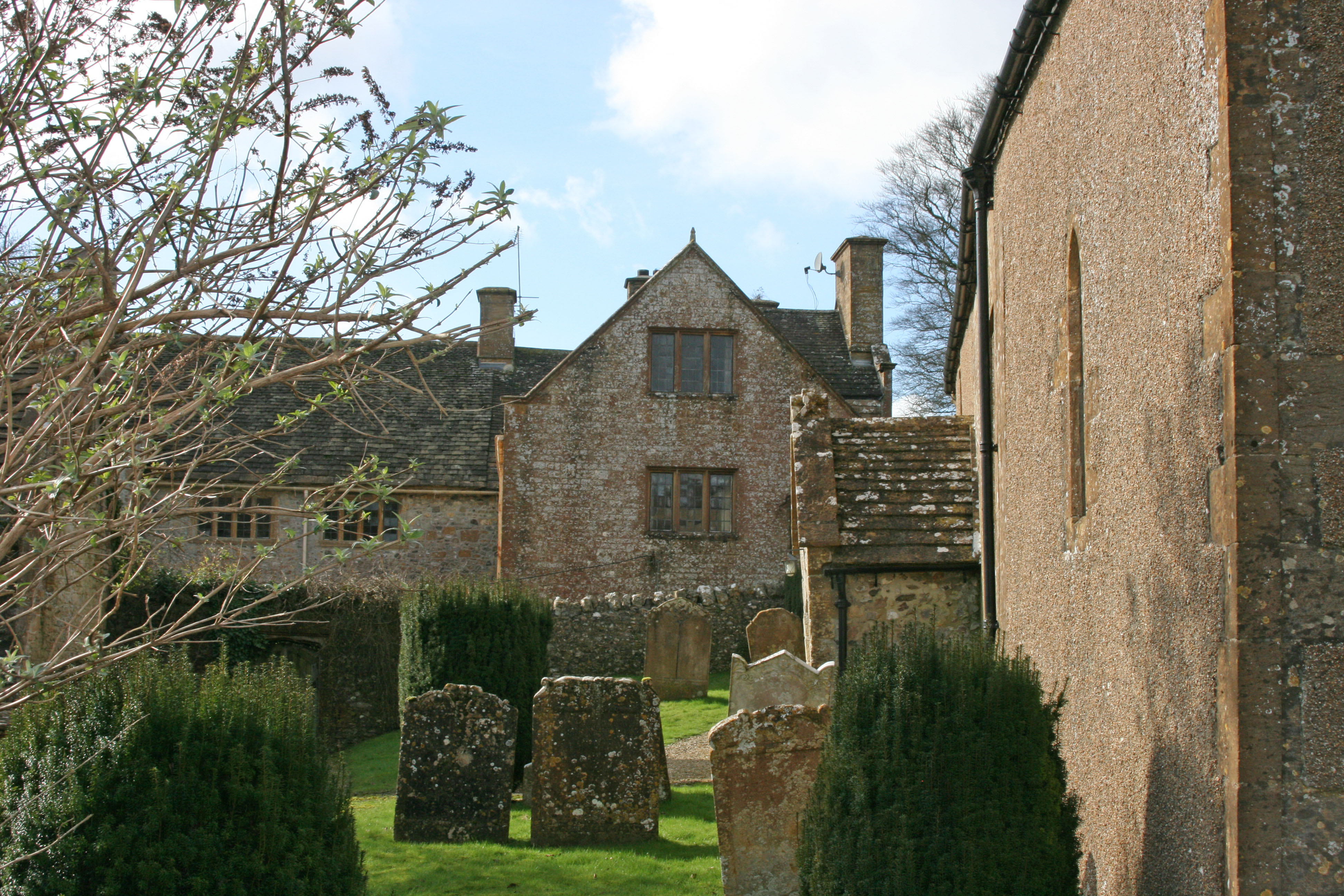
Church of St Thomas, Cricket St Thomas
The Church of St Thomas in Cricket St Thomas, Somerset, England was built in the 14th century and rebuilt in 1868. It is a Grade II* listed building....
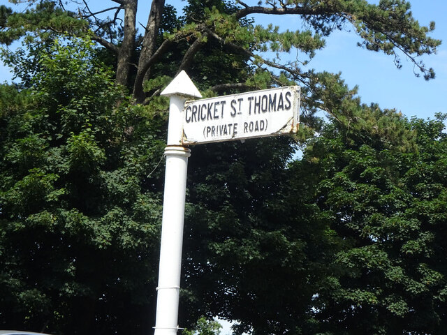
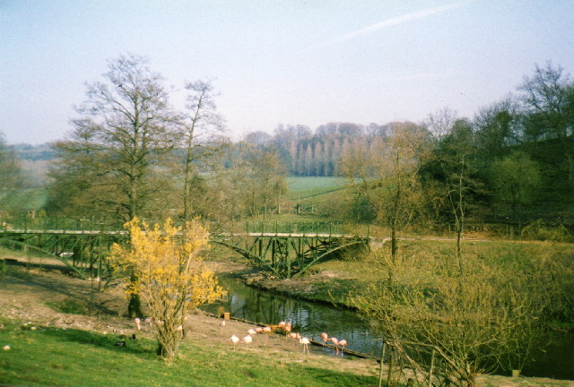
Cricket St Thomas
Cricket St Thomas is a parish in Somerset, England, situated in a valley between Chard and Crewkerne within the South Somerset administrative district...

Cudworth, Somerset
Cudworth (English: ) is a village and parish in Somerset, England, situated 5 miles (8.0 km) north east of Chard in the South Somerset district. The village...

Winsham
Winsham is a village and civil parish 4 miles (6 km) south-east of Chard and 6 miles (10 km) from Crewkerne, in the South Somerset district of Somerset...

Chillington, Somerset
Chillington is a village and parish in Somerset, England, situated 3 miles (5 km) west of Crewkerne and 5 miles (8 km) east of Chard in the South Somerset...

Church of St Michael, Cudworth
The Anglican Church of St Michael in Cudworth, Somerset, England was built in the 12th century. It is a Grade II* listed building. == History == The church...

Church of St Stephen, Winsham
The Anglican Church of St Stephen in Winsham, Somerset, England, was built in the 13th century. It is a Grade II* listed building. == History == The church...
Church of St Michael, Wayford
The Anglican Church of St Michael in Wayford, Somerset, England was built in the 13th century. It is a Grade II* listed building. == History == The church...
Nearby Amenities
Located within 500m of 50.873853,-2.87563Have you been to Weston Ground Plantation?
Leave your review of Weston Ground Plantation below (or comments, questions and feedback).