Skinhouse Wood

Wood, Forest in Herefordshire

England

Skinhouse Wood

Cottage in Mansell Gamage
Cottage in Mansell Gamage Credit: Philip Halling

The requested URL returned error: 429 Too Many Requests

If you have any feedback on the listing, please let us know in the comments section below.

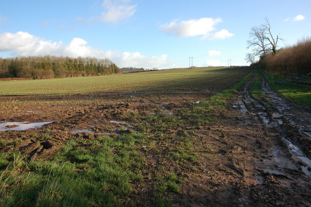
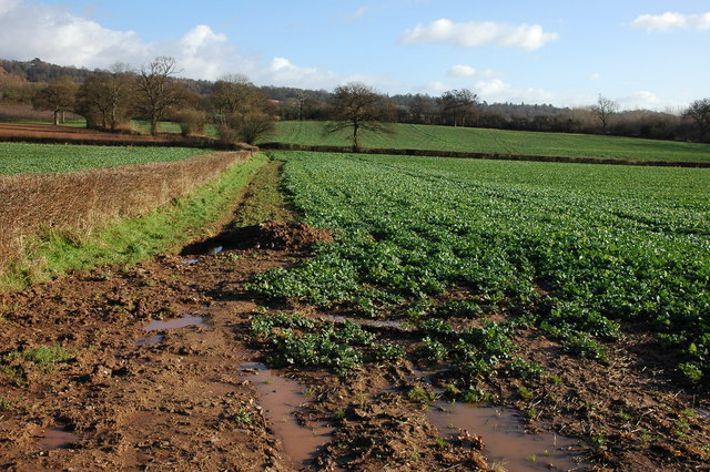
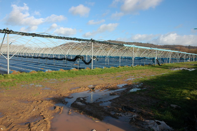
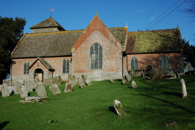
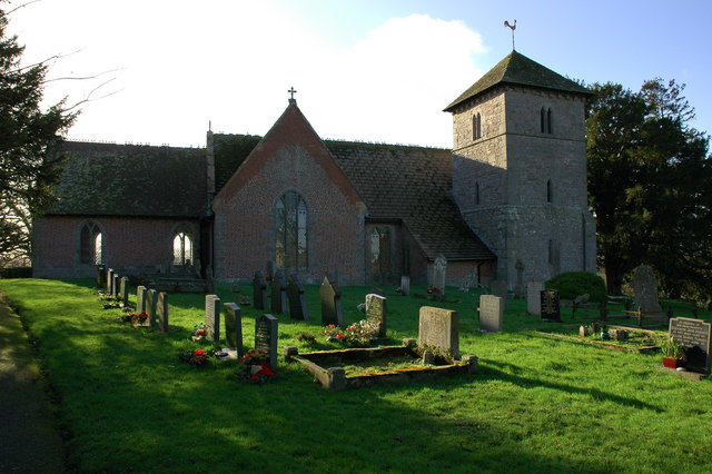
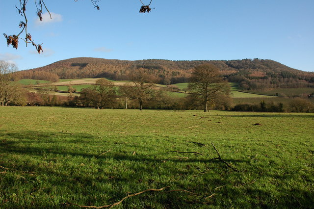
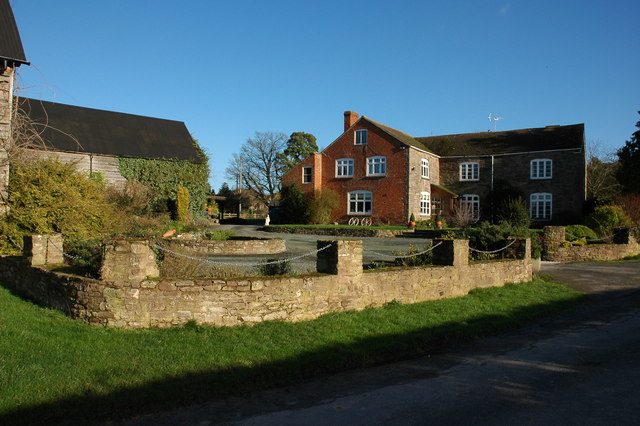
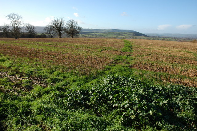
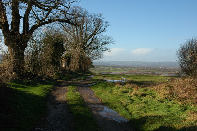
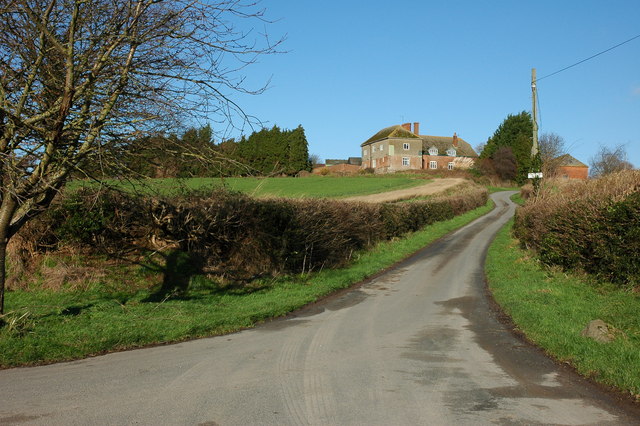
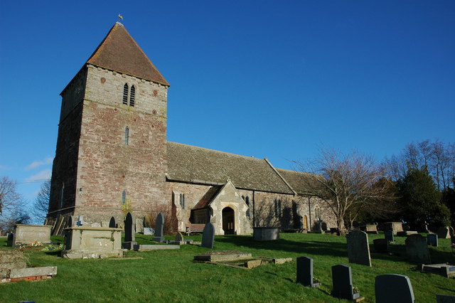
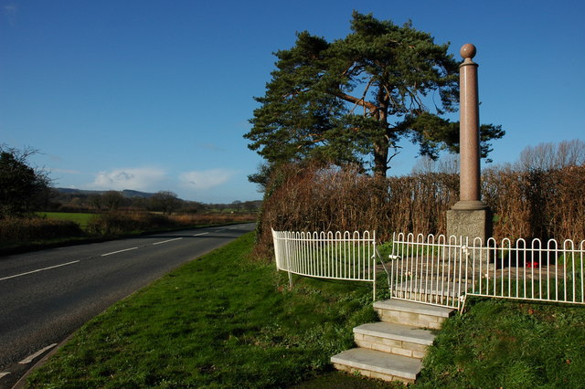
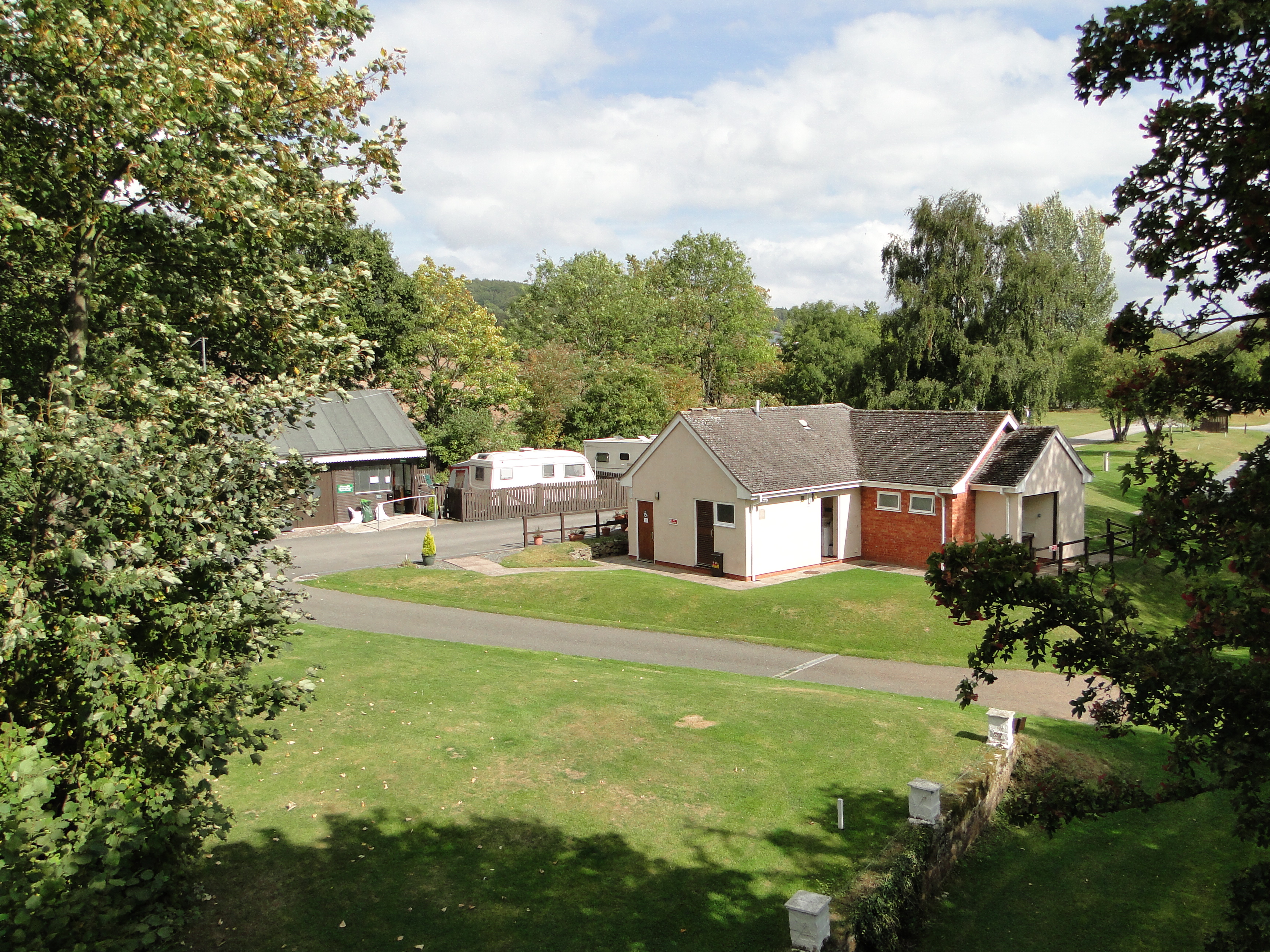
Skinhouse Wood Images

Images are sourced within 2km of 52.108924/-2.8999308 or Grid Reference SO3846. Thanks to Geograph Open Source API. All images are credited.

Cottage in Mansell Gamage
Field beside Bowmore Wood The hedge at the far end of this field follows the course of Offa's Dyke.
Field beside Bowmore Wood
The hedge at the far end of this field follows the course of Offa's Dyke.
Farmland to the south of Upperton Farm
Crop tunnels near Skinhouse Wood
Yazor Wood viewed from the A480 Offa's Dyke follows the hedge on the right.
Yazor Wood viewed from the A480
Offa's Dyke follows the hedge on the right.
Norton Canon church Norton Canon church is dedicated to St Nicholas. According to Pevsner the tower dates from the 13th century, and the nave, chancel and transepts were built in brick in the early 18th century, with the medieval church windows incorporated into the walls.  The church was featured on BBC Radio 4's programme, 'Open Country' on 21 April 2012 <span class="nowrap"><a title="http://www.bbc.co.uk/programmes/b01g63tv" rel="nofollow ugc noopener" href="http://www.bbc.co.uk/programmes/b01g63tv">Link</a><img style="margin-left:2px;" alt="External link" title="External link - shift click to open in new window" src="https://s1.geograph.org.uk/img/external.png" width="10" height="10"/></span> In particular the programme features the restoration of the church bells
Norton Canon church
Norton Canon church is dedicated to St Nicholas. According to Pevsner the tower dates from the 13th century, and the nave, chancel and transepts were built in brick in the early 18th century, with the medieval church windows incorporated into the walls. The church was featured on BBC Radio 4's programme, 'Open Country' on 21 April 2012 LinkExternal link In particular the programme features the restoration of the church bells
View to the east from Norton Canon The view to the east from Norton Canon is dominated by Burton Hill and Yazor Wood.
View to the east from Norton Canon
The view to the east from Norton Canon is dominated by Burton Hill and Yazor Wood.
The Cross, Norton Canon
Footpath from Upper Norton View to the south-west from a footpath near Upper Norton
Footpath from Upper Norton
View to the south-west from a footpath near Upper Norton
Farm track near Upper Norton In the valley beyond, the unusually named stream, Letton Lake, a tributary of the River Wye, has flooded the low lying farmland
Farm track near Upper Norton
In the valley beyond, the unusually named stream, Letton Lake, a tributary of the River Wye, has flooded the low lying farmland
Kilkington Farm, Staunton on Wye
Staunton on Wye church The church of St Mary at Staunton on Wye is on high ground with a good view over the Wye valley to the south.
Staunton on Wye church
The church of St Mary at Staunton on Wye is on high ground with a good view over the Wye valley to the south.
War Memorial, Staunton on Wye
The Portway Inn Hotel, Staunton on Wye <span class="nowrap"><a title="http://www.theportwayinnhotel.co.uk/" rel="nofollow ugc noopener" href="http://www.theportwayinnhotel.co.uk/">Link</a><img style="margin-left:2px;" alt="External link" title="External link - shift click to open in new window" src="https://s1.geograph.org.uk/img/external.png" width="10" height="10"/></span>
The Portway Inn Hotel, Staunton on Wye
Farmland to the south of Hinton Farm
Bridleway at Mansell Gamage View to the west.
Bridleway at Mansell Gamage
View to the west.
Moorhampton Farm View from the road junction to the south-east
Moorhampton Farm
View from the road junction to the south-east
Show me another place!

Skinhouse Wood is located at Grid Ref: SO3846 (Lat: 52.108924, Lng: -2.8999308)

Unitary Authority: County of Herefordshire

Police Authority: West Mercia

What 3 Words

///tokens.cabbages.merely. Near Yazor, Herefordshire

Nearby Locations

Skinhouse Wood

Related Wikis

Moorhampton railway station

Moorhampton railway station was a station in the hamlet of Moorhampton, to the east of Norton Canon, Herefordshire, England. The station was opened for...

Staunton on Wye

Staunton on Wye is a relatively unpopulated civil parish in West Herefordshire, which is perhaps one of the most uninhabited locations of England. The...

Mansell Gamage

Mansell Gamage is a village and civil parish in Herefordshire, England. It is on the B4230 road and is near the A438 road. == References ==

Yazor

Yazor is a small village and civil parish in Herefordshire, England. The village is on the A480 road, approximately 8 miles (13 km) north-west of the city...

Nearby Amenities

Located within 500m of 52.108924,-2.8999308
Power: pole
Lat/Long: 52.1091953/-2.8939587
Power: pole
Lat/Long: 52.1096137/-2.8961688
Power: pole
Lat/Long: 52.1099597/-2.8979954
Power: pole
Lat/Long: 52.1102611/-2.8995055
Power: pole
Lat/Long: 52.11163/-2.9032257
Material: wood
Power: pole
Lat/Long: 52.1109089/-2.9012825
The data included in this document is from www.openstreetmap.org. The data is made available under ODbL.

Have you been to Skinhouse Wood?

Leave your review of Skinhouse Wood below (or comments, questions and feedback).