Burnt Wood
Wood, Forest in Herefordshire
England
Burnt Wood
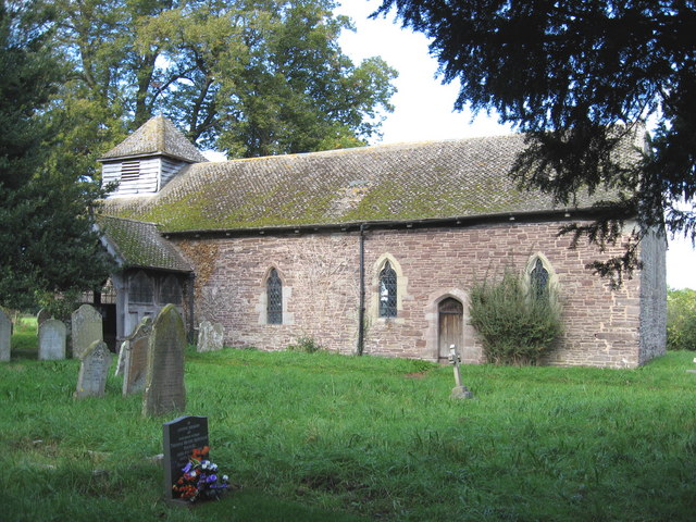
Burnt Wood is a small, picturesque village located in the county of Herefordshire, England. Situated within the heart of a dense forest, it is renowned for its natural beauty and tranquil surroundings. The village takes its name from the charred remains of trees that were once present in the area, giving it a distinctive character.
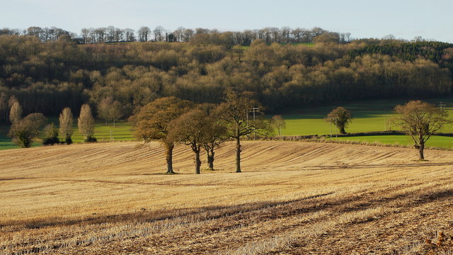
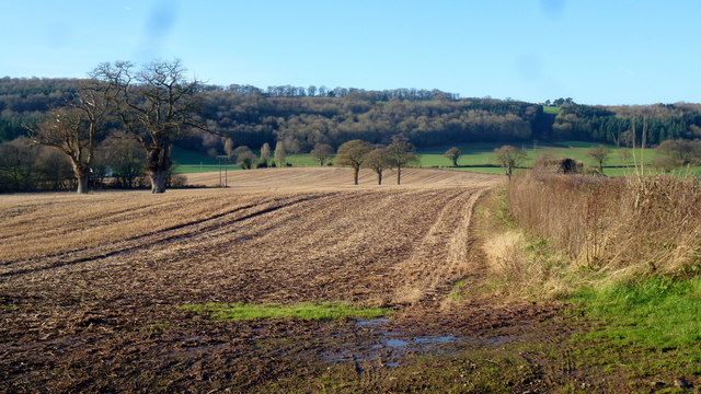
The forest surrounding Burnt Wood is a mix of deciduous and coniferous trees, providing a rich habitat for various wildlife species. The towering oak and beech trees create a dense canopy, allowing only dappled sunlight to filter through to the forest floor. This creates a unique ambiance and a sense of serenity that attracts nature enthusiasts and photographers alike.
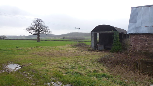
The village itself is quaint and charming, with traditional cottages made of local stone nestled amongst the trees. The community is tight-knit, and residents take great pride in maintaining the village's rural charm. A small, picturesque stream meanders through the village, adding to its idyllic charm.
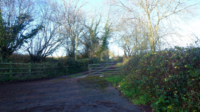
Burnt Wood is a haven for outdoor activities, with numerous walking and cycling trails that wind through the forest. These trails offer stunning views of the surrounding countryside and opportunities to spot rare wildlife, such as red deer and elusive bird species. The village also boasts a well-maintained picnic area, perfect for enjoying a packed lunch amidst the natural beauty.
Overall, Burnt Wood is a hidden gem in Herefordshire, offering a peaceful retreat from the hustle and bustle of modern life. Its enchanting woodland and friendly community make it a truly special place to visit or call home.
If you have any feedback on the listing, please let us know in the comments section below.
Burnt Wood Images
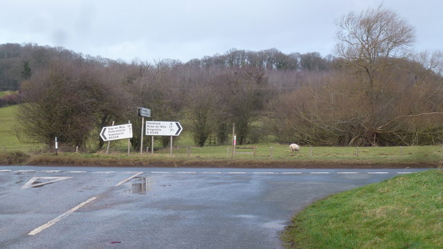
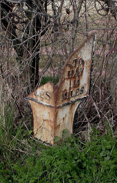
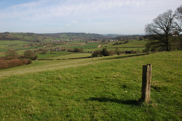
Images are sourced within 2km of 52.034057/-2.9000007 or Grid Reference SO3837. Thanks to Geograph Open Source API. All images are credited.


Burnt Wood is located at Grid Ref: SO3837 (Lat: 52.034057, Lng: -2.9000007)
Unitary Authority: County of Herefordshire
Police Authority: West Mercia
What 3 Words
///newspaper.boring.prowling. Near Tyberton, Herefordshire
Nearby Locations
Related Wikis

Tyberton
Tyberton or Tiberton is a village and civil parish 8 miles (13 km) west of Hereford, in the county of Herefordshire, England. In 2011 the parish had a...
Poston Camp
Poston Camp is an Iron Age hill fort located just south of Vowchurch, Herefordshire. == Further reading == Children, G; Nash, G (1994) Prehistoric Sites...

Vowchurch
Vowchurch is a village and civil parish in Herefordshire, England, situated in the Golden Valley, on the River Dore. The village is about 10 miles (16...
Vowchurch railway station
Vowchurch railway station was a railway station on the Golden Valley Railway line between Abergavenny and Hay-on-Wye. It served the village of Vowchurch...
Golden Valley (Herefordshire)
The Golden Valley is the name given to the valley of the River Dore in western Herefordshire, England. The valley is a picturesque area of gently rolling...
Turnastone
Turnastone is a village and civil parish 10 miles (16 km) west of Hereford, in the county of Herefordshire, England. In 2001 the parish had a population...
RAF Madley
Royal Air Force Madley, or more simply RAF Madley, was a Royal Air Force station situated 6.2 miles (10 km) south west of Hereford in Herefordshire, England...

Preston on Wye
Preston on Wye is a village and civil parish in Herefordshire, England. It is situated near the River Wye, about 9 miles west of Hereford. Nearby places...
Have you been to Burnt Wood?
Leave your review of Burnt Wood below (or comments, questions and feedback).