Bells Close Wood
Wood, Forest in Lancashire South Lakeland
England
Bells Close Wood

Bells Close Wood is a picturesque woodland located in Lancashire, England. Covering an area of approximately 100 acres, it is a popular destination for nature enthusiasts and outdoor lovers alike. The wood is situated near the village of Bickerstaffe, providing a peaceful and tranquil environment for visitors to enjoy.
The wood is primarily composed of native broadleaf trees, including oak, ash, and beech. These trees create a dense canopy, providing shade and shelter for a wide variety of wildlife. The forest floor is covered in a lush carpet of ferns, bluebells, and other wildflowers, adding to the natural beauty of the area.
The wood is crisscrossed with numerous trails and footpaths, allowing visitors to explore the area at their own pace. These paths vary in length and difficulty, catering to both casual walkers and more experienced hikers. Along the way, visitors may encounter wildlife such as deer, foxes, and a variety of bird species.
Bells Close Wood is managed and maintained by a local conservation organization, ensuring the preservation of its natural beauty and biodiversity. The wood is open to the public year-round, with no admission fee.
In addition to its natural attractions, the wood also has a picnic area where visitors can relax and enjoy a meal surrounded by the sights and sounds of nature. Overall, Bells Close Wood offers a peaceful retreat for those seeking to connect with the great outdoors and experience the beauty of Lancashire's woodlands.
If you have any feedback on the listing, please let us know in the comments section below.
Bells Close Wood Images
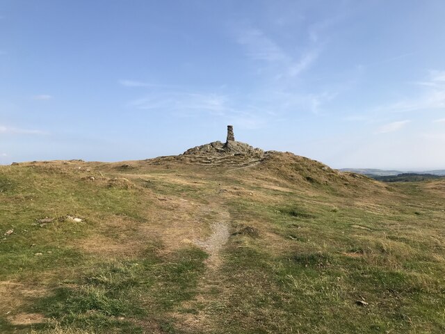
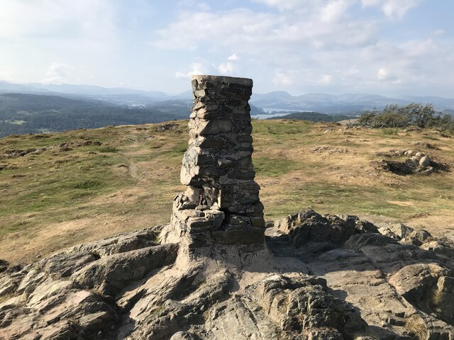
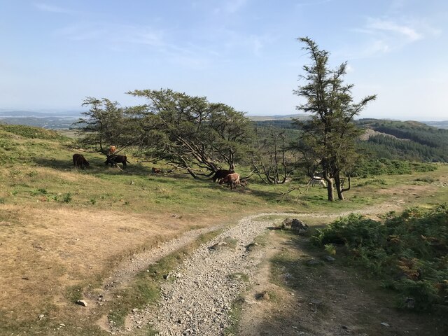
Images are sourced within 2km of 54.273486/-2.9490423 or Grid Reference SD3886. Thanks to Geograph Open Source API. All images are credited.

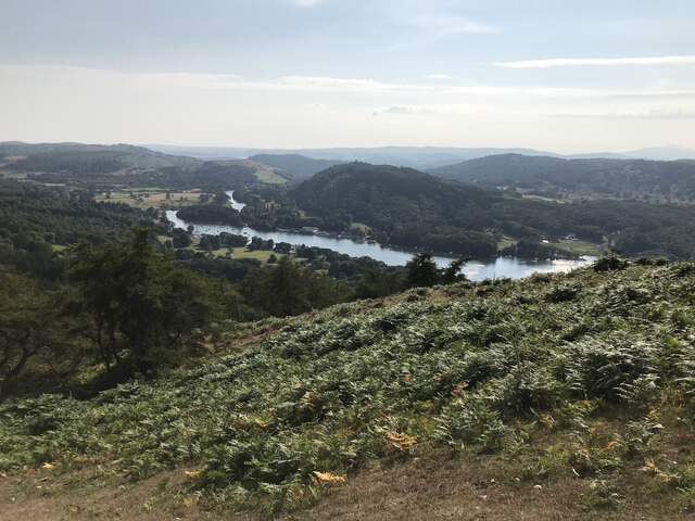
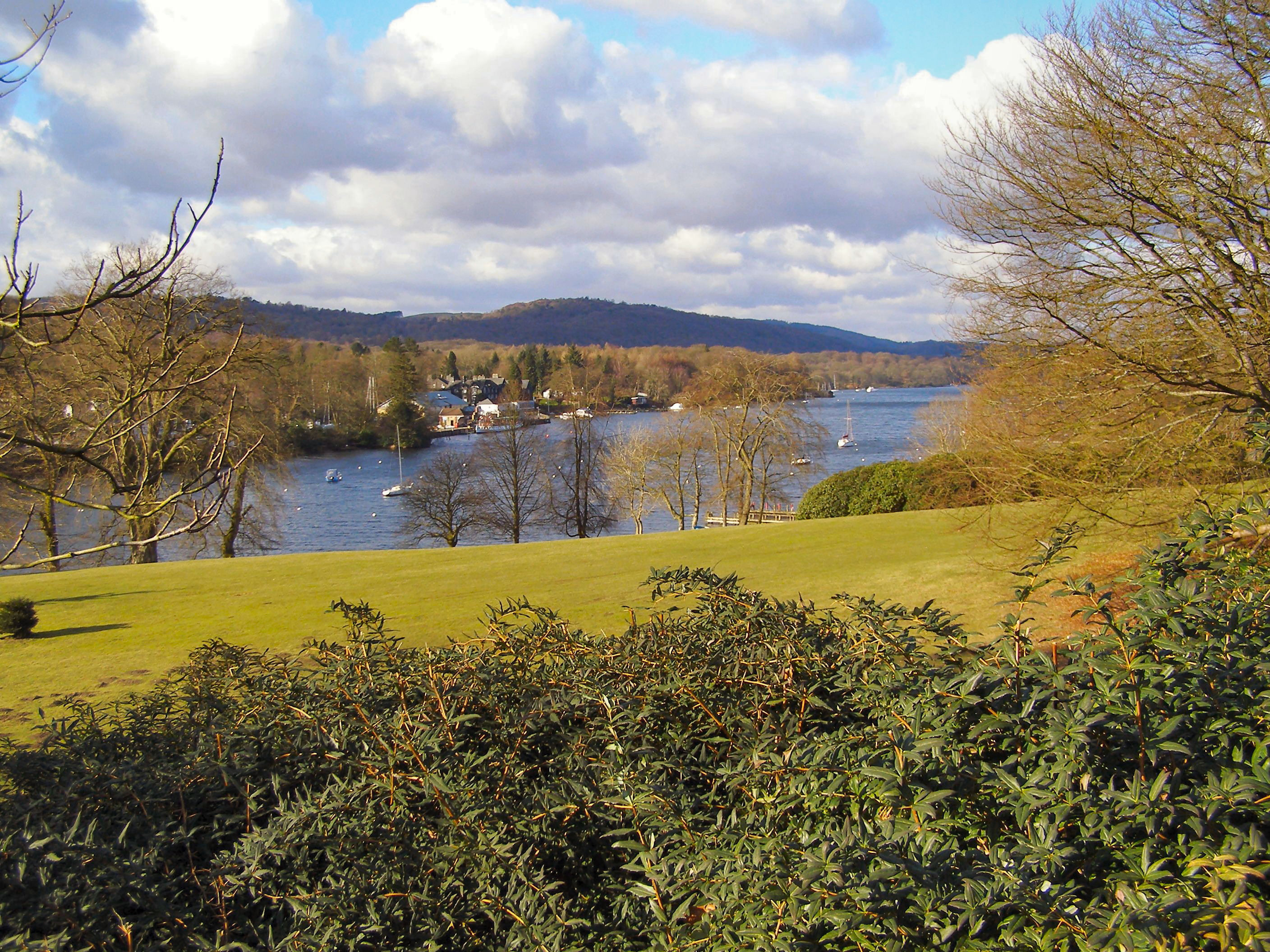
![Boat on the River Leven Heading upstream [locally north] towards Fell Foot and Lakeside.](https://s2.geograph.org.uk/geophotos/06/91/69/6916926_036d6930.jpg)


Bells Close Wood is located at Grid Ref: SD3886 (Lat: 54.273486, Lng: -2.9490423)
Administrative County: Cumbria
District: South Lakeland
Police Authority: Cumbria
What 3 Words
///soccer.serenade.scales. Near Grange-over-Sands, Cumbria
Nearby Locations
Related Wikis
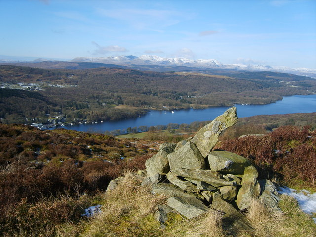
Fell Foot Park
Fell Foot Park is a country park situated at the southern end of Windermere in Cumbria, the largest lake in England. It is north of Newby Bridge in the...
Staveley Fell
Staveley Fell is an upland area in the English Lake District, near (and named for) Staveley-in-Cartmel (not to be confused with Staveley-in-Westmorland...

Lakes Aquarium
The Lakes Aquarium is an aquarium in the village of Lakeside on the southern shore of Windermere, Cumbria, England. It is one of the docking points of...
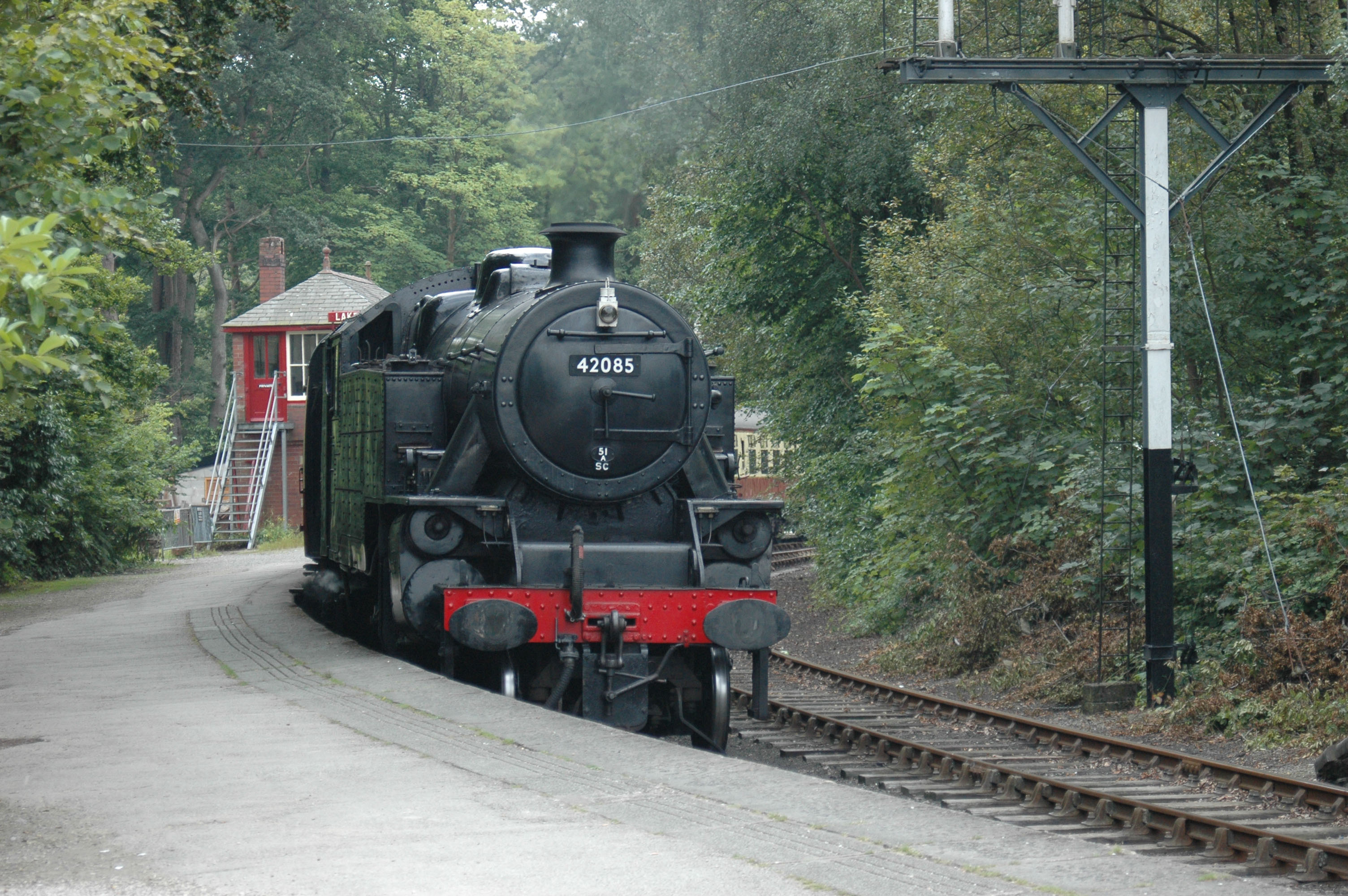
Lakeside railway station (England)
Lakeside railway station is on the heritage Lakeside and Haverthwaite Railway in England. It was previously the terminus of the Furness Railway Ulverston...
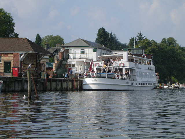
Lakeside, Cumbria
Lakeside is a village in Newby Bridge at the south end of Windermere, England. Now in the county of Cumbria, before county reorganisation of 1974 it was...

Staveley-in-Cartmel
Staveley-in-Cartmel is a small village and civil parish in South Lakeland district, Cumbria, England. It lies east of Newby Bridge, near the south end...
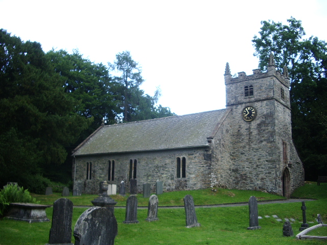
St Mary's Church, Staveley
St Mary's Church is in the village of Staveley-in-Cartmel, Cumbria, England. It is an active Anglican parish church in the deanery of Windermere, the archdeaconry...
Simpson Ground Reservoir
Simpson Ground Reservoir is a reservoir in Cumbria, England, near the southeastern end of Windermere. It is located within a Forestry Commission conifer...
Nearby Amenities
Located within 500m of 54.273486,-2.9490423Have you been to Bells Close Wood?
Leave your review of Bells Close Wood below (or comments, questions and feedback).