Barrett's Hill Wood

Wood, Forest in Herefordshire

England

Barrett's Hill Wood

North Lodge of Tyberton Court Pictured from the B4352 looking west.
North Lodge of Tyberton Court Credit: Jonathan Billinger

Barrett's Hill Wood is a picturesque woodland located in the county of Herefordshire, England. Situated on the outskirts of the small village of Barrett's Hill, this woodland is a true gem for nature enthusiasts and those seeking tranquility amidst the beauty of nature.

Covering an area of approximately 50 acres, Barrett's Hill Wood boasts a rich variety of flora and fauna. The wood is predominantly composed of deciduous trees, including oak, beech, and ash, which provide a vibrant canopy during the summer months. The forest floor is carpeted with a tapestry of wildflowers, such as bluebells and primroses, adding to the visual appeal of the woodland.

The wood is intersected by a network of well-maintained footpaths, allowing visitors to explore its enchanting surroundings. Walking through Barrett's Hill Wood, one can encounter an array of wildlife, including squirrels, rabbits, and various bird species. The peaceful atmosphere is often interrupted by the melodious chirping of birds and the rustling of leaves underfoot.

This woodland is not only a haven for nature lovers but also serves as an important ecological site. It acts as a habitat for a diverse range of species, contributing to the overall biodiversity of the region.

Barrett's Hill Wood is a popular destination for recreational activities such as walking, birdwatching, and photography. Its idyllic setting and unspoiled beauty make it a perfect getaway for those seeking solace and a connection with nature.

If you have any feedback on the listing, please let us know in the comments section below.

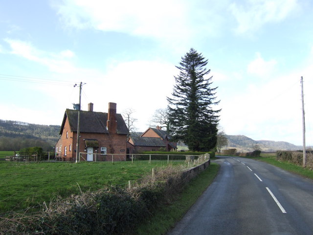
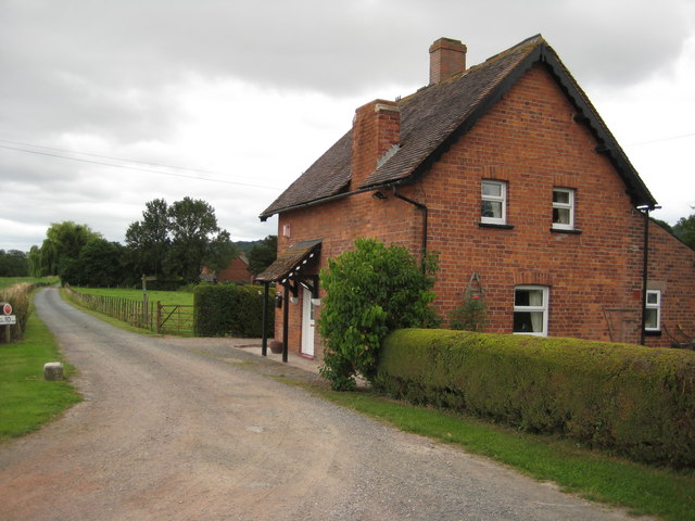
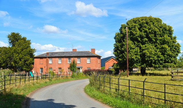
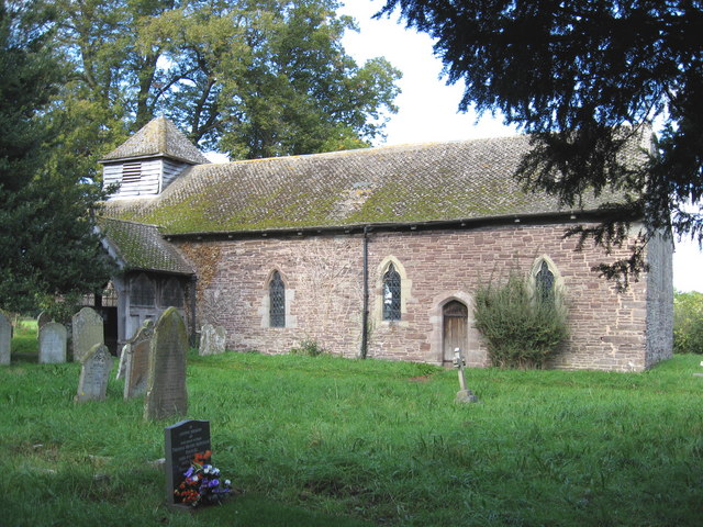
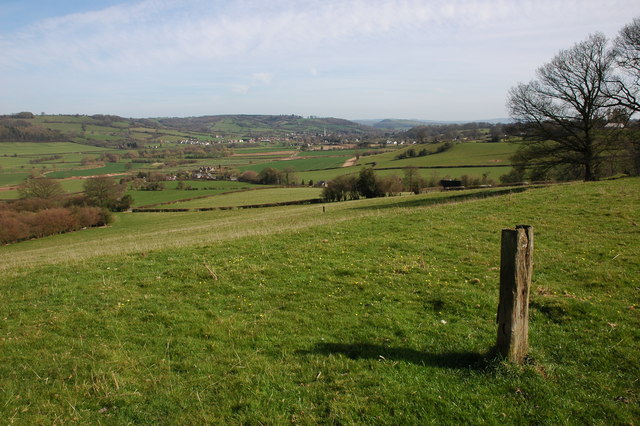
Barrett's Hill Wood Images

Images are sourced within 2km of 52.042287/-2.906596 or Grid Reference SO3738. Thanks to Geograph Open Source API. All images are credited.

North Lodge of Tyberton Court Pictured from the B4352 looking west.
North Lodge of Tyberton Court
Pictured from the B4352 looking west.
North Lodge, Tyberton Court North Lodge and entrance to Tyberton Court.
North Lodge, Tyberton Court
North Lodge and entrance to Tyberton Court.
Wheat fields at Blakemere Fields of wheat near Lower Blakemere Farm, Blakemere Hill Wood can be seen in the background.
Wheat fields at Blakemere
Fields of wheat near Lower Blakemere Farm, Blakemere Hill Wood can be seen in the background.
Lower Blakemere Farm Entrance to Lower Blakemere Farm.
Lower Blakemere Farm
Entrance to Lower Blakemere Farm.
St Mary, Tyberton An early 18th century rebuild of a church with Norman origins, as the South door confirms. The local mason Robert Pritchard was responsible, but he must have had help. Gothicised as late as 1879-80. The interior is one of the county's best kept architectural secrets. Tyberton Court was the seat of the Brydges fanily and it was one of the many great houses lost in the 1950s.
St Mary, Tyberton
An early 18th century rebuild of a church with Norman origins, as the South door confirms. The local mason Robert Pritchard was responsible, but he must have had help. Gothicised as late as 1879-80. The interior is one of the county's best kept architectural secrets. Tyberton Court was the seat of the Brydges fanily and it was one of the many great houses lost in the 1950s.
St Mary, Tyberton An early 18th century rebuild of a church with Norman origins, as the South door confirms. The local mason Robert Pritchard was responsible, but he must have had help. Gothicised as late as 1879-80. The interior is one of the county's best kept architectural secrets. The churchyard cross is a complete work of the 14th century, a great rarity. 

Tyberton Court was the seat of the Brydges fanily and it was one of the many great houses lost in the 1950s.
St Mary, Tyberton
An early 18th century rebuild of a church with Norman origins, as the South door confirms. The local mason Robert Pritchard was responsible, but he must have had help. Gothicised as late as 1879-80. The interior is one of the county's best kept architectural secrets. The churchyard cross is a complete work of the 14th century, a great rarity. Tyberton Court was the seat of the Brydges fanily and it was one of the many great houses lost in the 1950s.
Churchyard cross, Tyberton A rare survival in that the head, shaft and base all date from the 14th century. 'This is a complete and finely detailed example' says the Royal Commission on Historical Monuments survey.
Churchyard cross, Tyberton
A rare survival in that the head, shaft and base all date from the 14th century. 'This is a complete and finely detailed example' says the Royal Commission on Historical Monuments survey.
St Mary, Tyberton The fabulous apse and reredos, by John Wood of Bath and completed in 1731. The patrons were the Brydges family of Tyberton Court.
St Mary, Tyberton
The fabulous apse and reredos, by John Wood of Bath and completed in 1731. The patrons were the Brydges family of Tyberton Court.
St Mary, Tyberton The fine 18th century lectern.
St Mary, Tyberton
The fine 18th century lectern.
St Mary, Tyberton The nave. A complete and unspoiled 18th century interior.
St Mary, Tyberton
The nave. A complete and unspoiled 18th century interior.
St Mary, Tyberton The font, carved by Stephen Reeve of Gloucester in the early 18th century.
St Mary, Tyberton
The font, carved by Stephen Reeve of Gloucester in the early 18th century.
Memorial to Francis Brydges, died 1727 A fine double tablet on the North wall of the chancel. The Brydges owned the Tyberton Court estate from 1650 until 1820. Brydges money psid for the rebuilding of the church in 1719-21 by local mason Robert Pritchard.
Memorial to Francis Brydges, died 1727
A fine double tablet on the North wall of the chancel. The Brydges owned the Tyberton Court estate from 1650 until 1820. Brydges money psid for the rebuilding of the church in 1719-21 by local mason Robert Pritchard.
Memorial to Margaret Brydges, died 1671 A fine memorial to a member of the local landowning family from Tyberton Court. The memorial, which is in urgent need of repair, pre-dates the church and was originally set up in the Norman building which was swept away in 1719-21.
Memorial to Margaret Brydges, died 1671
A fine memorial to a member of the local landowning family from Tyberton Court. The memorial, which is in urgent need of repair, pre-dates the church and was originally set up in the Norman building which was swept away in 1719-21.
St Mary, Tyberton Box pews, dark oak and the Arms of George I and the Brydges family, whose memorials line the walls, are features of this classic early Georgian interior.
St Mary, Tyberton
Box pews, dark oak and the Arms of George I and the Brydges family, whose memorials line the walls, are features of this classic early Georgian interior.
St Mary, Tyberton The nave, complete with virtual vicar in the corner.
St Mary, Tyberton
The nave, complete with virtual vicar in the corner.
St Mary, Tyberton
St Mary, Tyberton
Woodfield Farm, Tyberton A fine early 19th century farmhouse in Tyberton.
Woodfield Farm, Tyberton
A fine early 19th century farmhouse in Tyberton.
Show me another place!

Barrett's Hill Wood is located at Grid Ref: SO3738 (Lat: 52.042287, Lng: -2.906596)

Unitary Authority: County of Herefordshire

Police Authority: West Mercia

What 3 Words

///tone.lizards.stems. Near Tyberton, Herefordshire

Related Wikis

Tyberton

Tyberton or Tiberton is a village and civil parish 8 miles (13 km) west of Hereford, in the county of Herefordshire, England. In 2011 the parish had a...
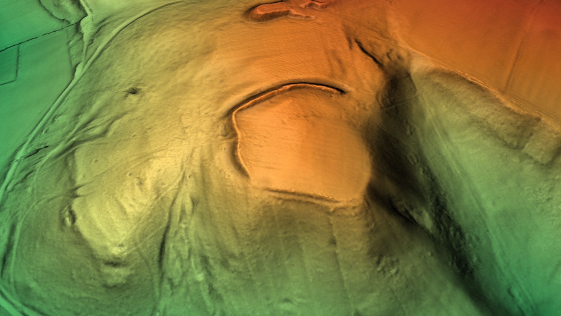
Poston Camp

Poston Camp is an Iron Age hill fort located just south of Vowchurch, Herefordshire. == Further reading == Children, G; Nash, G (1994) Prehistoric Sites...

Preston on Wye

Preston on Wye is a village and civil parish in Herefordshire, England. It is situated near the River Wye, about 9 miles west of Hereford. Nearby places...

Vowchurch

Vowchurch is a village and civil parish in Herefordshire, England, situated in the Golden Valley, on the River Dore. The village is about 10 miles (16...

Vowchurch railway station

Vowchurch railway station was a railway station on the Golden Valley Railway line between Abergavenny and Hay-on-Wye. It served the village of Vowchurch...

Turnastone

Turnastone is a village and civil parish 10 miles (16 km) west of Hereford, in the county of Herefordshire, England. In 2001 the parish had a population...

Golden Valley (Herefordshire)

The Golden Valley is the name given to the valley of the River Dore in western Herefordshire, England. The valley is a picturesque area of gently rolling...

Blakemere

Blakemere is a parish in Herefordshire, England. It is 11 miles west of Hereford, on the road to Hay-on-Wye. == External links == Media related to Blakemere...

Nearby Amenities

Located within 500m of 52.042287,-2.906596
Power: pole
Source: Bing
Lat/Long: 52.0397998/-2.9076754
Power: pole
Source: Bing
Lat/Long: 52.0396744/-2.9097621
Power: pole
Source: Bing
Lat/Long: 52.0401001/-2.9029279
Power: pole
Source: Bing
Lat/Long: 52.0401364/-2.904446
Power: pole
Source: Bing
Lat/Long: 52.0399087/-2.9079865
Power: pole
Source: Bing
Lat/Long: 52.0400423/-2.9009886
Power: pole
Source: Bing
Lat/Long: 52.0401892/-2.9059239
Power: pole
Source: Bing
Lat/Long: 52.0395506/-2.9095878
Barrier: stile
Lat/Long: 52.0425832/-2.8994596
Power: pole
Lat/Long: 52.0393278/-2.91131
Power: pole
Lat/Long: 52.0393641/-2.9109239
Power: pole
Source: Bing
Lat/Long: 52.0399207/-2.9009276
The data included in this document is from www.openstreetmap.org. The data is made available under ODbL.

Have you been to Barrett's Hill Wood?

Leave your review of Barrett's Hill Wood below (or comments, questions and feedback).