Cockhill

Settlement in Somerset South Somerset

England

Cockhill

The Orchard Inn
The Orchard Inn Credit: Roger Cornfoot

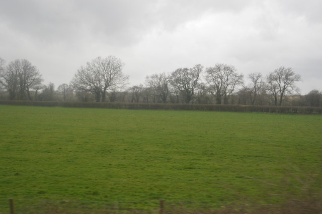
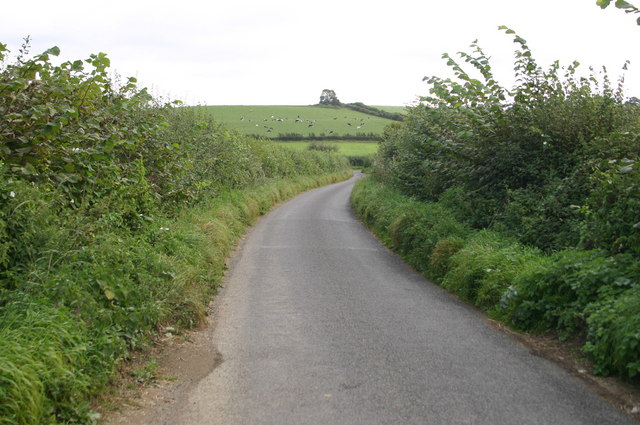
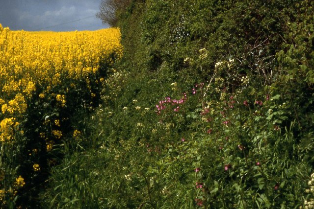
Cockhill is a small village located in the county of Somerset, England. Situated approximately 5 miles south of the town of Yeovil, it falls within the local government district of South Somerset. The village is nestled in a picturesque rural setting, surrounded by rolling hills and lush fields.

Cockhill has a rich history, with evidence of human habitation dating back to the prehistoric period. The village itself comprises a cluster of traditional stone cottages, many of which date back several centuries, giving it a charming and timeless atmosphere. The local church, St. Mary's, is a prominent feature of the village, and its history can be traced back to the 12th century.

Despite its small size, Cockhill is a close-knit community with a strong sense of community spirit. The village has a primary school, which serves the local children, and a village hall that acts as a hub for various social events and activities. There is also a local pub, The Cockhill Inn, which is known for its warm hospitality and traditional English fare.

The surrounding countryside offers ample opportunities for outdoor activities, such as hiking, cycling, and horse riding. The nearby Yeovil Country Park, with its vast woodlands and scenic trails, is a popular destination for nature enthusiasts. Additionally, the village's proximity to Yeovil provides residents with easy access to a range of amenities, including shopping centers, schools, and healthcare facilities.

In summary, Cockhill is a charming village in the heart of Somerset, known for its historic architecture, strong community spirit, and idyllic countryside.

If you have any feedback on the listing, please let us know in the comments section below.
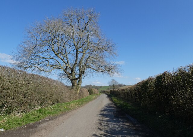
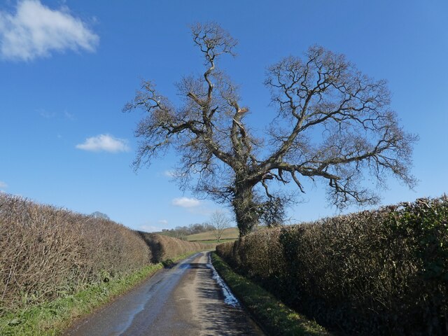
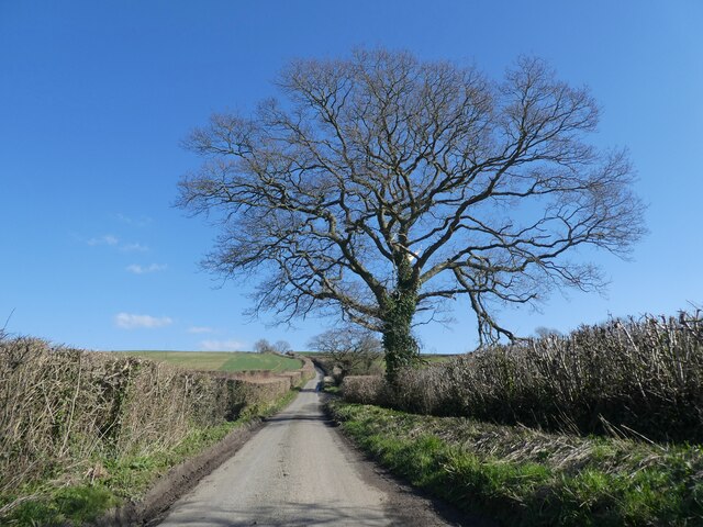
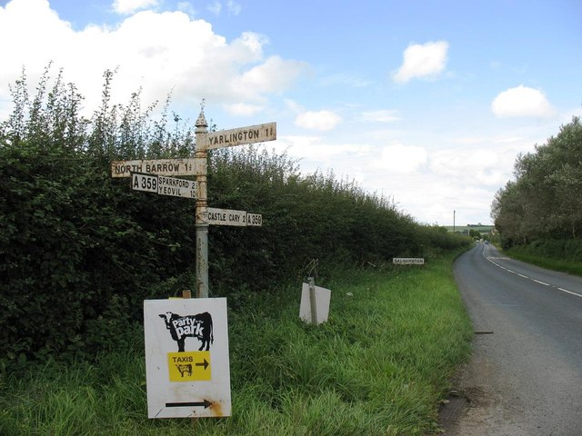
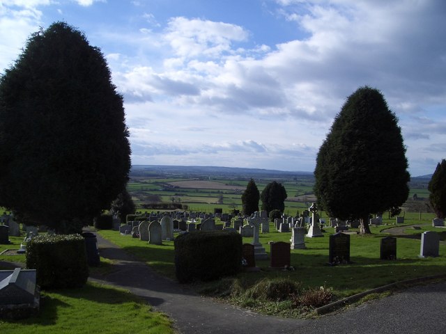
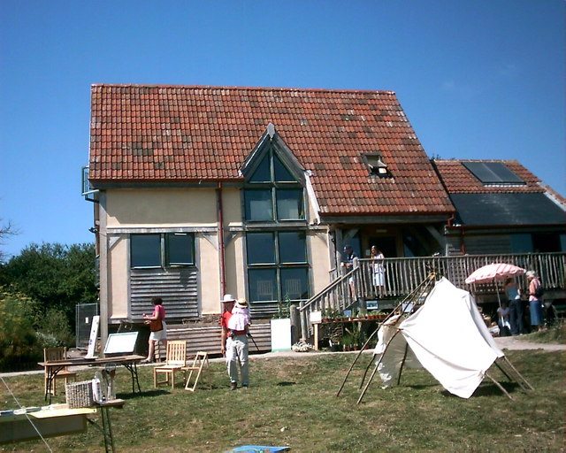
Cockhill Images

Images are sourced within 2km of 51.079124/-2.531727 or Grid Reference ST6231. Thanks to Geograph Open Source API. All images are credited.

The Orchard Inn
The Orchard Inn
Former garage, Galhampton
Minor road to Galhampton
The A359 approaching Galhampton
Countryside near North Barrow
The Parish Church of Galhampton
Lane from North Barrow Lane from North Barrow heading towards the A359
Lane from North Barrow
Lane from North Barrow heading towards the A359
Rape field near Castle Cary Organic farming
Rape field near Castle Cary
Organic farming
View towards Castle Cary
Castle Cary fire station Castle Cary fire station, Millbrook Gardens, Castle Cary, Somerset
Castle Cary fire station
Castle Cary fire station, Millbrook Gardens, Castle Cary, Somerset
Old Market House Grand old building in the centre of Castle Cary.  We sheltered underneath this building during a sharp shower while walking the Leland Trail
Old Market House
Grand old building in the centre of Castle Cary. We sheltered underneath this building during a sharp shower while walking the Leland Trail
Dimmer Recycling Centre Vehicles pull up alongside the various skips to sort and recycle household waste.
Dimmer Recycling Centre
Vehicles pull up alongside the various skips to sort and recycle household waste.
Castle Cary Cemetery Looking out over the gravestones towards Glastonbury.
Castle Cary Cemetery
Looking out over the gravestones towards Glastonbury.
Bailey Hill, Castle Cary A phonebox stands in the quaintly cobbled Bailey Hill, next to the Market House
Bailey Hill, Castle Cary
A phonebox stands in the quaintly cobbled Bailey Hill, next to the Market House
Shopfront in Fore Street, Castle Cary A shopfront with a history. Once an oldfashioned ironmongers, now a hairdressers.
Shopfront in Fore Street, Castle Cary
A shopfront with a history. Once an oldfashioned ironmongers, now a hairdressers.
The Eco House at Carymoor Environmental Centre The environmental centre at one of its open days.
The Eco House at Carymoor Environmental Centre
The environmental centre at one of its open days.
Show me another place!

Cockhill is located at Grid Ref: ST6231 (Lat: 51.079124, Lng: -2.531727)

Administrative County: Somerset

District: South Somerset

Police Authority: Avon and Somerset

What 3 Words

///trunk.tasks.watchdogs. Near Castle Cary, Somerset

Related Wikis

Church of All Saints, Castle Cary

All Saints Church in Castle Cary in the English county of Somerset dates from 1470 and is notable for its high steeple. It is a Grade II* listed building...

Castle Cary

Castle Cary () is a market town and civil parish in south Somerset, England, 5 miles (8 km) north west of Wincanton and 8 miles (12.9 km) south of Shepton...

Cary Castle

Cary Castle stood on Lodge Hill overlooking the town of Castle Cary, Somerset, England. It is a Scheduled Ancient Monument. == Details == The motte and...

Church of St Andrew, Ansford

The Church of St Andrew in Ansford, Somerset, England, was built in the 15th century. It is a Grade II* listed building. == History == The tower remains...

Nearby Amenities

Located within 500m of 51.079124,-2.531727
Power: pole
Source: bing
Transformer: distribution
Lat/Long: 51.0792479/-2.536777
Power: pole
Source: bing
Lat/Long: 51.0792496/-2.5382602
Power: pole
Source: bing
Lat/Long: 51.078667/-2.5376306
Power: pole
Source: bing
Lat/Long: 51.0780279/-2.5369567
Power: pole
Source: bing
Lat/Long: 51.0778527/-2.5360394
Power: pole
Source: bing
Lat/Long: 51.0776909/-2.5351569
Power: pole
Source: bing
Lat/Long: 51.0775156/-2.5342691
Power: pole
Source: bing
Lat/Long: 51.0773589/-2.5334671
Power: pole
Source: bing
Lat/Long: 51.0771803/-2.5326169
Power: pole
Source: bing
Lat/Long: 51.0770168/-2.5317934
Power: pole
Source: bing
Lat/Long: 51.076968/-2.5307554
Power: pole
Source: bing
Lat/Long: 51.0769208/-2.5298622
Power: pole
Source: bing
Lat/Long: 51.076877/-2.5289342
Power: pole
Source: bing
Lat/Long: 51.0768281/-2.5280035
Power: pole
Source: bing
Lat/Long: 51.0767809/-2.5270593
Power: pole
Source: bing
Lat/Long: 51.0767354/-2.5261742
The data included in this document is from www.openstreetmap.org. The data is made available under ODbL.

Have you been to Cockhill?

Leave your review of Cockhill below (or comments, questions and feedback).